
If you are looking for a Blank Map of Chile for geography study, classroom activities, research, or printable worksheets, this page provides several useful Chile map formats. You can download the maps as PNG or PDF files and use them for labeling, coloring, geography practice, presentations, and educational projects.
Chile is a long and narrow country on the western side of South America. It borders Peru to the north, Bolivia to the northeast, and Argentina to the east, while the Pacific Ocean lies to the west. Chile’s distinctive geography makes a blank outline map especially useful for studying its borders, regions, mountain ranges, coastline, and major geographic areas.
- Blank Map of France
- Blank Map of Armenia
- World map with continents
- Blank map of World
- Labeled map of North America
- labeled map of Asia
- Physical map of World
- Labeled map of South America
- Labeled map of Africa
- Blank Map of Egypt
- Blank Map of Ethiopia
- Labeled map of Europe
- World map poster
- World map with oceans
- World time zone map
- Blank Map of Azerbaijan
- Labeled Map of World
- Blank Map of Sudan
- Blank map of Asia
- Political Map of World
- Blank Map of Finland
- Blank Map of Fiji
Blank Map of Chile – Outline
The Blank Map of Chile provides a simple country outline that can be used for geography lessons, school assignments, labeling exercises, coloring activities, and map-based research. Its uncluttered design makes it easier to add locations, borders, geographic features, or regional information by hand.
Chile occupies the southwestern part of South America and has a distinctive north-to-south shape. The Andes form a major geographic feature along the country’s eastern side, while the Pacific Ocean borders Chile to the west. Chile’s territory also includes islands and extends into the southern regions of Patagonia.
For students, an outline map can be particularly useful when learning the country’s neighboring nations, regions, major cities, physical geography, and coastline.
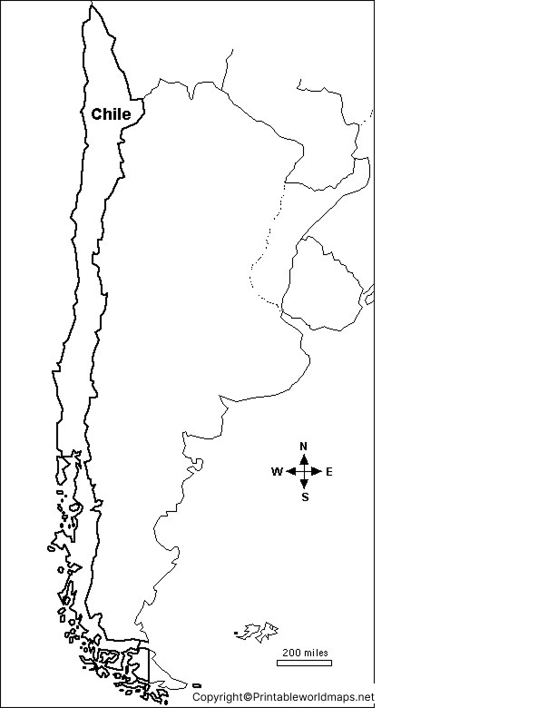
Printable Map of Chile
A Printable Map of Chile can be downloaded and printed for classroom activities, homework, geography projects, and independent study. A printable map is useful when students need a physical reference that they can annotate or label.
Chile has 16 administrative regions, providing another useful way to study the country’s political geography.
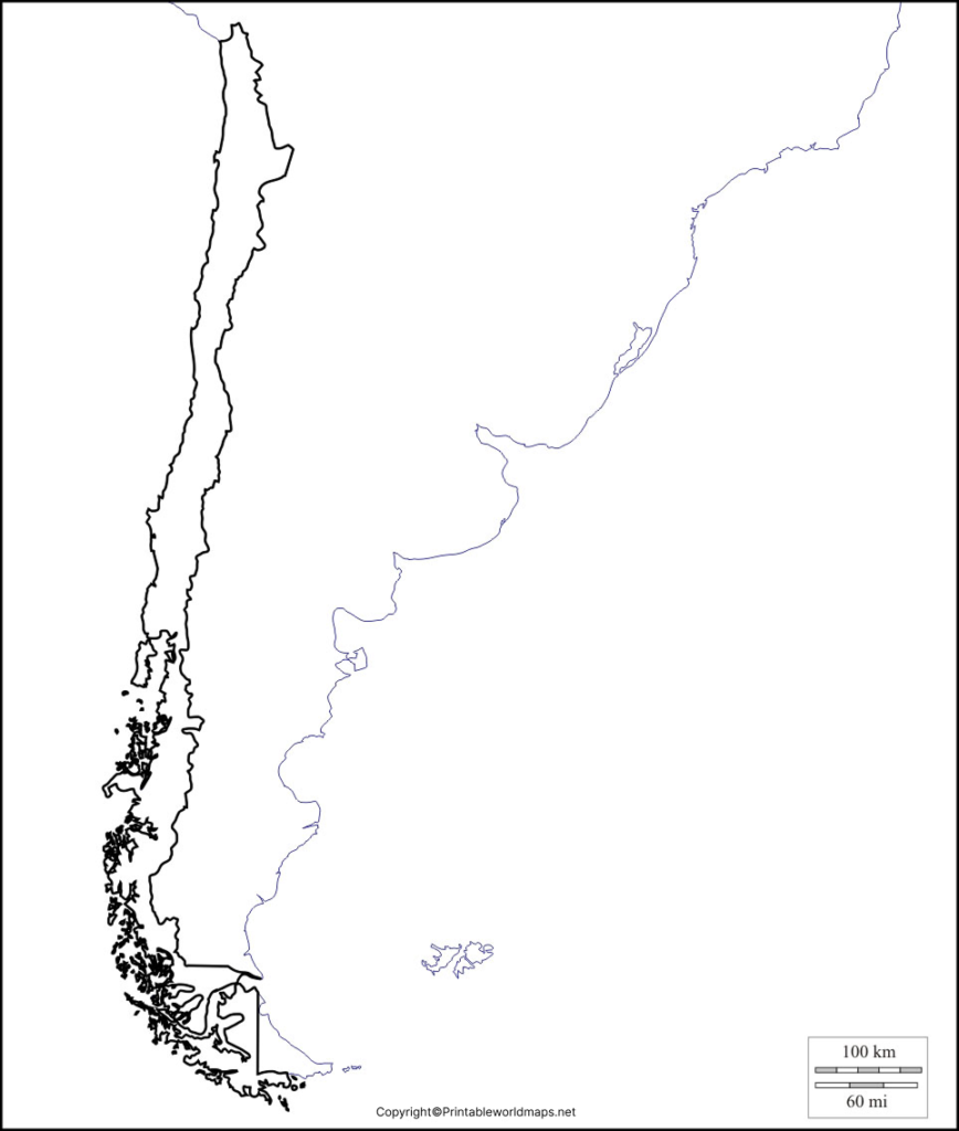
A printable Chile map can be used to identify or study:
- Chile’s international borders
- The Pacific coastline
- The Andes Mountains
- The Atacama Desert
- Central Chile
- Patagonia
- Major cities and regions
- Chilean islands and southern territories
Transparent PNG Chile Map
A Transparent PNG Chile Map can be useful for presentations, educational worksheets, graphic design projects, and digital geography activities. The transparent background allows the outline to be placed over another background without requiring a white map box.
PNG format is particularly convenient when the map needs to be inserted into presentations, documents, worksheets, or other digital projects.
For best results, check the image dimensions and resolution before using the map in a large printed project.
Map of Chile for Practice Worksheet
A Map of Chile for Practice Worksheet can help students learn the country’s geography through labeling and recall exercises. Students can use the blank map to identify borders, regions, cities, mountains, deserts, and other geographic features.
The worksheet can be used for classroom assignments, geography revision, homework, or self-study. Teachers can also adapt a blank Chile outline into quizzes by asking students to label specific regions or physical features.
Chile Geography Facts
The Blank Map of Chile becomes more useful when combined with basic geographical facts. Here are
several facts students can use while working with the map:
- Continent: South America
- Capital: Santiago
- Western boundary: Pacific Ocean
- Northern neighbors: Peru and Bolivia
- Eastern neighbor: Argentina
- Administrative regions: 16
- Surface area: approximately 757,245 km² according to recent World Bank data.
- Population: approximately 19.86 million in 2025 according to the World Bank.
- Major physical regions: Atacama Desert, Andes, Central Valley, coastal ranges, and Patagonia.
Chile’s geography is particularly diverse because its territory stretches across a large north-south range. The Atacama Desert characterizes much of the north, central Chile has a Mediterranean-type environment, and southern Chile includes extensive Patagonia and mountainous landscapes.
Why Use a Blank Map of Chile?
A Blank Map of Chile can be useful for more than simple coloring. It can support active learning by asking students to locate and label geographic features themselves.
Common uses include:
- School geography assignments – Students can label regions, borders, and physical features.
- Map quizzes – Teachers can remove labels and test students’ geographical knowledge.
- Coloring activities – Younger learners can color regions or physical features.
- Research projects – Students can annotate the map with information gathered from reliable sources.
- Presentations – PNG maps can be incorporated into educational slides and digital documents.
- Revision worksheets – Blank maps can be reused for geography practice.
Chile’s Physical Geography
Chile’s physical geography is one of its most distinctive characteristics. The country includes the Andes Cordillera, the Coastal Cordillera, the Central Valley, the Atacama Desert, and the landscapes of Patagonia in the south.
This geographical variety makes Chile a useful example when studying how latitude, elevation, mountains, deserts, and coastal environments influence landscapes and climate.
Chile Map: North to South
Chile’s geography changes considerably from north to south.
Northern Chile is dominated by extremely dry landscapes, including the Atacama Desert and high-elevation areas near the Andes.
Central Chile contains the country’s largest population centers and includes the Santiago metropolitan area and fertile valleys.
Southern Chile becomes cooler and wetter, with forests, fjords, islands, mountains, and Patagonia.
This north-to-south variation makes an outline map useful for geography exercises because students can compare different physical environments within one country.
Interesting Facts About Chile
Here are some additional facts that can make a Chile geography lesson more engaging:
- Chile is one of the world’s most geographically elongated countries.
- The Andes form a major natural boundary along much of Chile’s eastern side.
- Chile’s territory includes mainland South America as well as islands in the Pacific.
- Easter Island, also known as Rapa Nui, is part of Chile and lies in Polynesia.
- Chile has territory extending into the far south of South America and claims a sector of Antarctica.
- Chile’s administrative structure includes 16 regions, 56 provinces, and 346 municipalities.
- The country has exceptionally varied landscapes, ranging from desert environments in the north to glacial and fjord landscapes in the far south.
How to Use the Blank Chile Map
You can use the map in several simple ways:
For students: Print the outline and label neighboring countries, regions, cities, mountains, and deserts.
For teachers: Turn the map into a quiz by removing geographic labels and asking students to complete them.
For projects: Add colors, arrows, labels, or symbols to highlight Chile’s physical and political geography.
For digital work: Use the PNG version in presentations, worksheets, and educational documents.
Frequently Asked Questions
What is a Blank Map of Chile used for?
A Blank Map of Chile is commonly used for geography assignments, map-labeling exercises, classroom activities, quizzes, coloring, and educational projects.
Where is Chile located?
Chile is located along the western side of South America. It is bordered by Peru, Bolivia, and Argentina, with the Pacific Ocean to the west.
What is the capital of Chile?
The capital of Chile is Santiago.
How many regions does Chile have?
Chile has 16 administrative regions.
What countries border Chile?
Chile shares land borders with Peru, Bolivia, and Argentina.
What are the major physical features of Chile?
Important physical features include the Andes Mountains, Atacama Desert, Central Valley, Coastal Cordillera, and Patagonia.
Can I print the Blank Map of Chile?
Yes. The map files provided on this page can be downloaded in printable formats such as PDF and PNG.
Can I use the transparent Chile map digitally?
Yes. A transparent PNG is useful for presentations, worksheets, graphic projects, and other digital educational materials.
How large is Chile?
The World Bank reports Chile’s surface area at approximately 757,245 square kilometres.
What is Chile’s population?
The World Bank reports a population of approximately 19.86 million for 2025.
Reference links
https://data.worldbank.org/country/cl
https://esgdata.worldbank.org/data/countries?iso3=CHL









