

Blank Map of North Dakota resources are useful for students, teachers, homeschool activities, geography projects, presentations, and anyone who needs a clean North Dakota state outline. This page provides printable North Dakota maps in outline, blank, transparent PNG, and worksheet formats, along with downloadable PDF versions.
North Dakota is a state in the north-central United States. It borders Montana to the west, South Dakota to the south, Minnesota to the east, and the Canadian provinces of Saskatchewan and Manitoba to the north. Bismarck is the state capital. North Dakota became a state on November 2, 1889.
The Red River of the North forms much of North Dakota’s eastern boundary with Minnesota. Its winding course is an important geographic feature shown on many North Dakota maps.
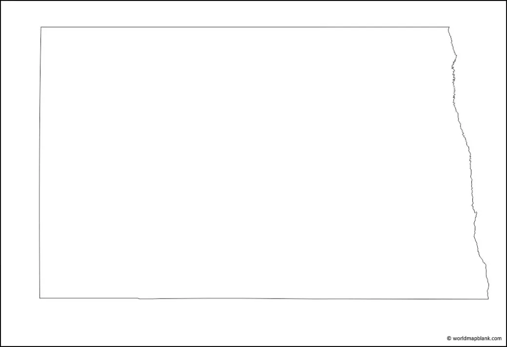
Blank Map of North Dakota – Outline

This Blank Map of North Dakota provides a simple state outline that can be used for labeling exercises, classroom assignments, geography practice, and educational projects.
The outline is particularly useful when students need to identify North Dakota’s position relative to neighboring states and Canada. The state’s eastern boundary follows the Red River of the North and, farther south, the Bois de Sioux River.
The map can also be used to practice identifying Bismarck, major cities, counties, highways, rivers, and other geographic features, depending on the version selected.
Printable Map of North Dakota

A Printable Map of North Dakota can be downloaded and printed for school projects, geography activities, presentations, and general reference.
Printable maps are particularly useful when a student needs to label state borders, cities, rivers, or other geographic features by hand. A blank or lightly detailed map can also be used as a classroom worksheet.
For the most accurate geographic reference, North Dakota’s official sources identify Minnesota, Montana, and South Dakota as its neighboring states and Manitoba and Saskatchewan as its Canadian neighbors.
Transparent Blank Map of North Dakota
This Transparent Blank Map of North Dakota is suitable for presentations, educational graphics, worksheets, and digital projects where a transparent state outline is needed.
A transparent PNG can be placed over another background or combined with labels, diagrams, photographs, and presentation slides.
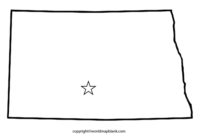
Blank Map of North Dakota for Students
A Blank Map of North Dakota can help students practice state geography without relying on pre-labeled information. Teachers can use it for quizzes, labeling exercises, classroom activities, and geography assignments.
Students can label:
- Bismarck, the state capital
- Fargo
- Grand Forks
- Minot
- Williston
- Major rivers
- Neighboring states
- The Canadian border
- Counties and other geographic features
The exact features available depend on the map version.
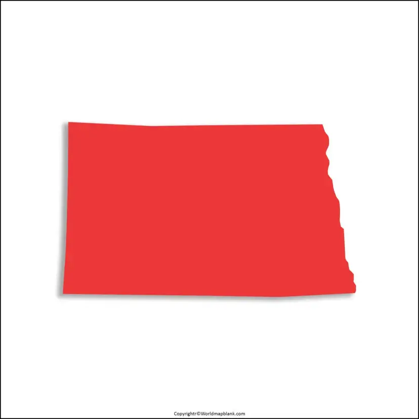
North Dakota Map Worksheet

The North Dakota Map Worksheet is designed for geography practice. Students can use a blank outline to identify locations, state boundaries, cities, rivers, and other geographic features.
A worksheet format can be useful for:
- Geography homework
- Classroom assignments
- Map-labeling practice
- Homeschool lessons
- Geography quizzes
- Student presentations
- State research projects
North Dakota Map Facts
North Dakota has several geographic characteristics that make its outline and blank maps useful for studying the state’s location and physical geography.
| Fact | North Dakota |
|---|
| State abbreviation | ND |
| Capital | Bismarck |
| Statehood | November 2, 1889 |
| Western neighbor | Montana |
| Southern neighbor | South Dakota |
| Eastern neighbor | Minnesota |
| Northern neighbors | Saskatchewan and Manitoba |
| Highest point | White Butte, 3,506 feet |
| Approximate total area | 70,699 square miles |
| Major eastern boundary feature | Red River of the North |
North Dakota covers about 70,699 square miles, according to the North Dakota Game and Fish Department. The U.S. Census Bureau separately reports 68,995.86 square miles of land area for 2020; the difference reflects different geographic-area measurements and definitions, so the original article’s statement of 70,698 square miles of area should not be described as square meters.
White Butte in southwestern North Dakota is the state’s highest point at approximately 3,506 feet above sea level.
North Dakota Borders and Geography
North Dakota’s location is easy to understand using a blank state map.
- North: Saskatchewan and Manitoba, Canada
- East: Minnesota
- South: South Dakota
- West: Montana
The Red River of the North forms the eastern state boundary with Minnesota. The river flows northward through the Red River Valley before continuing into Manitoba and eventually reaching Lake Winnipeg.
The Red River Valley is also notable for its exceptionally flat terrain. The valley occupies the former floor of glacial Lake Agassiz, leaving extensive deposits of silt and clay.
Why Use a Blank Map of North Dakota?
A blank map can be more useful for learning than a fully labeled map when the goal is active practice.
Students can use a Blank Map of North Dakota to:
- Learn the state’s position within the United States
- Practice neighboring-state identification
- Label cities and rivers
- Study state boundaries
- Prepare geography assignments
- Create school presentations
- Complete map-based quizzes
- Practice before an examination
Teachers can also print multiple copies and create different exercises from the same outline.
Frequently Asked Questions About the Blank Map of North Dakota
What is a Blank Map of North Dakota?
A Blank Map of North Dakota is an unlabeled or minimally labeled outline map of the state. It can be used for geography practice, educational projects, worksheets, and presentations.
Can I download a Blank Map of North Dakota as a PDF?
Yes. PDF versions are provided with the map resources on this page. PDF files are convenient for saving, printing, and classroom use.
What is the capital of North Dakota?
Bismarck is the capital of North Dakota.
Which states border North Dakota?
North Dakota borders Montana, South Dakota, and Minnesota. It also has an international boundary with the Canadian provinces of Saskatchewan and Manitoba.
What river forms the eastern border of North Dakota?
The Red River of the North forms much of the eastern boundary between North Dakota and Minnesota. The southern portion also involves the Bois de Sioux River.
When did North Dakota become a state?
North Dakota became a state on November 2, 1889.
What is the highest point in North Dakota?
White Butte is the highest point in North Dakota, at approximately 3,506 feet above sea level.
Who can use a printable North Dakota map?
Students, teachers, homeschoolers, researchers, designers, and anyone working on a geography or North Dakota-related project can use a printable map.
Can I use a transparent North Dakota map in a presentation?
Yes. A transparent PNG can be useful for presentations, educational graphics, worksheets, and digital designs because it can be placed over another background.
North Dakota Map Resources
For authoritative geographic information, readers can consult the North Dakota state government, North Dakota Geological Survey, North Dakota Game and Fish Department, and U.S. Census Bureau. These sources provide information about state boundaries, geography, area, population, and other official statistics.
Reference Links
North Dakota State Government – State Facts
https://www.nd.gov/state-facts
North Dakota Geological Survey – State Boundaries
https://www.dmr.nd.gov/dmr/ndgs/boundaries
North Dakota Game and Fish – Geological Regions and Geology
https://gf.nd.gov/ecology/ecoregion
U.S. Census Bureau – North Dakota QuickFacts
https://www.census.gov/quickfacts/fact/map/ND/POP010220
North Dakota State Water Commission – Red River Basin
https://www.swc.nd.gov/basins/red_river/red_river.html
North Dakota State Historical Society – Statehood Map
https://www.history.nd.gov/textbook/unit1_natworld/unit1_2_statehood.html
More Free Printable Maps for Download
Here is a collection of other maps you can get on our website for free in PDF.
USA 50 States Maps Blank
- Printable Blank Map of Arkansas
- Printable Blank Map of Colorado
- Blank Map of Connecticut
- Blank Map of Hawaii
- Printable Blank Map of Idaho
- Blank Map of Illinois
- Printable Blank Map of Indiana
- Blank Map of Iowa
- Printable Blank Map of Kansas
- Blank Map of Kentucky
- Printable Blank Map of Louisiana
- Printable Blank Map of Maryland
- Blank Map of Michigan
- Printable Blank Map of Mississippi
- Blank Map of Missouri
- Blank Map of New Hampshire
- Printable Blank Map of New Jersey
- Blank Map of New Mexico
- Printable Blank Map of New York
- Blank Map of North Carolina
- Printable Blank Map of Oklahoma
- Blank Map of Rhode Island
- Printable Blank Map of South Dakota
- Blank Map of Washington
- Printable Blank Map of West Virginia
- Blank Map of Vermont
- Blank Map of the United States
World Maps
Continent Maps
- Blank Map of South America
- South America Map with Countries
- Europe Map with Countries
- Blank Map of Europe
- Labeled Map of Asia
- Blank Map of Asia
- Africa Map with Countrie
