

Explore Finland’s geography with these printable blank map of Finland templates, including outline maps, transparent PNG images, and PDF worksheets. These resources are useful for students, teachers, parents, and geography enthusiasts who want to identify Finland’s borders, practise map labeling, or learn about the country’s location in Northern Europe.
You can download the available map formats, print them for classroom activities, or use the images for personal educational projects. Choose the version that best fits your needs, whether you want a simple outline for drawing or a worksheet for geography practice.
- Blank Map of France
- Blank Map of Armenia
- Blank Map of Armenia
- World map with continents
- Blank map of World
- Labeled map of North America
- labeled map of Asia
- Physical map of World
- Labeled map of South America
- Labeled map of Africa
- Blank Map of Egypt
- Blank Map of Ethiopia
- Labeled map of Europe
- World map poster
- World map with oceans
- World time zone map
- Blank Map of Azerbaijan
- Labeled Map of World
- Blank Map of Sudan
- Blank map of Asia
- Political Map of World
- Blank Map of Finland
- Blank Map of Fiji
Finland at a Glance
Finland is a Nordic country in Northern Europe and a member of the European Union. It shares land borders with Sweden, Norway, and Russia. Its capital is Helsinki, located in the southern part of the country along the Gulf of Finland.
Here are some key facts to help you understand the geography represented on a blank map of Finland:
- Official name: Republic of Finland
- Capital: Helsinki
- Official languages: Finnish and Swedish
- Region: Northern Europe
- Area: Approximately 338,000 square kilometres
- Population: 5,652,881 at the end of 2025, according to Statistics Finland
- Currency: Euro (€)
- Neighbouring countries: Sweden, Norway, and Russia
- European Union membership: Since 1995
These facts provide a useful starting point for students learning about Finland’s location, political geography, and population. Population figures can change, so consult official statistics for the latest updates.
Finland Blank Map Outline
A blank map outline of Finland shows the country’s external shape without necessarily displaying city names, regional boundaries, or other labels. It is a useful resource for practising map drawing and learning to recognise Finland’s distinctive geographical shape.
Students can use this outline to mark Helsinki, identify neighbouring countries, label the northern region of Lapland, and study Finland’s position between Sweden and Russia.
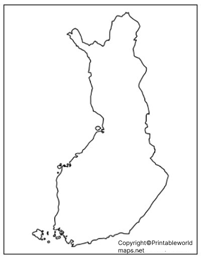
For the best results, print the map on A4 paper and leave enough space around the outline for handwritten labels.
Printable Map of Finland
A printable map of Finland is suitable for school assignments, geography lessons, revision activities, and independent study. Depending on the version, you can use the map to practise identifying the country’s shape, locating major cities, and understanding its position in Northern Europe.
Before printing, check the image dimensions and select a suitable page orientation in your printer settings. A PDF is often convenient for printing because it can preserve the intended page layout.
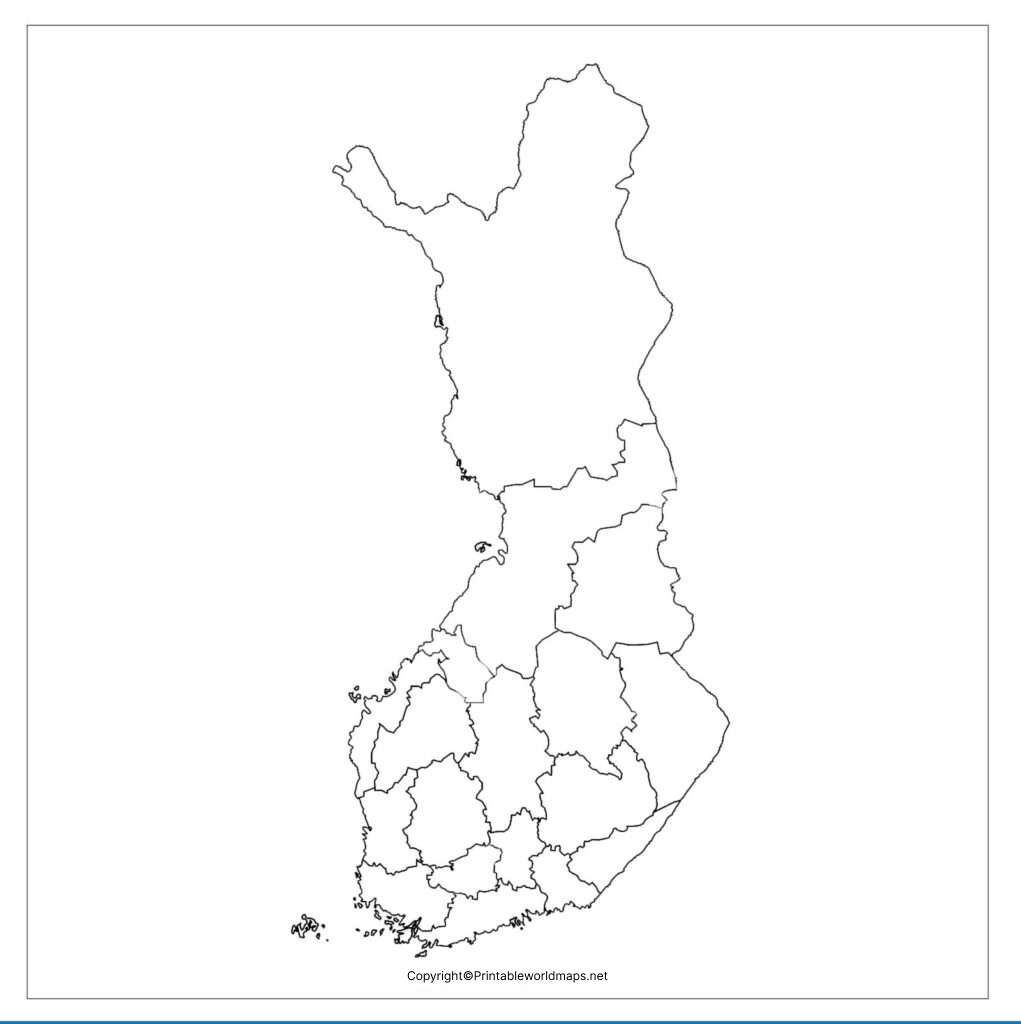
Use this map for educational activities and check the labels or boundaries against a reliable geographical source when accuracy is important.
Transparent PNG Finland Map
A transparent PNG Finland map can be useful when you want to place the country’s outline over a coloured background, presentation slide, or educational design. Unlike a standard image with a solid background, a genuinely transparent PNG allows the background behind transparent pixels to remain visible.
Transparency depends on how the image file was created. The term does not mean that geographical features themselves can be seen through the map.
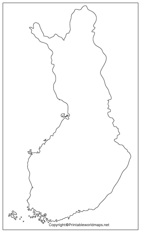
For digital projects, verify that the PNG has a transparent background before using it in your design software.
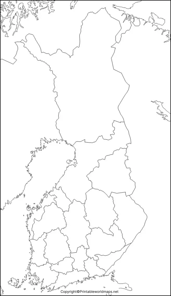
Map of Finland Practice Worksheet
A Finland map practice worksheet helps learners reinforce their understanding of the country’s geography through hands-on activities. Instead of simply reading geographical facts, students can use the worksheet to label locations and test their knowledge.
Try these activities:
- Mark Helsinki, Finland’s capital city.
- Label Sweden, Norway, and Russia on the appropriate sides of Finland.
- Identify Lapland in northern Finland.
- Add the Gulf of Finland and the Gulf of Bothnia where appropriate.
- Write three geographical facts about Finland below the map.
Teachers can use these exercises for classroom practice, homework, revision, or informal geography quizzes. Parents can also use the worksheet to introduce children to European countries.
How to Use a Blank Map of Finland
A blank map becomes more useful when you have a clear learning goal. Here are several ways to use these templates:
- For students: Practise locating Finland, naming its neighbouring countries, and identifying the capital.
- For teachers: Prepare geography worksheets, classroom quizzes, and map-labeling exercises.
- For parents: Help children learn about Northern Europe through simple activities.
- For presentations: Use a suitable PNG map in a geography presentation or educational project.
- For independent study: Compare the blank outline with an authoritative map to check locations and borders.
If you are using a map in a published report or commercial project, check the image’s licensing and attribution requirements before reuse.
Interesting Geographical Facts About Finland
Finland Is in Northern Europe
Finland is part of the Nordic region. It shares its eastern border with Russia and its western and northern land borders with Sweden and Norway, respectively. Estonia lies south of Finland across the Gulf of Finland, but it does not share a land border with Finland.
Helsinki Is the Capital
Helsinki is Finland’s capital and an important centre for government, business, education, and transport. It is located on the southern coast of the country.
Finland Has Thousands of Lakes
Finland is well known for its lakes and forests. Lake Saimaa is the country’s largest lake. The number of lakes reported for Finland depends on the minimum size used in the definition, so statistics should be interpreted with that distinction in mind.
Finnish and Swedish Are Official Languages
Finnish and Swedish are Finland’s national official languages. Sámi languages also have official status in certain contexts within the Sámi homeland in northern Finland.
Finland Is an EU Member
Finland joined the European Union in 1995 and uses the euro as its currency. These details can help students connect physical geography with political and economic geography.
Tips for Printing and Studying Finland Maps
For a clear printout, choose a suitable paper size and use the highest practical print quality. Check the preview before printing so that the map is not cropped.
For classroom use, consider printing two copies: one for labeling and another for checking answers. When using a digital PNG, check the image’s resolution and transparency. When using a PDF, confirm that the page orientation and scale are appropriate.
A blank map is an educational aid, not a substitute for a current authoritative boundary map. If your work requires precise administrative boundaries or official geographical information, compare the template with a trusted government or statistical source.
Frequently Asked Questions About the Blank Map of Finland
Where can I download a blank map of Finland?
You can download the PNG outline and PDF versions provided in this article. Choose the format that best suits your printing, study, or presentation needs.
Is the Finland blank map available as a PDF?
Yes. PDF links are provided for the outline map, printable map, transparent map, and practice worksheet. Open the relevant link to access the available file.
What is a blank map of Finland used for?
It can be used for geography homework, map-labeling exercises, classroom activities, presentations, and independent learning about Finland’s location and neighbouring countries.
Finland shares land borders with Sweden, Norway, and Russia. Estonia is located across the Gulf of Finland to the south.
What is the capital of Finland?
Helsinki is the capital of Finland. It is located on the country’s southern coast.
What languages are officially recognised in Finland?
Finnish and Swedish are the national official languages. Sámi languages have additional official status in certain areas and contexts.
What is the difference between a PNG map and a PDF map?
PNG is an image format commonly used for digital displays and designs. PDF is a document format that is often convenient for printing while maintaining a consistent page layout.
Can I use a blank Finland map for school projects?
Yes, these maps can support educational projects. Check the source’s usage terms before reproducing the files in publicly distributed or commercial materials.
Reference links
https://european-union.europa.eu/principles-countries-history/eu-countries/finland_en
https://stat.fi/en/topic/population-and-society
https://infofinland.fi/en/information-about-finland/key-facts-about-finland
https://op.europa.eu/webpub/eac/education-and-training-monitor/en/country-reports/finland.html

5 thoughts on “Printable Blank Map of Finland – Outline, Transparent, PNG Map”