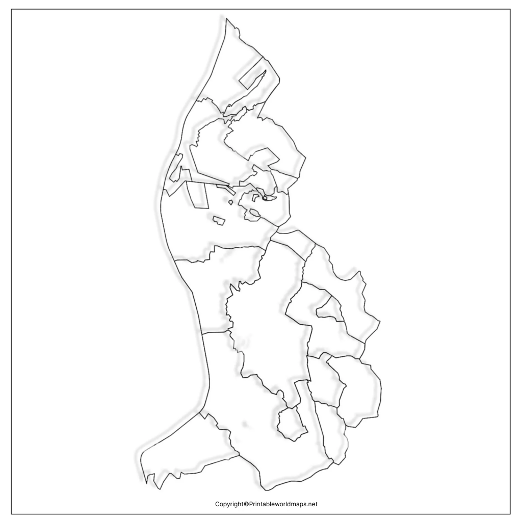
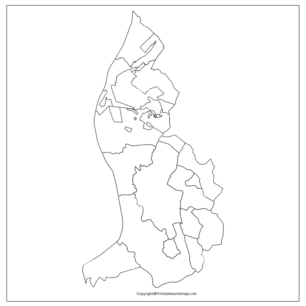
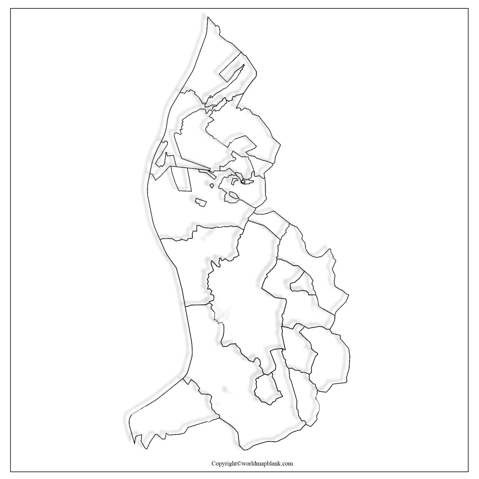
If the user is willing to learn the geography of Liechtenstein, then he or she should view the Blank Map of Liechtenstein. This map can be used as an interactive source to learn the complete geography of this country along with the skills of map drawing. Liechtenstein is a country situated in Europe and officially designated as the Principality of Liechtenstein. Situated in the southwest of Central Europe and in the Alps, this country is a German-speaking microstate. Liechtenstein has borders with Switzerland in the west and south.
- Labeled Map of Europe
- Labeled Map of Asia
- Labeled Map of Africa
- Labeled Map of South America
- Labeled Map of North America
- World Map With Continents
- Physical World Map
- Political World Map
- World Map with Oceans
- World Map Poster
- World Time Zone Map
- Labeled Map of World
- Blank Map of World
Contents
Blank Map of Liechtenstein – Outline
It has borders with Austria in the east and north. Liechtenstein is considered as the fourth smallest country in Europe with an area slightly more than 62 square miles or 160 square kilometers. The country has a population count of 38,749. Vaduz is the capital city of Liechtenstein and is the only two doubly land locked countries on the globe along with Uzbekistan. This country, economically, has one of the highest GDP per person, across the world. The country is Alpine and mountainous hence, making it as an important tourist destination for winter sports.

About sixty-percent of the country in the east is composed of rugged foothills of the Rhätikon Mountains, which is a part of the Central Alps. The Liechtenstein blank map outline is for those users who are planning to draw the full and accurate map of the country, but do not have the desired skill. With this blank Liechtenstein outline map, beginners can get started easily to learn drawing the map of the country. The map provides the outlined structure of the country to complete the task in a hassle-free way.
Printable Map of Liechtenstein

In this modern scenario of map viewing, the demand for printable map is high since, users do not have sufficient time to draw the map on their own or get one from the market. It is possible for the user to make the job easy by gaining access to a full printable map template of Liechtenstein, which is readily available.
Transparent PNG Blank Map of Liechtenstein

If the user intends to view Liechtenstein’s geographical objects in the transparent form instead of the solid form, he or she should have a PNG transparent map of the country. Here, it is possible for the user to have a transparent view of all the objects situated in the country. The transparent PNG Liechtenstein map, provides in-depth knowledge about the geographical details of the country.
Map of Liechtenstein for Practice Worksheet

If the user prefers to check his or her knowledge of the geography of Liechtenstein, then the user should possess the practice worksheet of the country’s map. This worksheet will assess his or her knowledge and assists in boosting the knowledge by strengthening the weak points. This worksheet can be used in schools for the students to learn the geography of Liechtenstein. They can practice regularly and repeatedly to work on these worksheets by answering the questions, and in gaining confidence to face any examination or classroom test.


