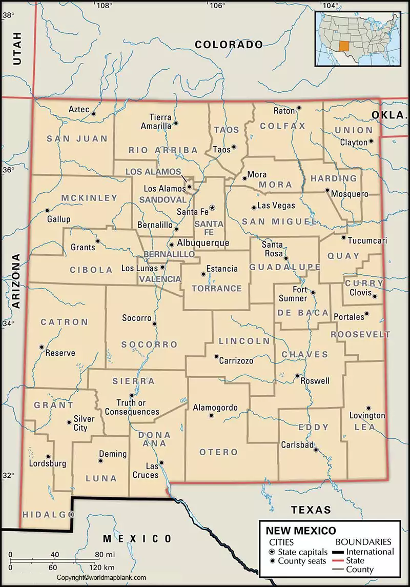
While viewing the Labeled Map of New Mexico, it is possible to understand the location of this important state, in the US. Besides, it also provides details about New Mexico with its boundaries, state capital Santa Fe and its location, populated and interstate highways, lakes, rivers and railroads.
- World map with continents
- Physical world map
- Political world map
- Labeled map of Asia
- Labeled map of Africa
- Labeled map of Europe
- Labeled map of South America
- World time zone map
- Labeled map of world
- Blank map of world
- Labeled map of North America
- Blank map of Asia
- World map with oceans
- World map poster
Contents
Labeled Map of Mexico
In the Mountain Division of the southwestern region of the US, this New Mexico is recognized as a landlocked state. Starting from clockwise direction, it can be seen that this state has borders with Colorado in the north. In the east, it has borders with states like Texas and Oklahoma. In the south, it has borders with the Mexican states of Sonora and Chihuahua. In the west, it borders with Arizona state. The land area covered by New Mexico is 121,590 square miles or 314,917 square kilometers.
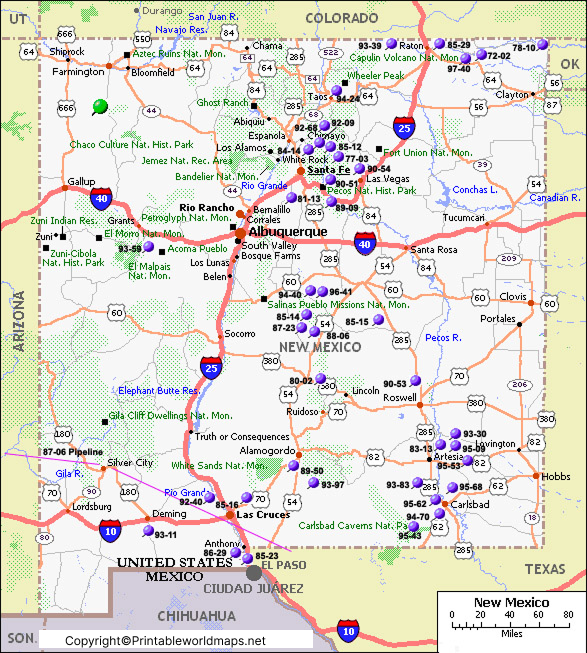
This area makes New Mexico as the fifth largest state, in the US. When compared, the area of New Mexico is equivalent to about the size of Poland. The major rivers of New Mexico are the Rio Grande or the Great River. This is the longest river in New Mexico. The other important river is the Pecos River. The recorded population count of New Mexico in 2019, is approximately two million inhabitants. Among the US states, New Mexico is considered as the least densely populated. Major religions, include Roman Catholics, Southern Baptist, Mormons and Methodists.
Printable Map of Mexico Labeled
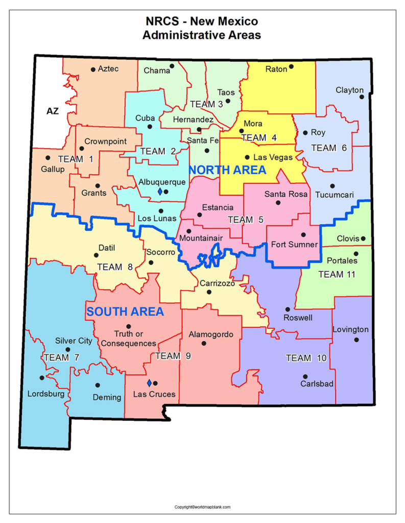
As a part of the labeled map of New Mexico with states, there are thirty-three counties in the state. New Mexico was admitted into the US as the forty-seventh state on 6th January in 1912.
Labeled Mexico Map with Cities
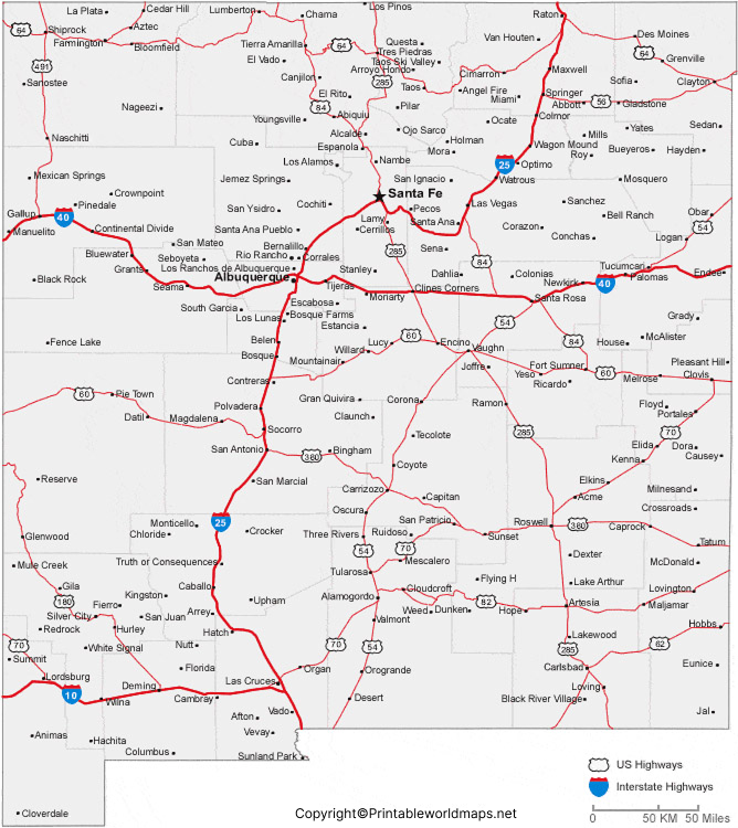
While viewing the labeled map of New Mexico with cities, it is possible to understand the location of all the cities and towns in New Mexico. Some of the large cities which have population count of more than 40,000, include Albuquerque with a population of 560,000, Las Cruces with a population of 103,000, Rio Rancho with a population of 98,000, Santa Fe with a population of 84,600, Roswell with a population of 47,600, Farmington with a population of 44,800, and South Valley with a population of 41,000. This city is considered as a portion of metropolitan area of Albuquerque.
Labeled Mexico Map with Capital
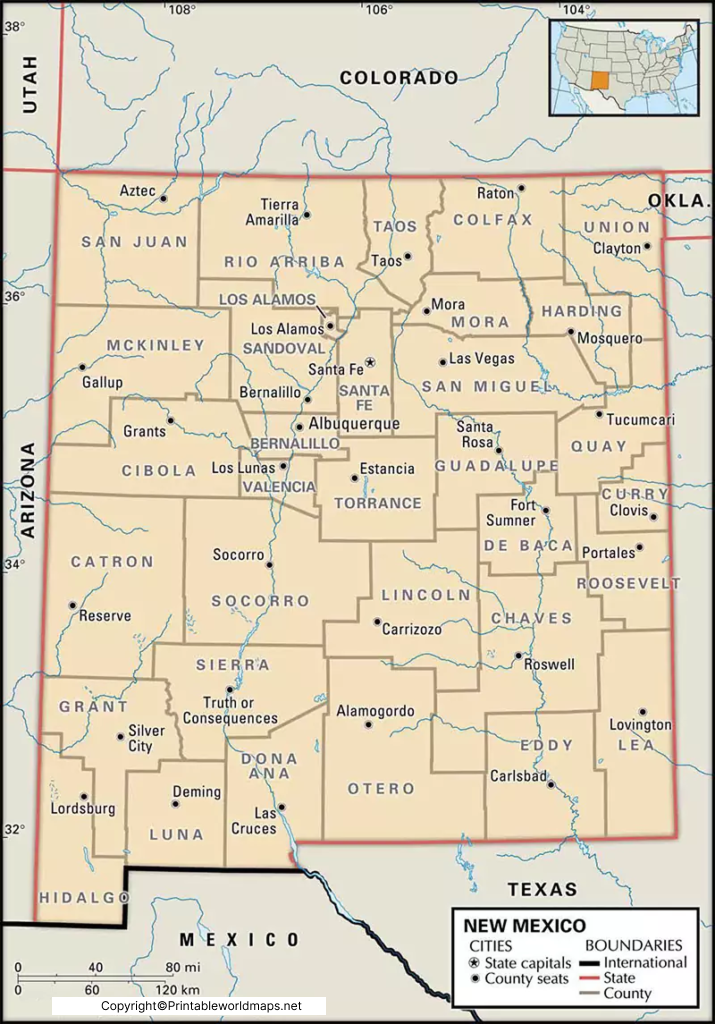
As a part of the labeled New Mexico with capital, the capital city of New Mexico state is Santa Fe. This city is situated in the foothills of Sangre de Cristo. The city is famous for creative art and Pueblo-style of architecture. The New Mexico History Museum displays the surrounding districts historic places and the Palace of the Governors. The most popular attraction of the city is the Sangre de Cristo Mountains. The city has dry weather, hence making it a popular resort during summer season. The nearby mountain attracts many tourists during winter to participate in skiing competitions. This city is full of cultural activities and is growing rapidly as a residential as well as a commercial center.

