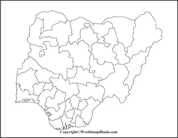
From the Blank Map of Nigeria, it is possible for the user to find out the geographical features of the country. Nigeria is a well-known country situated in West Africa. Officially, it is declared as the Federal Republic of Nigeria and is a sovereign country having border with Niger in the north.
- Labeled Map of Asia
- Labeled Map of Europe
- Labeled Map of Africa
- Labeled Map of South America
- Labeled Map of North America
- Australia Labeled Map
- World Map With Continents
- Physical World Map
- Political World Map
- World Map with Oceans
- World Map Poster
- World Time Zone Map
- Labeled Map of World
- Blank Map of World
Contents
Blank Map of Nigeria – Outline
It has borders with Benin in the west, Cameroon in the east, and Chad in the northeast. On the Gulf of Guinea in the Atlantic Ocean, Nigeria has its southern cost. Being a federal republic, it consists of thirty-six states. Nigeria’s capital, Abuja, is located in the Federal Capital Territory, and the most populous city is Lagos. With over 170 million population, Nigeria is considered as the populous black nation on the globe. In the world, this country is the seventh most populous nation; the official spoken language is English.

The land area occupied by the country is equivalent to 356,669 square miles. With climates varying from humid to arid condition, Nigeria has a diverse geography. The students and teachers look for Nigeria blank map outline, which is available on the web. For them such a map, can be considered as a great option for various teaching as well as study tasks in the class room. Nigeria blank map outline is the best option for students and teachers to download and print as many copies as they want. Using this outline map of Nigeria, it is possible for the students to draw the map from scratch as this outline map acts as the guiding tool.
Printable Map of Nigeria

On the web and in several formats, a printable map of Nigeria can be found after browsing the web. The student or the teacher, need to download and print this map in the desired sizes as required. Such maps do conform to good quality and high density as well. From this map, it is possible for the student to learn and acquire good knowledge about the geographical features of all the regions, situated in Nigeria. For the student to access it, the printable map of Nigeria is just a click away.
Transparent PNG Blank Map of Nigeria

The student will be able to find a transparent PNG map of Nigeria format, which can be printed after downloading it from the web. Such a map is considered as more attractive and used as a craft model. It helps the student to prepare an impressive Power Point Presentation as a part of homework assignment. Transparent PNG Nigeria maps can be accessed as graphically advanced versions and are found in the digital platform. They are considered as important documents that should meet the study requirements of a student.
Map of Nigeria for Practice Worksheet

Map of Nigeria for Practice Worksheet is available in various formats, which reflects well-designed puzzles, quiz questions and fill in the blank, format. Repeated working on such worksheets on a regular basis will boost their knowledge of Nigerian geography.


