
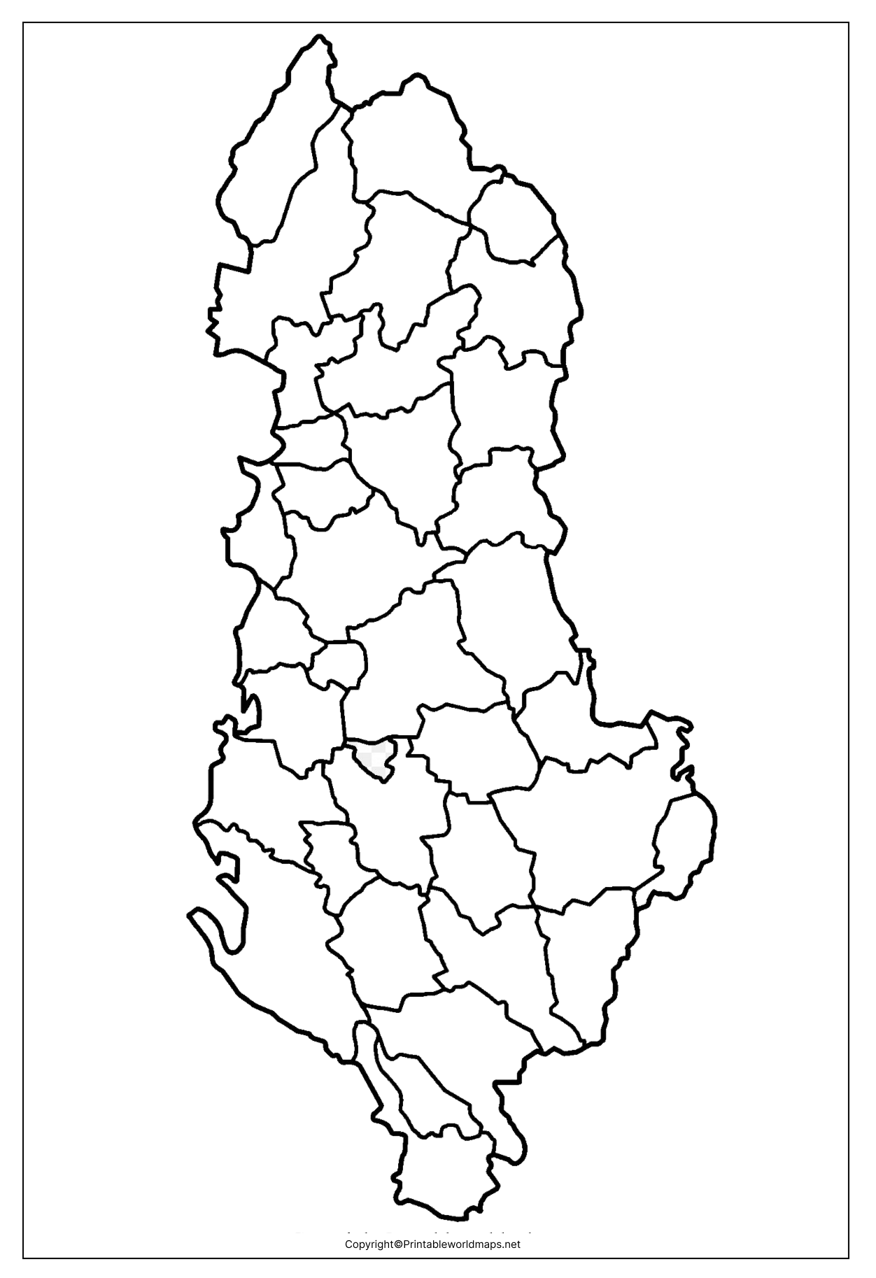
A Blank Map of Albania is one of the most useful educational resources for students, teachers, travelers, and geography enthusiasts who want to study Albania’s physical boundaries and political geography. Whether you’re preparing for an exam, completing a classroom assignment, creating presentations, or practicing map drawing, a printable Albania outline map makes learning faster and easier.
Our collection includes printable Blank Map of Albania, outline maps, transparent PNG maps, and practice worksheets that can be downloaded and printed for educational and personal use.
- Labeled Map of Asia
- Labeled Map of Europe
- Labeled Map of Africa
- Labeled Map of South America
- Labeled Map of North America
- Australia Labeled Map
- World Map With Continents
- Physical World Map
- Political World Map
- World Map with Oceans
- World Map Poster
- World Time Zone Map
- Labeled Map of World
- Blank Map of World
Contents
Blank Map of Albania – Outline
The Blank Map of Albania provides only the country’s outer boundary without labels, making it ideal for map practice, geography quizzes, classroom activities, and competitive exam preparation.
Albania is located in Southeastern Europe on the Balkan Peninsula. It has coastlines along the Adriatic Sea and the Ionian Sea. The country shares land borders with:
- Montenegro (northwest)
- Kosovo (northeast)
- North Macedonia (east)
- Greece (south)
Across the Adriatic Sea lies Italy.

Quick Facts About Albania
| Feature | Details |
|---|---|
| Official Name | Republic of Albania |
| Capital | Tirana |
| Continent | Europe |
| Region | Balkan Peninsula |
| Total Area | 28,748 km² |
| Population | Approximately 2.4 million (2025 estimate) |
| Official Language | Albanian |
| Currency | Albanian Lek (ALL) |
| Time Zone | CET (UTC+1) |
The Blank Map of Albania is especially useful for learning the country’s borders, neighboring nations, major cities, rivers, lakes, and mountain ranges before progressing to more advanced geography lessons.
Printable Map of Albania

A Printable Blank Map of Albania is ready to download and print in high-resolution PDF or image format. Teachers frequently use printable outline maps during geography classes, while students use them for homework, map labeling, and examination practice.
Benefits include:
- High-quality printable format
- Ideal for school assignments
- Easy map labeling practice
- Suitable for geography competitions
- Great for homeschooling
- Supports classroom activities
The printable version saves time and provides a clean outline for repeated practice.
Transparent PNG Albania Map

The Transparent PNG Blank Map of Albania is perfect for digital projects, presentations, graphic design, educational websites, and GIS-based learning.
Advantages include:
- Transparent background
- High-resolution quality
- Easy to edit
- Suitable for PowerPoint presentations
- Perfect for websites and educational blogs
- Compatible with Photoshop, Canva, Illustrator, and Figma
Students and designers can easily add labels, icons, colors, or customized boundaries without losing image quality.
Blank Map of Albania for Practice Worksheet
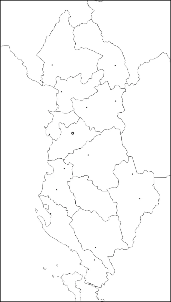
The Blank Map of Albania Practice Worksheet helps learners improve their geographical knowledge through repeated exercises.
These worksheets are commonly used to:
- Label neighboring countries
- Mark the capital city (Tirana)
- Identify rivers and lakes
- Practice mountain ranges
- Locate coastal regions
- Prepare for geography examinations
Teachers can print multiple copies for classroom assessments and quizzes.
Geographical Features of Albania
Learning becomes easier when using a Blank Map of Albania alongside geographical information.
Some major physical features include:
- Albanian Alps (Accursed Mountains)
- Korab Mountain (highest peak)
- Drin River
- Vjosa River
- Lake Shkodër
- Lake Ohrid
- Lake Prespa
- Adriatic Coast
- Ionian Coast
These landmarks are commonly included in geography assignments and map-labeling exercises.
Interesting Facts About Albania
- Albania has over 450 kilometers of coastline along the Adriatic and Ionian Seas.
- Tirana is the country’s largest city and capital.
- Around 70% of Albania consists of mountainous and hilly terrain.
- Albania is one of Europe’s biodiversity hotspots with numerous protected national parks.
- The country has three large transboundary lakes shared with neighboring countries.
- Tourism has grown significantly due to Albania’s beaches, mountains, and UNESCO World Heritage Sites.
Why Use Our Blank Map of Albania?
Our downloadable maps are designed for:
- Students
- Teachers
- Schools
- Colleges
- Universities
- Researchers
- Travelers
- Educational institutions
- Geography enthusiasts
Every map is available in high resolution for printing and digital learning.
Frequently Asked Questions (FAQs)
What is a Blank Map of Albania?
A Blank Map of Albania is an unlabeled outline map showing only the country’s boundaries, allowing users to practice geography and map labeling.
Can I print the Blank Map of Albania?
Yes. The printable version is available in high-quality formats suitable for A4 and Letter-size printing.
Is the PNG map transparent?
Yes. The transparent PNG version includes a clear background, making it ideal for presentations and graphic design.
Who can use these maps?
Students, teachers, researchers, travelers, and anyone interested in learning Albania’s geography.
Are these maps free to download?
Yes, they are intended for educational and personal use.
References
For additional geographical information about Albania, you can also visit:









