

A blank map of Myanmar is a useful resource for students, teachers, geography enthusiasts, and researchers who want to study the country’s location, borders, and physical features. Available in printable formats, an outline map can help with geography assignments, classroom activities, map-labeling exercises, and independent learning.
Myanmar, also historically known as Burma, is located in Southeast Asia. It shares land borders with Bangladesh, India, China, Laos, and Thailand. Its southern and southwestern coastline meets the Andaman Sea and the Bay of Bengal. The country’s varied landscape includes northern mountains, central river valleys, plateaus, coastal plains, and the Ayeyarwady River delta.
This page provides a selection of Myanmar map resources, including a blank outline map, a printable map, a transparent PNG, and a practice worksheet. Choose the format that best suits your educational or project needs.
- Labeled Map of Asia
- Labeled Map of Europe
- Labeled Map of Africa
- Labeled Map of South America
- Labeled Map of North America
- Australia Labeled Map
- World Map With Continents
- Physical World Map
- Political World Map
- World Map with Oceans
- World Map Poster
- World Time Zone Map
- Labeled Map of World
- Blank Map of World
Blank Map of Myanmar – Outline
A blank outline map of Myanmar shows the country’s general shape and external boundaries without requiring the user to rely on place labels. It is suitable for practicing country recognition, drawing geographical boundaries, and completing school assignments.
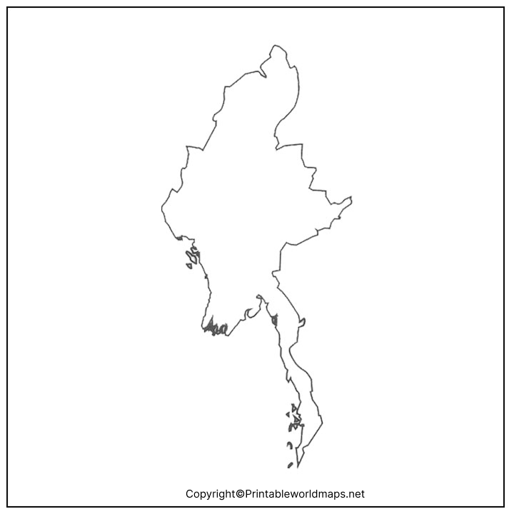
The PNG version is useful for digital worksheets, presentations, and documents. The PDF version is convenient for printing and classroom handouts. Check the downloaded file’s appearance and print settings before using it for a formal assignment.
Printable Map of Myanmar
A printable map of Myanmar can be used for classroom displays, geography notebooks, educational presentations, and map-based activities. Printing a map allows students to annotate locations, identify neighboring countries, and practice interpreting the country’s position within Southeast Asia.
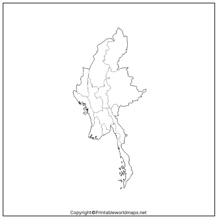
For best results, select a suitable paper size and use the print preview to ensure the map fits the page. If the map will be used for a geography test, confirm whether students need a blank outline or a map with labels.
Transparent PNG Myanmar Map
A transparent PNG Myanmar map can be useful when you need to place the country’s outline over a colored background, presentation slide, infographic, or educational design. Unlike a typical image with a solid background, a correctly prepared transparent PNG can display the map without an opaque rectangular backdrop.
PNG is generally suitable for designs that require transparency. PDF is often more convenient for printing. Because transparency depends on the actual file, check the PNG in an image editor or design application before using it in a project.
Blank Map of Myanmar for Practice Worksheet
A blank map of Myanmar worksheet gives learners an opportunity to test their geographical knowledge without relying on pre-printed labels. Teachers can use the map for individual exercises, quizzes, homework, and classroom revision.
Suggested activities for students
- Label Myanmar’s neighboring countries: Bangladesh, India, China, Laos, and Thailand.
- Mark Nay Pyi Taw, the national capital, and Yangon, the country’s largest city.
- Identify the Andaman Sea and the Bay of Bengal.
- Locate the Ayeyarwady River and its delta.
- Mark the mountainous areas in northern Myanmar and the Shan Plateau in the east.
Teachers can adapt these activities for different grade levels by changing the number of locations students must identify.
Myanmar Geography: Important Facts
Understanding a few basic geographical facts makes a blank map more useful for learning and revision.
- Official name: Republic of the Union of Myanmar.
- Region: Southeast Asia.
- Capital: Nay Pyi Taw.
- Largest city: Yangon.
- Land area: Approximately 676,577–676,578 square kilometres, depending on the reference source.
- Neighboring countries: Bangladesh, India, China, Laos, and Thailand.
- Major river system: Ayeyarwady (Irrawaddy).
- Important physical features: Northern mountain ranges, the Shan Plateau, central river valleys, coastal areas, and the Ayeyarwady delta.
- Coastal waters: The Andaman Sea and the Bay of Bengal.
The country’s geography is strongly influenced by mountain ranges along its northern, western, and eastern margins. The central river valleys and delta plains provide important agricultural areas. These features can be explored by combining a blank outline map with a physical map of Myanmar.
How to Use a Blank Map of Myanmar
A blank map can support more than simple country identification. Try these practical uses:
- School assignments: Draw boundaries, add labels, and answer questions about neighboring countries.
- Geography revision: Practice identifying the capital, major rivers, mountain regions, and coastal waters.
- Teaching resources: Prepare printable quizzes, worksheets, and classroom exercises.
- Presentations: Use a suitable PNG map in slides and educational documents.
- Map-drawing practice: Study the outline and redraw the country’s general shape from memory.
For accurate geographic work, use an authoritative reference map alongside the blank version. An outline map may not show internal administrative boundaries, settlements, elevations, or rivers unless these features are specifically included.
Frequently Asked Questions About the Blank Map of Myanmar
1. Where can I download a blank map of Myanmar?
You can download the blank outline map from the PNG or PDF links in the outline-map section above. The PNG is suitable for digital use, while the PDF is convenient for printing.
2. Is the blank map of Myanmar available in PDF format?
Yes. PDF versions are linked in the outline-map, printable-map, and practice-worksheet sections. Open the relevant link to access the file.
3. Can I use a Myanmar outline map for school assignments?
Yes. A blank outline map can help students practice identifying neighboring countries, locating the capital, and marking important geographical features. Follow your teacher’s requirements for labels and map details.
4. What is the difference between a blank map and a labeled map of Myanmar?
A blank map generally leaves place names off the map so users can fill them in. A labeled map includes some geographical names, such as cities, rivers, regions, or neighboring countries, depending on the map’s design.
5. What is a transparent PNG Myanmar map used for?
A transparent PNG can be placed over a colored background or incorporated into a presentation, infographic, or educational design without an opaque image background, provided the file contains genuine transparency.
6. What is the capital of Myanmar?
Nay Pyi Taw is the capital of Myanmar. Yangon is the country’s largest city. These are useful locations to identify when practicing with a blank map.
Myanmar shares land borders with Bangladesh, India, China, Laos, and Thailand. The Andaman Sea and the Bay of Bengal lie along its southern and southwestern coastal areas.
8. Which river is important for studying Myanmar’s geography?
The Ayeyarwady River, also known as the Irrawaddy River, is one of Myanmar’s major geographical features. Its river valley and delta are important features to locate on a physical map.
9. Can I print the map for classroom activities?
Yes. Choose the PDF version where available, check the page preview, and select a suitable paper size. For worksheets, print the map at a size that leaves enough room for students to write labels.
10. Where can I find reliable geographical information about Myanmar?
The Government of Myanmar’s geography page and the United Nations Statistics Division provide useful country information. For detailed boundaries, elevation, or administrative geography, consult an authoritative atlas or official mapping source.
Reference links
https://myanmar.gov.mm/en/geography
https://data.un.org/legacy/en/iso/mm.html
https://www.mofa.gov.mm/about-myanmar/introduction-to-myanmar
