

A printable blank map of Bolivia is a useful resource for students, teachers, researchers, and geography enthusiasts who want to study the country’s location, boundaries, departments, and physical features. This collection includes outline maps, printable maps, practice worksheets, and a transparent PNG map for educational projects.
Bolivia is a landlocked country in central South America, bordered by Brazil, Paraguay, Argentina, Chile, and Peru. Its geography includes the Andes Mountains, the Altiplano plateau, valleys, tropical lowlands, and parts of the Amazon Basin. These contrasting landscapes make Bolivia an interesting subject for geography lessons and map-based activities.
Choose the map format that suits your needs, download the available image or PDF, and print it for classroom learning, homework, presentations, or personal study.
Blank Map of Bolivia – Outline
A blank map of Bolivia outline shows the country’s external shape and boundaries without the need for detailed labels. It is useful for learning the country’s position in South America, identifying neighboring countries, and practicing basic map-reading skills.
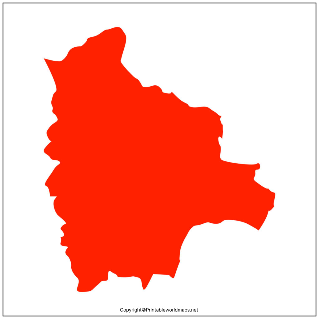
Use the outline to mark Bolivia’s five neighboring countries: Brazil to the north and east, Paraguay to the southeast, Argentina to the south, Chile to the southwest, and Peru to the northwest. You can also use it to practice drawing and labeling the country’s borders.
Printable Map of Bolivia
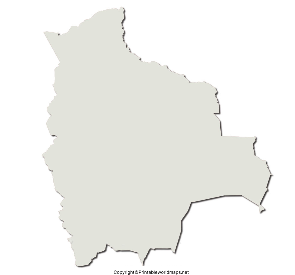
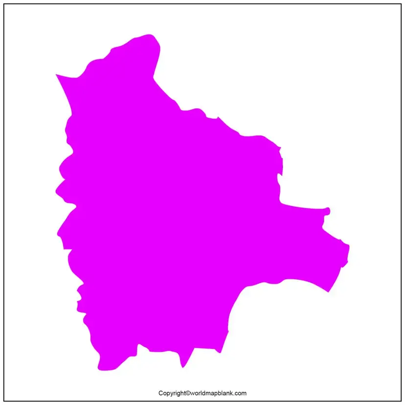
A printable map of Bolivia is suitable for school assignments, geography notebooks, presentations, and independent learning. Depending on the map provided, it can be used to study the country’s overall shape and location or as a base for adding geographical labels.
Before printing, check the map’s labels, scale, and level of detail to ensure they match your assignment. A simple outline works well for drawing exercises, while a labeled reference map is better for checking answers.
Blank Map of Bolivia for Practice Worksheet
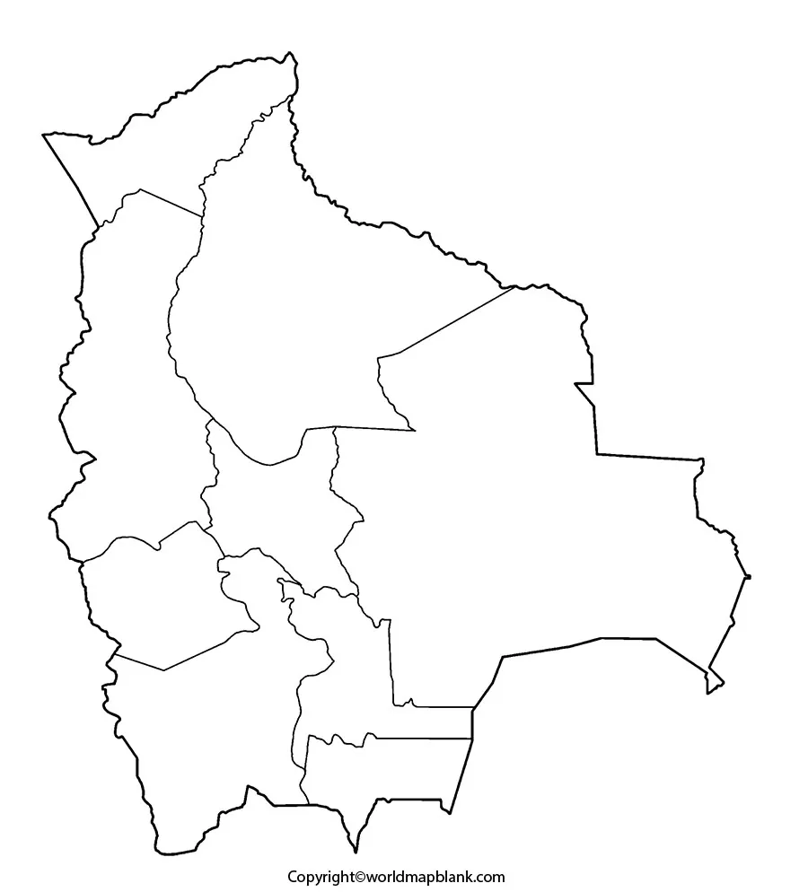
A blank map of Bolivia worksheet helps students test their geographical knowledge without relying on labels. Teachers can use it for classroom exercises, homework, revision, and geography quizzes.
Activities to try with a blank Bolivia map
- Identify neighboring countries: Label Brazil, Paraguay, Argentina, Chile, and Peru.
- Learn the departments: Use a suitable administrative map as a reference to label Bolivia’s nine departments.
- Mark major geographical features: Locate the Andes, the Altiplano, and Lake Titicaca using a trusted reference map.
- Practice map orientation: Add a north arrow and identify Bolivia’s approximate position in South America.
- Test your knowledge: Complete the map without looking at your reference, then check your answers.
For the best learning results, use an outline map for the activity and a reliable labeled map to verify the answers.
Transparent PNG Bolivia Map
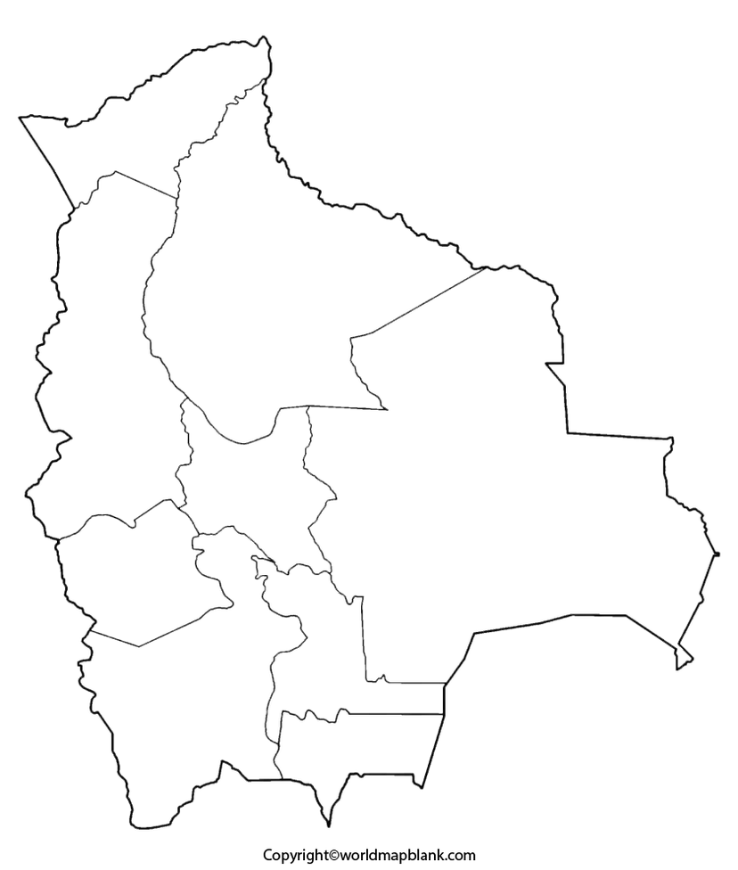
A transparent PNG Bolivia map can be useful for presentations, educational posters, worksheets, and digital designs. Unlike a standard JPEG, a PNG file can support a transparent background when transparency is included in the actual image file.
You can place a transparent map over a colored background, combine it with text, or add it to a geography presentation. Before using the image, check that its background is genuinely transparent and that its resolution is sufficient for your intended purpose.
A PNG file is particularly useful for digital editing, while a PDF is often more convenient for printing and sharing. The appearance and quality of each file depend on the original image and how it was exported.
Bolivia Geography: Important Facts to Know
Understanding a few basic facts makes a blank map more useful for learning.
| Geographic fact | Information |
|---|---|
| Continent | South America |
| Geographic position | Central South America |
| Total area | Approximately 1,098,581 km² |
| Neighboring countries | Brazil, Paraguay, Argentina, Chile, and Peru |
| Number of departments | 9 |
| Constitutional capital | Sucre |
| Seat of government | La Paz |
| Major physical regions | Andes, Altiplano, valleys, and eastern lowlands |
| Coastal status | Landlocked |
The geographical area and regional information above are based on Bolivia’s National Institute of Statistics. The distinction between Sucre and La Paz is important: Sucre is the constitutional capital, while La Paz is the seat of government.
How to Print a Blank Map of Bolivia
Follow these simple steps to prepare a map for schoolwork or personal use.
- Select the outline map, worksheet, or transparent map that matches your purpose.
- Open the image or PDF using the relevant link above.
- Download the file to your device.
- Open the downloaded file and choose the print option.
- Select A4 or Letter paper, depending on your printer and requirements.
- Choose portrait or landscape orientation according to the map’s shape.
- Use the print preview to check that the entire map fits on the page.
For worksheets, use a clear, black-and-white outline with enough space for students to write labels. For presentations, choose a sufficiently high-resolution image and check whether the map requires attribution or has any reuse restrictions.
Frequently Asked Questions About Printable Blank Maps of Bolivia
1. Where can I download a printable blank map of Bolivia?
You can use the outline maps, printable maps, and practice worksheet links on this page. Choose a PNG or JPG image for quick viewing, or select an available PDF when you want a print-ready document.
2. Can I download a blank map of Bolivia in PDF format?
Yes. PDF downloads are provided for several of the maps listed above. Open the relevant PDF link and save the file to your device before printing.
3. What is a blank map of Bolivia used for?
A blank map can help students learn country boundaries, identify neighboring countries, practice labeling departments, and complete geography assignments. Teachers can also use blank maps for quizzes and revision exercises.
4. What is the difference between an outline map and a transparent PNG map?
An outline map emphasizes the country’s external shape and boundaries. A transparent PNG map may have a background that allows it to be layered over other content in a digital design. Transparency depends on the actual image file.
5. Which countries border Bolivia?
Bolivia shares land borders with five countries: Brazil, Paraguay, Argentina, Chile, and Peru.
6. How many departments does Bolivia have?
Bolivia has nine departments. To label each department correctly, use an administrative map from a reliable geographical or government source.
7. What is the capital of Bolivia?
Sucre is Bolivia’s constitutional capital. La Paz is the seat of government. Both names may appear in geographical references, but they describe different roles.
8. Is Bolivia a landlocked country?
Yes. Bolivia has no coastline and is surrounded by neighboring countries. Its geographical position can be studied using a blank map of South America.
9. Is a PNG or PDF better for printing a Bolivia map?
A PDF is often convenient for printing because it can preserve page layout. PNG and JPG images are useful for viewing and inserting into documents. Print quality depends on the file’s resolution and dimensions.
10. Can I use a blank Bolivia map for school projects?
Yes, blank maps are useful for educational projects, but you should check the source’s usage terms before redistributing or publishing the map. Include attribution when required.
Reference links
https://www.ine.gob.bo/index.php/bolivia/aspectos-geograficos/
https://www.comunidadandina.org/quienes-somos/paises-miembros/bolivia/
https://embajadadebolivia.es/informacion-general/
https://www.naturalearthdata.com/
https://developers.google.com/search/docs/fundamentals/seo-starter-guide
https://developers.google.com/search/docs/appearance/google-images
