

A blank map of Turkey is a useful geography resource for students, teachers, homeschoolers, and anyone who needs an outline map for learning, revision, or map-based projects. This page provides downloadable Turkey maps in PNG and PDF formats, including a blank outline map, a printable map, a transparent PNG, and a practice worksheet.
Download the map that best suits your needs, print it for classroom activities, or use the transparent PNG in a presentation or digital project. You can add country labels, cities, surrounding seas, mountain ranges, rivers, and other geographical features.
- Blank Map of Armenia
- Blank Map of Ethiopia
- Blank Map of Egypt
- Blank Map of France
- World map with continents
- Blank map of World
- Labeled map of North America
- labeled map of Asia
- Physical map of World
- Labeled map of South America
- Labeled map of Africa
- Blank Map of Egypt
- Blank Map of Ethiopia
- Labeled map of Europe
- World map poster
- World map with oceans
- World time zone map
- Blank Map of Azerbaijan
- Labeled Map of World
- Blank Map of Sudan
- Blank map of Asia
- Political Map of World
- Blank Map of Finland
- Blank Map of Fiji
Blank Map of Turkey – Outline
Turkey, officially the Republic of Türkiye, is a transcontinental country located mainly in Western Asia, with a smaller portion in Southeastern Europe. Most of its territory lies on the Anatolian Peninsula, while its European territory is known as Eastern Thrace.
A blank map of Turkey helps learners understand the country’s shape, location, neighboring countries, coastlines, and important geographical features. It is suitable for geography homework, classroom worksheets, map-labeling exercises, and independent study.
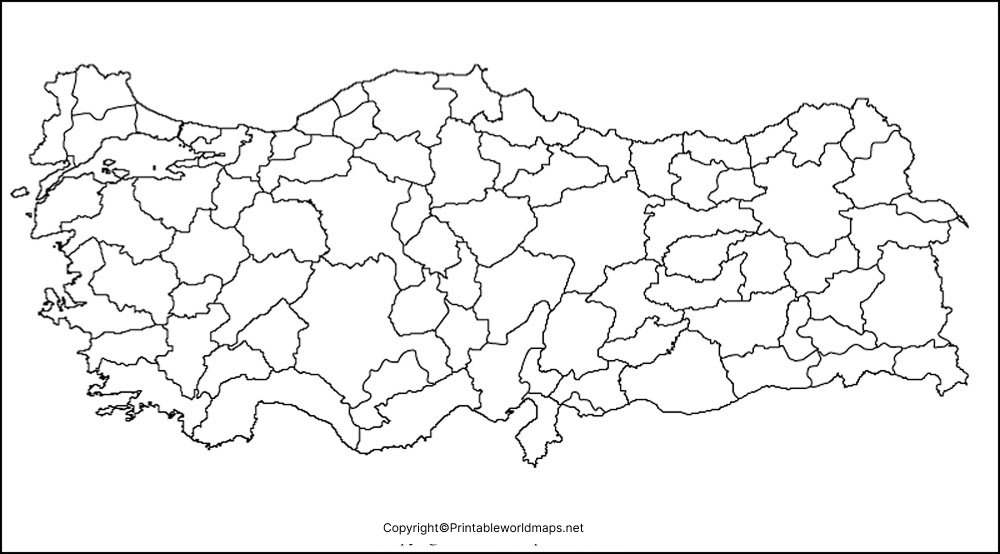
How to Use a Blank Map of Turkey
Use the outline map to practice the following geography skills:
- Label Ankara, the capital, and Istanbul, the country’s largest city.
- Identify Turkey’s eight neighboring countries.
- Mark the Black Sea, Aegean Sea, Mediterranean Sea, and Sea of Marmara.
- Locate the Bosporus and Dardanelles straits.
- Mark major rivers and mountain ranges.
- Identify the Anatolian Plateau and other physical features.
- Create geography quizzes, revision sheets, and classroom assignments.
- Add a map key, compass directions, and labels.
A blank map is particularly helpful when students try to recall locations independently before checking their answers against an atlas or a reliable reference map.
Printable Map of Turkey
A printable map of Turkey can be used for school assignments, geography lessons, revision activities, and educational presentations. Choose the PNG file for flexible digital use or the PDF file for convenient printing.
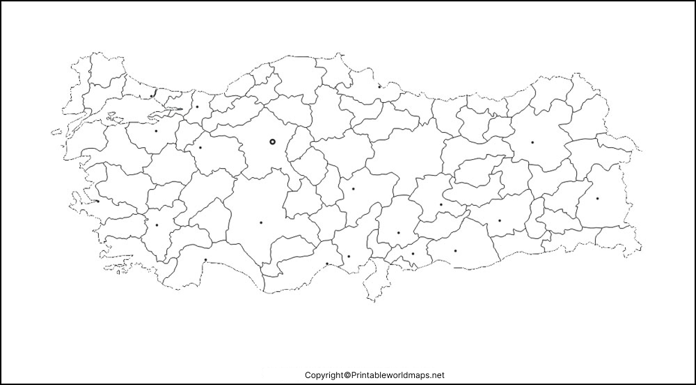
Printable Turkey Map for Students
Students can use the printable map to complete activities such as:
- Labeling countries and international borders.
- Locating important cities.
- Identifying seas, straits, and coastlines.
- Practicing physical geography.
- Coloring geographic regions.
- Preparing map-based presentations.
- Reviewing place names before a geography test.
For a useful learning exercise, ask students to complete the map from memory first and then compare their work with an atlas. This provides a simple way to identify which locations need more practice.
Transparent PNG Blank Map of Turkey
A transparent PNG blank map of Turkey is useful for digital projects where the outline needs to sit over a colored background, presentation slide, worksheet, or infographic.
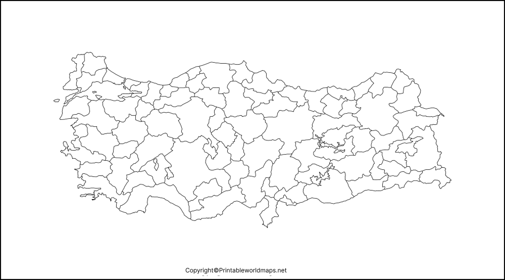
Possible uses include:
- PowerPoint and classroom presentations.
- Digital geography worksheets.
- Educational posters and infographics.
- School research projects.
- Website illustrations.
- Map-labeling exercises.
- Custom maps with colors, symbols, and annotations.
PNG tip: A PNG file can support transparency, but not every PNG image actually has a transparent background. Check the downloaded file before using it over another background.
Map of Turkey for Practice Worksheet
The Turkey practice worksheet is designed for learners who want to label geographical features and test their knowledge of the country.
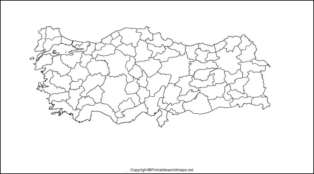
Blank Map of Turkey: Practice Questions
Use the worksheet to complete these ten tasks:
- Mark Ankara, the capital of Turkey.
- Locate Istanbul.
- Label the countries that share a land border with Turkey.
- Mark the Black Sea.
- Identify the Aegean Sea and Mediterranean Sea.
- Locate the Sea of Marmara.
- Mark the Bosporus Strait.
- Add the Taurus and Pontic mountain ranges.
- Trace the Kızılırmak River.
- Add a map legend and compass directions.
After completing the worksheet, compare the results with a reliable atlas or reference map. Teachers can also use the activity for individual assessments, group challenges, and geography revision.
Turkey Geography Facts
The following facts provide useful context for anyone studying a blank map of Turkey.
| Geography fact | Information |
|---|---|
| Official name | Republic of Türkiye |
| Common English name | Turkey |
| Capital | Ankara |
| Largest city | Istanbul |
| Geographic position | Mainly Western Asia, partly Southeastern Europe |
| Asian territory | Anatolia |
| European territory | Eastern Thrace |
| Land-bordering countries | Greece, Bulgaria, Georgia, Armenia, Azerbaijan, Iran, Iraq, and Syria |
| Northern coast | Black Sea |
| Western coast | Aegean Sea |
| Southern coast | Mediterranean Sea |
| Inland-connected sea | Sea of Marmara |
| Major straits | Bosporus and Dardanelles |
Turkey’s location makes it a useful case study for understanding the relationship between Europe and Asia. Its European and Asian territories are separated by the Turkish Straits system, which includes the Bosporus, the Sea of Marmara, and the Dardanelles.
Major Physical Features to Study on a Turkey Map
A blank outline map can also be used to learn about Turkey’s physical geography. Use an atlas to locate these features and add them to your worksheet.
- Anatolian Plateau: An extensive elevated area covering much of central Turkey.
- Pontic Mountains: Mountain ranges along northern Anatolia, near the Black Sea.
- Taurus Mountains: A major mountain system in southern Turkey.
- Mount Ararat: A prominent volcanic mountain in eastern Turkey.
- Kızılırmak River: A major river that flows through central Turkey and reaches the Black Sea.
- Euphrates River: One of the major rivers originating in eastern Turkey.
- Tigris River: Another major river with headwaters in eastern Turkey.
The Euphrates and Tigris flow from the highlands of eastern Turkey into the broader river systems of Syria and Iraq. Their locations are useful for understanding regional drainage patterns and the geography of Southwest Asia.
Turkey’s Location Between Europe and Asia
Turkey is an important example of a transcontinental country because its territory extends across both Europe and Asia.
The Bosporus connects the Black Sea with the Sea of Marmara. The Dardanelles connects the Sea of Marmara with the Aegean Sea, which is part of the Mediterranean region. Together, these waterways form the Turkish Straits system.
On a blank map of Turkey, students can trace these waterways and examine how the country’s location connects different seas and regions.
This topic can help learners explore:
- Continental boundaries.
- Regional and physical geography.
- Maritime routes.
- Trade and transportation connections.
- The relationship between landforms and settlement.
- The location of Turkey within Southwest Asia and Southeastern Europe.
For a more detailed explanation, consult the Turkish Ministry of Foreign Affairs’ information on the Turkish Straits in the reference links below.
Turkey Map Activities for Teachers
Teachers can adapt a printable blank map of Turkey for different grade levels and learning objectives.
Activity 1: Neighboring Countries
Ask students to label all eight countries that share a land border with Turkey. Have them identify the countries to the west, northeast, east, and southeast.
Activity 2: Seas and Straits
Students should mark the Black Sea, Sea of Marmara, Aegean Sea, Mediterranean Sea, Bosporus, and Dardanelles.
Activity 3: Major Cities
Ask students to locate Ankara, Istanbul, Izmir, Bursa, and Antalya using an atlas. Students can then discuss the relative positions of these cities.
Activity 4: Physical Geography
Have students add the Anatolian Plateau, Taurus Mountains, Pontic Mountains, Mount Ararat, and Kızılırmak River.
Activity 5: Map Coloring and Legend
Assign different colors or symbols to landforms, rivers, seas, and cities. Ask students to create a map legend explaining each symbol.
Activity 6: Europe and Asia
Ask students to identify Eastern Thrace and Anatolia, then mark the Turkish Straits. This helps them understand the country’s transcontinental location.
These activities complement established geography education approaches that use maps and spatial thinking to help students understand and communicate geographic information.
Blank Map of Turkey for Digital Projects
The transparent PNG version can be incorporated into digital materials when the image’s background and resolution suit the project.
For example, you can use it to create:
- Geography presentations.
- Digital worksheets.
- Educational infographics.
- School posters.
- Classroom slides.
- Research project illustrations.
- Custom maps with labels and symbols.
For projects that require accurate political boundaries, detailed physical features, or current geographic data, compare the outline with a trusted atlas or authoritative mapping resource. A simplified blank map may not display every feature or boundary detail.
How to Print the Blank Map of Turkey
Follow these steps to print your map:
- Choose the PNG or PDF version from the download links above.
- Open the downloaded file on your computer or device.
- Select the print command.
- Choose your paper size, such as A4 or Letter, depending on your needs.
- Select portrait or landscape orientation to suit the map.
- Choose a fit-to-page setting if necessary to avoid cropping.
- Print the map and add your labels or notes.
PDF is often the more convenient option for printing because it preserves the document layout. PNG is useful when you want to resize, annotate, or insert the image into another document. Print quality will depend on the resolution of the original image and the printer settings.
Why Use a Blank Map for Geography Practice?
A blank map encourages learners to recall locations and relationships rather than relying only on pre-printed labels.
It can support practice in:
- Spatial awareness.
- Country and border identification.
- Map reading.
- Geographic vocabulary.
- Direction and relative location.
- Visual organization.
- Map interpretation.
- Independent revision.
National Geographic’s geography education resources explain how maps and other geographic representations help learners understand and communicate information about places and spatial relationships. See the reference links below for further educational guidance.
Frequently Asked Questions About the Blank Map of Turkey
1. Where can I download a blank map of Turkey?
You can download the blank outline map in PNG or PDF format using the links in the first section of this page. The PNG is useful for digital projects, while the PDF is convenient for printing.
2. Is the blank map of Turkey available as a PDF?
Yes. A PDF version of the Turkey outline map is linked above. PDF is a practical choice for printing worksheets and classroom activities.
3. Can I download a transparent PNG map of Turkey?
Yes. The transparent PNG version is linked in the transparent map section. Check that the downloaded image actually has a transparent background before placing it over a colored background.
4. What is the capital of Turkey?
Ankara is the capital of Turkey, officially known as the Republic of Türkiye.
5. What is the largest city in Turkey?
Istanbul is Turkey’s largest city. It extends across the Bosporus, with areas on both the European and Asian sides.
Turkey shares land borders with eight countries: Greece, Bulgaria, Georgia, Armenia, Azerbaijan, Iran, Iraq, and Syria. Its border with Azerbaijan is through the Nakhchivan exclave.
7. Which seas surround Turkey?
Turkey has coastlines along the Black Sea, Aegean Sea, and Mediterranean Sea. The Sea of Marmara lies between the Bosporus and Dardanelles.
8. What is the difference between a blank outline map and a labeled map?
A blank outline map provides the basic shape and boundary outline without most place labels. A labeled map identifies selected features, such as cities, countries, seas, or rivers. Blank maps are useful for practice, while labeled maps are useful for checking answers and reference.
9. How can students use a Turkey map worksheet?
Students can label neighboring countries, mark Ankara and Istanbul, locate surrounding seas, identify major landforms, and create a map legend. They can check their answers against an atlas after completing the worksheet.
10. Why is Turkey considered a transcontinental country?
Turkey is considered transcontinental because most of its territory lies in Asia, while a smaller part lies in southeastern Europe. The Bosporus, Sea of Marmara, and Dardanelles form the waterway system separating Anatolia from Eastern Thrace.
Reference links
https://www.mfa.gov.tr/the-turkish-straits.en.mfa
https://education.nationalgeographic.org/resource/geography-standard-1
https://education.nationalgeographic.org/resource/map-skills-for-students
