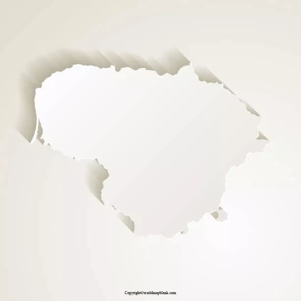
On the web, it is possible to find a Blank Map of Lithuania, which is easily printable. From this map, the user will be able to learn about the country. This map reveals the perfect location of Lithuania while visualizing it. Using a personal printer, the user can get it printed or by accessing the printers from the market.
- Labeled Map of Asia
- Labeled Map of Europe
- Labeled Map of Africa
- Labeled Map of South America
- Labeled Map of North America
- World Map With Continents
- Physical World Map
- Political World Map
- World Map with Oceans
- World Map Poster
- World Time Zone Map
- Labeled Map of World
- Blank Map of World
Contents
Blank Map of Lithuania – Outline
Lithuania blank map outline is considered as useful for assessing the knowledge of geography and can be adopted for coloring as well. The country Lithuania is situated in the Baltic region of Europe. This country is officially designated as the Republic of Lithuania, and has borders with Latvia in the north, with Belarus in the east and south, with Poland in the south, and has borders with Kaliningrad Oblast in the southwest.

Lithuania is located to the east of Denmark and to the southeast of Sweden. The current population of Lithuania is 2,700,303, recorded as on Wednesday, January 27, 2021.Vilnius is the largest and the capital city. The official language spoken is Lithuanian. The country’s principal natural resource is agricultural and it is a country of lakes, rivers and streams, many forests, and gently rolling hills. It is possible for teachers to print unlimited outline copies of the Lithuania. Using such maps will help the teacher to test the student on the tasks of location and labeling. In the classroom, teachers can ask the students to draw the map of the country indicating terrain elements or symbols. There are several types of blank maps of Lithuania. The task of drawing the map may be simple involving only the outline of the country or covering details.
Printable Map of Lithuania

A printable map of Lithuania can be easily printed from the web. The printable map of the country Lithuania, reveals the user all the locations of cities and states, including bordering countries. It is also possible for the user to get finer details on some particular region. The printable map of the Lithuania is clear and accurate and can be adopted in schools to assess the knowledge of the students.
Transparent PNG Blank Map of Lithuania

Directly from the web, the user can download the transparent PNG Lithuania, free of charge. This map can be used effectively, to perform the work of high-quality visual design, preparation of PowerPoint Presentation, interactive and graphic artwork, and video presentation. Through a transparent view of the PNG Lithuania map, the user will be able to gain complete knowledge about the country’s geographical features and objects.
Map of Lithuania for Practice Worksheet

By using a map of Lithuania for practice worksheet, the students and researchers can learn the geographical details of the country. It can be seen that this worksheet will help the users to work on it repeatedly, by answering the questions in a given time frame. By doing so, they will be able to prepare for any examination or perform tasks assigned to them in their classroom.


