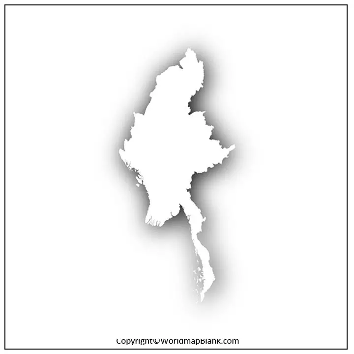
The Blank Map of Myanmar reveals to the user all the details about the geographical features, including the established border surrounding the country. This is a South Asian nation recognized as Burma and also called, Golden Land. Along the Bay of Bengal, Myanmar has a long coastline that extends along the Gulf of Mottama and the Andaman Sea, in the south. In the north and northeast, it has borders with China, in the east with Laos, Bangladesh, and the Indian states of Nagaland and Manipur; in the northeast, it has borders with Mizoram.
- Labeled Map of Asia
- Labeled Map of Europe
- Labeled Map of Africa
- Labeled Map of South America
- Labeled Map of North America
- Australia Labeled Map
- World Map With Continents
- Physical World Map
- Political World Map
- World Map with Oceans
- World Map Poster
- World Time Zone Map
- Labeled Map of World
- Blank Map of World
Contents
Blank Map of Myanmar – Outline
The land area covered by the country is 676,578 square kilometers, which is equivalent to almost twice the size of Germany or slightly smaller than that of the US state of Texas. The estimated population of Myanmar is fifty-four million, in 2021, and Rangoon is the largest city. Naypyidaw is the capital city of Myanmar, which is a well-planned city located in the central region of the country. While referring to the outline map of Myanmar, it can be observed that it is situated in Southeast Asia.
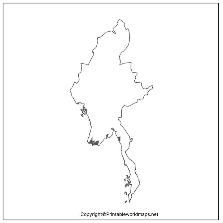
The map can be downloaded, printed, and used for the purpose of education as well as research studies that includes map pointing activities. Those scholars and individual users who plan to draw the geographical structure of Myanmar, do prefer to refer a Myanmar blank map outline, which is certainly a very helpful source. Myanmar blank map outline is considered to be a basic guide enabling the user to draw the whole map of the country in a hassle-free way. In the map template, it is possible to follow the guiding outlines and draw the entire map of the country.
Printable Map of Myanmar
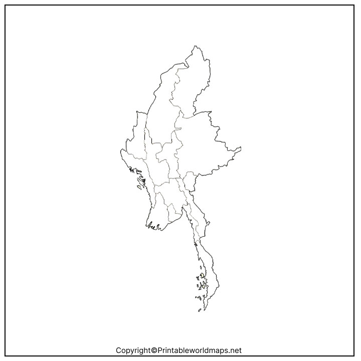
In today’s digital world, digital maps have almost completely replaced the physical maps for several reasons. Hence, if the user is looking for the map of Myanmar, then the user need not go to the bookstore to purchase the typical physical map, instead he or she can simply get the readily available digital printable version of map though Google’s search.
Transparent PNG Myanmar Map
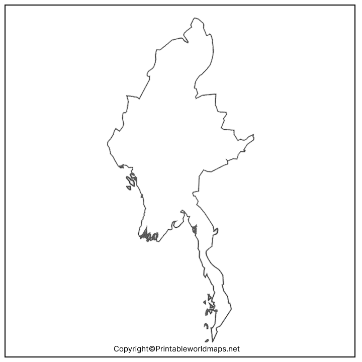
If the user is a scholar or a student studying the geography of Myanmar, and further plan to study the detailed geography of the country, he or she should check a transparent PNG Myanmar map format from the web. Such maps are especially designed for those scholars and explorers who have interest in visualizing the transparent versions of Myanmar.
Blank Map of Myanmar for Practice Worksheet
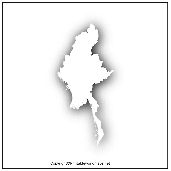
If the user has completed learning the detailed geography of Myanmar, but intends to check the accuracy of Myanmar’s geographical knowledge, he or she should plan to work on practice worksheet map of Myanmar. This map for practice worksheet can be used by the user to check his or her knowledge by answering the in-depth questions related to physical structure of the country. It is possible for the user to refer to this worksheet as a learning scholar or an explorer to boost his or her geographical knowledge.

