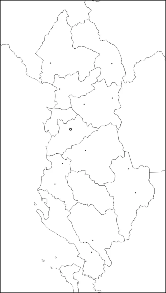
Today, several students and scholars search for a Blank Map of Albania as it is considered to be a helpful document to learn and understand the geographical details of Albania. From this map, users cannot only learn the skills of drawing the map manually, with great accuracy, but also complete their homework assignment, efficiently.
- Labeled Map of Asia
- Labeled Map of Europe
- Labeled Map of Africa
- Labeled Map of South America
- Labeled Map of North America
- Australia Labeled Map
- World Map With Continents
- Physical World Map
- Political World Map
- World Map with Oceans
- World Map Poster
- World Time Zone Map
- Labeled Map of World
- Blank Map of World
Contents
Blank Map of Albania – Outline
As a part of the blank map of Albania, the country’s profile reveals that it is on the Balkan Peninsula in southeastern Europe with a well-defined coastline at the Ionian and the Adriatic Sea, in the west. In the north, it is bordered by Montenegro, in the northeast by Serbia or Kosovo, in the east it is bordered by Macedonia, and in the southeast by Greece. With Italy and Croatia, Albania has maritime borders. Albania covers a land area of 28,748 square kilometers, and the country is said to be a bit smaller than that of Belgium or the US state of Maryland.

The current population of Albania is 2,875,649 people as of Monday, March 8, 2021. The population of Albania is found to be equivalent to 0.04% of the total global population. Any user who plans to learn and draw the map of Albania should refer to an Albania blank map outline for the first time, and then start drawing the blank outlined map of the country. This outlined map provides the guidelines of the outer boundaries of the island, and hence, a beginner can easily draw an accurate map of the country.
Printable Map of Albania

Referring to a printable map of Albania is always ideal for the user who has no intention to draw the map of Albania on his or her own, which may really need some effort. The most obvious reason is that a printable map of Albania can save the time for the user, as the map is found to be readily available on the web that can be used for the desired purpose. The use of a printable map of Albania will help the user to learn the details of the geography of the country, which includes its political borders, other specific regions and landmarks.
Transparent PNG Albania Map

The transparent PNG Albania map format, will enable the user for a closer view of the country. For this purpose, all that the user has to do is to gain access to a transparent PNG version of the map of Albania. From this map, it is possible to have maximum clarity of even small objects, situated on the surface of the country. In general, it is suggested that the user should own a transparent PNG map version of Albania that enables to explore the geographical features of the country with utmost clarity.
Blank Map of Albania for Practice Worksheet

It is possible for the user to get a printable worksheet template of Albania map, which will help him or her to practice the geography of the country by repeatedly answering questions listed in the work sheet in a given time frame.


