

Looking for a printable blank world map for school, homework, geography practice, or classroom activities? Download a free blank world map in PDF format and use it to identify continents, mark countries, locate oceans, and practise important geographical features.
This collection includes several types of blank world maps, including simple world outlines, maps with international borders, country maps, and worksheets for learning activities. Select the map that best matches your requirements and use the available PDF links to print it.
Blank world maps are useful for teachers, students, parents, and homeschooling families. They provide a simple way to practise map-reading skills, test geographical knowledge, and create customised geography assignments.
Choose from the maps below to find a suitable version for your next lesson or study session.
Printable Blank World Map PDF Downloads
Choose a map based on the information you want to learn or teach. A simple outline is ideal for identifying continents, while a map with country borders is more suitable for practising country locations.
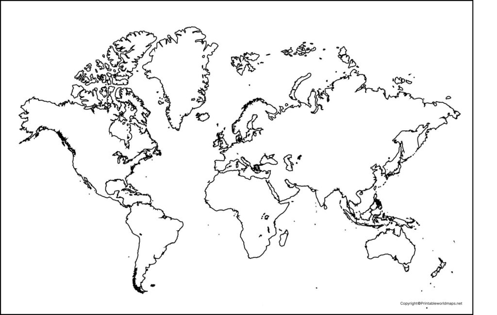
Blank Outline Map of the World
Use this blank outline world map to practise identifying the major landmasses without the distraction of country labels. Students can write continent names, label oceans, colour regions, and mark important geographical features.
Download as PDF (A4)
Download as PDF (A5)
Activity idea: Write the names of the seven continents, identify the oceans, and use different colours to distinguish the continents.
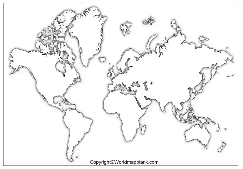
Unlabeled Blank World Map
An unlabeled world map is helpful for geography revision and self-assessment. It allows learners to recall locations from memory rather than relying on printed names.

Download as PDF (A4)
Download as PDF (A5)
Activity idea: Label the continents, add the names of the oceans, and mark the Equator if the map’s projection and layout allow you to identify it accurately.
Blank World Map with Countries
A blank world map with country borders is useful for learning political geography. Students can practise locating countries, comparing their positions, and identifying neighbouring countries.

Download as PDF (A4)
Download as PDF (A5)
Activity idea: Locate India, China, Brazil, Canada, Australia, and other countries. Then identify their continents and nearby countries.
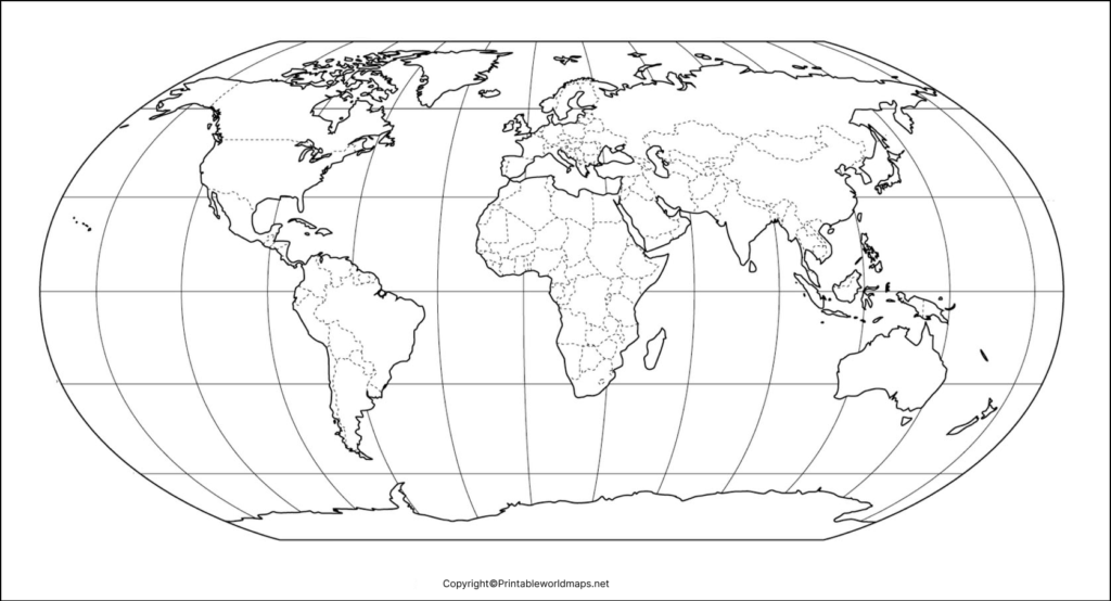
Blank World Map to Fill in
A blank world map to fill in provides space for independent learning. Use it to record country names, major cities, mountain ranges, rivers, oceans, or other features relevant to your lesson.
Download as PDF (A4)
Download as PDF (A5)
Activity idea: Ask learners to mark selected countries, draw a route between two cities, or label major physical features using a separate reference atlas.
Blank Map of the World with Borders
A world map with international borders is suitable for country-identification exercises, classroom quizzes, and political geography revision. The boundaries make it easier to practise recognising individual countries and their relative positions.

Download as PDF (A4)
Download as PDF (A5)
Activity idea: Select a region and ask students to identify its countries, capitals, or neighbouring nations.
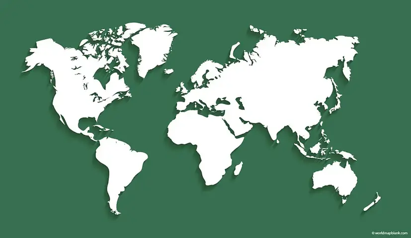
Coloured Blank World Map
A coloured world map can help beginners distinguish continents and understand the broad arrangement of landmasses. Some versions also show country borders, making them useful as visual references alongside an unlabeled worksheet.

Download as PDF (A4)
Download as PDF (A5)
Activity idea: Use the coloured map as a reference and ask learners to reproduce the same continental divisions on a blank outline map.
Download as PDF (A4)
Download as PDF (A5)

Download as PDF (A4)
Download as PDF (A5)


Download as PDF (A4)
Download as PDF (A5)
You can use a map of world for practice worksheet for regular practice sessions. It is a perfect option for students, parents and teachers to gain a complete understanding of the world map and learn or teach about geography and everything that can be outlined on world maps.
Printable Blank World Map Worksheet
A blank world map worksheet can be used for independent practice, revision, classroom tests, or homeschooling. Teachers can adapt the activity to suit different age groups and levels of geographical knowledge.

Download as PDF (A4)
Download as PDF (A5)
Activity idea: Create a short quiz that asks students to label continents, identify oceans, mark selected countries, or locate the Equator.
Download as PDF (A4)
Download as PDF (A5)
How to Print a Blank World Map
Follow these steps to print your chosen blank world map:
- Select the map that matches your learning objective.
- Open the corresponding PDF download link.
- Choose A4 or A5 paper when the PDF supports the selected size.
- In the print settings, select the appropriate paper size and portrait or landscape orientation.
- Use the fit-to-page option if necessary to keep the map within the printable area.
- Preview the page before printing to check that country borders and coastlines are clear.
For classroom worksheets, ordinary paper is usually sufficient. If students will colour the map or use it repeatedly, slightly thicker paper may be more practical.
How to Use a Blank World Map for Geography Practice
A printable blank world map can support several kinds of learning activities.
Learn the seven continents
Practise locating Asia, Africa, North America, South America, Antarctica, Europe, and Australia. The seven-continent model is widely used in geography education, although continental models can differ between educational traditions.
Identify the world’s oceans
Use a blank map to locate the Pacific, Atlantic, Indian, Southern, and Arctic oceans. Ask learners to label each ocean and identify the continents bordering it.
Practise country locations
Use a map with country borders to identify countries and compare their geographical positions. Check uncertain names and boundaries against a reliable reference source.
Mark important physical features
Depending on the map’s detail, add mountain ranges, major rivers, deserts, lakes, or other physical features. A simple outline map may not show enough detail for precise placement, so use a suitable atlas as a reference.
Improve map-reading skills
Ask questions about relative location and direction. For example, identify which continent lies south of Europe or which ocean separates Africa from Australia. These exercises encourage spatial thinking rather than simple memorisation.
Blank World Map Activities for Students and Teachers
Try these activities to make geography practice more engaging:
- Continent challenge: Label all seven continents without looking at a reference.
- Ocean identification: Write the five ocean names in their approximate locations.
- Country quiz: Mark selected countries and check the answers against a reliable atlas.
- Physical geography exercise: Add selected rivers, deserts, and mountain ranges.
- Regional colouring: Colour each continent differently and create a simple legend.
- Map memory test: Study a labelled map, put it away, and reproduce as many labels as possible on a blank copy.
- Classroom competition: Give students a fixed time to identify a list of countries or geographical features.
Teachers can adjust the number of questions and the difficulty of the task to suit the learners’ age and existing knowledge.
Understanding World Maps and Map Projections
A world map represents Earth’s curved surface on a flat page. Because Earth is approximately spherical, every flat world map uses a projection that affects how some combination of area, shape, distance, or direction is represented.
For example, the Mercator projection preserves local angles and is useful for certain navigation purposes, but it greatly enlarges the apparent size of regions near the poles. A world map should therefore be interpreted according to its projection and intended use.
When using a blank world map for education, remember that:
- The apparent size of a country on a flat map may not match its true area relative to other countries.
- Country boundaries and place names can change over time.
- A simplified outline may omit small islands or detailed coastal features.
- Political borders and territorial claims can be disputed, so maps may represent different conventions.
Frequently Asked Questions About Printable Blank World Maps
1. Where can I download a printable blank world map for free?
You can use the PDF links provided in this article to access the available blank world map versions. Choose the map that best suits your needs, then open its download link and check the PDF before printing.
2. What is a blank world map used for?
A blank world map is used for geography lessons, country identification, continent and ocean labelling, classroom quizzes, homeschooling, and independent revision.
3. What is the difference between an outline world map and a map with countries?
An outline world map generally shows the shapes of the major landmasses without internal country boundaries. A map with countries includes political borders, making it more suitable for practising country locations.
4. Can I print a blank world map on A4 paper?
Yes, if the selected PDF supports A4 paper. Choose A4 in your printer settings and use the fit-to-page option if necessary. Always check the PDF’s page dimensions before printing.
5. Is an A5 blank world map suitable for students?
An A5 map can be convenient for compact worksheets and individual practice. However, smaller maps may make country names, borders, and small islands harder to mark, so A4 may be more suitable for detailed exercises.
6. How can I use a blank world map to learn geography?
Start by labelling the seven continents and five oceans. Next, practise locating countries and major physical features. Compare your completed map with a reliable labelled map to check your answers.
7. Does every blank world map show country borders?
No. Some maps show only the outer outlines of landmasses, while others include international borders. Select the version that matches your learning objective.
8. Why do world maps show different sizes and shapes for countries?
World maps use different projections to represent Earth’s curved surface on a flat page. These projections involve trade-offs in area, shape, distance, or direction, so the appearance of countries can vary between maps.
9. Which reference should I use to check country names and borders?
Use a reputable atlas, an official national mapping agency, or relevant United Nations resources. Keep in mind that international boundaries and territorial claims can be disputed.
Reference links
https://www.un.org/en/about-us/member-states
https://education.nationalgeographic.org/resource/Continent
https://education.nationalgeographic.org/resource/geography-standard-2
https://education.nationalgeographic.org/resource/cardinal-directions-and-maps
https://education.nationalgeographic.org/resource/exploring-maps-and-models-of-earth
More Free Maps for Download
Here are a few links to other printable world maps, continent maps and country maps downloadable as PDF files. If the map you need is not listed, please use the search feature on top of this page. If you still cannot find what you are looking for, please send us a message. Tell us exactly what kind of map you need, and we will try to create it for you.
World Maps
- Labeled World Map
- Time Zone World Map
- World Map with Continents
- Physical World Map
- Political World Map
Continent Maps
- Labeled Map of South America
- Blank Map of Asia
- Labeled Map of Europe
- Labeled Map of Africa
- Blank Map of South America
- Blank Map of Europe

7 thoughts on “Printable Blank World Map – World Map Blank [PDF]”