


A Blank Map of Belarus is a useful resource for students, teachers, geography enthusiasts, and researchers who want to study the country’s location, outline, neighboring countries, and administrative regions. A printable outline map can help learners practice labeling places, identifying borders, and completing geography assignments.
Belarus is a landlocked country in Eastern Europe, with Minsk as its capital. It shares land borders with Latvia, Lithuania, Poland, Russia, and Ukraine. Using a blank map of Belarus makes it easier to understand its position in Europe and practice important geographical facts.
This page provides several map resources, including an outline map, a printable map, a practice worksheet, and a transparent PNG map. You can use the PNG images digitally or download the available PDF files for printing and classroom activities.
Blank Map of Belarus – Outline
A blank outline map of Belarus shows the country’s external shape without requiring learners to rely on labels or other geographical information. It is suitable for geography exercises, map-labeling activities, school projects, and independent study.

Use the outline map to practice the following tasks:
- Trace and remember the shape of Belarus.
- Identify its five neighboring countries.
- Mark Minsk, the national capital.
- Add major rivers, lakes, and administrative regions when using a suitable reference map.
- Complete geography worksheets and classroom exercises.
Printable Map of Belarus
A printable map of Belarus provides a convenient reference for learning about the country’s geography. Depending on the version, a map may show the national boundary, administrative divisions, cities, rivers, or other geographical features.
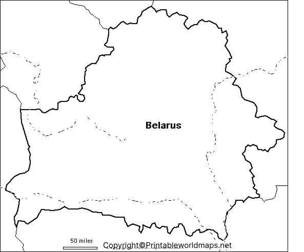
Students can use a printable map to prepare for geography tests, complete school assignments, and compare Belarus with neighboring countries. Teachers can also use it to create labeling exercises or classroom quizzes.
For the best results, check the map’s labels and legend before using it in a report or educational project.
Blank Map of Belarus for Practice Worksheet
A blank map of Belarus practice worksheet helps students test their geographical knowledge without depending on preprinted labels. It can be used for homework, classroom assessments, revision, and independent learning.
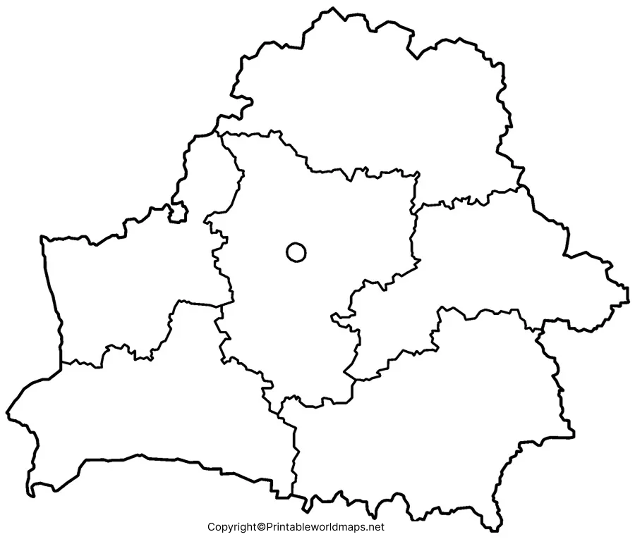
Suggested worksheet activities include:
- Write the names of Belarus’s neighboring countries.
- Mark Minsk on the map.
- Label major rivers using an atlas or reference map.
- Identify the country’s position in Eastern Europe.
- Compare your completed worksheet with a labeled reference map.
For teachers, the worksheet can be adapted into a short assessment by asking students to label selected geographical features and explain their locations.
Transparent PNG Belarus Map
A transparent PNG Belarus map can be useful when creating presentations, educational worksheets, infographics, or digital geography projects. A transparent background allows the map image to be placed over a different background without displaying a solid rectangular canvas, provided that the PNG file actually contains transparency.
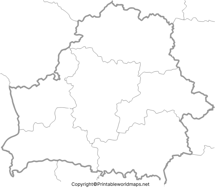
Before using a transparent map, check whether it shows only the country’s outline or includes additional geographical details. An outline image does not automatically show elevation, terrain, or every physical feature.
Geography Facts to Know Before Using a Blank Map of Belarus
Learning a few basic facts can make a blank map exercise more meaningful. Use these details as a reference when completing your worksheet.
- Location: Belarus is in Eastern Europe.
- Capital city: Minsk.
- Neighboring countries: Latvia, Lithuania, Poland, Russia, and Ukraine.
- Total area: Approximately 207,600 square kilometres.
- Coastline: Belarus is landlocked and has no coastline.
- Landscape: Much of the country is relatively flat, with extensive wetlands and forested areas.
- Lakes: Belarus is commonly described in geographical reference sources as having around 11,000 lakes.
- Major river system: The Dnieper, known locally as the Dnyapro, is one of the country’s important rivers.
These facts are useful for school assignments and map-labeling practice. For detailed administrative boundaries, place names, and current cartographic information, consult an authoritative geographical reference.
How to Use and Print a Belarus Map
Follow these simple steps to get the most from the map resources on this page:
- Choose the outline map, printable map, practice worksheet, or transparent PNG according to your needs.
- Open the PNG image or download the corresponding PDF.
- Print the file on paper suitable for your classroom or project.
- Use a pencil to label countries, cities, rivers, or other features required by your assignment.
- Compare your answers with a reliable labeled reference map.
For a worksheet, choose a clear outline with enough space for handwritten labels. For a digital presentation, use a transparent PNG only after checking its background and image quality.
Frequently Asked Questions About the Blank Map of Belarus
1. Where is Belarus located?
Belarus is a landlocked country in Eastern Europe. It borders Latvia, Lithuania, Poland, Russia, and Ukraine.
2. What is the capital of Belarus?
Minsk is the capital and largest city of Belarus.
3. Can I download a blank map of Belarus for free?
The PNG and PDF files linked on this page are available for viewing or downloading. Check the website’s usage terms before redistributing the files or using them commercially.
4. What is a blank outline map of Belarus used for?
It is useful for school assignments, geography quizzes, map-labeling exercises, classroom activities, and learning the country’s shape and location.
5. What is the difference between a PNG map and a PDF map?
A PNG is an image format suitable for viewing and digital projects. A PDF is generally convenient for printing and preserving a document’s page layout. Actual image quality depends on the file provided.
6. Which countries border Belarus?
Belarus shares land borders with Latvia, Lithuania, Poland, Russia, and Ukraine.
7. Does Belarus have a coastline?
No. Belarus is landlocked, meaning it does not have a coastline along an ocean or sea.
8. How can students practice labeling a Belarus map?
Students can mark Minsk, label the five neighboring countries, and add rivers or administrative regions using a reliable labeled map as a reference.
Reference links
https://www.cia.gov/resources/map/belarus
