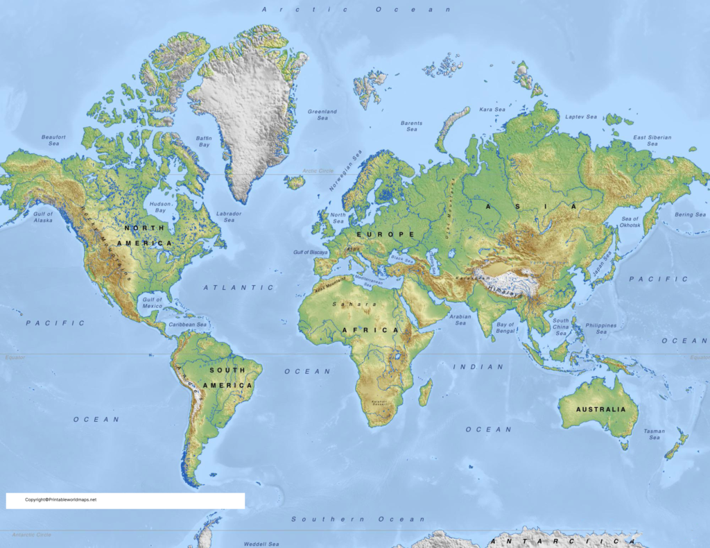
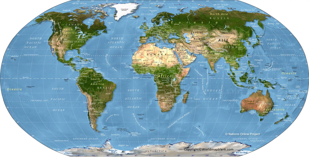
Free printable Physical World Map is available free of cost, and no charges are required in order to use such a map by the user. The advantage of viewing such a physical map is that the countries are well located and labeled in the map. Besides, the user will also come to know which country is located in which part of the map as well. Users can have this map in PDF format and for this purpose, he or she can click on the PDF option or it can be saved by selecting the PDF option available from the list. After saving the PDF map, it becomes hassle-free for the user to transmit the map from one device to another in a simple way, without incurring any changes in the map.
- World Map with Continents
- Labeled Map of South America
- Labeled Map of Africa
- Labeled Map of Europe
- Blank Map of Asia
- World Time Zone Map
- Political World Map
- Blank Map of World
- World Map with oceans
- World Map Poster
- Labeled Map of World
- Labeled Map of Europe
Contents
Printable Physical World Map

If the user makes an attempt to save this printable physical world map in other formats, then there is every chance that changes may occur in the design of the map, which cannot be corrected. Hence, gaining access to a free printable physical map of the world is considered as the best option, enabling the user to save the files of the map in a secured manner.
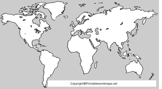
Blank Physical World Map – Outline

In the case of a blank physical world map outline, it can be seen that the user will not find the description details of the countries, but can get all the details of the partitioning of the countries and boundaries. In such a situation, the user is required to write down the name of the country by himself. This type of blank physical world map outline is considered as a very good option whenever the user is required to practice the learning of a physical map, and check his or her knowledge, properly.
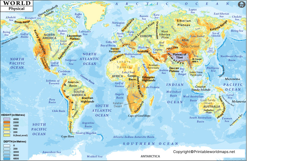
Physical Map of World Labeled

Students who are interested in studying geography will find this labeled physical map of the world useful. Mostly, their interest is focused on exploring and gaining detailed knowledge with regard to oceans, glaciers, mountains, seas, places and different locations. Hence, with the assistance of this labeled physical map of the world, they will be able to gain all the details as per their desire. Such a physical map of the world Labeled, which provides the students with a vast range of description details of all the countries and places. Besides, the map must be clear and should be large in size.

This will help the students to identify and understand the country, including the names or places mentioned on the labeled physical map of the world. The physical map of the world Labeled, which is shown with the help of different colors accompanied by the description of different places. This helps the students to differentiate easily the boundaries of countries on the physical map of the world. Besides, they will find a tabulated list of items below the map. This reveals the description of all the places and countries with special symbols of labeling technique used in the physical map of the world.


