

If you are looking for a Blank Map of Liechtenstein, you’ve come to the right place. This printable map helps students, teachers, travelers, researchers, and geography enthusiasts explore the country’s boundaries, neighboring nations, and physical geography. Whether you’re studying European countries, preparing for an exam, or creating educational materials, this blank outline map is an excellent learning resource.
Liechtenstein is officially known as the Principality of Liechtenstein, a small German-speaking country located in Central Europe. It shares borders with Switzerland to the west and south and Austria to the east and north. Despite its small size, Liechtenstein is recognized for its beautiful Alpine scenery, strong economy, and high quality of life.
- Labeled Map of Europe
- Labeled Map of Asia
- Labeled Map of Africa
- Labeled Map of South America
- Labeled Map of North America
- World Map With Continents
- Physical World Map
- Political World Map
- World Map with Oceans
- World Map Poster
- World Time Zone Map
- Labeled Map of World
- Blank Map of World
Blank Map of Liechtenstein – Outline
The Blank Map of Liechtenstein Outline provides only the country’s outer boundary, making it ideal for map drawing practice, labeling exercises, classroom assignments, and geography projects.
Students can use this outline map to:
- Draw the national boundary
- Mark Vaduz (capital city)
- Label neighboring countries
- Identify mountain ranges
- Practice European geography
- Improve cartography skills
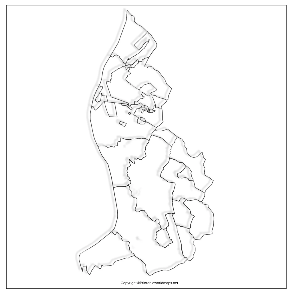
Liechtenstein covers approximately 160 square kilometers (62 square miles), making it the sixth-smallest independent country in the world and one of Europe’s smallest nations.
Around 39,000 people live in Liechtenstein, with Vaduz serving as the capital and Schaan being the largest municipality.
Printable Map of Liechtenstein
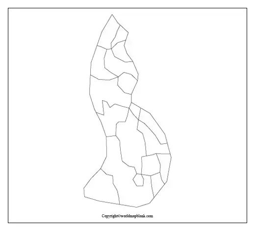
Our Printable Blank Map of Liechtenstein is available in high-quality PDF and image formats for easy printing.
This printable version is suitable for:
- School assignments
- Classroom activities
- Geography quizzes
- Homeschool education
- Travel planning
- Map labeling practice
Simply download, print, and start learning without needing to draw the country’s outline from scratch.
Transparent PNG Blank Map of Liechtenstein
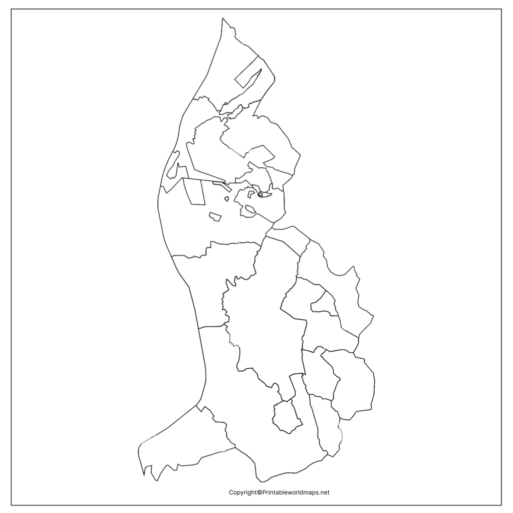
The Transparent PNG Blank Map of Liechtenstein allows users to overlay the country’s outline onto presentations, educational materials, graphic designs, GIS projects, and websites.
The transparent version is especially useful for:
- Teachers creating worksheets
- Students preparing reports
- Digital presentations
- Educational videos
- Geography blogs
- Research projects
Because the background is transparent, it can easily be placed over any colored background or map.
Map of Liechtenstein for Practice Worksheet
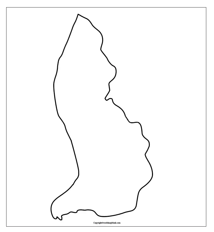
Our Blank Map of Liechtenstein Practice Worksheet helps learners test and improve their geographical knowledge.
Teachers can use these worksheets for:
- Classroom assessments
- Homework
- Map quizzes
- Competitive exam preparation
- Geography competitions
Students can repeatedly practice identifying important geographical locations until they become confident.
Geography of Liechtenstein
Understanding the geography becomes easier with a Blank Map of Liechtenstein.
Some important geographical facts include:
- Official Name: Principality of Liechtenstein
- Continent: Europe
- Region: Central Europe
- Capital: Vaduz
- Largest Municipality: Schaan
- Area: 160 km²
- Population: Approximately 39,000
- Official Language: German
- Currency: Swiss Franc (CHF)
- Highest Mountain: Grauspitz (2,599 m)
- Major River: Rhine River
- Neighboring Countries: Switzerland and Austria
Interesting Facts About Liechtenstein
Here are some fascinating facts that make Liechtenstein unique:
- It is one of the smallest countries in Europe.
- Liechtenstein is a doubly landlocked country, meaning every country surrounding it is also landlocked.
- It has one of the world’s highest GDPs per capita.
- The country has no airport; visitors usually arrive through Switzerland or Austria.
- Liechtenstein is famous for winter sports, hiking, castles, and Alpine landscapes.
- The Rhine River forms much of its western border.
Uses of a Blank Map of Liechtenstein
A Blank Map of Liechtenstein can be used for:
- Geography education
- School worksheets
- University assignments
- Exam preparation
- Map drawing practice
- Educational presentations
- Travel planning
- Research projects
- Classroom quizzes
- Homeschool learning
Frequently Asked Questions (FAQs)
Where can I download a Blank Map of Liechtenstein?
You can download printable PDF, PNG, and outline versions directly from this page for educational and personal use.
What is a Blank Map of Liechtenstein used for?
It is mainly used for geography learning, map labeling, classroom activities, educational projects, and practice worksheets.
Can I print the Blank Map of Liechtenstein?
Yes. All printable maps are designed in high resolution and can be printed on standard A4 and Letter-size paper.
Is the Blank Map of Liechtenstein suitable for students?
Yes. Students of all ages can use it for geography practice, assignments, and exam preparation.
Does the map include political boundaries?
The blank outline version only shows the country’s external boundary, making it ideal for labeling exercises.
Conclusion
The Blank Map of Liechtenstein is an excellent educational resource for students, teachers, travelers, and geography enthusiasts. Whether you need a printable outline, transparent PNG, or practice worksheet, these maps make learning the geography of Liechtenstein simple and engaging. Download the map today and improve your understanding of one of Europe’s smallest yet most fascinating countries.
