
A Blank Map of Vanuatu is one of the best educational resources for students, teachers, travelers, researchers, and geography enthusiasts. Whether you want to practice drawing maps, study the islands of Vanuatu, prepare for school assignments, or create custom geographical projects, our printable maps are available in high-quality PDF, PNG, and outline formats.
Vanuatu, officially known as the Republic of Vanuatu, is an island nation located in the South Pacific Ocean. It consists of around 83 islands, of which approximately 65 are inhabited. The country lies east of Australia, northeast of New Caledonia, west of Fiji, and southeast of the Solomon Islands.
- World Map with Continents
- Labeled Map of South America
- Labeled Map of Africa
- Labeled Map of Europe
- Labeled Map of Africa
- Blank Map of Asia
- World Time Zone Map
- Physical World Map
- Political World Map
- Blank Map of World
- World Map with oceans
- World Map Poster
- Labeled Map of World
- Labeled Map of Europe
The capital and largest city is Port Vila, located on Efate Island. Vanuatu has three official languages: Bislama, English, and French. The nation gained independence from the United Kingdom and France on 30 July 1980.
Because Vanuatu is part of the Pacific Ring of Fire, it contains active volcanoes, tropical rainforests, coral reefs, and rich biodiversity. Tourism, agriculture, fishing, and offshore financial services contribute significantly to the country’s economy.
Our Blank Map of Vanuatu helps learners identify islands, provinces, neighboring countries, oceans, and major geographical features while improving map-reading and drawing skills.
Contents
Blank Map of Vanuatu – Outline
The Blank Map of Vanuatu Outline provides a simple border-only map without labels. It is ideal for students learning geography, teachers preparing classroom activities, and competitive exam aspirants.
You can use this outline map to:
- Draw the islands of Vanuatu
- Label provinces and important locations
- Practice map identification
- Complete geography homework
- Prepare for school and university examinations
The clean outline also serves as an excellent template for presentations and educational projects.
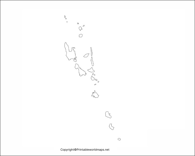
Printable Map of Vanuatu
Our Printable Blank Map of Vanuatu is designed for quick and convenient printing. It can be downloaded in high-resolution PDF and printed on standard A4 or Letter-size paper without losing quality.
This printable map is useful for:
- School assignments
- Classroom teaching
- Geography quizzes
- Educational posters
- Travel planning
- Research work
- Personal learning
Students and educators can freely print multiple copies for classroom activities.
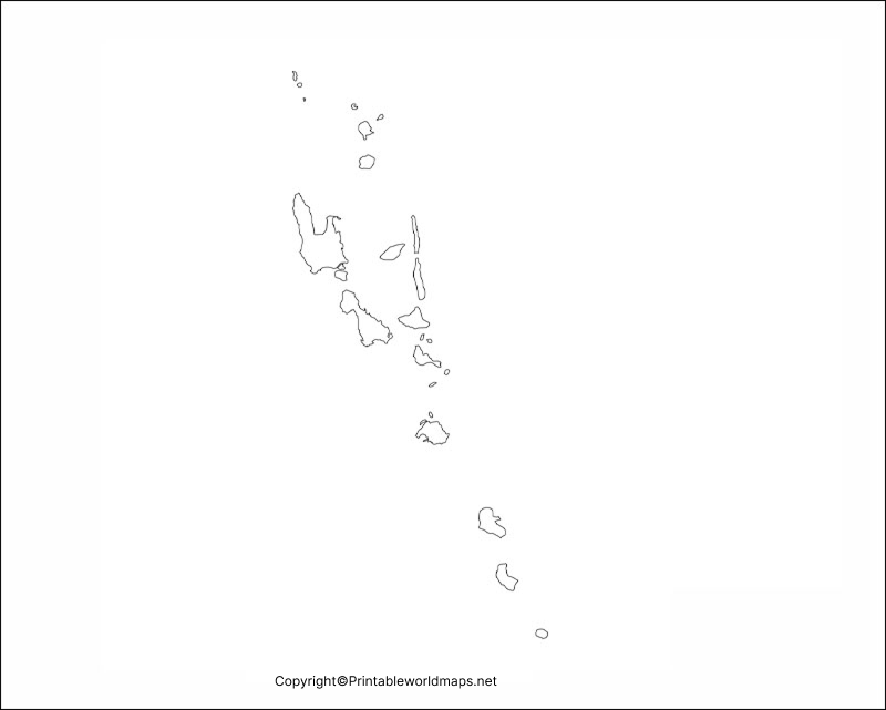
Transparent PNG Map of Vanuatu
The Transparent PNG Blank Map of Vanuatu is ideal for graphic designers, content creators, researchers, and teachers who need a map with a transparent background.
The PNG version can be used for:
- Educational presentations
- Website graphics
- Infographics
- YouTube videos
- GIS projects
- Research papers
- Digital learning resources
The transparent background allows seamless integration into presentations and digital content.

Map of Vanuatu for Practice Worksheet
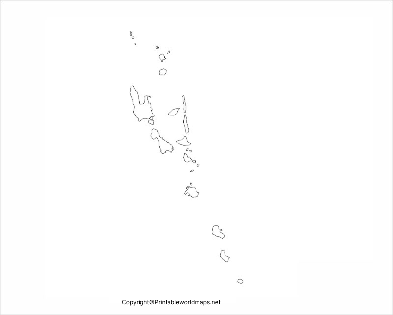
Improve your geography skills with our Blank Map of Vanuatu Practice Worksheet. It is specially designed for students preparing for geography exams or learning about Pacific island nations.
The worksheet includes activities such as:
- Label major islands
- Mark Port Vila
- Identify surrounding countries
- Locate the Pacific Ocean
- Name provinces
- Practice island identification
- Complete geography quizzes
Teachers can also use these worksheets for classroom assessments and homework assignments.
Interesting Facts About Vanuatu
- Official Name: Republic of Vanuatu
- Capital City: Port Vila
- Continent: Oceania
- Region: South Pacific Ocean
- Total Islands: Around 83
- Inhabited Islands: Approximately 65
- Official Languages: Bislama, English, French
- Independence: 30 July 1980
- Currency: Vanuatu Vatu (VUV)
- Highest Mountain: Mount Tabwemasana (1,879 metres)
- Time Zone: UTC+11
- Driving Side: Right
- UNESCO World Heritage Sites: Chief Roi Mata’s Domain
Why Use Our Blank Map of Vanuatu?
- Free high-quality downloads
- Printable PDF format
- Transparent PNG version
- Clean outline maps
- Suitable for schools and colleges
- Ideal for teachers and researchers
- Perfect for competitive exam preparation
- Updated with accurate geographical boundaries
Frequently Asked Questions (FAQs)
Is this Blank Map of Vanuatu free to download?
Yes. All printable maps are available for free educational and personal use.
Which formats are available?
You can download the map in Printable PDF, Outline, and Transparent PNG formats.
Can teachers use these maps?
Absolutely. Teachers can print unlimited copies for classroom learning, assignments, quizzes, and geography activities.
Is this map suitable for competitive exams?
Yes. The blank outline map is useful for UPSC, SSC, school examinations, university geography courses, and general knowledge practice.









