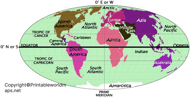
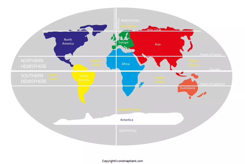
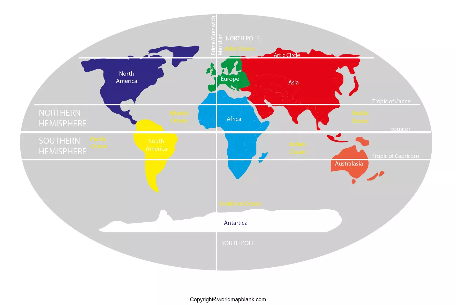
While visualizing a world map with hemispheres, the user can see that if a circle is drawn around the earth, it bifurcates into two halves, each half is said to be a hemisphere. The world map has four hemispheres comprising Western, Eastern, Southern and Northern hemispheres. If this map is divided into a double hemisphere along the line of the equator, it will represent Northern and Southern Hemispheres. If the earth is divided along the Prime Meridian, the double hemispheres will be called Eastern and Western Hemispheres.
- World coronavirus map
- World geographical map
- World Map Wallpaper
- World population map
- Accurate map of World
- Ancient World map
Contents
World Map with Hemispheres Labeled

With some exceptions, all countries situated north of the Equator are in the Northern Hemisphere; all countries situated south of the Equator, are in the Southern Hemisphere. In the Western Hemisphere countries in west of the Prime Meridian exist. Those countries in east of Prime Meridian, are found in Eastern Hemisphere. The Eastern Hemisphere covers most of Africa and Europe, about half of Antarctica, Australia or Oceana and Asia. In the Western Hemisphere, about fifty percent of Antarctica, and South and North America are included. Countries, like the Caribbean, Central America, and Greenland are in the Western Hemisphere.
World Map with Hemispheres and Continents

A labeled world map with hemispheres reveals four hemispheres; each is shaded in dark grey color. The labeled Equator, a horizontal imaginary line at 0 degrees latitude, at the center of the earth, divides the world map into Southern and Northern Hemispheres. The Prime Meridian is labeled as red imaginary vertical line, at 0 degrees longitude, and its twin line of longitude, opposite the Prime Meridian, at 180 degrees longitude.
Map of World with Hemispheres

The line divides the earth as you can see in the picture in the Western and Eastern Hemispheres. In the Northern Hemisphere, countries north of the Equator are labeled. In the Southern Hemisphere, countries south of the Equator are labeled in the world map. The labeling of countries in the west of the Prime Meridian is located in the Western Hemisphere. Labeling of countries situated in the east of the Prime Meridian is located in the Eastern Hemisphere.
Hemispheres World Map

The labeling of most of the regions of Africa, about fifty percent of Antarctica, the entire Asian region and Australia or Oceania, and most of Europe are in the Eastern Hemisphere. The Western Hemisphere labeled covers about the other fifty percent of Antarctica region, South and North America, the Caribbean region, Central America, and Greenland. The Northern and Southern Hemispheres cover labeling of North America, partially South America, part of Africa, Asia, Europe, and other countries.


