
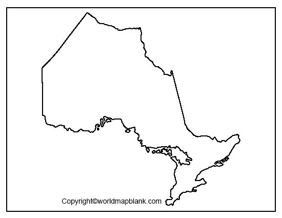

Explore Ontario’s geography with a printable blank map of Ontario available in outline, transparent PNG, and practice worksheet formats. These maps can help students, teachers, and geography enthusiasts identify the province’s shape, practise map labeling, and understand its major geographic features.
Ontario is a province in east-central Canada. Toronto is the provincial capital, while Ottawa is Canada’s national capital and is also located in Ontario. The province has a diverse landscape that includes the Canadian Shield, the Hudson Bay Lowlands, the Great Lakes–St. Lawrence Lowlands, and numerous lakes and rivers.
Use the printable maps and worksheets below for classroom activities, geography revision, homework, or personal study.
- World Map with Continents
- Labeled Map of South America
- Labeled Map of Africa
- Political World Map
- Blank Map of World
- World Map with oceans
- World Map Poster
- Labeled Map of Europe
- Labeled Map of Africa
- Blank Map of Asia
- World Time Zone Map
- Labeled Map of World
- Physical World Map
Blank Map of Ontario – Outline
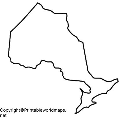
A blank outline map of Ontario shows the province’s outer boundary without requiring users to rely on pre-labeled locations. It is useful for practicing map drawing, identifying Ontario’s position in Canada, and learning about its surrounding geographic features.
Ontario has a varied landscape, from the rocky Canadian Shield to the fertile lowlands of southern Ontario. The province borders Manitoba to the west, Quebec to the east, Hudson Bay and James Bay to the north, and the Great Lakes and St. Lawrence River region to the south.
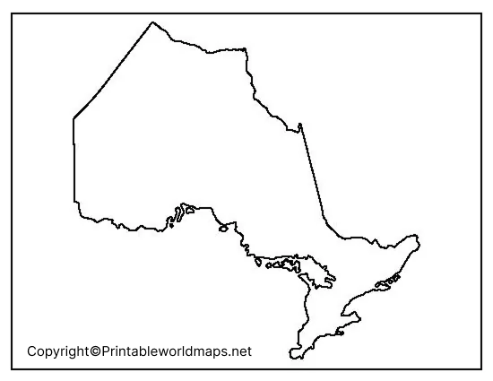
How to Use the Ontario Outline Map
- Trace the province’s boundary to practise drawing its shape.
- Label Toronto, Ottawa, and other important cities.
- Mark the Great Lakes and Hudson Bay.
- Identify neighboring provinces and major geographic regions.
- Use the outline for geography quizzes and classroom assignments.
Printable Map of Ontario
A printable map of Ontario is useful for studying the province’s location, boundaries, cities, and physical geography. Depending on the map version, users can practise labeling locations or use the outline as a base for their own notes.
Teachers can include the map in classroom worksheets, while students can use it for revision, presentations, and geography projects. Before printing, choose the map format that best matches the activity.
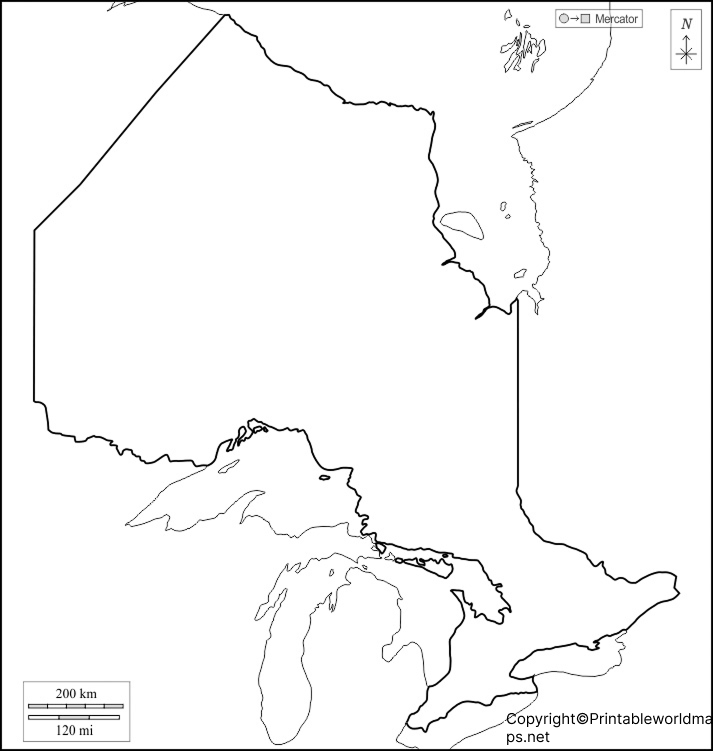
Tips for Printing Your Map
- Open the PNG image or PDF file using your browser or a PDF reader.
- Select paper size, such as A4 or Letter, according to your printer.
- Choose portrait or landscape orientation based on the map’s proportions.
- Use the fit-to-page setting to keep the map within the printable area.
- Print a test copy if you need space for handwritten labels or notes.
For classroom activities, a PDF is often convenient for consistent printing, while a PNG may be easier to insert into presentations or digital worksheets.
Blank Map of Ontario for Practice Worksheet
A blank map worksheet helps learners test their understanding of Ontario’s geography without depending on pre-filled labels. Students can add city names, neighboring provinces, major water bodies, and other features based on their lessons.
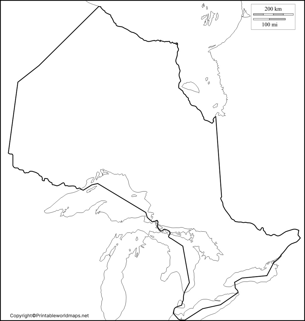
Ontario Map Practice Activities
Try these exercises after printing the worksheet:
- Mark Toronto, the provincial capital.
- Mark Ottawa, Canada’s national capital.
- Label Manitoba and Quebec.
- Identify Hudson Bay and James Bay.
- Locate Lake Superior, Lake Huron, Lake Erie, and Lake Ontario.
- Identify the Canadian Shield and the Great Lakes–St. Lawrence Lowlands.
Transparent PNG Ontario Map
A transparent PNG Ontario map can be useful when you want to place the province’s outline over a colored background, presentation slide, infographic, or educational document. Transparency allows the background to show through wherever the image contains transparent pixels.
The usefulness of a transparent map depends on the actual image file. Check that the downloaded PNG has a transparent background rather than a solid white background before using it in a design project.
Best Uses for a Transparent Ontario Map
- Educational presentations and geography projects.
- Infographics about Canadian provinces.
- Digital worksheets and classroom materials.
- Posters and location-based illustrations.
- Graphic designs that need Ontario’s outline on a custom background.
If you need transparency, use the PNG version and verify the background before inserting it into your design. A PDF version may be more suitable for printing, depending on how the file was created.
Important Facts About Ontario’s Geography
Ontario is one of Canada’s largest provinces by area and the country’s most populous province. Its size and varied physical landscape make it an interesting subject for map-based learning.
Here are some useful facts to explore alongside the blank map:
- Provincial capital: Toronto.
- National capital connection: Ottawa, Canada’s capital city, is in Ontario.
- Geographic regions: The province includes the Canadian Shield, Hudson Bay Lowlands, and Great Lakes–St. Lawrence Lowlands.
- Freshwater resources: Ontario has more than 250,000 lakes, according to the Government of Ontario.
- Northern boundary: Hudson Bay and James Bay border northern Ontario.
- Southern geography: The Great Lakes and the St. Lawrence River region are important features of southern Ontario.
- Time zones: Ontario spans Eastern and Central time zones.
These facts can help learners connect the province’s outline with its location, physical geography, and major landmarks.
Frequently Asked Questions About the Printable Blank Map of Ontario
1. Where can I download a printable blank map of Ontario?
You can download the outline map, printable map, and practice worksheet from the links provided in this article. PNG files are useful for digital projects, while PDF files are convenient for printing.
2. Is the blank Ontario map suitable for school assignments?
Yes. A blank map can be used for geography homework, classroom exercises, map-labeling activities, and revision. Always follow your teacher’s instructions about which locations and geographic features to include.
3. What is the capital of Ontario?
Toronto is the capital of Ontario. Ottawa is Canada’s national capital and is also located within Ontario.
4. What geographic features should I label on an Ontario map?
Depending on the assignment, you can label Toronto, Ottawa, neighboring provinces, Hudson Bay, James Bay, and the Great Lakes. More advanced activities may include Ontario’s major physiographic regions.
5. What is the difference between a PNG map and a PDF map?
PNG is an image format that is useful for digital documents and presentations. PDF is a document format that is often convenient for printing and sharing. A PNG only has a transparent background if transparency is present in the actual image file.
6. Can I print the Ontario map on A4 or Letter paper?
You can generally print a map image or PDF on A4 or Letter paper by selecting the appropriate paper size and fit-to-page option. Check the print preview to ensure that the outline and labels remain clear.
Natural Resources Canada provides reference maps of Ontario, including versions with and without names. These are useful for checking boundaries, geographic features, and map labels.
Reference links
https://www.ontario.ca/page/about-ontario
https://natural-resources.canada.ca/maps-tools-publications/maps/atlas-canada/reference-maps
