

Download a blank map of British Columbia for geography lessons, school assignments, classroom activities, and personal study. This page includes an outline map, a printable provincial map, a practice worksheet, and a transparent PNG map, with PDF options for printing.
British Columbia is a province in western Canada. Its capital is Victoria, while Vancouver is its largest city by population. The province features the Pacific coastline, mountain ranges, forests, islands, and interior plateaus, making it a useful region for learning about physical and political geography.
Whether you are a student, teacher, parent, or geography enthusiast, these printable British Columbia maps can help you identify the province’s shape, practise drawing its outline, and explore its major geographical features.
- World Map with Continents
- Labeled Map of South America
- Labeled Map of Africa
- Political World Map
- Blank Map of the World
- World Map with oceans
- World Map Poster
- Labeled Map of Europe
- Labeled Map of Africa
- Blank Map of Asia
- World Time Zone Map
- Labeled Map of World
- Physical World Map
Blank Map of British Columbia – Outline
A blank outline map of British Columbia is useful for learning the province’s shape and practising map-labeling skills. Students can use it to trace the provincial boundary, identify neighbouring provinces and territories, and mark important locations.
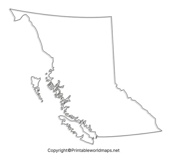
How to use the outline map
- Trace the provincial boundary with a pencil.
- Mark Victoria, the provincial capital.
- Locate Vancouver and other important cities using a reliable reference map.
- Label neighbouring provinces, territories, and the Pacific Ocean where appropriate.
- Use the completed map to revise geographical locations.
For accurate political boundaries and official geographic information, compare your work with authoritative Canadian government mapping resources.
Printable Map of British Columbia
A printable map of British Columbia can help learners explore the province’s overall location and geographical layout. Depending on the details shown in the supplied map, it may also be useful for identifying cities, boundaries, and surrounding geographical features.
Ways to use this map
- Learn where British Columbia is located in Canada.
- Practise identifying cities and geographical features shown on the map.
- Prepare classroom presentations and geography assignments.
- Use the map as a reference for independent study.
Before printing, check the map legend and labels to understand which geographical information the particular version includes.
Blank Map of British Columbia for Practice Worksheet
A British Columbia map worksheet gives students an opportunity to practise geographical knowledge without relying on pre-filled labels. Teachers and parents can use a blank worksheet for revision, classroom exercises, and geography quizzes.
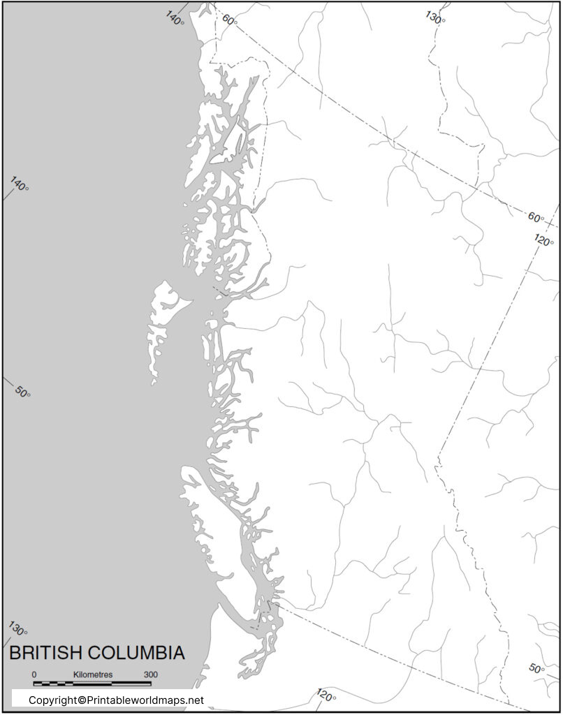
Practice activities
- Draw or trace the outline of British Columbia.
- Mark Victoria, Vancouver, and other cities using an atlas.
- Identify the Pacific Ocean and the province’s major mountain regions.
- Label neighbouring Alberta and the Yukon, as appropriate to the map.
- Compare your answers with a reliable reference map.
These activities can support spatial awareness, map-reading skills, and geographical recall. Teachers can adapt the exercises to suit different grade levels.
Transparent PNG British Columbia Map
A transparent PNG map of British Columbia can be useful for presentations, digital worksheets, educational projects, and map-based illustrations. A transparent background allows the map to be placed over different background colours or designs in compatible editing software.
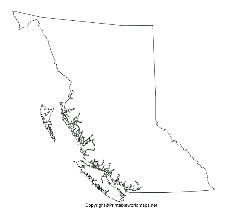
How to use the transparent PNG
- Add the map to a school presentation or digital worksheet.
- Place it over a coloured background for an educational poster.
- Use it in a geography project, subject to the image’s usage permissions.
- Add labels and annotations using compatible image-editing software.
Transparency alone does not guarantee that every mountain, boundary, or geographical feature is displayed. Check the image itself before using it for detailed geographical analysis.
British Columbia Geography: Important Facts
Use these facts alongside the blank map to make geography lessons more informative.
- Country: Canada
- Region: Western Canada
- Capital: Victoria
- Largest city by population: Vancouver
- Coastline: Along the Pacific Ocean
- Neighbouring Canadian province: Alberta
- Neighbouring territory: Yukon
- Major physical features: Coast Mountains, Columbia Mountains, Rocky Mountains, forests, islands, and interior plateaus
British Columbia’s varied landscapes make it an excellent case study for learning about coastlines, mountain systems, climate, settlement patterns, and regional geography.
For current population figures, official provincial boundaries, and authoritative geographic data, consult the reference resources linked below.
How to Print a British Columbia Map
Follow these simple steps to get the best results from your printable map.
- Select the PNG image for digital use or the PDF version for printing.
- Open the file on your device.
- Choose your printer’s paper size, such as A4 or Letter, as appropriate.
- Select portrait or landscape orientation according to the map’s proportions.
- Use the print preview to ensure the entire map fits on the page.
- Print in black and white for tracing or in colour if the map contains meaningful colours.
For classroom worksheets, ordinary paper is usually sufficient. For repeated practice, consider using thicker paper or placing the printed map inside a reusable protective sleeve.
Frequently Asked Questions
1. Where can I download a blank map of British Columbia?
You can download the blank outline map from the PNG or PDF links in the outline-map section above. The worksheet and transparent PNG are also available in their respective sections.
2. Is the British Columbia blank map available in PDF format?
Yes. PDF download links are provided for the outline map, printable map, practice worksheet, and transparent map. Open the relevant PDF link to view or print the file.
3. What is the capital of British Columbia?
Victoria is the capital of British Columbia. Vancouver is the province’s largest city by population.
4. How can students use a blank map of British Columbia?
Students can trace the provincial outline, label the capital and major cities, identify neighbouring regions, and practise locating physical features using a reliable reference map.
5. What is the difference between a PNG map and a PDF map?
PNG is an image format suited to digital documents, presentations, and image editing. PDF is a document format that is generally convenient for printing and maintaining a consistent page layout.
6. Can I use the transparent PNG map in a school project?
You can use it in a school project if the image’s licence or usage terms permit that use. Check the publisher’s permissions before redistributing or using the image commercially.
7. Which provinces and territories border British Columbia?
British Columbia borders Alberta to the east and Yukon to the north. It also shares a boundary with the Northwest Territories in the northeast. The Pacific Ocean lies to the west.
8. Where can I verify British Columbia’s geography?
For reliable geographic information, consult official Government of British Columbia resources, Statistics Canada, and Natural Resources Canada’s mapping resources. These sources are suitable for checking boundaries, place names, and other geographic details.
Reference links
https://www.statcan.gc.ca/en/start
https://natural-resources.canada.ca/maps-tools-and-publications
