

A blank map of Newfoundland and Labrador is a useful resource for students, teachers, geography enthusiasts, and anyone learning about Canada’s easternmost province. These printable outline maps are available in PNG and PDF formats for drawing, labeling, classroom activities, and geography practice.
Newfoundland and Labrador is one of Canada’s Atlantic provinces. Its capital city is St. John’s, located on the island of Newfoundland. The province includes the island of Newfoundland and the mainland region of Labrador, which is part of the Canadian mainland.
Use the printable maps below to study the province’s outline, practice identifying its geographical features, and build your understanding of Canada’s provinces and territories.
- World Map with Continents
- Labeled Map of South America
- Labeled Map of Africa
- Blank Map of Asia
- World Time Zone Map
- Physical World Map
- Political World Map
- Blank Map of World
- World Map with oceans
- World Map Poster
- Labeled Map of World
- Labeled Map of Europe
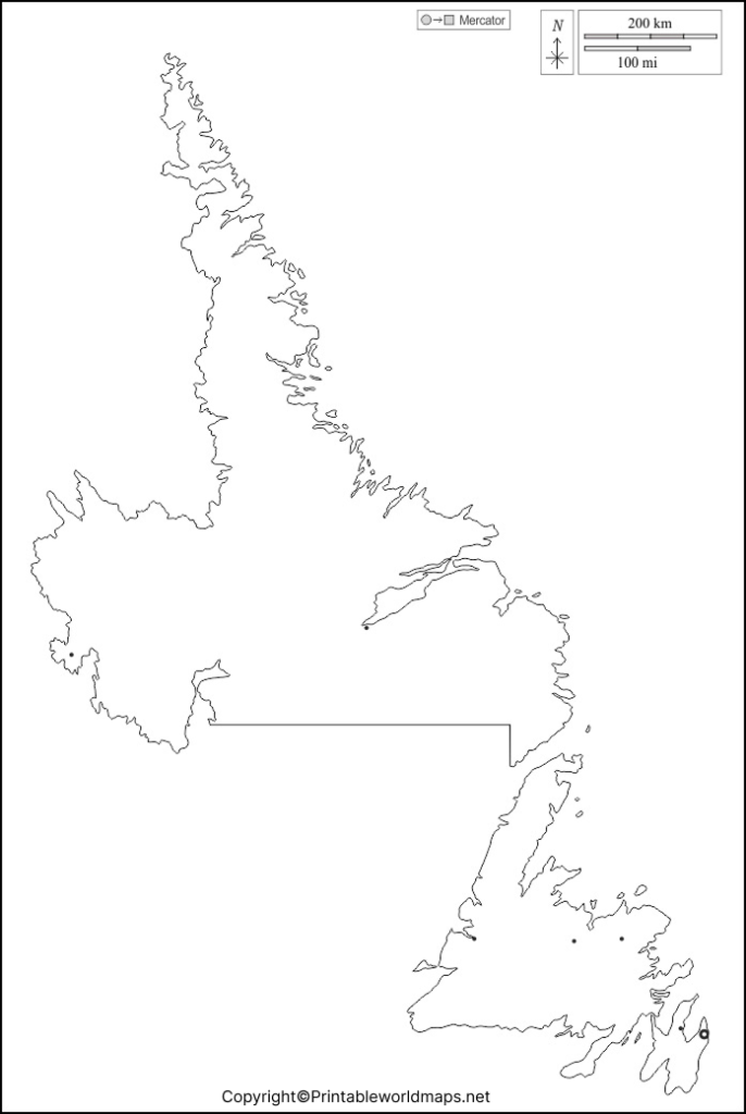
Blank Map of Newfoundland and Labrador – Outline
Our blank map of Newfoundland and Labrador provides an outline that you can use for geography lessons, drawing exercises, and educational projects. Download the image or PDF version, print it, and add labels or notes according to your learning objectives.
How to Use the Outline Map
- Trace the provincial outline to practice drawing its general shape.
- Label St. John’s and other locations using a reliable atlas.
- Identify the island of Newfoundland and mainland Labrador.
- Add surrounding bodies of water and major geographical features.
- Use the map for school assignments, quizzes, and revision activities.
Remember that a blank outline is intended for practice and reference. Consult an authoritative map when you need precise boundaries, distances, or geographic coordinates.
Printable Map of Newfoundland and Labrador
A printable map of Newfoundland and Labrador can help learners understand the province’s overall geography. Print the image for a classroom activity, include it in a school project, or use it as a base for adding geographical labels.
For the best results, select a print size that keeps the outline clear and leaves enough space for writing. Use the PDF version when you want a document that is convenient to print, and choose the PNG version when you need an image for a worksheet or presentation.
Blank Map of Newfoundland and Labrador Practice Worksheet
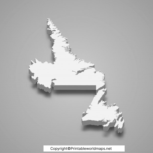
The blank map of Newfoundland and Labrador practice worksheet is useful for reinforcing geographical knowledge through repeated exercises. Students can use it to test their understanding of the province’s shape, location, capital city, and major physical features.
Geography Practice Activities
- Locate Newfoundland and Labrador on a map of Canada.
- Mark St. John’s, the provincial capital.
- Distinguish the island of Newfoundland from mainland Labrador.
- Add the Atlantic Ocean, the Gulf of St. Lawrence, and the Labrador Sea where appropriate to your reference map.
- Compare your completed worksheet with a reliable atlas and correct any errors.
Teachers can also use this worksheet for short quizzes, homework, group learning, and geography revision.
Transparent PNG Newfoundland and Labrador Map
A transparent PNG map of Newfoundland and Labrador can be useful for presentations, digital worksheets, and educational designs. A transparent background may allow the map outline to sit over a colored background or alongside other visual elements.
The PNG is the most suitable option when you need to place the image over another design. Check the image’s actual background transparency before using it. The PDF is useful for printing, but its background and appearance may differ depending on how the file was created.
Important Facts About Newfoundland and Labrador
Newfoundland and Labrador has distinctive island and mainland geography, a long Atlantic coastline, and varied natural landscapes.
- Capital: St. John’s.
- Location: Eastern Canada, in the Atlantic region.
- Geographical composition: The island of Newfoundland and mainland Labrador.
- Land area: Approximately 405,720 square kilometres, according to the provincial government’s published figures.
- Population reference: The 2021 Census recorded 510,550 residents.
- Notable natural attraction: Gros Morne National Park, a UNESCO World Heritage Site recognized for its geological features and exceptional landscapes.
These facts provide helpful context for anyone using a blank map to study Canadian geography. Population figures change over time, so consult the latest official statistics when current population data is required.
Why Use a Blank Map for Geography Learning?
Blank maps encourage active learning rather than simply reading place names. By adding labels and geographical features yourself, you can test what you know and identify topics that need more practice.
Students can use these maps for provincial geography, Canadian map quizzes, school presentations, and independent study. Teachers can adapt the worksheets for different grade levels by asking learners to label cities, bodies of water, regions, or physical features.
Frequently Asked Questions
1. Where can I download a blank map of Newfoundland and Labrador?
You can download the outline map and practice worksheet from the PNG and PDF links provided in this article. Choose the format that best suits your printing or digital learning needs.
2. What is the capital of Newfoundland and Labrador?
St. John’s is the provincial capital. It is located on the island of Newfoundland.
3. Does Newfoundland and Labrador include mainland territory?
Yes. The province includes both the island of Newfoundland and the mainland region of Labrador.
4. Can I print the map for school assignments?
Yes. The provided map files can be used for personal educational activities, subject to the website’s applicable terms. Check the PDF print layout before printing.
5. What is the difference between a blank map and a labeled map?
A blank map generally shows outlines without place names, allowing learners to add labels themselves. A labeled map includes names or other geographical information for reference and study.
6. What is Newfoundland and Labrador known for geographically?
The province is known for its Atlantic coastline, island and mainland landscapes, and natural attractions such as Gros Morne National Park. The park is internationally recognized for its geological significance.
7. Where can I find reliable geographical information about the province?
Consult the Government of Newfoundland and Labrador for provincial facts, Statistics Canada for census information, and Parks Canada or UNESCO for information about Gros Morne National Park.
Reference links
https://www.gov.nl.ca/aboutnl/Open official source
https://www.gov.nl.ca/aboutnl/area.htmlOpen official source
https://www.gov.nl.ca/fin/economics/eb-population/Open official source
https://www150.statcan.gc.ca/t1/tbl1/en/tv.action?pid=9810000501Open official source
https://parks.canada.ca/pn-np/nl/grosmorneOpen official source
