
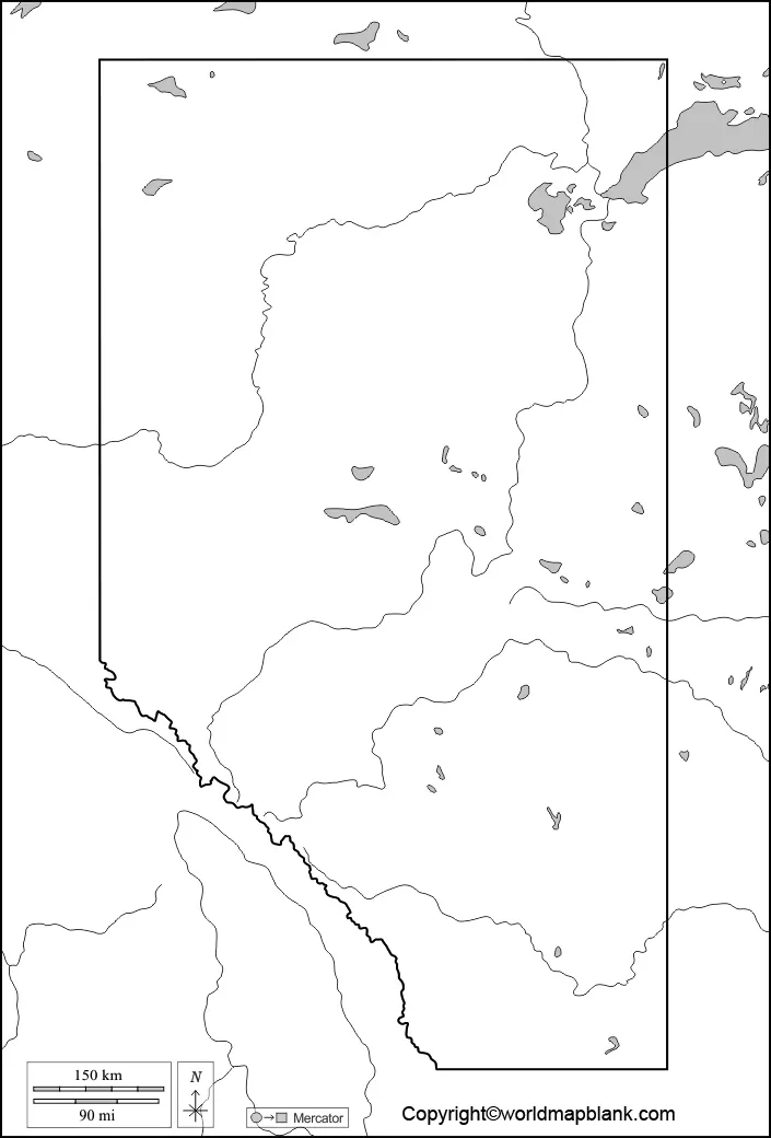

Looking for a blank map of Alberta for schoolwork, geography practice, or a printable worksheet? This page provides an Alberta map outline, a printable provincial map, a practice worksheet, and a transparent PNG map. Use the available PDF files for printing or the image files for digital learning and classroom activities.
Alberta is a province in western Canada, bordered by British Columbia to the west, Saskatchewan to the east, the Northwest Territories to the north, and the U.S. state of Montana to the south. Its capital city is Edmonton. A blank Alberta map can help students learn the province’s shape, location, neighbouring regions, and major geographical features.
Blank Map of Alberta – Outline
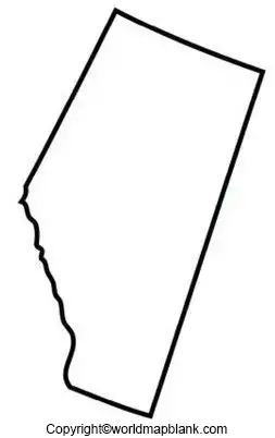
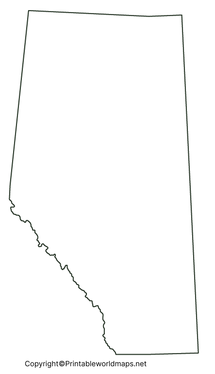
A blank map of Alberta shows the province’s outer boundary without requiring learners to rely on labels or detailed geographical information. It is useful for practising map drawing, identifying the province, and completing geography assignments.
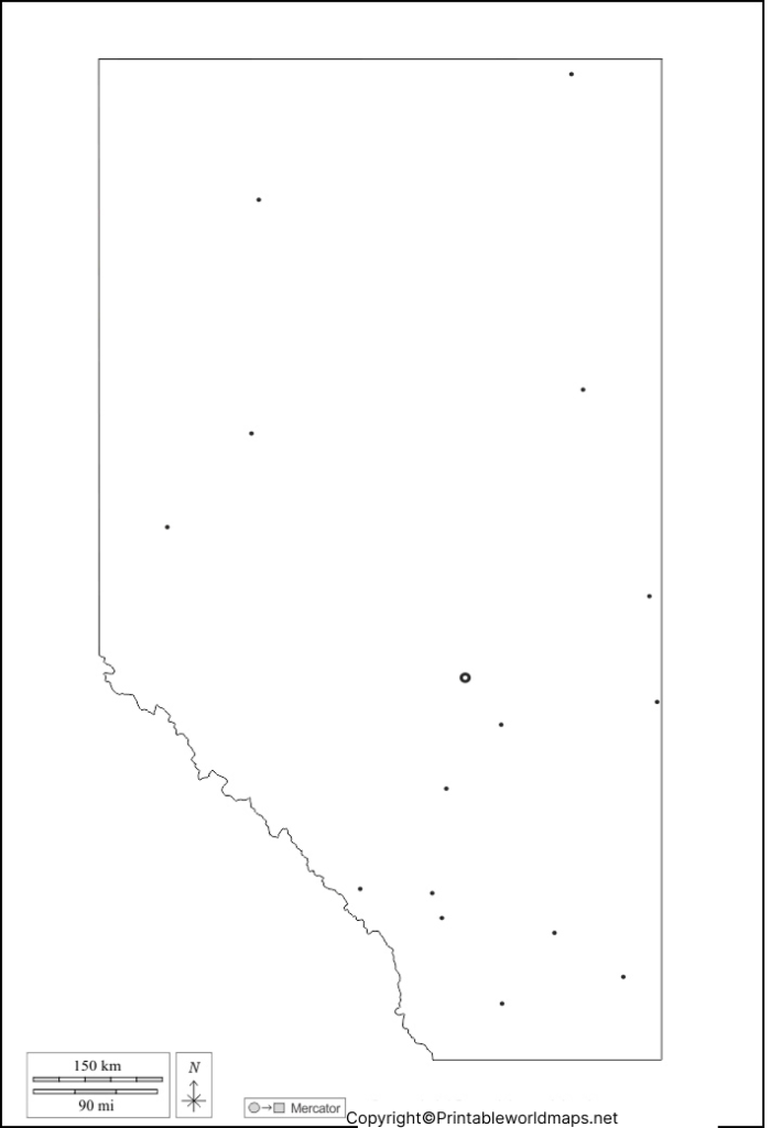
How to Use the Alberta Outline Map
- Trace the provincial boundary to practise drawing Alberta.
- Label Alberta’s neighbouring province, territory, and country.
- Mark Edmonton, the provincial capital, if your worksheet allows labels.
- Use the outline for classroom quizzes and geography revision.
- Add colours or symbols to represent physical and human geography.
The outline is especially useful when you want students to recall information independently instead of simply reading labels printed on a map.
Printable Map of Alberta
A printable map of Alberta helps learners understand where the province is located within Canada. Depending on the map, it may include provincial boundaries, selected cities, roads, rivers, lakes, or neighbouring regions.
Use this map to practise locating Alberta within Canada, comparing its position with neighbouring provinces, and learning about the province’s general geography.
For an authoritative reference map showing provincial boundaries, selected populated places, the capital, and selected drainage features, consult Natural Resources Canada’s Alberta reference map collection.
Blank Map of Alberta for Practice Worksheet
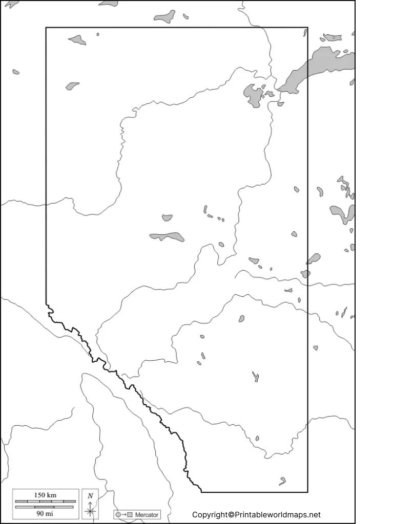
A blank map of Alberta worksheet gives students an opportunity to test their geographical knowledge through independent practice. Teachers, parents, and students can use the worksheet for homework, revision, or classroom exercises.
Practice Activities
Try these exercises with the worksheet:
- Draw or trace the outline of Alberta.
- Write the name of Alberta’s capital city.
- Identify British Columbia and Saskatchewan on the appropriate sides of Alberta.
- Mark the Northwest Territories to the north and Montana in the United States to the south.
- Add major rivers, lakes, or mountain regions using a reliable reference map.
- Compare your completed worksheet with an authoritative map and correct any mistakes.
These activities encourage active recall, spatial awareness, and independent learning. They can be adapted for different grade levels by changing the number of features students need to identify.
Transparent PNG Alberta Map
A transparent PNG Alberta map is useful for digital presentations, worksheets, educational projects, and map-based designs. A transparent background can make it easier to place the province’s outline over a coloured background or another graphic.
When to Use a Transparent Map
- Add the Alberta outline to a school presentation.
- Place the map over a coloured background in an educational graphic.
- Create a labelled or colour-coded geography activity.
- Use the outline as a starting point for a classroom project.
- Include the map in a digital worksheet, where the file’s licence permits reuse.
Alberta Geography: Facts to Know
Use these basic facts alongside your blank map of Alberta to improve your understanding of the province.
| Geographic fact | Information |
|---|---|
| Country | Canada |
| Province | Alberta |
| Capital city | Edmonton |
| Region | Western Canada |
| Province to the west | British Columbia |
| Province to the east | Saskatchewan |
| Territory to the north | Northwest Territories |
| U.S. state to the south | Montana |
| Major physical regions | Rocky Mountains, foothills, prairie, and boreal forest |
Alberta’s landscape includes the Rocky Mountains in the west, foothills, extensive prairie areas, and forested regions in the north. Its rivers and lakes also form important parts of the province’s physical geography.
How to Print an Alberta Map
Follow these steps to print a map for school, teaching, or personal study:
- Choose the PNG image or PDF download that suits your activity.
- Open the file on your computer or device.
- Select the print option.
- Choose portrait or landscape orientation according to the map’s shape.
- Use a suitable paper size, such as A4 or Letter, and select a fit-to-page setting if necessary.
- Preview the page to check that the complete provincial outline is visible.
- Print the map and add labels or notes as required.
For the clearest results, use the PDF when available for printing and check that the image is not cropped or stretched.
Frequently Asked Questions
1. Where can I download a blank map of Alberta?
You can download the Alberta outline map, printable map, practice worksheet, and transparent PNG from the links provided in the relevant sections above. PDF versions are available for the listed resources.
2. Is the blank Alberta map suitable for students?
Yes. A blank outline can help students practise drawing provincial boundaries, identifying neighbouring regions, locating the capital, and reviewing geographical features.
3. Can I print the Alberta map at home?
Yes. Open the provided PDF or image file and use your printer’s settings to select paper size, orientation, and scaling. Preview the page before printing to avoid cutting off the map.
4. What is the capital of Alberta?
Edmonton is the capital city of Alberta, Canada.
5. What provinces and territories border Alberta?
Alberta borders British Columbia to the west, Saskatchewan to the east, and the Northwest Territories to the north. Montana, a U.S. state, lies to the south.
6. What is a transparent PNG Alberta map used for?
A transparent PNG map can be placed over coloured backgrounds or used in presentations and digital worksheets. Verify that the downloaded image actually has a transparent background.
7. What is the difference between a PNG map and a PDF map?
PNG is an image format suitable for digital use and graphic design. PDF is a document format that is generally convenient for printing and sharing. The quality and transparency of each file depend on how it was created.
8. Where can I find an official Alberta reference map?
Natural Resources Canada provides reference maps of Alberta, including political and outline maps. The Government of Alberta also provides geographic maps and datasets through its geospatial resources.
Reference links
https://natural-resources.canada.ca/maps-tools-publications/maps/atlas-canada/reference-maps
https://www.alberta.ca/provincial-geospatial-centre
https://www.alberta.ca/geospatial-maps-overview
https://open.canada.ca/data/en/dataset/bf6c75d1-b18f-5b94-aae4-b4b26ec5a825
https://www.alberta.ca/population-statistics
https://www.canada.ca/en/intergovernmental-affairs/services/provinces-territories.html
