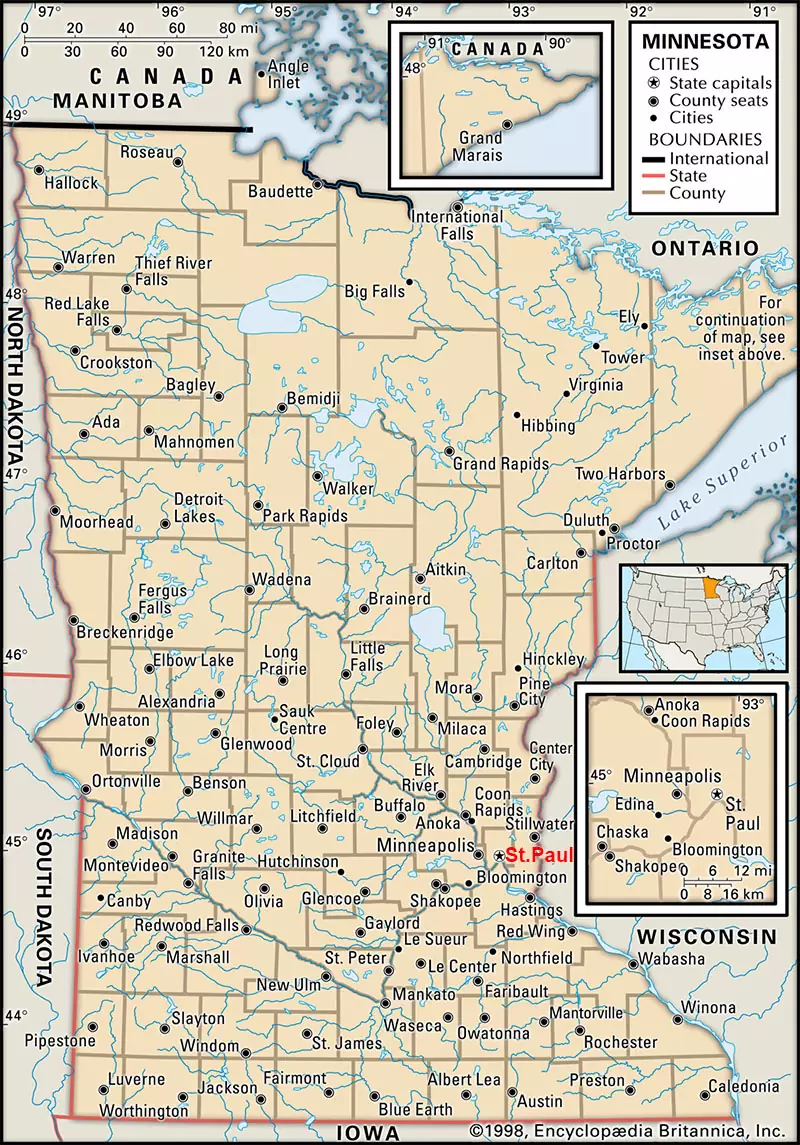
Labeled Map of Minnesota enables anyone to learn about the details of Minnesota state, in the US. Accordingly, it can be seen that Minnesota is one out of the fifty US states situated in the western part of the Great Lakes Region. It is recognized as the ‘Land of 10,000 Lakes.’ It has borders with the Canadian provinces of Manitoba, Ontario, in the north. The other borders of Minnesota, include Wisconsin in the southeast, Iowa in the south, South Dakota and North Dakota, in the west. Minnesota state shares a border with Michigan state in Lake Superior.
Contents
Country Maps
Labeled Map of Minnesota

The land area of Minnesota state is 86,939 square miles or 225,181 square kilometers. This land area of Minnesota when compared with that of Romania, is slightly smaller, but slightly larger than that of Utah. However, it can be seen that the land area of Minnesota state can fit into Texas nearly three times. This state has a nickname known as, the “North Star State,” and its population is 5.61 million people. Besides the Mississippi River, the other major rivers that flow in the state of Minnesota, include the Red River, the Rainy River, the Minnesota River, and the St. Croix River. Christianity is the majority of statewide religion followed by other religions, like Evangelical Protestants, Roman Catholics, Buddhists, Islamic and Jewish.
Labeled Map of Minnesota Printable

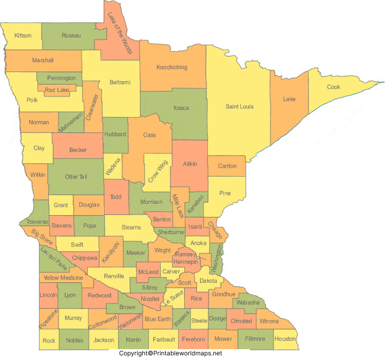
As a part of the labeled map of Minnesota with states, Minnesota is divided into eighty-seven counties. They are Wabasha, nine established historical counties, which include Wahnata, Washington, Wabasha, Pembina, Mahkahta, Ramsey, Itasca, Dakotah and Benton. In the state of Minnesota, the largest county is St. Louis. Ramsey County is the smallest county, but it is densely populated in the state, and in the US.
Labeled Map of Minnesota with Cities

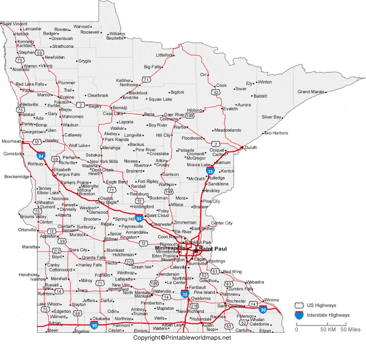
Based on the labeled map of Minnesota with cities, Minneapolis is the largest city in the state. The other cities are Duluth, Bloomington, Rochester and Saint Paul. But, the metropolitan area of Saint Paul and Minneapolis is known as, Twin Cities in the state.
Labeled Minnesota Map with Capital
As a part of the labeled Minnesota with capital, Saint Paul is the capital city of Minnesota state. It is located in the southeastern part of the state and is the seat of Ramsay county. The city of St. Paul is recognized as the second-most populous city in Minnesota. There are parks numbering 160, maintained in this city. The climate of this city is cool with long warm summers and cold winters.

This city is the center for major education, industries, government, healthcare, and financial sectors. The city has highly diversified manufacturing facilities that include medical equipment, machinery, software, other tools, and computer peripherals, chemical products, and automobiles. The city has businesses, like oil refining, processing of food, insurance, and high-technology facilities. The corporate headquarters of Minnesota Mining & Manufacturing Company are based in this city. It is the center for rail and trucking operations, and include an established major international airport on the southwestern corner.


