

Explore the blank map of Jordan for geography lessons, school assignments, map-labeling exercises, and educational projects. This collection includes an outline map, a printable map, a transparent PNG map, and a practice worksheet, with PDF versions available through the links below.
Jordan is a country in Western Asia, with Amman as its capital. Its landscape includes desert plateaus, highlands, the Jordan Valley, and the Dead Sea. A blank map of Jordan helps students understand the country’s location, shape, neighboring countries, and major geographical features.
Whether you want to print a map for classroom use, practice drawing country outlines, or add a map to a school project, choose the format that best fits your needs.
- World Map with Continents
- Labeled Map of South America
- Labeled Map of Africa
- Labeled Map of Europe
- Blank Map of Asia
- World Time Zone Map
- Physical World Map
- Political World Map
- Blank Map of World
- World Map with oceans
- World Map Poster
- Labeled Map of World
Blank Map of Jordan – Outline
The blank outline map of Jordan is useful for learning the country’s shape and practicing basic map-reading skills. Use it as a starting point for drawing, labeling, or identifying Jordan on a regional map.
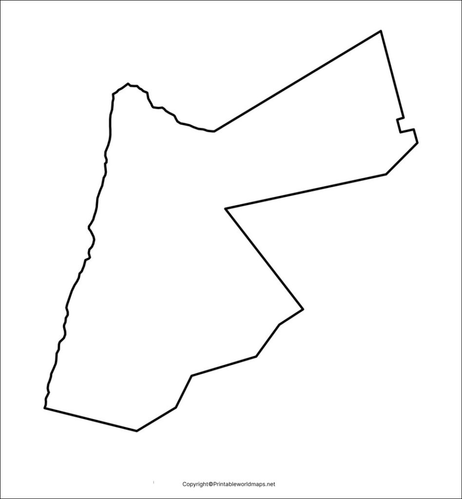
How to use this map:
- Trace the country’s outer boundary.
- Mark Jordan’s neighboring countries.
- Locate Amman and Aqaba when using a suitable reference map.
- Use the outline for geography homework and map-drawing practice.
Printable Map of Jordan
A printable map of Jordan is a convenient option for students, teachers, and anyone preparing a geography worksheet. Download the image for digital use or open the PDF version for printing.
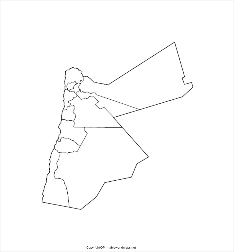
Suggested uses:
- Geography assignments and classroom activities.
- Country identification and map-reading exercises.
- Educational presentations and personal study notes.
- Comparing Jordan’s location with other countries in Western Asia.
Before printing, check the page orientation and print preview. Choose a suitable paper size and avoid stretching the image, which can distort the country’s shape.
Transparent Jordan Map – PNG
A transparent PNG map can be useful when placing Jordan’s outline over another background, adding it to a presentation, or preparing educational graphics. Transparency is especially helpful when you do not want a solid white background behind the map.
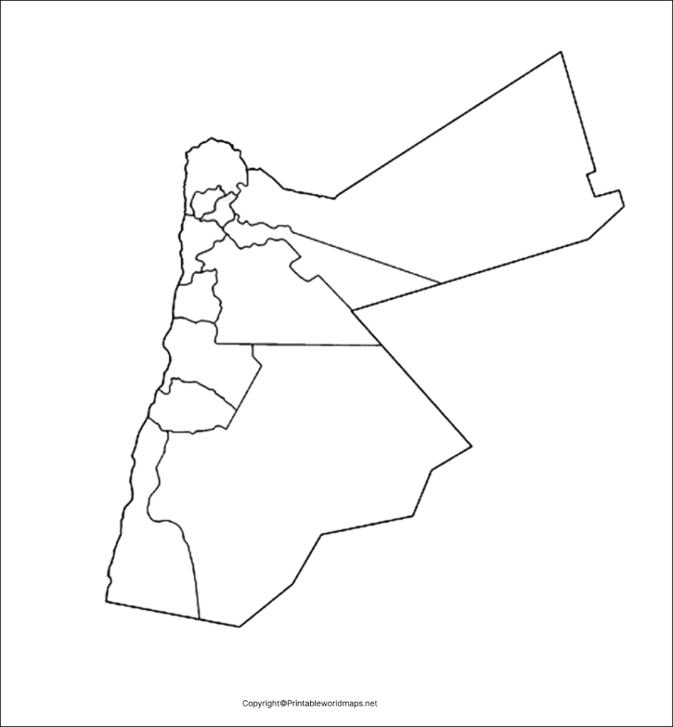
Practical tips:
- Check that the PNG actually has a transparent background before using it in a design.
- Use a graphics editor or presentation tool to place the map over a colored background.
- Keep the original proportions when resizing the map.
- Verify any borders, labels, or geographical details against a reliable reference before using the image for educational or research work.
Note that a transparent background does not automatically mean the map displays rivers, terrain, or other geographical features. Check the image itself to confirm which details it contains.
Map of Jordan form Practice Worksheet
The Jordan map practice worksheet is intended for repeated drawing and map-labeling exercises. Students can use it to improve their familiarity with the country’s outline and geographical position.
Practice activities:
- Trace the outline of Jordan.
- Label the capital, Amman, using a reliable reference map.
- Identify Syria, Iraq, Saudi Arabia, Israel, and the West Bank in relation to Jordan.
- Mark the Dead Sea and the Gulf of Aqaba on a suitable reference map.
- Compare your completed worksheet with a labeled map and correct any mistakes.
These activities can support geography revision, classroom learning, and independent study.
Geography of Jordan: Location, Borders, and Landscape
Jordan, officially the Hashemite Kingdom of Jordan, is located in Western Asia. Amman is the capital and the country’s largest urban centre. Jordan shares land boundaries with Syria to the north, Iraq to the northeast, Saudi Arabia to the east and south, and Israel and the West Bank to the west. It also has a short coastline on the Gulf of Aqaba, which connects it to the Red Sea.
According to the United Nations, Jordan’s surface area is approximately 89,318 square kilometres. The country’s landscape ranges from the Jordan Rift Valley and the Dead Sea in the west to highlands and extensive desert areas farther east and south.
Important geographical facts about Jordan
- Capital: Amman
- Region: Western Asia
- Official language: Arabic
- Currency: Jordanian dinar (JOD)
- Major geographical feature: The Dead Sea, on Jordan’s western side
- Highest point: Jabal Umm ad Dami, approximately 1,854 metres above sea level
- Sea access: Gulf of Aqaba and the Red Sea
Jordan’s landscape and location make it a useful example for studying borders, elevation, desert environments, and the relationship between physical geography and human settlement.
For current population figures and other changing statistics, consult the United Nations or World Bank rather than relying on an undated estimate.
How to Print and Use a Blank Map of Jordan
Follow these steps to get the most from your downloaded map:
- Choose the format: Select PNG for digital use or PDF for convenient printing.
- Open the file: Check that the image or PDF loads correctly before printing.
- Select the paper size: Use A4 or another suitable size supported by your printer.
- Adjust the print settings: Select portrait or landscape orientation as appropriate and maintain the map’s proportions.
- Complete your activity: Trace the outline, identify neighboring countries, or label geographical features.
- Check your answers: Compare your completed map with a trusted atlas or official geographical reference.
For classroom worksheets, leave enough white space for students to write labels and draw symbols.
Frequently Asked Questions About the Blank Map of Jordan
1. Where can I download a blank map of Jordan?
You can use the outline map linked in this article. Choose the PNG version for viewing or digital use, or open the corresponding PDF if you prefer to print it.
2. Is the blank map of Jordan available as a PDF?
Yes. This collection provides PDF links for the outline map, printable map, transparent map, and practice worksheet. Open the relevant download link to access the file.
3. What is the difference between an outline map and a transparent PNG map?
An outline map emphasizes the country’s external shape and boundaries. A transparent PNG can be placed over other backgrounds if its image file contains an alpha-transparent background. The precise geographical details depend on the individual map.
4. What is the capital of Jordan?
Amman is the capital of Jordan and its largest urban centre.
5. Which countries border Jordan?
Jordan’s land boundaries are with Syria, Iraq, Saudi Arabia, Israel, and the West Bank. The precise representation of political boundaries can vary by map and the conventions used by its publisher.
6. What are the main geographical features to label on a map of Jordan?
Depending on the map’s detail, useful features include Amman, the Dead Sea, the Jordan Valley, the Gulf of Aqaba, and neighboring countries. Use a labeled reference map to confirm locations.
7. Can students use a blank map of Jordan for school assignments?
Yes. Blank maps are useful for tracing outlines, identifying neighboring countries, labeling geographical features, and practicing map-reading skills. Follow the requirements of your teacher or assignment.
8. How can I print a Jordan map without distorting its shape?
Open the PDF or image in a suitable viewer, select the paper size, and preserve the original aspect ratio. Avoid manually stretching the image horizontally or vertically.
Reference links
https://jordan.gov.jo/EN/Pages/About_Jordan
https://data.un.org/legacy/en/iso/jo.html
https://jordan.unfpa.org/en/about-jordan
https://data.worldbank.org/country/jordan
