
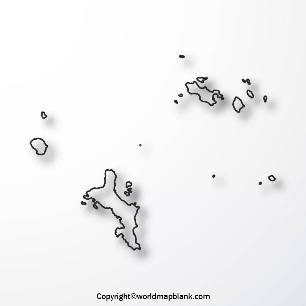

A printable blank map of Seychelles is useful for students, teachers, geography enthusiasts, and researchers who want to study the location and distribution of the country’s islands. You can use the outline map for school assignments, geography worksheets, labeling exercises, and educational presentations.
Seychelles is an island nation in the western Indian Ocean, northeast of Madagascar. The archipelago consists of 115 islands, commonly grouped into the Inner Islands and Outer Islands. The main inhabited islands include Mahé, Praslin, and La Digue.
On this page, you can explore a blank outline map, a printable map, a transparent PNG map, and a practice worksheet. PDF versions are also provided for convenient printing and offline study.
- World coronavirus map
- World geographical map
- World Map Wallpaper
- World population map
- Accurate map of World
- Ancient World map
Blank Map of Seychelles – Outline
A blank map of Seychelles helps learners understand the country’s overall geographical arrangement without the distraction of labels or additional information. It can be used as a base map for marking islands, adding geographical notes, and completing classroom exercises.

The outline is particularly useful for map-labeling practice and introductory geography activities. Depending on the detail included in the image, learners can add island names, identify the main island groups, or annotate important locations.
Printable Map of Seychelles
A printable map of Seychelles offers a convenient way to study the country’s island geography on paper. Students can print the map for school projects, classroom discussions, revision notes, or personal learning.
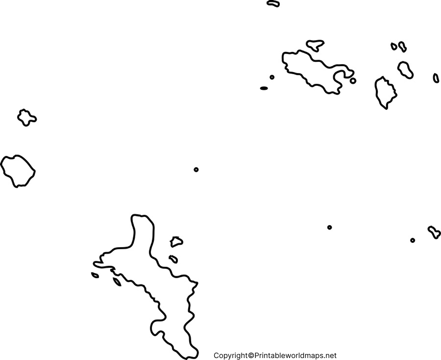
For clearer results, choose a suitable paper size and check the print preview before printing. Use the original image or PDF rather than a small screenshot, as screenshots may reduce map clarity.
A printed map can also be used to compare the locations of major islands and understand why Seychelles is geographically different from a mainland country.
Transparent PNG Seychelles Map
A transparent Seychelles PNG map can be useful for educational presentations, reports, worksheets, and other graphic projects. PNG images may preserve transparent areas when the original file has an alpha channel.
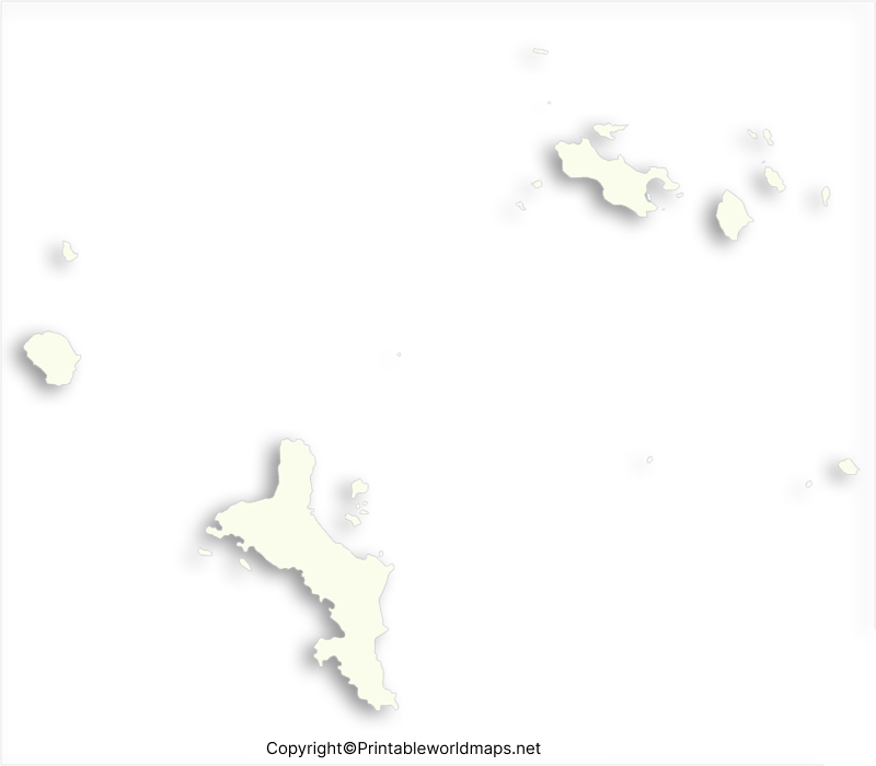
A transparent PNG can be placed over a colored background or incorporated into a presentation without a solid rectangular background, provided the image actually contains transparency. Check the file before using it in a design project.
Blank Map of Seychelles for Practice Worksheet
A blank map of Seychelles for practice gives students an opportunity to test their geographical knowledge. Teachers and learners can use the worksheet for revision, map-labeling activities, homework, and classroom assessments.
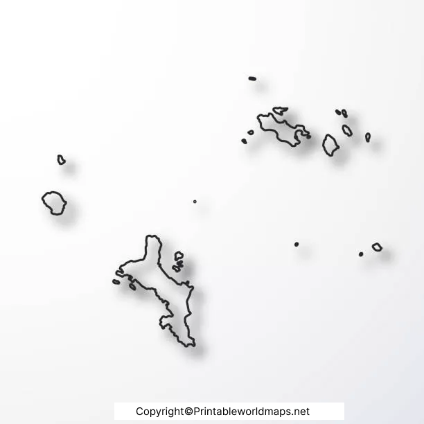
Try identifying the main islands, writing their names where the map provides enough space, and locating Seychelles in the western Indian Ocean on a separate regional map. You can repeat the exercise to improve recall and geographical understanding.
Geography Facts to Know Before Using the Map
The following facts provide useful context for interpreting a Seychelles outline map.
- Location: Seychelles is in the western Indian Ocean, northeast of Madagascar.
- Number of islands: The archipelago is widely described as consisting of 115 islands.
- Main island: Mahé is the largest island and an important centre of population and government.
- Other major inhabited islands: Praslin and La Digue are among the best-known islands.
- Island groups: The archipelago includes the Inner Islands and the more remote Outer Islands.
- Geology: Many Inner Islands are granitic, while many Outer Islands are coral-based.
- Capital: Victoria is the capital of Seychelles and is located on Mahé.
These facts help explain why a map of Seychelles may look different from a conventional map of a continuous mainland territory. The islands are distributed across a broad area of ocean, so a simple outline map may not show every island at the same level of detail.
How to Use a Blank Seychelles Map
You can use the map in several practical ways:
- For school assignments: Add island names and relevant geographical notes.
- For map-labeling practice: Identify Mahé, Praslin, and La Digue where the map’s scale and detail permit.
- For presentations: Use the transparent PNG if its background is transparent and the image license permits reuse.
- For worksheets: Print the outline and ask learners to label features or answer questions.
- For research: Use the map as a visual reference, while checking detailed locations and boundaries against authoritative geographical sources.
A blank map is an educational aid rather than a substitute for a detailed navigational or official boundary map. If you need precise coordinates, maritime boundaries, or comprehensive island information, use an authoritative geographical source.
Frequently Asked Questions
1. Where can I download a printable blank map of Seychelles?
You can download the outline map, printable map, transparent PNG map, and practice worksheet from the links provided in the relevant sections above. PNG files are convenient for viewing, while PDF files are useful for printing.
2. How many islands make up Seychelles?
Seychelles is commonly described as an archipelago of 115 islands. The islands are grouped broadly into the Inner Islands and Outer Islands.
3. What is the main island of Seychelles?
Mahé is the largest island in Seychelles. It is home to Victoria, the country’s capital, and is a major centre of population and government.
4. Can I print the blank Seychelles map for school projects?
Yes. You can use the provided map files for personal study and school activities, subject to the website’s usage terms and any applicable image licensing conditions. Check the PDF print preview to ensure that the map fits the selected paper size.
5. What is the difference between a PNG map and a PDF map?
PNG is an image format suited to viewing and inserting images into documents or presentations. PDF is a document format that is generally convenient for printing while retaining the page layout. A PNG file is transparent only if transparency is present in the original image.
6. What can I learn from a blank map of Seychelles?
A blank map can help you practise identifying islands, understanding the country’s geographical arrangement, and learning the location of Seychelles in the Indian Ocean. The amount of detail you can label depends on the map’s scale and design.
No. A blank outline map is intended primarily for education and general reference. Use official charts or authoritative mapping resources when accurate coordinates, maritime boundaries, or navigational information are required.
Reference links
https://www.seychelles.com/aboutus/aboutseychelles
https://www.nbs.gov.sc/downloads/36-data-acquisition-census
