

A Blank Map of North Macedonia is useful for students, teachers, researchers, travelers, and anyone studying the geography of the Balkans. This outline map can be used for labeling countries, identifying borders, coloring activities, geography assignments, classroom worksheets, and map-pointing exercises.
North Macedonia, officially the Republic of North Macedonia, is a landlocked country in southeastern Europe and the central Balkans. It shares international borders with Serbia, Kosovo, Bulgaria, Greece, and Albania. The country’s capital and largest city is Skopje.
A blank outline map is particularly useful because it allows users to add their own labels, cities, physical features, neighboring countries, rivers, mountains, and other geographic information.
- World coronavirus map
- World geographical map
- World Map Wallpaper
- World population map
- Accurate map of World
- Ancient World map
Blank Map of North Macedonia – Outline
The Blank Map of North Macedonia provides a simple country outline without requiring users to work from a heavily labeled political map. It can be printed and used for geography practice, classroom activities, coloring, country identification, and educational projects.
North Macedonia’s neighboring countries are:
- Serbia – north
- Kosovo – north and northwest
- Bulgaria – east
- Greece – south
- Albania – west
North Macedonia covers approximately 25,713 square kilometers and is a completely landlocked country. Government information describes the country as a mountainous and valley landscape, with an average elevation of about 875 meters.

The outline version is suitable for printing, labeling, coloring, and geography exercises. Students can use it to mark neighboring countries and important geographic features.
The Blank Map of North Macedonia can also be useful for creating custom worksheets. Teachers can ask students to identify the country’s location in Europe, label its neighbors, mark Skopje, or add major physical features.
Printable Map of North Macedonia

A Printable Map of North Macedonia can be used for school assignments, geography lessons, travel planning, presentations, and reference material.
For classroom use, a printable map can be combined with questions such as:
- Which countries border North Macedonia?
- What is the capital city?
- Which country is located south of North Macedonia?
- Which neighboring country lies to the east?
- Where is North Macedonia located within the Balkans?
These activities turn a simple map into an interactive geography worksheet.
Transparent PNG North Macedonia Map
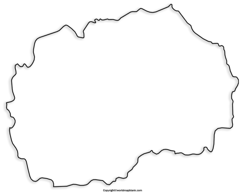
A Transparent PNG North Macedonia Map can be useful when creating presentations, educational graphics, websites, worksheets, and other digital projects where the map needs to be placed over another background.
A transparent map can also be useful for designers and educators who want to add labels, colors, arrows, symbols, or geographic information without placing the map on a solid rectangular background.
Blank Map of North Macedonia for Practice Worksheet
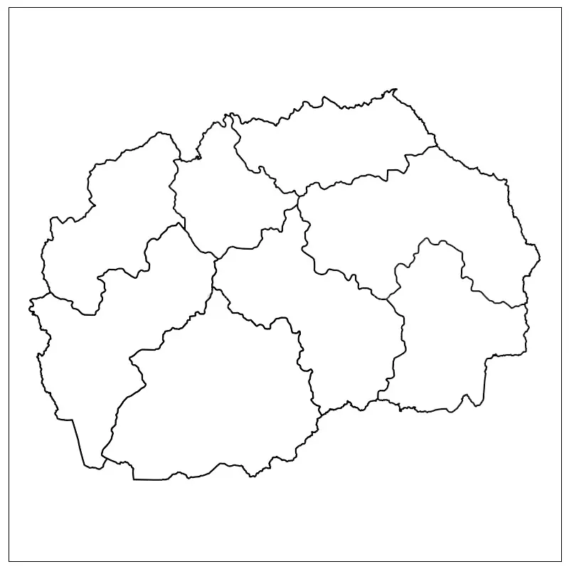
A Blank Map of North Macedonia for Practice Worksheet can help students develop basic map-reading and geographic identification skills.
Possible exercises include:
- Label North Macedonia’s neighboring countries.
- Mark Skopje, the capital.
- Identify the country’s position in southeastern Europe.
- Add major cities to the blank map.
- Mark important mountains, rivers, and lakes.
- Color the country and its neighboring states.
- Use a compass to identify north, south, east, and west.
- Compare North Macedonia with neighboring Balkan countries.
For younger students, the map can be used as a coloring and identification activity. For older students, it can support research projects and more detailed geographic analysis.
North Macedonia Geography Facts
The following facts provide useful context when using a Blank Map of North Macedonia:
| Fact | Information |
|---|---|
| Official name | Republic of North Macedonia |
| Region | Southeastern Europe / Balkans |
| Capital | Skopje |
| Area | Approximately 25,713 km² |
| Country type | Landlocked |
| Borders | Serbia, Kosovo, Bulgaria, Greece, Albania |
| Main river | Vardar River |
| Highest point | Golem Korab |
| Major lake | Lake Ohrid |
| Administrative regions | 8 statistical regions |
| Municipalities | 80 |
The State Statistical Office identifies eight statistical regions and 80 municipalities within the country’s territorial organization.
Skopje and North Macedonia
Skopje is the capital and largest city of North Macedonia. It lies in the northern part of the country along the Vardar River and serves as an important administrative, economic, cultural, educational, and scientific center.
The 2021 census reported 526,502 inhabitants for the city of Skopje. Statistical Office North Macedonia
Mountains, Lakes, and Rivers
North Macedonia has a predominantly mountainous and valley landscape. One of its best-known geographic features is the Vardar River, which flows through the country from north to south.
The country is also known for Lake Ohrid, one of the major natural features of the southwestern Balkans. The mountainous landscape and valleys make physical geography an important part of studying North Macedonia.
North Macedonia Location in Europe
North Macedonia is located in the Balkan Peninsula in southeastern Europe. Its position makes it geographically connected with several neighboring Balkan countries.
The country lies between approximately 40°51′ and 42°22′ north latitude and 20°27′ and 23°02′ east longitude, according to North Macedonian government environmental documentation.
Using a Blank Map of North Macedonia alongside a map of Europe can help students understand its position relative to Greece, Albania, Bulgaria, Serbia, and Kosovo.
Why Use a Blank Map of North Macedonia?
A blank outline map is useful for more than simple coloring. It can support:
- Geography education
- Country and border identification
- School worksheets
- Map-labeling exercises
- History projects
- Balkan geography lessons
- Presentation graphics
- Research projects
- Travel and regional orientation
- Geography quizzes
Because the map does not contain excessive labels, students can add information themselves and test their geographic knowledge.
Blank Map of North Macedonia for Students and Teachers
Teachers can print the Blank Map of North Macedonia and create customized classroom exercises. For example, students can first identify the country and then add its neighboring countries from memory.
A more advanced worksheet could ask students to mark:
- Skopje
- Vardar River
- Lake Ohrid
- Major mountain ranges
- International borders
- Major cities
- Regional locations
The State Statistical Office also publishes geographic and statistical resources based on the 2021 Census, including thematic maps covering demographic, economic, educational, and other characteristics.
Historical and Naming Context
North Macedonia became independent from Yugoslavia in 1991. The country previously used the constitutional name Republic of Macedonia. Following the Prespa Agreement with Greece, the country’s official name became Republic of North Macedonia in February 2019.
This naming history can be relevant when students compare older maps, historical maps, and modern maps of the Balkans.
How to Use the Blank Map
You can use the Blank Map of North Macedonia in several simple ways:
For students: Print the outline and label the five neighboring countries.
For teachers: Turn the map into a classroom worksheet by removing or adding labels.
For researchers: Use the outline as a base for adding geographic or statistical information.
For presentations: Use a transparent PNG to place the country’s outline over a custom background.
For projects: Combine the map with facts about cities, rivers, mountains, climate, population, and neighboring countries.
Frequently Asked Questions
What is a Blank Map of North Macedonia?
A Blank Map of North Macedonia is an outline map of the country without extensive geographic labels. It can be used for studying, labeling, coloring, worksheets, and geography projects.
What countries border North Macedonia?
North Macedonia shares borders with Serbia, Kosovo, Bulgaria, Greece, and Albania.
What is the capital of North Macedonia?
The capital and largest city of North Macedonia is Skopje. It is located in the northern part of the country along the Vardar River.
Is North Macedonia landlocked?
Yes. North Macedonia is a landlocked country in southeastern Europe and has no coastline.
What is the area of North Macedonia?
North Macedonia covers approximately 25,713 square kilometers.
What is North Macedonia known for geographically?
North Macedonia is characterized by mountains, valleys, rivers, and lakes. Lake Ohrid and the Vardar River are among its notable geographic features.
Where is North Macedonia located?
North Macedonia is located in southeastern Europe in the Balkan Peninsula, bordered by five countries.
What is the highest mountain in North Macedonia?
Golem Korab, on the border with Albania, is the highest point in North Macedonia, reaching approximately 2,764 meters above sea level.
Can I use a blank map for a school worksheet?
Yes. A blank outline can be used for labeling countries, cities, rivers, mountains, lakes, and other geographic features.
Where can I find official North Macedonia geographic data?
The State Statistical Office of the Republic of North Macedonia provides official census, regional, demographic, and geographic statistics. Its 2021 Census resources include thematic maps and statistical data.
Reference links
https://www.stat.gov.mk/Aktivnosti_en.aspx?rbra=331
https://www.stat.gov.mk/PrikaziPublikacija_en.aspx?id=89&rbr=868
https://www.stat.gov.mk/PrikaziPublikacija_en.aspx?id=32&rbr=898
https://skopje.gov.mk/en_us/footer/fakti-simboli
https://zdravstvo.gov.mk/wp-content/uploads/2024/03/6.1-Publication-NAPHS_WEB_ENG_Final.pdf
