

A blank map of North Korea is a useful resource for students, teachers, researchers, and geography enthusiasts who want to study the country’s location, boundaries, coastline, and physical features. These printable maps are available in outline, PDF, and transparent PNG formats for classroom activities, geography assignments, presentations, and map-labeling practice.
Whether you need a simple North Korea outline map or a blank worksheet for educational purposes, this collection provides different formats to suit your needs. You can print the maps, label important locations, identify neighboring countries, and improve your understanding of the Korean Peninsula.
- World coronavirus map
- World geographical map
- World Map Wallpaper
- World population map
- Accurate map of World
- Ancient World map
Blank Map of North Korea – Outline
A blank map of North Korea provides an outline of the country’s shape without requiring you to rely on a fully labeled political map. It is useful for practicing geographical identification, marking boundaries, and learning the country’s position in East Asia.
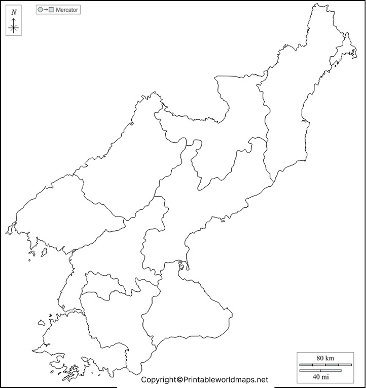
You can use this outline map for school assignments, geography quizzes, map-drawing exercises, and educational presentations. Students can label the country’s capital, neighboring countries, surrounding seas, and important physical features where appropriate.
For accurate geographical information, compare the outline with a reliable reference map before adding labels or using it for research.
Printable Map of North Korea
A printable map of North Korea is suitable for lessons, revision, worksheets, and geography projects. A printed map gives learners a practical way to identify the country’s shape and understand its location within East Asia.

For the best printing results, select the paper size supported by your printer, use portrait or landscape orientation according to the map’s proportions, and choose a clear print setting. Check the preview before printing to ensure that the map is not cropped.
If you are preparing a classroom worksheet, leave enough space around the map for students to write labels, add symbols, and answer geography questions.
Transparent PNG North Korea Map
A transparent PNG North Korea map is useful when you need to place the country’s outline over another background. Unlike a typical image with a solid background, a genuinely transparent PNG can be layered over presentations, educational graphics, diagrams, and other compatible designs.
For digital projects, check the image against a contrasting background to confirm that transparency is preserved. Some image previews display transparent areas as white, so the preview alone may not reveal whether the file contains an alpha channel.
Use this map for educational slides, geography illustrations, and non-commercial design projects, subject to the applicable image licensing terms.
Blank Map of North Korea for Practice Worksheet
A blank map of North Korea for practice is a useful learning aid for students who want to test their geographical knowledge. Teachers can use the outline to create labeling exercises, revision sheets, quizzes, and classroom assessments.
Suggested map practice activities
- Mark North Korea’s capital, Pyongyang.
- Label China and Russia to the north and northwest, and South Korea to the south.
- Identify the Yellow Sea to the west and the Sea of Japan, also called the East Sea in Korean usage, to the east.
- Locate the Yalu (Amnok) and Tumen (Tuman) rivers along sections of the northern border.
- Compare the blank outline with a labeled reference map and correct any mistakes.
These activities help students practice map reading, spatial awareness, and the relationship between political boundaries and physical geography.
North Korea Geography: Important Facts
North Korea, officially known as the Democratic People’s Republic of Korea (DPRK), occupies the northern part of the Korean Peninsula in East Asia. Its geography includes mountainous interior regions, valleys, rivers, and coastal areas.
Here are some useful facts to consider when labeling a blank map of North Korea:
- Capital: Pyongyang.
- Region: East Asia.
- Neighboring countries: China, Russia, and South Korea.
- Western waters: Yellow Sea and Korea Bay.
- Eastern waters: Sea of Japan, also known as the East Sea in Korean usage.
- Important rivers: Yalu (Amnok) River and Tumen (Tuman) River.
- Highest mountain: Paektu-san (Mount Paektu), approximately 2,744 metres above sea level.
- Terrain: Much of the interior is mountainous or hilly, with coastal plains particularly prominent in the west.
For country area and other statistical details, consult a current authoritative reference, because published territorial figures can differ depending on the source and measurement method.
How to Use a Blank Map of North Korea
A blank map can be used in several practical ways:
For students: Practice identifying the country’s location, neighboring countries, capital, rivers, and surrounding bodies of water.
For teachers: Prepare printable classroom exercises, geography tests, revision materials, and map-labeling assignments.
For researchers: Use an outline as a starting point for educational illustrations or thematic maps, then add verified data and appropriate labels.
For presentations: Use a transparent PNG, when available, to layer the country’s outline over a regional map or a presentation background.
For self-study: Print a blank outline, complete it without looking at a reference, and compare your answers with a reliable labeled map.
Remember that a blank outline alone does not show every geographical feature or administrative boundary. Use a suitable labeled reference map when precision matters.
Tips for Printing and Downloading North Korea Maps
Before downloading or printing a map, choose the format that fits your intended use.
- PNG: Suitable for viewing, digital worksheets, and compatible design applications.
- PDF: Convenient for printing and sharing while preserving page layout.
- Transparent PNG: Useful for layering over backgrounds if transparency is present in the original file.
- Practice worksheet: Best suited to exercises, labeling, and classroom revision.
Open the file before printing, check its resolution, and confirm that all borders and map details are visible. For formal research or publication, verify the map’s date, projection, boundary representation, and licensing information.
Frequently Asked Questions
1. Where can I download a blank map of North Korea?
You can download the outline map and practice worksheet from the PNG and PDF links provided above. Choose the format that best suits your assignment or printing requirements.
2. Is a printable North Korea map available in PDF format?
Yes. PDF versions of the outline map, printable map, and practice worksheet are linked in their respective sections above.
3. What is a blank map of North Korea used for?
It is commonly used for geography lessons, map-labeling exercises, classroom quizzes, research illustrations, and educational presentations.
4. What is the capital of North Korea?
Pyongyang is the capital of North Korea.
North Korea shares land borders with China, Russia, and South Korea.
6. Which seas surround North Korea?
The Yellow Sea and Korea Bay lie to the west, while the Sea of Japan, also called the East Sea in Korean usage, lies to the east.
7. What is the difference between a PNG map and a PDF map?
PNG is an image format suitable for digital use, while PDF is a document format convenient for printing and sharing. A PNG has a transparent background only if transparency is included in the actual image file.
8. Can students use a blank North Korea map for school projects?
Yes. Students can label neighboring countries, the capital, rivers, and surrounding waters, then compare their work with a reliable geographical reference.
9. How can I check whether a North Korea map is accurate?
Compare it with authoritative cartographic references, such as the CIA’s North Korea map collection. Check the map’s publication date, boundaries, labels, and intended scale before using it for research.
Reference links
https://www.cia.gov/resources/map/north-korea
https://data.un.org/en/iso/kp.html
https://www.esa.int/Applications/Observing_the_Earth/Earth_from_Space_Korean_Peninsula
