
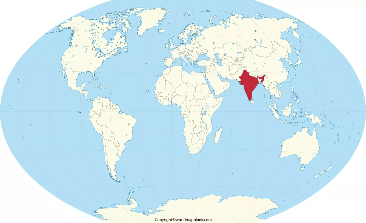

India on World Map is easy to identify because the country occupies a prominent position in South Asia. This guide shows the location of India on a world map globe, its neighboring countries, surrounding seas, and printable India map images in PDF format. Students, teachers, travelers, and geography enthusiasts can use these maps to understand India’s position in the world.
Explore the map images below, download the available PDF files, and use them for geography lessons, classroom activities, or personal study.
- World coronavirus map
- World geographical map
- World population map
- Accurate map of World
- Ancient World map
- World Map Wallpaper
India on World Map Globe
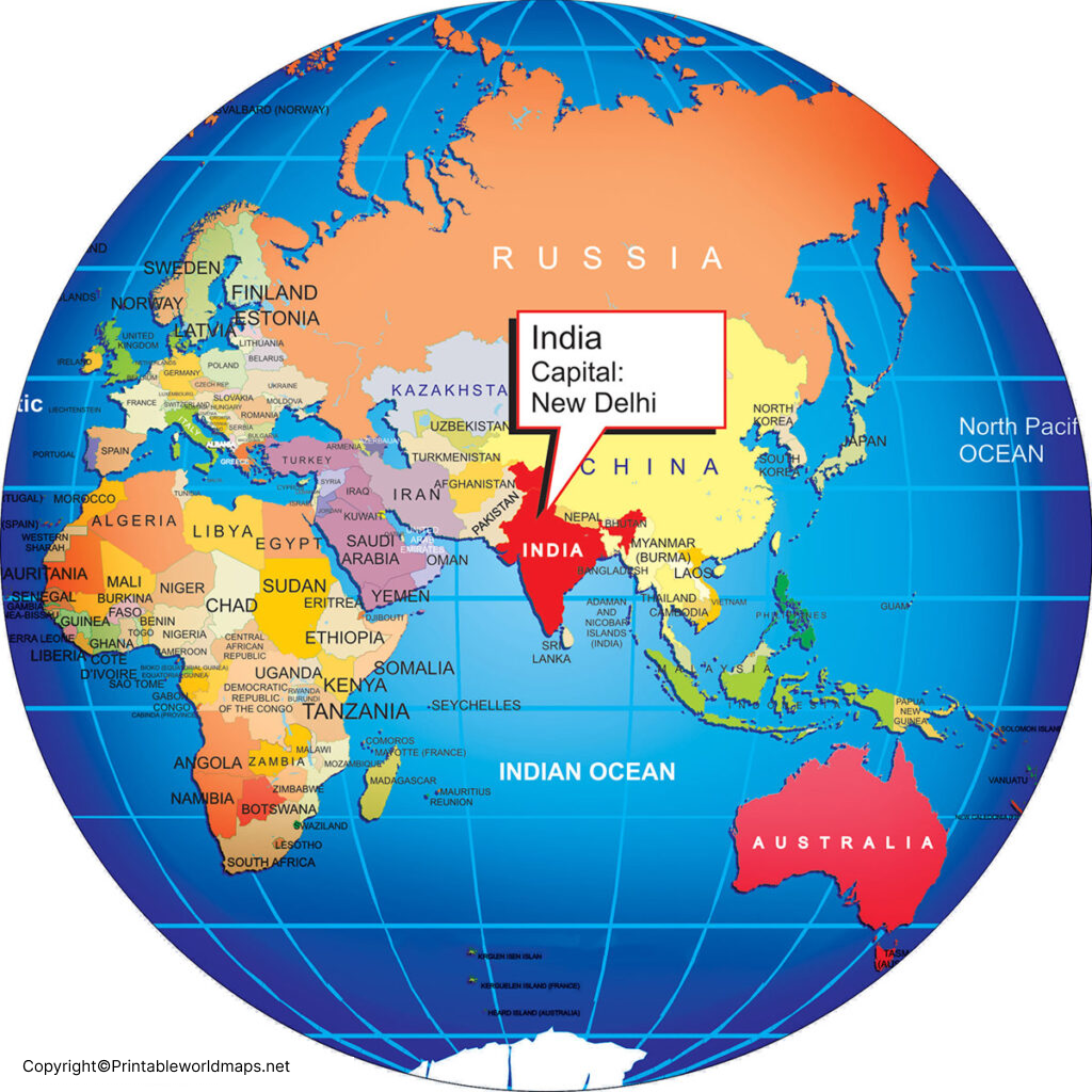
India is located in Southern Asia, also commonly called South Asia. It lies entirely in the Northern Hemisphere and extends into the eastern part of the world. On a world map, India is south of the Himalayan mountain range, west of Myanmar and Bangladesh, and north of the Indian Ocean.
India’s geographical position connects the country with Central, East, and Southeast Asian regions through surrounding land and maritime routes. The Arabian Sea lies to its west, while the Bay of Bengal lies to its east. The Indian Ocean is located to the south.
The printable map above helps readers recognize India’s position relative to other parts of the world. Use it as a visual reference when studying continents, oceans, countries, and international geography.
India Location on World Map
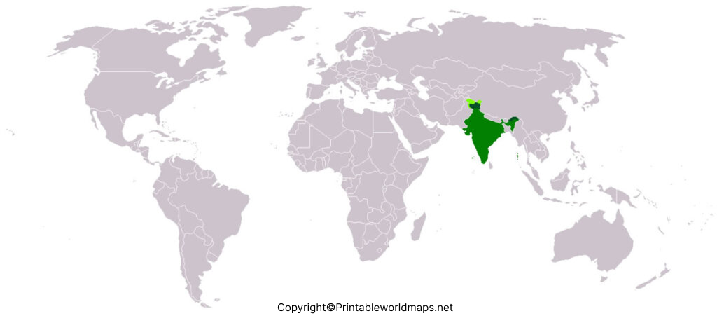
India is part of the Asian continent and is one of the world’s largest countries by geographical area. Its central position in the Indian subcontinent makes it an important reference point when learning about South Asia.
India’s approximate mainland geographical extent is:
- Latitude: 8°4′ N to 37°6′ N
- Longitude: 68°7′ E to 97°25′ E
- Capital: New Delhi
- Region: Southern Asia
- Total geographical area: Approximately 3.28 million square kilometres
These coordinates describe the approximate extent of mainland India. The country’s island territories extend farther into the surrounding seas.
When studying the world map, look for the triangular shape of the Indian peninsula extending south into the Indian Ocean. This distinctive outline makes India easier to identify among the countries of Asia.
Printable India World Map Template
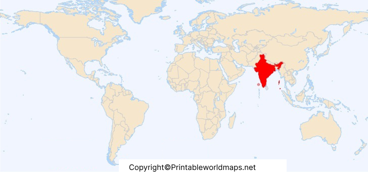
A printable India world map template is useful for learning the country’s position, recognizing its outline, and comparing its location with neighboring countries. Depending on the map design, it may highlight India’s location or show its political boundaries.
Students can print the map for classroom exercises, geography assignments, and revision. Teachers can also use it to explain the relationship between India, Asia, and nearby oceans.
Before printing, open the PDF and check the page orientation and print preview. Choose a suitable paper size and enable fit-to-page scaling if necessary. This helps prevent important map details from being cut off.
Map-use tip: Check whether the map includes country labels, borders, a legend, and a scale. These features help readers understand what the map represents and whether it is suitable for their intended activity.
World India Map
The World India Map provides another visual resource for learning about India’s geographical position. Use the image to locate India within Asia and understand how the country relates to nearby land areas and surrounding water bodies.
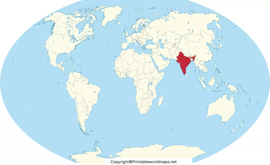
Printable maps can support individual study, school projects, and group learning activities. For more detailed work, compare a world map with a political map of India or a map showing neighboring countries.
Remember that not every world map has the same level of detail. A small-scale world map is best for understanding India’s global location, while a larger-scale regional map is more appropriate for examining state boundaries, cities, and local geographical features.
7 Interesting Facts About India’s Location
1. India is in Southern Asia
The United Nations classifies India within the Southern Asia region. It is part of the Asian continent and the Indian subcontinent.
2. India lies in the Northern and Eastern Hemispheres
India is north of the Equator and east of the Prime Meridian. Its geographical coordinates help cartographers locate the country accurately on a globe or map.
3. Three major water bodies surround the peninsula
The Arabian Sea is to the west, the Bay of Bengal is to the east, and the Indian Ocean is to the south. These waters are important features of India’s physical geography.
4. The Himalayas lie to the north
The Himalayan mountain system forms a major geographical feature along India’s northern region. It influences the landscape, river systems, climate, and connections with neighboring areas.
5. India has several neighboring countries
India shares land borders with Bangladesh, Bhutan, China, Myanmar, Nepal, and Pakistan. India’s official geographical descriptions also refer to Afghanistan in the northwest in the context of its claimed territory. Sri Lanka is a nearby island country separated from India by the Palk Strait and Gulf of Mannar.
6. India has island territories
Lakshadweep lies in the Arabian Sea, while the Andaman and Nicobar Islands lie in the Bay of Bengal and adjoining waters. These islands are part of India’s geographical territory.
7. India is the world’s seventh-largest country by area
India covers approximately 3.28 million square kilometres, placing it seventh in the world by total geographical area according to commonly used official country statistics.
Neighboring Countries of India on the World Map
A map of India and its neighboring countries helps readers understand the country’s land borders and regional position.
The countries sharing land borders with India include:
- Pakistan: To the northwest and west.
- China: To the north.
- Nepal: Along the northern region.
- Bhutan: Northeast of India.
- Bangladesh: Along India’s eastern region.
- Myanmar: To the east.
Afghanistan is included in some official Indian descriptions of neighboring countries because of India’s territorial claim in the northwest. For a map-reading exercise, consult the map’s source and boundary conventions.
Sri Lanka and the Maldives are nearby countries in the Indian Ocean region, but neither shares a land border with India.
For authoritative map information, consult the Survey of India, which publishes official maps and geographical resources.
How to Download and Print the India World Map PDF
Follow these steps to use the printable India map resources on this page:
- Choose the map image or PDF link that best fits your requirements.
- Open the PDF in your browser or a PDF reader.
- Select the download option to save the file to your device.
- Open the downloaded document and check its page size and orientation.
- Select Print, choose your paper size, and adjust the scaling before printing.
For school assignments, a labeled map can help with identifying India and its surrounding countries. For practice exercises, an outline map may be more useful because students can label locations themselves.
Always check the individual map before using it in a formal report or publication. The available map images may differ in labels, boundaries, scale, and update date.
Why Use a Printable India World Map?
A printable map provides a convenient way to study India’s location without relying entirely on a digital screen. It can be useful for:
- Students: Learn India’s position in Asia and practice identifying surrounding countries.
- Teachers: Prepare geography worksheets and classroom activities.
- Parents: Help children learn continents, oceans, and country locations.
- Travel enthusiasts: Understand India’s position in relation to neighboring regions.
- Geography learners: Compare world maps with regional and political maps.
For detailed geographical research, use an authoritative map alongside the printable resources on this page.
Frequently Asked Questions
Where is India located on the world map?
India is located in Southern Asia. It lies in the Northern and Eastern Hemispheres, with the Arabian Sea to the west, the Bay of Bengal to the east, and the Indian Ocean to the south.
Can I download an India world map in PDF format?
Yes. The map sections above provide links to available PDF files. Open a PDF link to view or download the corresponding map.
What is the capital of India?
New Delhi is the capital of India.
Which continent is India in?
India is in Asia, specifically the Southern Asia region.
India shares land borders with Bangladesh, Bhutan, China, Myanmar, Nepal, and Pakistan. Official Indian descriptions also include Afghanistan in the context of India’s territorial claim in the northwest.
Is Sri Lanka a neighboring country of India?
Yes. Sri Lanka is a nearby island country separated from India by the Palk Strait and Gulf of Mannar. It does not share a land border with India.
What are the approximate geographical coordinates of India?
India’s mainland extends approximately from 8°4′ N to 37°6′ N latitude and from 68°7′ E to 97°25′ E longitude.
Is India the largest country in the world?
No. India is the seventh-largest country by total geographical area. It is important to distinguish geographical area rankings from population rankings.
How can I print an India map for schoolwork?
Open one of the PDF links above, download the file, and print it using a suitable paper size. Check the print preview to ensure the map fits on the page.
Reference links
https://surveyofindia.gov.in/pages/india-and-adjacent-countries
https://www.eoiminsk.gov.in/page/factsheet-on-india
