

Explore the blank map of Yukon with printable outline maps, PNG images, PDF downloads, and practice worksheets. These resources are useful for students, teachers, parents, and geography enthusiasts who want to study Yukon’s location, boundaries, physical features, and neighboring regions.
Yukon is a territory in northwestern Canada, bordering Alaska in the United States, British Columbia to the south, and the Northwest Territories to the east. Its capital is Whitehorse. The territory is known for its mountainous landscapes, glaciers, rivers, lakes, forests, and northern wilderness.
A blank map of Yukon can help learners identify its shape, practice labeling important locations, and understand its position within Canada. Choose the map format that best suits your classroom assignment, homework, research, or personal learning needs.
Blank Map of Yukon – Outline
A blank outline map of Yukon shows the territory’s general shape and boundaries without requiring learners to rely on pre-filled labels. It is a practical starting point for studying Yukon’s geography.
Use an outline map to:
- Practice drawing and recognizing Yukon’s territorial boundaries.
- Label Whitehorse and other communities when using a suitable reference map.
- Identify neighboring territories, provinces, and Alaska.
- Complete geography assignments, classroom activities, and revision worksheets.
- Compare Yukon’s location with other parts of northern Canada.
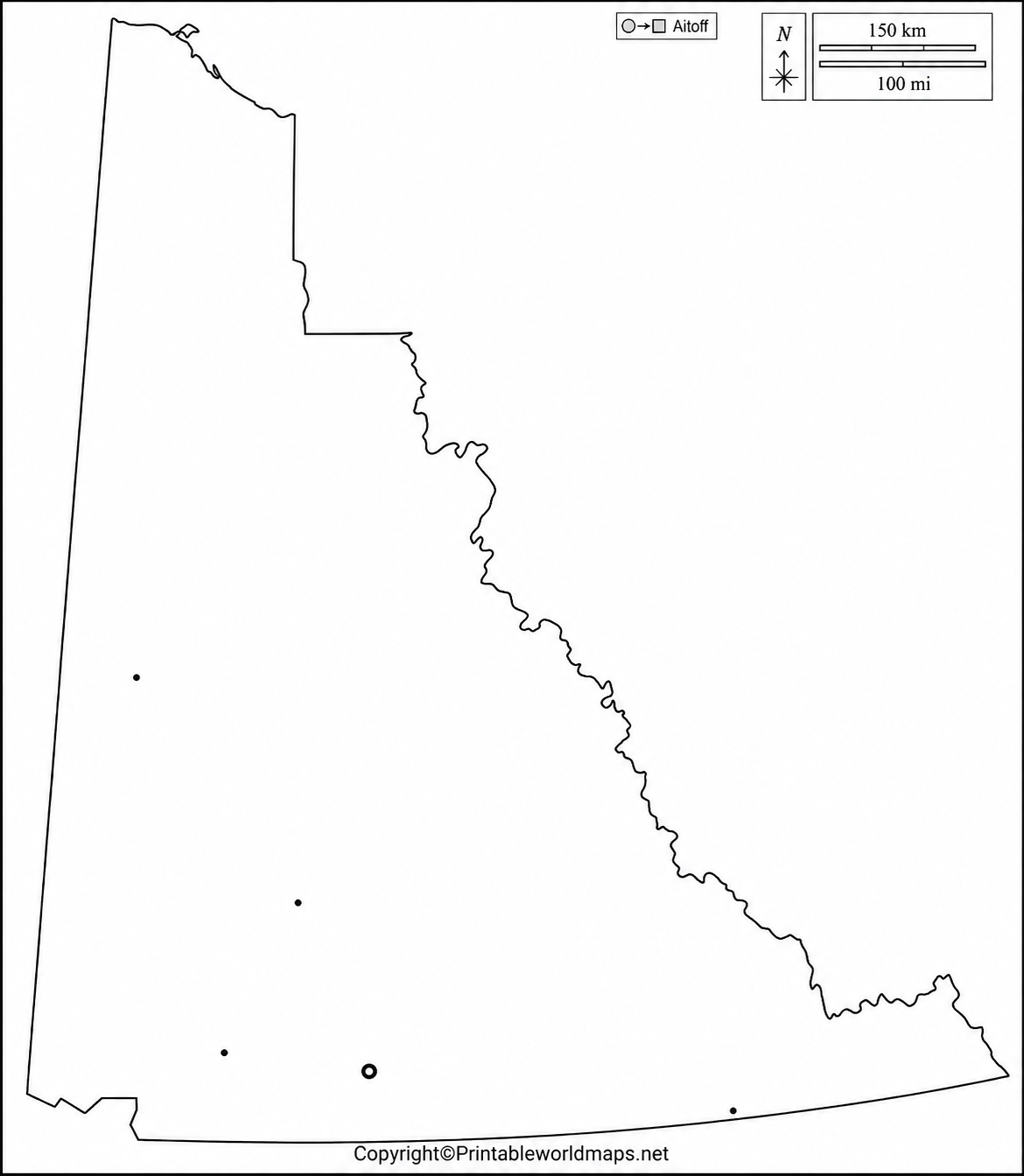
For additional geographic detail, Natural Resources Canada provides official reference maps showing Yukon’s boundaries, major lakes, rivers, and selected geographic features. These can be used to check labels and improve the accuracy of school or research work.
Printable Map of Yukon
A printable map of Yukon is useful for learning about the territory’s location, boundaries, capital, communities, and surrounding regions. Depending on the version, a map may include geographic labels or leave space for learners to add their own.
The printable map provided here can be used for school projects, geography lessons, homework, and general reference. Before printing, open the image or PDF and check that the map fits the page properly.

For best results, select a suitable paper size in your printer settings and use landscape or portrait orientation according to the map’s proportions. A PDF is often convenient for printing, while a PNG can be useful for digital worksheets and presentations.
Blank Map of Yukon for Practice Worksheet
A blank map of Yukon can turn geography study into an active learning exercise. Instead of simply reading about the territory, students can use the map to recall locations, practice labels, and test their understanding.

How to use the Yukon map worksheet
- Locate Yukon on a reference map of Canada.
- Mark Whitehorse, the territorial capital.
- Label Alaska, British Columbia, and the Northwest Territories in their correct relative positions.
- Add major rivers, lakes, or mountain features if the worksheet is designed for physical geography.
- Compare your completed worksheet with a reliable reference map and correct any mistakes.
Teachers can use the worksheet for classroom exercises, quizzes, and group activities. Parents can also use it to help children revise Canadian geography at home.
For more challenging activities, ask learners to explain how Yukon’s location in northwestern Canada influences its climate, settlement patterns, transportation, and natural environment.
Transparent PNG Yukon Map
A transparent PNG Yukon map is useful when you want to place the territory’s outline over another image, a presentation background, a digital worksheet, or a map of Canada.
Unlike an ordinary image with a solid background, a properly prepared transparent PNG contains an alpha channel that allows the background to show through transparent areas. However, transparency depends on how the individual image was created and exported.

To check whether the PNG has transparency, open it in an image editor or place it over a colored background. A PDF version may be more convenient for printing, but its background and transparency behavior can differ from the PNG version.
Transparent map images can be useful for educational presentations, map comparisons, graphic design projects, and geographic illustrations. For academic or professional work, verify the map’s source, scale, labels, and permitted use before relying on it.
Yukon Geography: Important Facts to Know
Understanding a few basic facts makes a blank map of Yukon more useful for learning.
| Geographic detail | Fact |
|---|---|
| Country | Canada |
| Administrative status | Territory |
| Capital | Whitehorse |
| Location | Northwestern Canada |
| Neighbors | Alaska, British Columbia, and the Northwest Territories |
| Total area | Approximately 483,450 square kilometres, including freshwater |
| Major geographic features | Mountains, rivers, lakes, glaciers, and extensive wilderness |
Source: Government of Canada territorial information and Natural Resources Canada reference maps.
Yukon is the smallest of Canada’s three territories by total area. Its geography includes rugged mountain ranges, broad valleys, large river systems, and remote communities. The territory also contains part of the Saint Elias Mountains, including Mount Logan, Canada’s highest mountain.
English and French are the territory’s official languages. Yukon is also home to First Nations communities whose Indigenous languages and cultural traditions are an important part of the territory’s heritage.
These facts can help students understand why maps of Yukon are useful not only for identifying boundaries but also for exploring landforms, settlement, transportation, and regional relationships.
How to Read and Use a Blank Map of Yukon
A blank map is most effective when learners know what to look for. Begin with the outer boundary, then add features according to the purpose of the activity.
1. Identify the territory’s location
Find Yukon in the northwestern part of Canada. Use a map of Canada to understand its position relative to British Columbia, the Northwest Territories, and Alaska.
2. Mark the capital
Locate Whitehorse using a reliable labeled reference map. The capital provides a useful starting point for learning about Yukon’s communities and transportation routes.
3. Study physical geography
Use a physical or topographic reference map to identify mountains, rivers, lakes, and elevation patterns. A simple blank outline may not include these features, so consult a suitable reference before adding labels.
4. Choose the right format
- PNG: Useful for digital documents, presentations, and image editing.
- PDF: Convenient for printing and distributing worksheets.
- Blank outline: Best for drawing, labeling, and recall exercises.
- Labeled reference map: Best for checking names, locations, and geographic details.
5. Check the map before using it
Compare the map with an authoritative reference, particularly if it will be used in a graded assignment, publication, or research project. Check the date, scale, labels, boundary details, and source.
Yukon Map Resources for Further Study
For more detailed geographic information, Natural Resources Canada provides reference maps of Yukon, including political maps and outline maps with and without geographic names.
The Government of Yukon also provides access to topographic mapping resources. These are useful when a basic printable outline does not contain enough detail for a more advanced assignment.
Official references:
- Natural Resources Canada: Reference maps of Yukon.
- Government of Yukon: Topographic maps for Yukon and surrounding areas.
- Government of Canada: Information about Yukon and Canada’s territories.
These resources can help verify place names and physical features and provide a reliable basis for more detailed geography exercises.
Frequently Asked Questions About the Blank Map of Yukon
1. Where can I download a blank map of Yukon?
You can download the blank outline map from the PNG or PDF links in this article. The PNG is suitable for digital use, while the PDF is convenient for printing.
2. Can I print the Yukon map for school assignments?
Yes. You can use the available printable maps for geography homework, classroom exercises, and revision activities. Check the file’s quality and any applicable usage restrictions before distributing it.
3. What is the capital of Yukon?
Whitehorse is the capital of Yukon, a territory in northwestern Canada.
4. Which regions border Yukon?
Yukon borders Alaska to the west, British Columbia to the south, and the Northwest Territories to the east.
5. What is the difference between a blank outline map and a labeled map?
A blank outline map emphasizes the territory’s shape and boundaries, leaving space for learners to add information. A labeled map includes place names or geographic features to help readers identify locations.
6. What is a transparent PNG Yukon map used for?
A transparent PNG can be placed over different backgrounds in digital worksheets, presentations, and graphic design projects, provided the downloaded image actually contains transparency.
7. Where can I find an official map of Yukon?
Natural Resources Canada publishes Yukon reference maps, including outline maps with and without names. These maps are useful for checking boundaries, major lakes, rivers, and other geographic features.
8. What geographic features can I study using a Yukon map?
Depending on the map’s detail, you can study territorial boundaries, neighboring regions, communities, rivers, lakes, mountain ranges, and other physical features. Use a labeled or topographic map when these details are not shown on the blank version.
Reference links
https://natural-resources.canada.ca/maps-tools-publications/maps/atlas-canada/reference-maps
https://yukon.ca/en/statistics-and-data/mapping/find-topographic-maps-yukon-and-surrounding-areas
https://www.canada.ca/en/canadian-heritage/services/provincial-territorial-symbols-canada/yukon.html
