

The Blank Map of Manitoba is a useful resource for students, teachers, homeschoolers, researchers, and anyone studying the geography of Manitoba, Canada. This page provides printable Manitoba map resources in several formats, including blank outline maps, printable maps, practice worksheets, transparent PNG maps, and PDF files.
Manitoba is one of Canada’s 10 provinces and is located in the country’s longitudinal center. It borders Saskatchewan to the west, Ontario to the east, Nunavut to the north, and the U.S. states of North Dakota and Minnesota to the south. Winnipeg is the provincial capital and largest city.
These Blank Map of Manitoba resources can be used for geography assignments, classroom activities, map-labeling exercises, presentations, and independent learning.
- World Map with Continents
- Labeled Map of South America
- Labeled Map of Africa
- Political World Map
- Blank Map of World
- World Map with oceans
- World Map Poster
- Labeled Map of Europe
- Labeled Map of Africa
- Blank Map of Asia
- World Time Zone Map
- Labeled Map of World
- Physical World Map
Quick Facts About Manitoba
| Fact | Details |
|---|---|
| Country | Canada |
| Province | Manitoba |
| Capital | Winnipeg |
| Largest city | Winnipeg |
| Region | Prairie Provinces |
| Area | Approximately 647,797 km² |
| Population | More than 1.5 million people |
| Official languages | English and French have constitutional status in Manitoba |
| Major geographic features | Hudson Bay, Lake Winnipeg, Lake Manitoba, Lake Winnipegosis |
| Southern neighbours | North Dakota and Minnesota, United States |
Manitoba has a diverse landscape that includes prairie, boreal forest, wetlands, lakes, and northern tundra. Its geography makes it a useful province to study when learning about Canada’s physical regions.
Blank Map of Manitoba – Outline
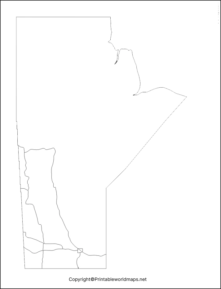
The Blank Map of Manitoba outline is designed for learning, drawing, labeling, and geography practice. An outline map removes many labels and allows students to identify locations themselves.
The shape of Manitoba is particularly useful for practicing provincial geography because the province extends from the southern Canadian Prairies to the shores of Hudson Bay.
Students can use the blank outline to:
- Practice drawing the shape of Manitoba
- Label major cities and towns
- Mark major lakes and rivers
- Identify neighbouring provinces and states
- Complete geography assignments
- Prepare for geography tests
- Create classroom presentations
- Practice map-reading skills
How to Use the Blank Manitoba Map
A simple way to use the Blank Map of Manitoba is to print it and add geographic information manually. For example, students can mark Winnipeg, Hudson Bay, Lake Winnipeg, Lake Manitoba, Lake Winnipegosis, and the province’s surrounding jurisdictions.
For younger students, the map can be used as a coloring and labeling activity. Older students can use it to study physical geography, political boundaries, transportation routes, and settlement patterns.
Printable Map of Manitoba
The Printable Map of Manitoba is suitable for students, teachers, classrooms, homeschooling, and general geography reference.
A printable map can be downloaded and printed on standard paper for assignments or classroom activities. Depending on the map version, users can study Manitoba’s major geographic features and use the map as a reference while completing exercises.
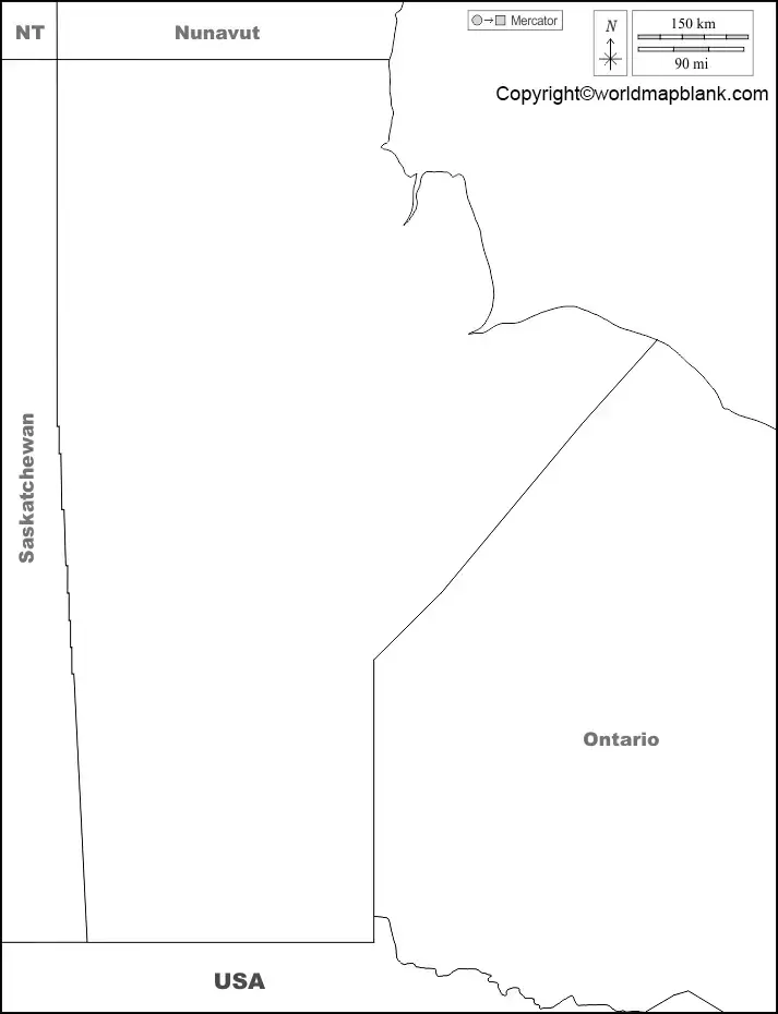
Printable Manitoba Map Uses
You can use a printable Manitoba map for:
- School geography projects
- Classroom worksheets
- Homeschool geography lessons
- Map-labeling activities
- Province identification exercises
- Geography quizzes
- Travel and regional reference
- Educational presentations
For best printing results, download the PDF version when available because PDF files generally preserve page layout and print quality better than screenshots or compressed web images.
Blank Map of Manitoba for Practice Worksheet
A Blank Map of Manitoba practice worksheet can help students develop basic map-reading and geographic-location skills.
Students can print the worksheet and add important geographic features themselves. Teachers can also create exercises by providing a list of locations that students must find and label.
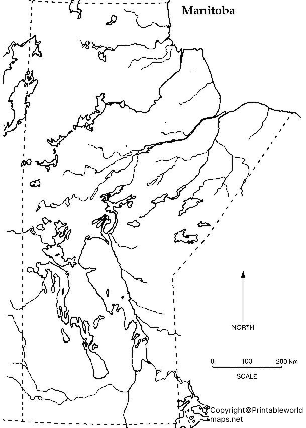
Transparent PNG Manitoba Map
The Transparent PNG Manitoba Map is useful when the map needs to be placed over another background, document, presentation, worksheet, or digital design.
PNG images with transparent backgrounds can be particularly useful for:
- School presentations
- Educational websites
- Geography projects
- Digital worksheets
- Posters
- Infographics
- Classroom materials
- Graphic design projects
Manitoba Geography: Important Facts to Know
Manitoba has a varied physical landscape. The province contains extensive freshwater resources, forested areas, prairie landscapes, wetlands, and northern regions extending toward Hudson Bay.
Major Lakes in Manitoba
Manitoba is home to several major lakes, including:
- Lake Winnipeg – one of Canada’s largest lakes
- Lake Manitoba
- Lake Winnipegosis
- Cedar Lake
- Lake St. Martin
Lake Winnipeg is particularly significant to Manitoba’s geography and watershed system.
Manitoba’s Location
Manitoba occupies a central position in Canada. It is part of the Prairie Provinces, together with Saskatchewan and Alberta.
The province shares borders with:
- Saskatchewan to the west
- Ontario to the east
- Nunavut to the north
- North Dakota to the south
- Minnesota to the southeast
This location makes Manitoba an important geographic connection between Canada’s western and eastern regions.
What Can You Label on a Blank Map of Manitoba?
A blank map can be used for different levels of geography practice.
Beginner Level
Students can identify:
- Manitoba
- Winnipeg
- Surrounding provinces
- United States border
Intermediate Level
Students can add:
- Major lakes
- Major rivers
- Important cities
- Regional boundaries
Advanced Level
Students can research and add:
- Watersheds
- Physical regions
- Transportation routes
- Population centers
- Major protected areas
- Northern and southern geographic regions
This makes the Blank Map of Manitoba adaptable for elementary, secondary, homeschool, and introductory geography activities.
Educational Uses for Teachers and Students
Teachers can incorporate a Blank Map of Manitoba into several classroom activities.
For example, students can be asked to:
- Locate Manitoba on a map of Canada.
- Draw or identify the province’s boundaries.
- Label Winnipeg.
- Mark major lakes.
- Identify neighbouring provinces.
- Identify the U.S. states bordering Manitoba.
- Compare Manitoba with Saskatchewan and Ontario.
- Research Manitoba’s physical geography.
- Complete a blank-map quiz.
- Create a labeled geography poster.
Using the same map for several activities can help students progressively build their geographic knowledge.
Frequently Asked Questions About the Blank Map of Manitoba
What is a Blank Map of Manitoba?
A Blank Map of Manitoba is an outline or unlabeled map of the Canadian province that can be used for drawing, labeling, geography practice, classroom activities, and educational projects.
Where can I download a Blank Map of Manitoba?
You can download the blank Manitoba outline, printable map, practice worksheet, and transparent PNG provided on this page. PDF versions are also available for printing.
Is the Manitoba blank map printable?
Yes. The available Manitoba map resources include PDF versions that can be downloaded and printed for classroom, school, or home use.
Can students use the Blank Map of Manitoba for practice?
Yes. Students can use a blank map to practice identifying Winnipeg, major lakes, neighbouring provinces, surrounding U.S. states, and other geographic features.
What are the major lakes shown on a Manitoba map?
Important lakes associated with Manitoba include Lake Winnipeg, Lake Manitoba, and Lake Winnipegosis, among others.
What is the capital of Manitoba?
Winnipeg is the capital and largest city of Manitoba.
Which provinces border Manitoba?
Manitoba borders Saskatchewan to the west and Ontario to the east. Nunavut borders Manitoba to the north.
Which U.S. states border Manitoba?
Manitoba shares its southern international border with North Dakota and Minnesota.
Is Manitoba part of the Canadian Prairies?
Yes. Manitoba is one of Canada’s three Prairie Provinces, along with Saskatchewan and Alberta.
What is the difference between a Manitoba outline map and a labeled map?
An outline map generally shows the shape and boundaries without extensive labels, while a labeled map identifies geographic features such as cities, lakes, rivers, or boundaries.
