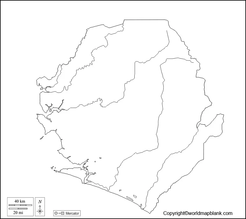
A Blank Map of Sierra Leone is used by students and researchers of geography to ascertain its location on the globe. Informally known as Salone, but officially recognized as the Republic of Sierra Leone, is a country situated on the southwest coast of Western Africa. The country has borders with Liberia in the southeast and Guinea in the northeast. It has a climate of tropical in nature with a diverse type of environment that ranges from savanna to rain forests.
- World coronavirus map
- World geographical map
- World Map Wallpaper
- World population map
- Accurate map of World
- Ancient World map
Contents
Blank Map of Sierra Leone – Outline
Freetown is the capital and the largest city of Sierra Leone; the total area occupied by this country is 27,699 square miles or 71,740 square kilometers. The updated population of Sierra Leone is 8,100,074 as on Wednesday, April 7, 2021. The country’s population is equivalent to 0.1% of the total global population. The topography of Sierra Leone indicates that stretches of wooded country lead east and northeast to region of plateau, which generally ranges from an elevation between 300 to 610 meters. When once the blank map of Sierra Leone is available, it can be used to trace various demographic locations of the country.

It is also possible for the user to label various regions and rivers. With the help of the blank map of Sierra Leone, it is possible for the user to perform a variety of calculations and analyze their results. Blank map of Sierra Leone is available free of cost, which will provide a clear outline of the boundaries of the country. Sierra Leone blank map outline does not reflect any details as the user will be able to spot only the outer boundaries. If the user intends to study the outline structure of Sierra Leone or for any geographical study, the outlined map of Sierra Leone can be used.
Printable Map of Sierra Leone

By owning a printable map of Sierra Leone, the user can have a quick overview of the geography of the country. The user need not make effort to draw the map, instead can use a well-designed printable map of Sierra Leone, which serves the purpose of study and in exploring the details of the country. It is possible to prepare a detailed geographical analysis and in preparation of project reports as a part of school assignments.
Transparent PNG Sierra Leone Map

In this digital world of today, the user can own a transparent PNG Sierra Leone map format from the web and get it printed. From this map, the user can have transparent view of the geography of Sierra Leone with minute details. This transparent PNG Sierra Leone map, provides realistic view of the country’s objects and regions of geographical interest.
Blank Map of Sierra Leone for Practice Worksheet

If the user has to face any examination with regard to the geography of Sierra Leone, he or she should possess the special map of Sierra Leone for practice worksheet. This document will help to boost the knowledge about the geography of the country by answering several sets of questions in a given time frame.


