

A Blank Map of Senegal is a useful resource for students, teachers, researchers, and geography enthusiasts. These printable maps are available in PNG and PDF formats for classroom activities, geography assignments, map-labeling exercises, and independent study.
Senegal, officially the Republic of Senegal, is located in West Africa along the Atlantic Ocean. Its capital, Dakar, lies on the Cap-Vert Peninsula near the westernmost point of mainland Africa. A blank outline map helps learners understand the country’s shape, identify neighboring countries, and practice locating important geographical features.
- World coronavirus map
- World geographical map
- World Map Wallpaper
- World population map
- Accurate map of World
- Ancient World map
Blank Map of Senegal – Outline
The blank outline map of Senegal shows the country’s external shape and boundaries without requiring learners to copy the outline by hand. Use it to practice drawing, labeling, and coloring geographical features.
Senegal shares land borders with Mauritania to the north, Mali to the east, Guinea to the southeast, and Guinea-Bissau to the southwest. The Gambia extends inland from the Atlantic coast and is almost entirely surrounded by Senegal.
Suggested classroom activities:
- Trace the country’s outline.
- Label the four neighboring countries.
- Mark Dakar and the Atlantic coastline.
- Add major rivers and other geographical features using an atlas.

Printable Map of Senegal
A printable map of Senegal provides a convenient starting point for geography lessons, presentations, homework, and educational projects. Download the image for digital use or print the PDF for paper-based activities.
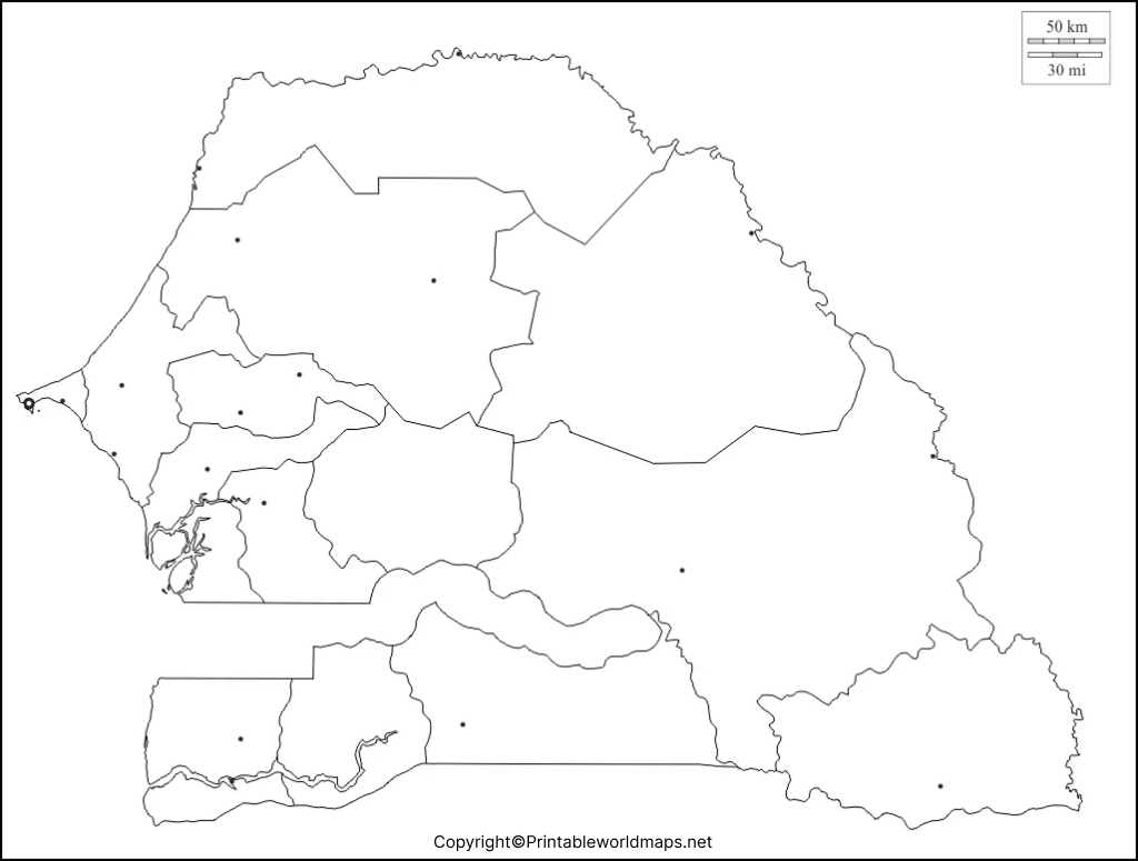
Before printing, check the page orientation, margins, and print scaling to ensure that the complete map remains visible. For school assignments, learners can add labels, symbols, and a legend to explain the information they include.
Transparent PNG Senegal Map
A transparent PNG map can be useful when placing Senegal’s outline over a colored background, presentation slide, infographic, or educational worksheet. Transparency depends on the actual image file, so check the PNG in an image editor before using it in a layered design.

This format can help teachers and students prepare customized maps, highlight selected areas, or compare Senegal’s position with other parts of West Africa. For detailed topographic information, use a separate physical or topographic map rather than relying on a blank outline.
Blank Map of Senegal for Practice Worksheet
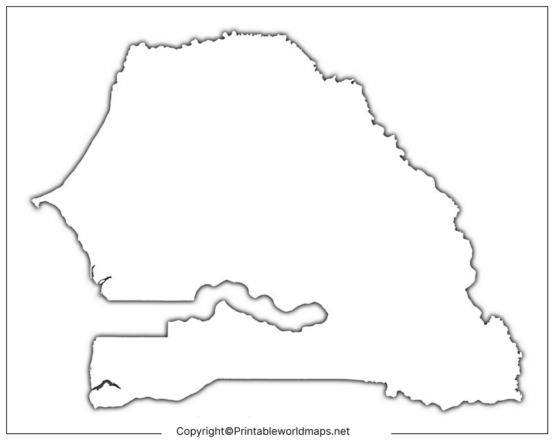
A blank map of Senegal practice worksheet helps learners revise the country’s location, neighboring countries, capital, and major geographical features. Teachers can use the outline for classroom quizzes, homework, revision exercises, and map-pointing tests.
Practice questions:
- In which part of Africa is Senegal located?
- What is the capital city of Senegal?
- Which country borders Senegal to the north?
- Which country is almost entirely surrounded by Senegal?
- Which ocean lies along Senegal’s western coast?
- Name one major river associated with Senegal’s geography.
Learners can complete the worksheet without referring to an atlas, then check their answers against a reliable geographical reference. Repeating the exercise can help improve map-reading skills and geographical recall.
Geography Facts About Senegal
Use these verified facts as a quick reference when completing a blank map of Senegal.
| Geographic feature | Fact |
|---|---|
| Official name | Republic of Senegal |
| Continent | Africa |
| Region | West Africa |
| Capital | Dakar |
| Approximate area | 196,722 square kilometres |
| Northern neighbor | Mauritania |
| Eastern neighbor | Mali |
| Southeastern neighbor | Guinea |
| Southwestern neighbor | Guinea-Bissau |
| Ocean | Atlantic Ocean |
| Distinctive geographical feature | The Gambia extends inland through Senegal |
The country’s area, location, capital, and neighboring countries are documented in Senegal’s official country information published through its Permanent Mission to the United Nations. Read the official country facts.
How to Use a Blank Map of Senegal
Follow these simple steps to make the most of your downloaded map:
- Choose a format: Use PNG for digital projects and PDF for convenient printing.
- Print the map: Select a suitable paper size and ensure that the outline is not cropped.
- Identify the boundaries: Locate Mauritania, Mali, Guinea, and Guinea-Bissau.
- Mark important features: Add Dakar, the Atlantic coast, and selected rivers using a trusted atlas.
- Add a legend: Explain the colors and symbols used on your map.
- Review your work: Compare your labels with a reliable geographical reference.
Frequently Asked Questions
1. Where can I download a blank map of Senegal?
You can download the blank outline map and practice worksheet from the PNG and PDF links provided above. Choose the format that best suits your assignment or printing needs.
2. Is the blank map of Senegal available as a PDF?
Yes. PDF versions are linked in each map section. Open the relevant PDF link to view or download the file.
3. Can I print the Senegal map for school assignments?
The maps can be used for educational activities, subject to the applicable permissions and usage terms. Check the website’s terms before redistributing the files or using them commercially.
4. What countries border Senegal?
Senegal shares land borders with Mauritania, Mali, Guinea, Guinea-Bissau, and The Gambia. The Gambia has a distinctive position within Senegal’s territory.
5. What is the capital of Senegal?
Dakar is the capital of Senegal. It is situated on the Cap-Vert Peninsula along the Atlantic coast.
6. What is the difference between a blank map and a labeled map?
A blank map leaves information such as place names for the learner to fill in. A labeled map identifies selected locations and geographical features, making it useful for reference and checking answers.
7. What is a transparent PNG map used for?
A transparent PNG can be layered over other images or colored backgrounds when preparing presentations, worksheets, and educational graphics. Verify that the downloaded file actually has a transparent background.
8. How can I practice Senegal’s geography using an outline map?
Start by marking the neighboring countries and Dakar. Then add the Atlantic coast, major rivers, and other features using a trusted atlas. Check your answers after completing the exercise.
Reference links
https://www.un.int/senegal/senegal/country-facts
https://diplomatie.gouv.sn/node/227
https://data.worldbank.org/country/SN
