Blank Map of Prince Edward Island is available here for all geographical enthusiasts. With this blank map, users can learn to draw the map of this Canadian province for themselves. We shall further offer the printable template of Prince Edward Island to help our users in their learning.

Well, Prince Edward Island is basically the name of a Canadian province that comes in the category of the maritime province. The province falls in the Eastern region of Canada and is actually the smallest province of the country. Charlottetown is the official capital of the region and English is the natively spoken language.
Contents
Blank Map of Prince Edward Island – Outline

Prince Edward Island is primarily the island region of Canada and therefore it has a similar size and geography. It comprises the number of beaches, lighthouses, farmlands, etc. The island is also best known for its seafood market and supplies the major supply of seafood to the whole of Canada. In its geographical context, the island contains gorgeous hills, forest regions, beaches, coastlines, etc.

You can explore other details about this Canadian province with our printable maps. Our printable maps are very useful in learning and drawing the overall geography of Prince Edward Island. We urge you to take a look at our printable Prince Edward Island templates and use them all for your learning.

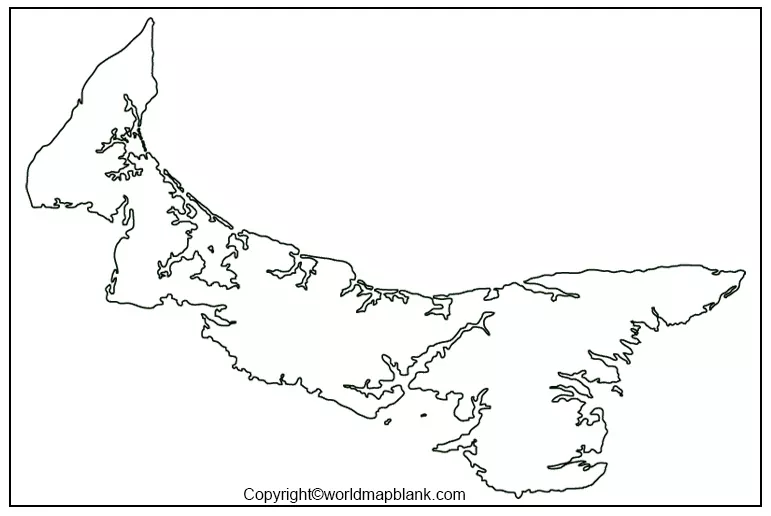
Our readers can here check out this unique Prince Edward Island outline map for their learning purpose. This is a full outline map that helps in teaching to draw an accurate map of the province. So, if you find it hard to draw the map of this province then you can definitely refer to our outline map. The outline map basically contains the raw outer structure of the province that you have to follow. Subsequently, you will be able to draw an accurate map of Prince Edward Island for yourself.
Printable Map of Prince Edward Island

Printable maps remain quite in demand among the users for a number of reasons and practical relevance. You can get the printable map of Prince Edward Island here to use for your learning and other purposes. If you are a scholar then you can use it in your classroom or personal learning of the province geography. In a similar manner if you are an explorer then you can use it for your knowledge to explore this gorgeous Canadian island.
Blank Map of Prince Edward Island for Practice Worksheet

Practice is as important as learning anything new and also for retention purposes. Geography is something that requires the continued practice so as to retain it for a longer period of time. You can practice the geography of Prince Edward Island with our practice worksheet very easily.

This is a fully printable worksheet and anyone can use it for their practice purposes. Feel free to print this practice worksheet from here and enhance your knowledge about Prince Edward Island.
Transparent PNG Prince Edward Island

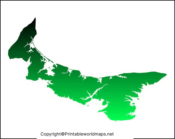
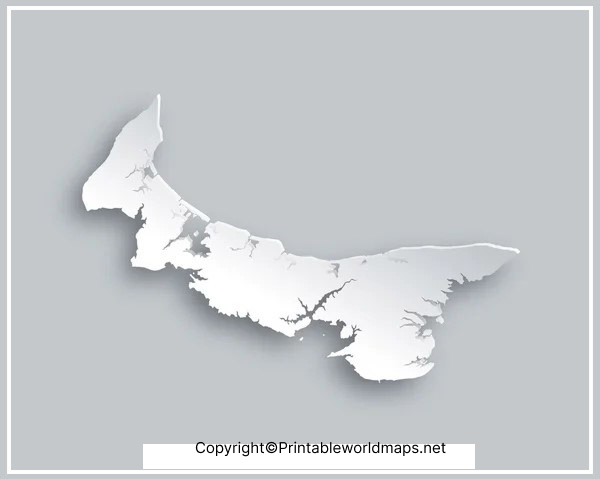
The transparent map is very useful in learning the in-depth concept of Prince Edward Island geography. This particular map shows all the details of this province’s geography thoroughly. It shows the whole surface of the province as fully transparent from the geography of the island. Subsequently, on the transparent surface users can explore all the minor details for their utmost observation. We highly recommend the transparent map of Prince Edward Island for the research purpose of scholars.


