

A blank map of Saskatchewan is a useful resource for students, teachers, parents, and geography enthusiasts who want to learn about the province of Saskatchewan, Canada. These printable Saskatchewan outline maps are available in PNG and PDF formats, making them convenient for classroom activities, geography homework, map-labeling exercises, and personal study.
This collection includes a Saskatchewan blank outline map, a printable map, a practice worksheet, and a transparent PNG map. Use the outlines to identify the province’s boundaries, mark important cities, and understand its location within Canada.
Blank Map of Saskatchewan – Outline
A blank outline map of Saskatchewan shows the province’s basic shape and boundaries without requiring you to work from a fully labeled map. It is useful for practicing provincial geography and learning where Saskatchewan is located in western Canada.
Saskatchewan lies between Alberta to the west and Manitoba to the east. The Northwest Territories are to its north, while the United States borders the province to the south. Regina is the provincial capital, and Saskatoon is another major city.
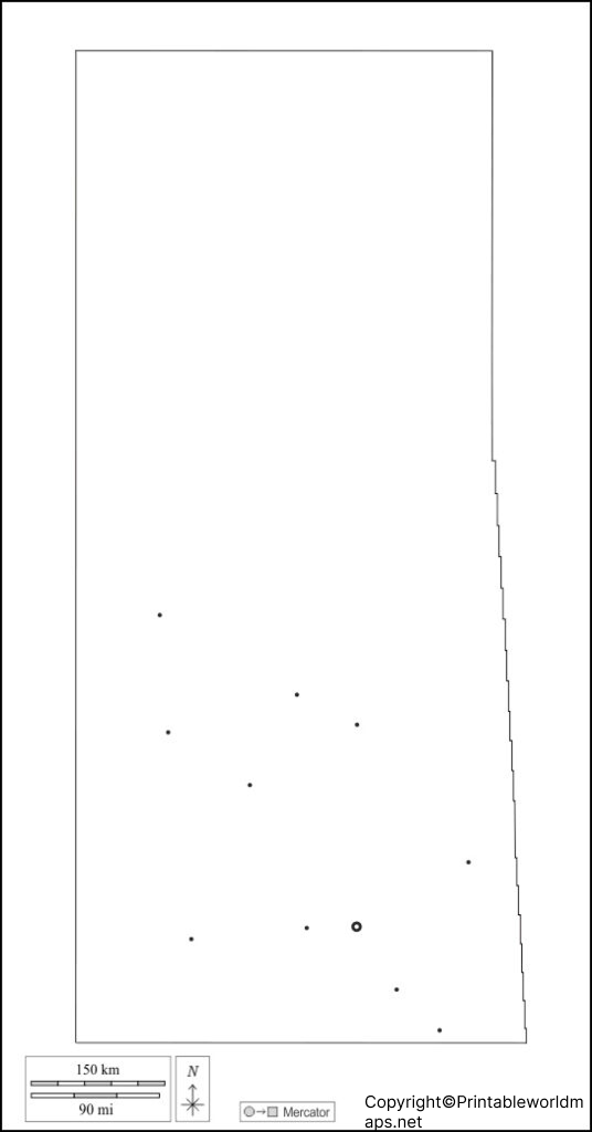
Download the Saskatchewan outline map below to practice drawing, labeling, and identifying important geographical features.
The outline map is suitable for geography lessons, classroom assignments, and revision exercises. Students can label the neighboring provinces, mark Regina and Saskatoon, or use the map as a starting point for a more detailed geographical study.
Printable Map of Saskatchewan
A printable map of Saskatchewan provides a convenient way to study the province offline. Download the image for digital use or print the PDF for classroom learning, homework, and geography practice.
For the best printing results, select the paper size that suits your worksheet, use portrait or landscape orientation as appropriate, and choose a print setting that preserves the map’s proportions. Check the preview before printing to avoid cropping the province’s outline.
Blank Map of Saskatchewan for Practice Worksheet
A blank map of Saskatchewan for practice is helpful for testing geographical knowledge. Instead of simply reading place names, learners can recall locations and write them directly on the map.
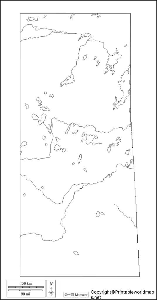
Suggested map-labeling activities
- Mark Regina, the provincial capital.
- Locate Saskatoon and compare its position with Regina.
- Label Alberta and Manitoba on the correct sides of Saskatchewan.
- Identify the United States along the southern boundary.
- Add the Saskatchewan River or other geographical features using a reliable reference map.
- Compare your completed worksheet with an official map and correct any mistakes.
These activities can be used for classroom exercises, independent study, or geography revision. Teachers can also use the blank worksheet for short quizzes and assessment activities.
Transparent PNG Saskatchewan Map
A transparent Saskatchewan PNG map can be useful for presentations, educational posters, digital worksheets, and other graphic projects. A transparent background makes it easier to place the map over a colored background or combine it with other visual elements, provided the downloaded file retains its transparency.
PNG files are convenient for digital projects, while PDF files are generally useful for printing and sharing documents. Check the actual downloaded file to confirm its background, dimensions, and print quality before using it in a project.
Important Facts About Saskatchewan
Saskatchewan is one of Canada’s Prairie Provinces. Its location, provincial boundaries, capital, and physical geography make it an important subject for Canadian geography lessons.
- Country: Canada
- Provincial capital: Regina
- Neighboring province to the west: Alberta
- Neighboring province to the east: Manitoba
- Northern neighbor: Northwest Territories
- Southern neighbor: United States
- Date Saskatchewan became a province: September 1, 1905
- Total area: Approximately 652,330 square kilometres, including land and freshwater
For current population figures and additional demographic information, consult Statistics Canada rather than relying on older population estimates. Official geographical and provincial information is also available through the Government of Saskatchewan and the Government of Canada.
Why Use a Blank Saskatchewan Map?
A blank map is more than a printable outline. It encourages active learning by allowing students to recall locations, identify boundaries, and practice geographical relationships.
Common uses include:
- School assignments: Complete provincial map-labeling exercises.
- Geography revision: Practice locating cities and neighboring regions.
- Teaching materials: Prepare worksheets, quizzes, and classroom activities.
- Digital projects: Incorporate a suitable PNG map into presentations and learning materials.
- Personal study: Build familiarity with Saskatchewan’s location and geographical layout.
For detailed boundary information or geographic data, compare the printable outline with an authoritative government map.
Frequently Asked Questions
1. Where can I download a blank map of Saskatchewan?
You can download the blank Saskatchewan outline map from the PNG and PDF links provided in the outline section above. Choose the format that best suits your study or printing needs.
2. Is the Saskatchewan blank map available in PDF format?
Yes. PDF versions are provided for the outline map, printable map, practice worksheet, and transparent map. Open the relevant PDF link to view or print the file.
3. What is the capital of Saskatchewan?
Regina is the capital of Saskatchewan, a province in western Canada.
4. Which provinces border Saskatchewan?
Saskatchewan borders Alberta to the west and Manitoba to the east. The Northwest Territories lie to the north, and the United States lies to the south.
5. How can students use a blank Saskatchewan map?
Students can label Regina and Saskatoon, identify neighboring provinces and territories, mark the southern international boundary, and add rivers or other geographical features using an authoritative reference map.
6. What is the difference between a PNG map and a PDF map?
PNG is an image format suitable for digital displays and many design projects. PDF is a document format commonly used for printing and sharing pages while preserving their layout. Transparency depends on the particular PNG file.
7. Can I use a blank Saskatchewan map for school projects?
Yes. A blank map can be useful for school projects, geography practice, and educational presentations. If you plan to republish the map or use it commercially, check the original publisher’s licensing and usage terms first.
Reference links
https://www.canada.ca/en/intergovernmental-affairs/services/provinces-territories.html
https://geohub.saskatchewan.ca
https://www.statcan.gc.ca/en/subjects-start/population_and_demography
