

A Printable Blank Map of Belize is a useful resource for students, teachers, geography enthusiasts, and researchers who want to study the country’s shape, location, and surrounding regions. These maps can be used for classroom activities, geography assignments, map-labeling exercises, and educational projects.
Belize is located in Central America, along the Caribbean Sea. A blank outline map helps learners identify the country’s boundaries, understand its geographic position, and practice drawing or labeling important features.
This guide includes a blank outline map of Belize, printable map resources, a practice worksheet, and a transparent PNG map. PNG files are suitable for digital projects, while PDF files are convenient for printing.
Blank Map of Belize – Outline
A blank map of Belize outline shows the country’s external shape without requiring learners to rely on a fully labeled map. It can help students practice identifying neighboring countries, locating the coastline, and understanding Belize’s position in Central America.
Belize shares land borders with Mexico to the north and Guatemala to the west and south. Its eastern coastline faces the Caribbean Sea. These geographic features make the outline map useful for learning about national boundaries and regional geography.
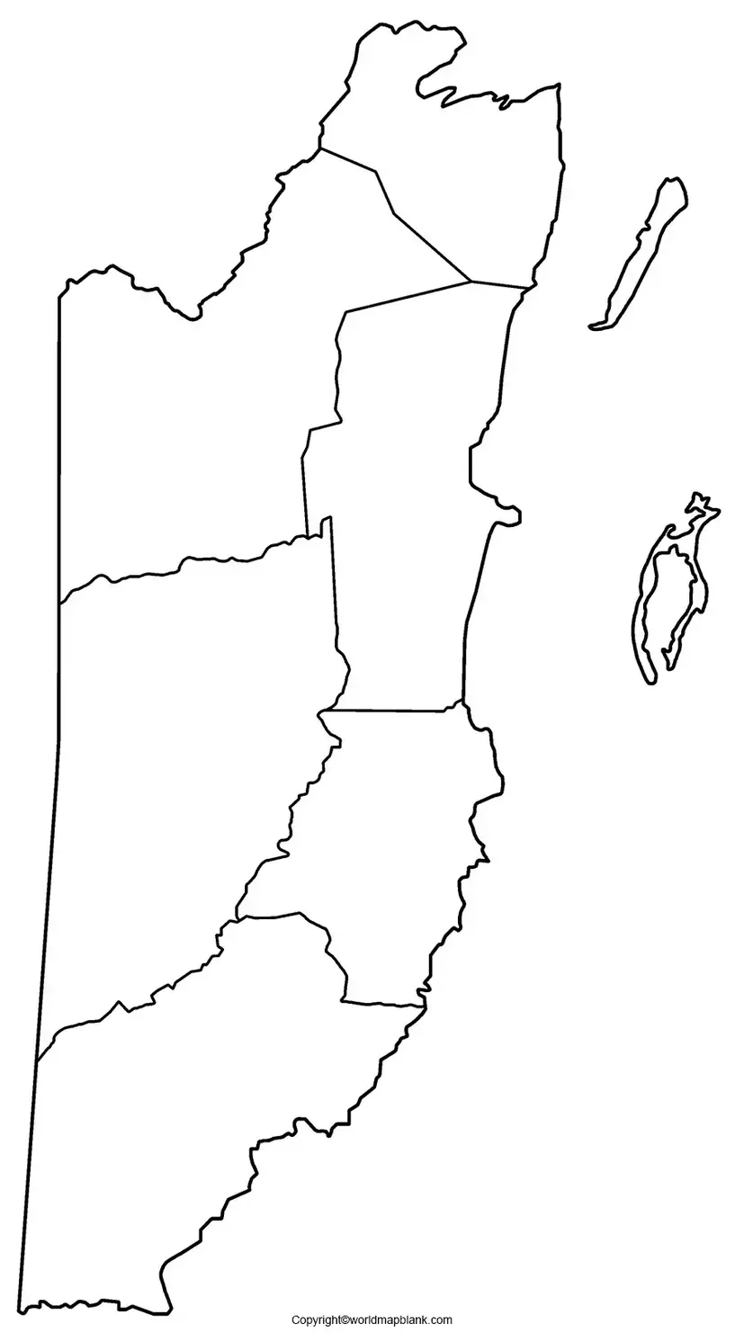
According to United Nations statistics, Belize covers approximately 22,965 square kilometres. Its capital city is Belmopan. These facts can be added to a geography worksheet or used as reference information when studying the map.
Printable Map of Belize
A printable map of Belize provides a convenient way to study the country’s shape and geographic location on paper. Teachers can use it for classroom lessons, while students can include it in geography projects, homework, and revision exercises.
Before printing, check the page orientation and print preview. Select a suitable paper size and use the fit-to-page option if necessary. For school activities, print one copy for each learner and leave enough space for writing labels.
A blank map is particularly helpful when students are asked to identify Belize, mark neighboring countries, or describe its position relative to the Caribbean Sea.
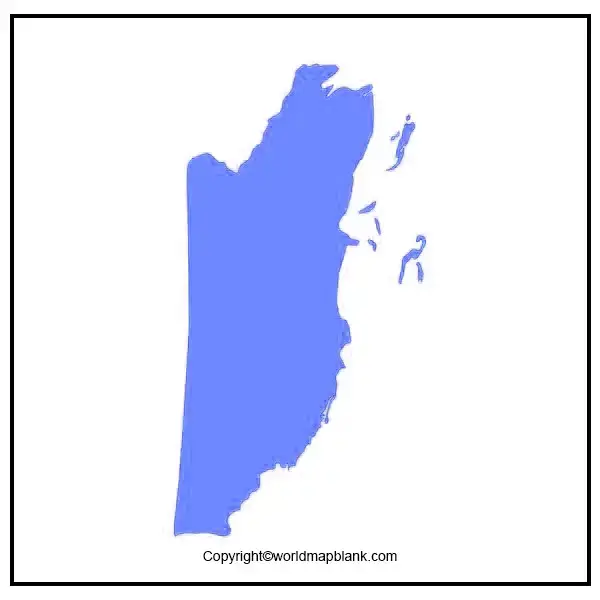
Blank Map of Belize for Practice Worksheet
A blank map of Belize for a practice worksheet can help students develop map-reading, observation, and geographic labeling skills. Teachers and parents can use the outline for independent practice, classroom exercises, or geography revision.
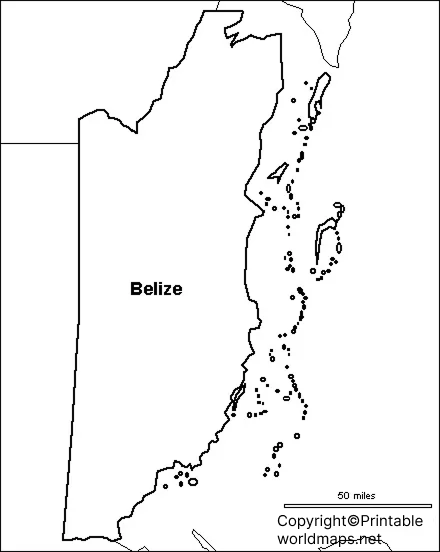
Practice Activities for Students
After printing the worksheet, try these activities:
- Write the name of Belize above or beside the outline.
- Label Mexico to the north and Guatemala to the west and south.
- Identify the Caribbean Sea along the eastern coast.
- Mark the capital city, Belmopan, if the worksheet provides enough geographic detail.
- Write three facts about Belize’s location, land area, or neighboring countries.
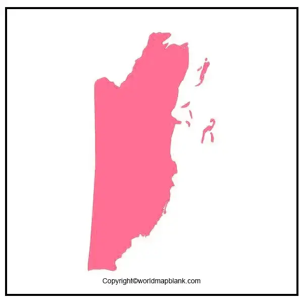
These activities can be adapted for different grade levels. Younger learners can focus on country recognition, while older students can use the map as part of a wider lesson on Central American geography.
Transparent PNG Belize Map
A transparent PNG Belize map can be useful for presentations, digital worksheets, educational posters, and geography projects. PNG is an image format that supports transparency, allowing a suitable map graphic to be placed over a colored background without an opaque rectangular background.
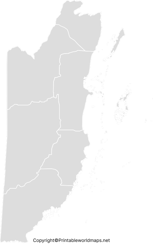
For digital use, check whether the downloaded PNG actually contains a transparent background. A PNG file does not automatically guarantee transparency. If you need to place the map over a colored background, verify the image using an image editor or graphics application.
For the best results, use a high-resolution image and preserve its original proportions when resizing. If you are preparing a school report or presentation, include a caption and a source credit where appropriate.
Important Geography Facts About Belize
The following facts provide additional context for anyone using a blank map of Belize.
- Region: Central America.
- Capital: Belmopan.
- Land neighbors: Mexico and Guatemala.
- Eastern coastline: Caribbean Sea.
- Land area: Approximately 22,965 square kilometres, according to United Nations statistics.
- Official language: English.
- Independence: Belize became independent on 21 September 1981.
- Administrative divisions: Belize has six districts.
These facts can help students connect the outline of the country with its location, government, and regional geography. For current population statistics, consult the Statistical Institute of Belize because population estimates change over time.
How to Use and Print a Blank Map of Belize
Follow these steps to use the map effectively:
- Choose an outline map, printable map, worksheet, or transparent PNG according to your needs.
- Open the image or PDF file and check that the entire map is visible.
- Select the appropriate paper size and print settings.
- Label the geographic features required for your assignment.
- Compare your completed work with a reliable reference map.
- Keep the original digital file if you need to print additional copies.
For classroom use, teachers can combine a blank map with short-answer questions or a country-facts activity. For digital projects, a transparent PNG may be more convenient than a printed outline.
Frequently Asked Questions
1. Where can I download a printable blank map of Belize?
You can use the PNG and PDF links provided in this article. Choose an outline map for drawing and labeling, a practice worksheet for classroom exercises, or a transparent PNG for digital projects.
2. Can I print a blank map of Belize for school?
Yes. A blank outline map can be used for school assignments, geography lessons, revision exercises, and country-labeling activities. Check the file’s print quality before distributing copies.
3. What is the difference between a PNG map and a PDF map?
PNG is an image format commonly used for digital documents and presentations. PDF is a document format that is generally convenient for printing while preserving page layout. The quality of either file depends on the source and its resolution.
4. Which countries border Belize?
Belize shares land borders with Mexico to the north and Guatemala to the west and south. The Caribbean Sea lies to its east.
5. What is the capital of Belize?
Belmopan is the capital of Belize. Students can add its name to a reference map or mark its approximate location when the outline provides enough detail.
6. What is the area of Belize?
United Nations statistics list Belize’s surface area at approximately 22,965 square kilometres. Different publications may distinguish between total surface area and land area, so check the stated measurement when comparing sources.
7. How can students use a blank map of Belize?
Students can label neighboring countries, identify the Caribbean coastline, practice drawing the country’s outline, and record important geographic facts. Teachers can adapt these activities to different learning levels.
8. How can I use a transparent PNG map of Belize?
A transparent PNG can be inserted into presentations, digital worksheets, posters, and educational graphics. Check that the downloaded image has a genuinely transparent background before using it over other colors.
Reference links
https://sib.org.bz/statistics/demographic-social-statistics
https://unstats.un.org/unsd/publications/pocketbook/files/world-stats-pocketbook-2024.pdf
https://www.belizeembassyusa.mfa.gov.bz/about-belize-1
https://sib.org.bz/census/census-history-in-belize
https://www.britannica.com/place/Belize
