

Get a blank map of Thailand in PNG or PDF format for free. These printable Thailand maps are useful for geography lessons, classroom worksheets, study activities, quizzes, presentations, and personal learning.
You can download an outline map of Thailand, a map showing provincial boundaries, a solid Thailand map, a worksheet map, or a transparent PNG map.
A blank map is especially useful when students need to identify Thailand’s provinces, neighboring countries, major cities, rivers, mountains, or geographic regions without having the answers already displayed.
For accurate study, compare the blank map with a current reference map before adding geographic labels or boundaries.
Blank Map of Thailand Outline
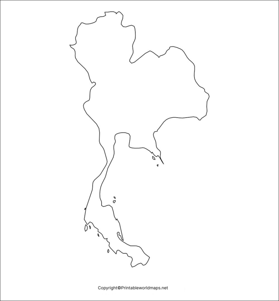
A blank map of Thailand with the country’s outer boundary is useful for basic geography exercises and map-labeling activities.
Thailand is located in mainland Southeast Asia. It shares land borders with Myanmar, Laos, Cambodia, and Malaysia and has coastlines along the Andaman Sea and Gulf of Thailand. Thailand covers approximately 513,115 square kilometers.
The official Thai government describes Thailand’s geography as including mountainous areas in the north, the northeastern plateau, fertile central river plains, western mountain ranges, eastern coastal areas, and the long southern peninsula.
Download Outline Map of Thailand PDF
What Can You Mark on the Outline Map?
Students and teachers can use the outline map to identify:
- Thailand’s neighboring countries
- Bangkok, the national capital
- Major cities
- Mountain ranges
- Major rivers
- Gulf of Thailand
- Andaman Sea
- Provincial boundaries
- Northern, northeastern, central, eastern, western and southern regions
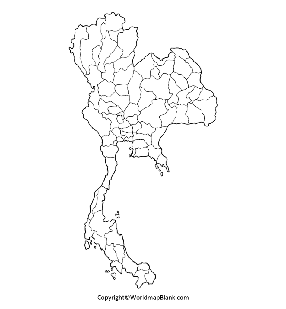
Blank Map of Thailand with Provinces
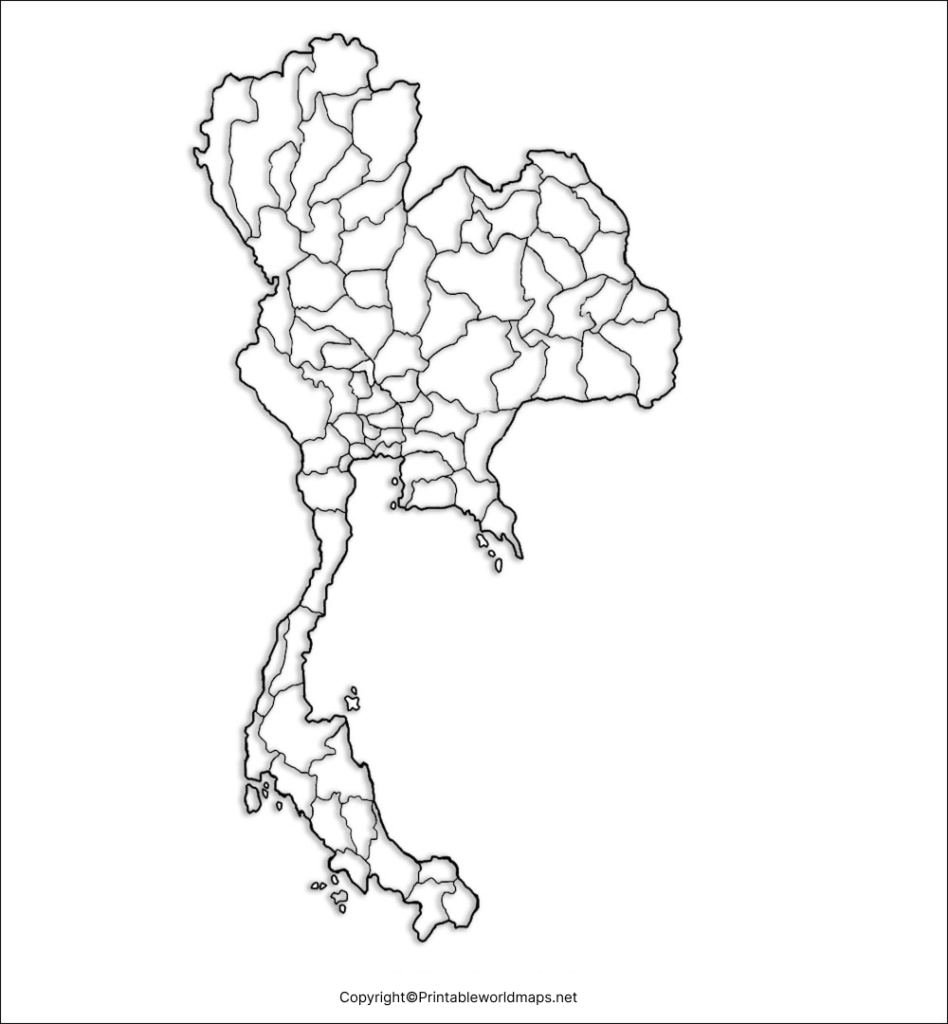
A blank map of Thailand with provinces is useful for learning Thailand’s administrative geography.
Thailand has 76 provinces, excluding Bangkok, which has a special administrative status. Thailand’s National Statistical Office confirms the 76-province structure in its Statistical Yearbook.
Bangkok is the capital and largest city of Thailand. Because Bangkok is administered separately from the 76 provinces, it is important to distinguish between Thailand’s 76 provinces and Bangkok when using administrative maps.
Download Map of Thailand with Provinces PDF
Thailand Province Map Activities
Teachers can use this map for activities such as:
- Labeling provinces.
- Locating Bangkok.
- Identifying northern and southern provinces.
- Comparing provincial locations.
- Creating geography quizzes.
- Practicing map-reading skills.
- Coloring provinces by region.
Tip: Administrative boundaries can change over time, so use an official or current reference when the map is being used for formal geographic or administrative work.
Solid Map of Thailand
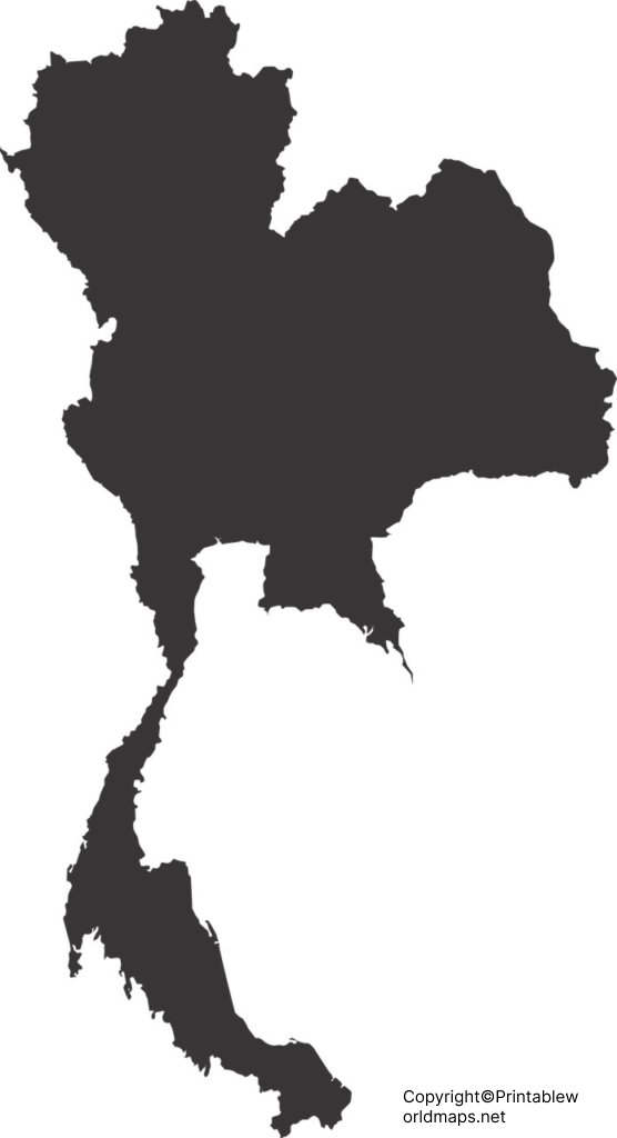
A solid map provides a simplified representation of Thailand’s overall shape without requiring students to interpret detailed boundaries.
This type of Thailand blank map can be useful for:
- Geography presentations
- Classroom worksheets
- Country identification exercises
- Coloring activities
- Infographics
- Travel and educational projects
Download Solid Map of Thailand PDF
Thailand Blank Map for Worksheets
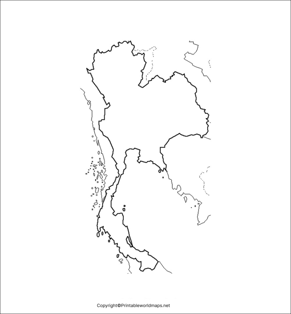
A Thailand blank map for worksheets gives students a simple base for geography exercises.
Teachers can create custom activities by asking students to mark:
- Bangkok
- Neighboring countries
- Provinces
- Major rivers
- Mountain areas
- Seas and coastlines
- Major cities
- Geographic regions
Dowload Thailand Blank Map for Worksheets PDF
Classroom Ideas for a Blank Map of Thailand
A teacher can give students a blank map and ask them to:
Activity 1: Label Thailand’s four neighboring countries.
Activity 2: Locate Bangkok.
Activity 3: Mark the Gulf of Thailand and Andaman Sea.
Activity 4: Identify major rivers such as the Chao Phraya.
Activity 5: Add Doi Inthanon, Thailand’s highest peak.
Activity 6: Color Thailand’s geographic regions.
These activities turn a simple blank map into an interactive geography exercise.
Transparent PNG Thailand Map
A transparent PNG Thailand map can be useful when the map needs to be placed over another background, image, presentation, infographic, or educational design.
PNG transparency allows the surrounding background to remain visible around the map, making this format particularly useful for digital projects.
Download Transparent PNG Thailand Map PDF
Thailand Geography Facts
Here are several useful facts that can help students understand the geography represented by a blank map of Thailand.
| Geographic fact | Information |
|---|---|
| Country | Kingdom of Thailand |
| Region | Southeast Asia |
| Approximate area | 513,115 km² |
| Capital | Bangkok |
| Land neighbors | Myanmar, Laos, Cambodia and Malaysia |
| Western maritime area | Andaman Sea |
| Southern/eastern maritime area | Gulf of Thailand |
| Highest peak | Doi Inthanon |
| Highest elevation | 2,565 meters |
| Major river system | Chao Phraya |
| Administrative provinces | 76 provinces, excluding Bangkok |
Thailand’s official government information gives the country’s area as 513,115 km² and identifies its neighboring countries and major geographic regions.
The Thai National Statistical Office confirms that the country has 76 provinces, excluding Bangkok.
Thailand’s Geographic Regions
Thailand can be studied through several broad geographic areas.
Northern Thailand
Northern Thailand contains extensive mountain ranges and includes Doi Inthanon, the country’s highest peak at 2,565 meters.
Northeastern Thailand
The northeast is associated with the Khorat Plateau and has distinctive terrain and agricultural landscapes.
Central Thailand
The central region contains major river plains and is closely associated with the Chao Phraya River system. The Thai government identifies the central region as an important agricultural area.
Eastern Thailand
Eastern Thailand includes coastal areas and mountain ranges and has a long coastline along the Gulf of Thailand.
Western Thailand
Western Thailand contains valleys and mountain ranges, including parts of the ranges extending southward from northern Thailand.
Southern Thailand
Southern Thailand extends down the Malay Peninsula, with the Andaman Sea to the west and the Gulf of Thailand to the east.
Why Use a Blank Map of Thailand?
A blank map can be more useful for active learning than simply looking at a labeled map.
Students can practice recall, spatial awareness, geographic identification, and map interpretation by adding information themselves.
A blank Thailand map can be used for:
- School geography assignments
- Homeschooling
- Geography quizzes
- Printable worksheets
- Country studies
- Classroom activities
- Map-labeling exercises
- Presentations
- Educational projects
- Geography revision
How to Use These Thailand Maps
Step 1: Download the PNG if you need a digital image.
Step 2: Download the PDF if you want to print the map.
Step 3: Choose an outline, provincial, solid, worksheet, or transparent version.
Step 4: Add labels, colors, geographic features, or questions.
Step 5: Compare your completed map with a reliable reference map.
For administrative information, geographic facts, and current official boundaries, users should verify information against authoritative Thai government or statistical sources.
Frequently Asked Questions
What is a blank map of Thailand?
A blank map of Thailand is an unlabeled map that shows the country’s shape or boundaries without displaying all geographic names. It can be used for geography practice, worksheets, quizzes and classroom activities.
Can I download a blank map of Thailand as a PDF?
Yes. The maps on this page include downloadable PDF versions suitable for printing and educational activities.
Does Thailand have 76 or 77 provinces?
Thailand has 76 provinces, while Bangkok has a special administrative status and is not counted among those 76 provinces. Thailand’s National Statistical Office confirms this administrative distinction.
What countries border Thailand?
Thailand shares land borders with Myanmar, Laos, Cambodia and Malaysia.
What is the capital of Thailand?
Bangkok is the capital and largest city of Thailand.
What is the highest mountain in Thailand?
Doi Inthanon is Thailand’s highest peak, with an elevation of 2,565 meters (8,415 feet).
Which seas surround Thailand?
Thailand has the Andaman Sea to the west and the Gulf of Thailand to the south and east.
What is the area of Thailand?
Thailand covers approximately 513,115 square kilometers according to the Thai government.
What is a transparent PNG Thailand map?
A transparent PNG map has a transparent background around the map shape. This makes it convenient for presentations, graphics, educational materials and website designs.
Who can use a blank Thailand map?
Students, teachers, homeschoolers, researchers, designers and anyone creating geography-related educational material can use a blank Thailand map.
Reference Links
https://thailand.go.th/page/land-area
https://www.thailand.go.th/issue-focus-detail/009_141
https://www.nso.go.th/public/e-book/Statistical-Yearbook/SYB-2025/10
https://databank.worldbank.org/reports.aspx?country=THA&series=SP.POP.TOTL&source=2
https://databank.worldbank.org
