


The Rio Grande River Map shows the route of one of North America’s major rivers, from its headwaters in Colorado through New Mexico and along the Texas-Mexico border before reaching the Gulf of Mexico. The map helps identify the river’s major tributaries, surrounding states, watershed, and important geographic features.
The Rio Grande is also known as Río Bravo del Norte or Río Bravo in Mexico. It is an important interstate and international river, supporting agriculture, communities, wildlife, recreation, and water-management systems across the southwestern United States and northern Mexico. The U.S. National Park Service lists the river at about 1,885 miles (3,030 km), while USGS sources commonly describe it as approximately 1,900 miles (3,058 km) long, reflecting differences in measurement methods.
Rio Grande River Map
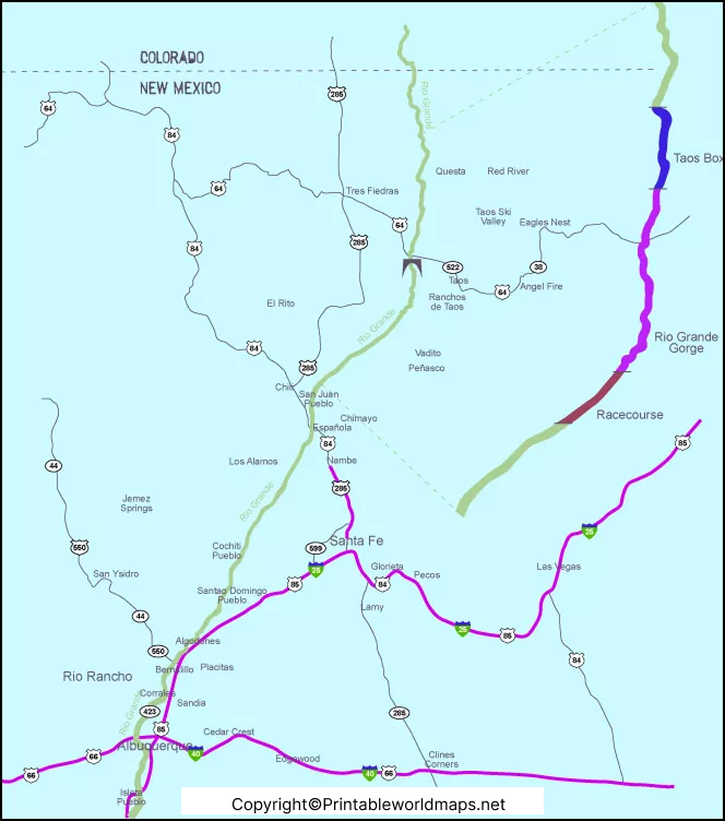
The Rio Grande rises in the San Juan Mountains of southern Colorado and flows south through New Mexico. It then continues through Texas, where a substantial portion of the river forms the international boundary between the United States and Mexico. The river eventually reaches the Gulf of Mexico near the Brownsville, Texas, area. USGS and National Park Service sources both document its route from Colorado to the Gulf of Mexico.
The river passes through diverse landscapes, including the San Luis Valley, Rio Grande Gorge, New Mexico’s high desert, the Chihuahuan Desert, Big Bend, and the Lower Rio Grande Valley. These geographic changes make a Rio Grande River Map useful for understanding the river’s physical geography and regional importance.
Rio Grande River Map Facts
| Feature | Detail |
|---|---|
| River name | Rio Grande |
| Spanish name | Río Bravo / Río Bravo del Norte |
| Approximate length | About 1,885–1,900 miles (3,030–3,058 km), depending on source and measurement |
| Headwaters | San Juan Mountains, Colorado |
| Flows through | Colorado, New Mexico, Texas, and northern Mexico |
| Mouth | Gulf of Mexico |
| Major U.S. tributaries | Pecos River, Devils River, Chama River |
| Important Mexican tributaries | Rio Conchos, Rio San Juan, Rio Salado |
| International role | Forms much of the U.S.-Mexico boundary downstream of El Paso |
| Major protected areas | Big Bend National Park, Rio Grande National Forest and Rio Grande National Wild and Scenic River areas |
The National Park Service identifies the Pecos River, Chama River, and Devils River among important U.S. tributaries and the Rio Conchos, Rio Salado, and Rio San Juan among Mexican tributaries.
Rio Grande River on US map
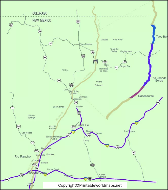
The Rio Grande River on a US map can be followed from southern Colorado through New Mexico and into Texas. Near El Paso, the river becomes closely associated with the international boundary between the United States and Mexico.
According to the International Boundary and Water Commission (IBWC), the Rio Grande forms the international border and extends for more than 1,250 miles within the Texas Clean Rivers Program study area.
The river is especially important in El Paso, Big Bend, Presidio, Del Rio, and the Lower Rio Grande Valley. Its course also connects several distinctive landscapes and recreational areas.
Rio Grande River Texas Map
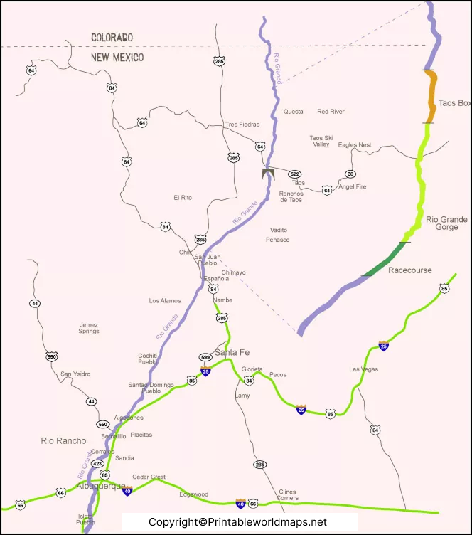
A Rio Grande River Texas Map shows the river’s important role along the western and southern parts of Texas. The river forms the international boundary with Mexico for a large portion of its Texas course.
Major tributaries and connected waterways include the Pecos River, Devils River, and Rio Conchos. The Rio Conchos is particularly significant because it is the principal Mexican tributary entering the Rio Grande near Presidio, Texas, and Ojinaga, Chihuahua. IBWC notes that the Rio Conchos can substantially increase Rio Grande flows in this area.
The Rio Grande also passes through or near major landscapes such as Big Bend National Park, the Chihuahuan Desert, and the Lower Rio Grande Valley. This makes the Texas section important for geography, conservation, agriculture, tourism, and water management.
Rio Grande River Map Printable
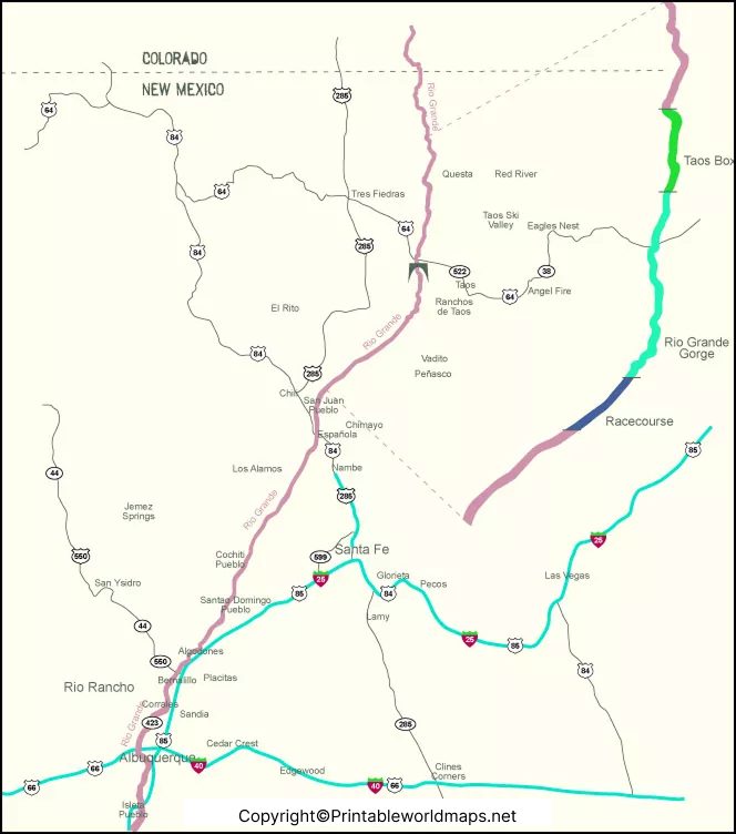
This Rio Grande River Map Printable can be useful for students, teachers, researchers, travelers, and anyone studying the geography of the southwestern United States and northern Mexico.
A printable map can help users identify:
- The Rio Grande’s headwaters in Colorado
- The river’s route through New Mexico
- The Texas-Mexico border section
- Major tributaries
- Big Bend and other important geographic areas
- The river’s route toward the Gulf of Mexico
- The relationship between the river and its wider watershed
For classroom use, the map can be paired with a blank U.S. map to help students trace the river’s course and label its major tributaries.
Where Does the Rio Grande River Start?
The Rio Grande begins in the San Juan Mountains of southern Colorado. USGS describes the river as originating in the Rocky Mountains of Colorado before flowing south through New Mexico toward Texas and Mexico.
The river’s headwaters are supplied substantially by mountain snowmelt. USGS research notes that seasonal snowpack in the high-elevation areas of Colorado and New Mexico is an important source of Upper Rio Grande streamflow.
Where Does the Rio Grande River End?
The Rio Grande ultimately reaches the Gulf of Mexico downstream of the Brownsville, Texas, region. Its lower course is heavily influenced by water use, irrigation, reservoirs, diversions, and international water-management agreements.
Because water is extensively used throughout the basin, the amount of water reaching the Gulf can be substantially lower than the natural flow that would otherwise occur. An IBWC basin report notes that only about 20% of the river’s flow reaches the Gulf of Mexico in the referenced basin context.
Major Tributaries of the Rio Grande
The Rio Grande has numerous tributaries across the United States and Mexico. Some of the most important include:
Pecos River
The Pecos River is a major U.S. tributary. It rises in New Mexico and flows southward into Texas before joining the Rio Grande. IBWC identifies the Pecos as the largest tributary within the Texas portion of the Rio Grande basin.
Rio Conchos
The Rio Conchos is one of the most important Mexican tributaries. It joins the Rio Grande near Presidio, Texas, and Ojinaga, Chihuahua. Its contribution can significantly increase river flow in that section.
Chama River
The Chama River is an important tributary in northern New Mexico and is part of the Upper Rio Grande system. It is also recognized by the National Park Service among the river’s significant tributaries.
Devils River
The Devils River is another important Texas tributary. It enters the Rio Grande upstream of Amistad Reservoir and contributes to the river’s water system.
Rio Grande River and the US-Mexico Border
One of the most important geographic characteristics of the Rio Grande is its role as an international boundary between the United States and Mexico.
The river forms a substantial portion of the border after reaching the El Paso area and continues southeast toward the Gulf of Mexico. The International Boundary and Water Commission works with its Mexican counterpart on boundary, water, flood-control, and related river-management responsibilities.
The river’s international role also means that its water is governed by agreements and treaties between the United States and Mexico. The 1944 Water Treaty is one of the major agreements governing allocation and management of Rio Grande waters.
Rio Grande River Watershed
The Rio Grande watershed covers a large area across the southwestern United States and northern Mexico. However, watershed-area figures can differ depending on whether a source measures the entire basin or only areas that contribute surface runoff to the river.
USGS publications have reported the broader Rio Grande basin at approximately 336,000 square miles (870,236 km²), while other IBWC basin analyses use different boundaries and measurements.
This distinction is important when comparing Rio Grande maps and statistics from different sources.
Why Is the Rio Grande Important?
The Rio Grande is important for several reasons:
- Water supply: It supports communities and industries across the basin.
- Agriculture: Irrigation from the river and connected water systems supports farmland.
- International relations: The river is part of the U.S.-Mexico boundary.
- Wildlife habitat: River corridors and wetlands provide habitat for many species.
- Recreation: Fishing, boating, rafting, hiking, and other outdoor activities occur along different sections.
- National parks: The river is closely associated with places such as Big Bend National Park.
- Geography and education: Maps of the river help explain watersheds, borders, tributaries, and physical geography.
USGS describes the Rio Grande as an important renewable water resource and recreational resource in the southwestern United States.
Rio Grande River Map for Students and Teachers
A Rio Grande River Map can be used as an educational resource for geography and environmental studies.
Students can use the map to:
- Locate the river’s headwaters in Colorado.
- Trace its route through New Mexico.
- Identify the Texas-Mexico border section.
- Locate major tributaries.
- Find Big Bend National Park.
- Identify the Gulf of Mexico.
- Compare the river’s physical geography with its watershed.
Teachers can also use printable versions for classroom worksheets, map-labeling exercises, geography projects, and river-system lessons.
Interesting Facts About the Rio Grande
Here are several useful facts to remember:
- The Rio Grande is approximately 1,885–1,900 miles long, depending on the source and measurement method.
- It begins in the San Juan Mountains of Colorado.
- It flows through Colorado, New Mexico, Texas, and northern Mexico.
- It is known as Río Bravo or Río Bravo del Norte in Mexico.
- It forms a major part of the United States-Mexico international boundary.
- The Pecos River is a major U.S. tributary.
- The Rio Conchos is a major Mexican tributary.
- The river reaches the Gulf of Mexico.
- Snowmelt from the Rocky Mountains is an important source of Upper Rio Grande water.
- Water allocation is governed by complex interstate and international agreements.
Frequently Asked Questions
What is the Rio Grande River Map?
The Rio Grande River Map shows the course of the Rio Grande from its headwaters in Colorado through New Mexico and Texas to the Gulf of Mexico. It can also show tributaries, states, the watershed, and the U.S.-Mexico border.
Where does the Rio Grande River start?
The Rio Grande begins in the San Juan Mountains of southern Colorado.
Where does the Rio Grande River end?
The river flows into the Gulf of Mexico near the Brownsville, Texas, region.
How long is the Rio Grande River?
The Rio Grande is approximately 1,885 to 1,900 miles (3,030–3,058 km) long, with the exact figure varying between sources and measurement methods.
Which states does the Rio Grande flow through?
The Rio Grande flows through Colorado, New Mexico, and Texas in the United States, while its basin also extends into northern Mexico.
Does the Rio Grande form the US-Mexico border?
Yes. A substantial portion of the Rio Grande forms the international boundary between the United States and Mexico, particularly downstream from El Paso.
What are the major tributaries of the Rio Grande?
Important tributaries include the Pecos River, Rio Conchos, Chama River, Devils River, Rio San Juan, and Rio Salado.
Can I download a printable Rio Grande River Map?
Yes. The maps above include downloadable PDF versions that can be used for educational, reference, and personal study purposes.
Why is the Rio Grande important?
The river provides water for communities and agriculture, supports ecosystems and recreation, forms part of the U.S.-Mexico border, and plays an important role in interstate and international water management.
Reference links
https://www.nps.gov/articles/southwest-river-environments.htm
https://www.ibwc.gov/crp/study-area
https://www.ibwc.gov/about-us/history
https://www.ibwc.gov/flood-control-levee-systems
https://www.ibwc.gov/wp-content/uploads/2023/07/2019ProgramUpdate_FINAL.pdf
