
Get a blank map of Uruguay for geography practice, classroom activities, map drawing, and independent learning. This collection includes printable outline maps, transparent PNG maps, and a worksheet designed for students and educators.
Uruguay is located in southeastern South America. It borders Brazil to the north and northeast and Argentina to the west, while the Río de la Plata lies to the south and the Atlantic Ocean to the southeast. Uruguay has a land area of approximately 175,016 km² according to Uruguay’s National Institute of Statistics (INE).
Uruguay is divided into 19 departments, with Montevideo being the capital and the country’s most densely populated department. INE’s 2025 statistical yearbook reports a 2024 population estimate of 3,491,764.
A blank map of Uruguay is particularly useful for identifying borders, departments, rivers, coastal areas, major cities, and physical geography features.
Blank Map of Uruguay – Outline
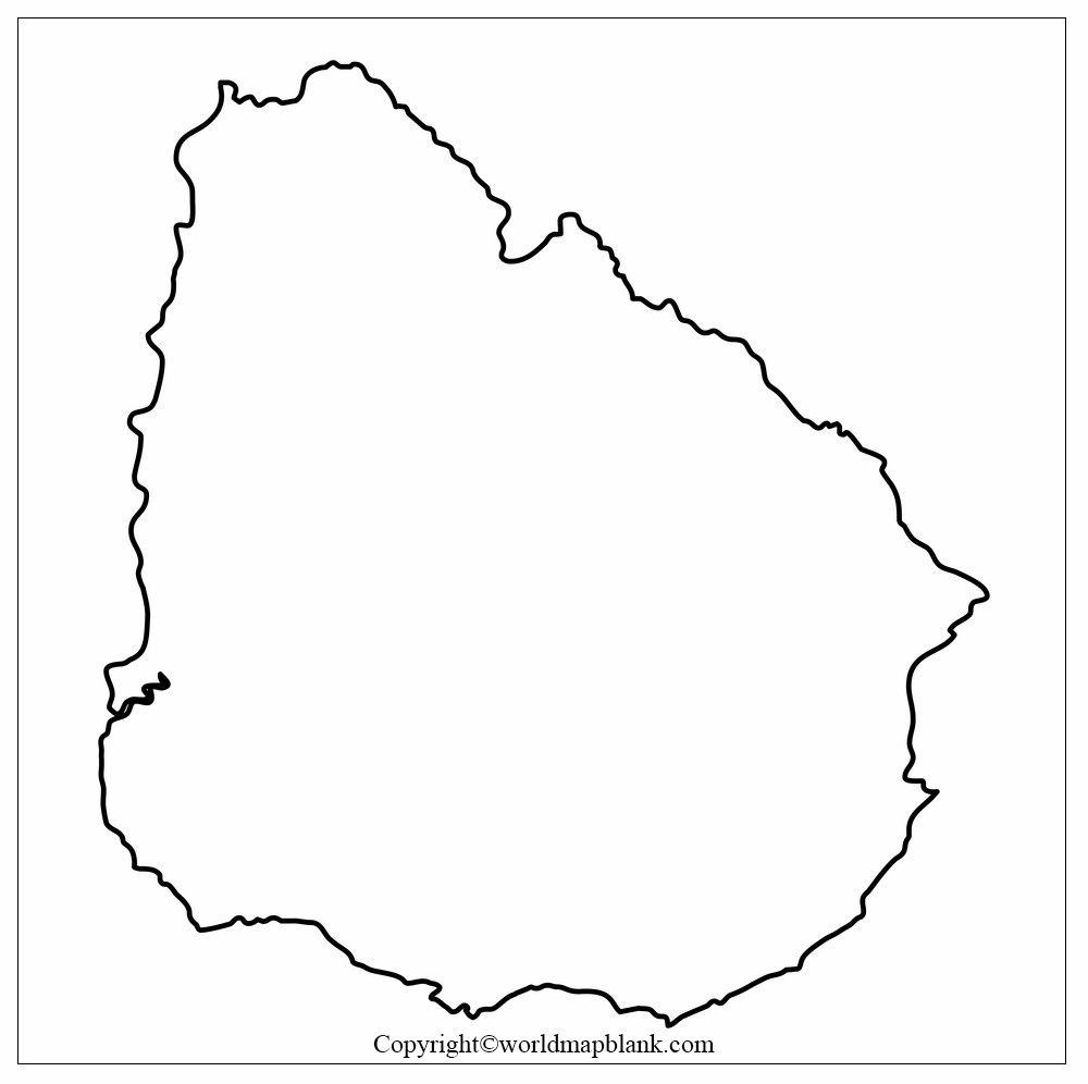
The blank map of Uruguay in outline format provides a clean country boundary without unnecessary labels. It can be used as a base map for geography assignments, classroom exercises, map drawing, and labeling activities.
Students can use the outline to practice locating Uruguay’s neighboring countries, coastline, departments, rivers, and important geographic locations.
The official Uruguayan Military Geographic Institute describes Uruguay as being between approximately 30° and 35° south latitude and 53° and 58° west longitude. Its geography is characterized by gently undulating terrain rather than high mountain ranges.
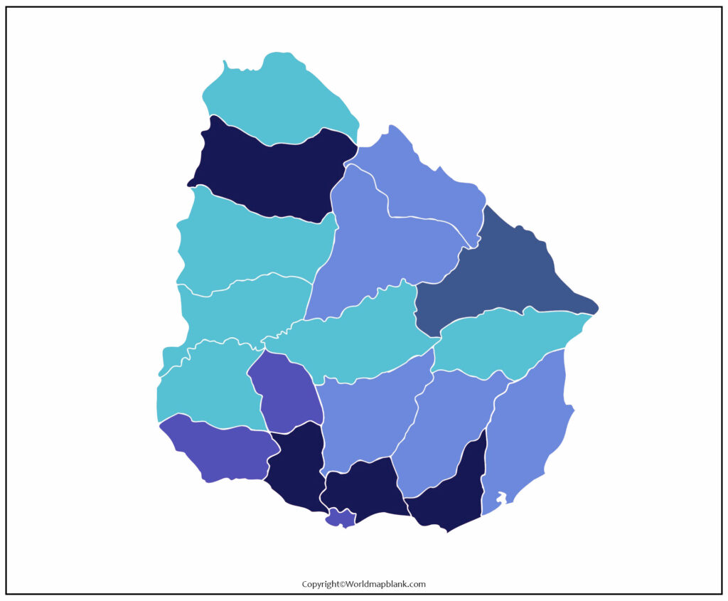
Printable Map of Uruguay
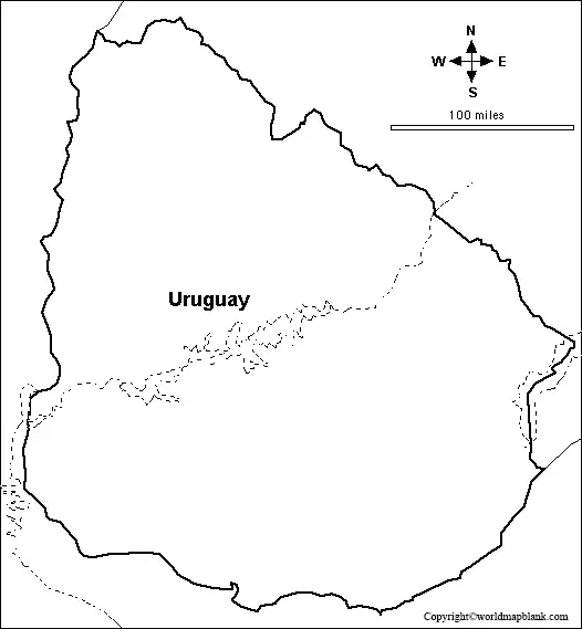
A printable map of Uruguay can be useful for students, teachers, homeschool activities, researchers, and anyone studying South American geography.
You can print the map and use it for:
- Geography homework
- Classroom map-labeling activities
- Country identification exercises
- South America study
- Geography quizzes
- Research projects
- Map-drawing practice
- Travel and location reference
For better learning, students can label the country’s neighboring countries, major rivers, departments, capital city, and coastal areas directly on the printed map.
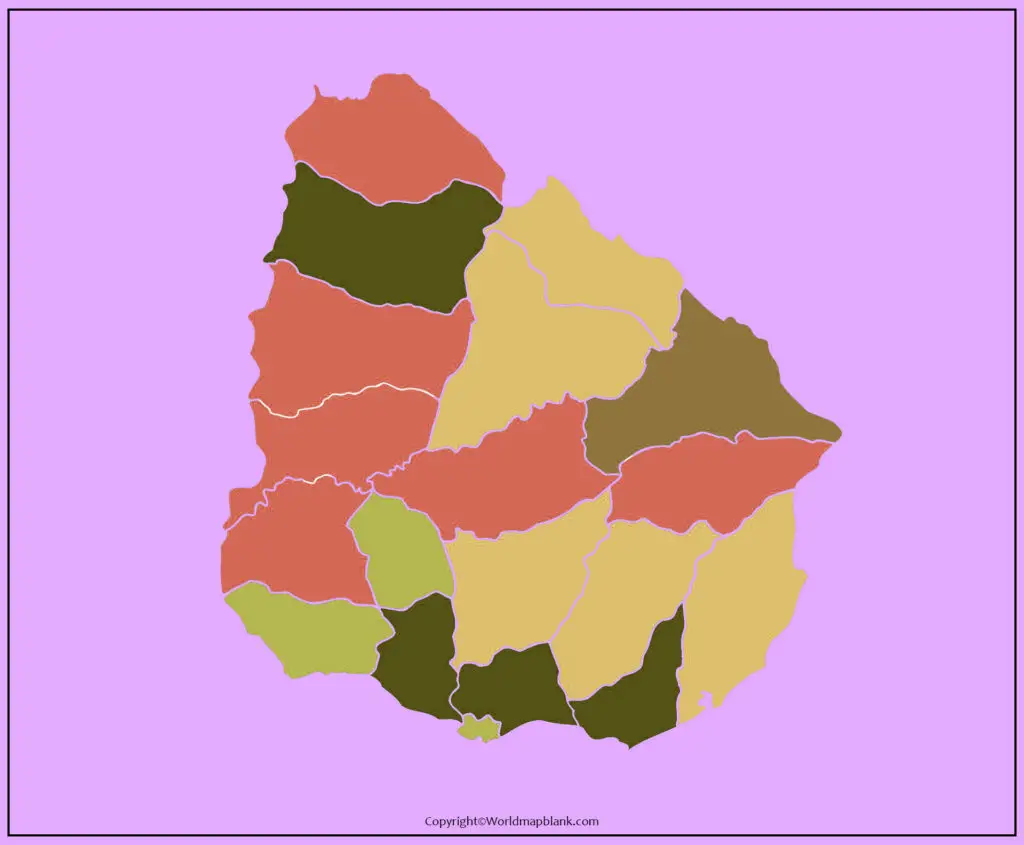
Transparent PNG Blank Map of Uruguay
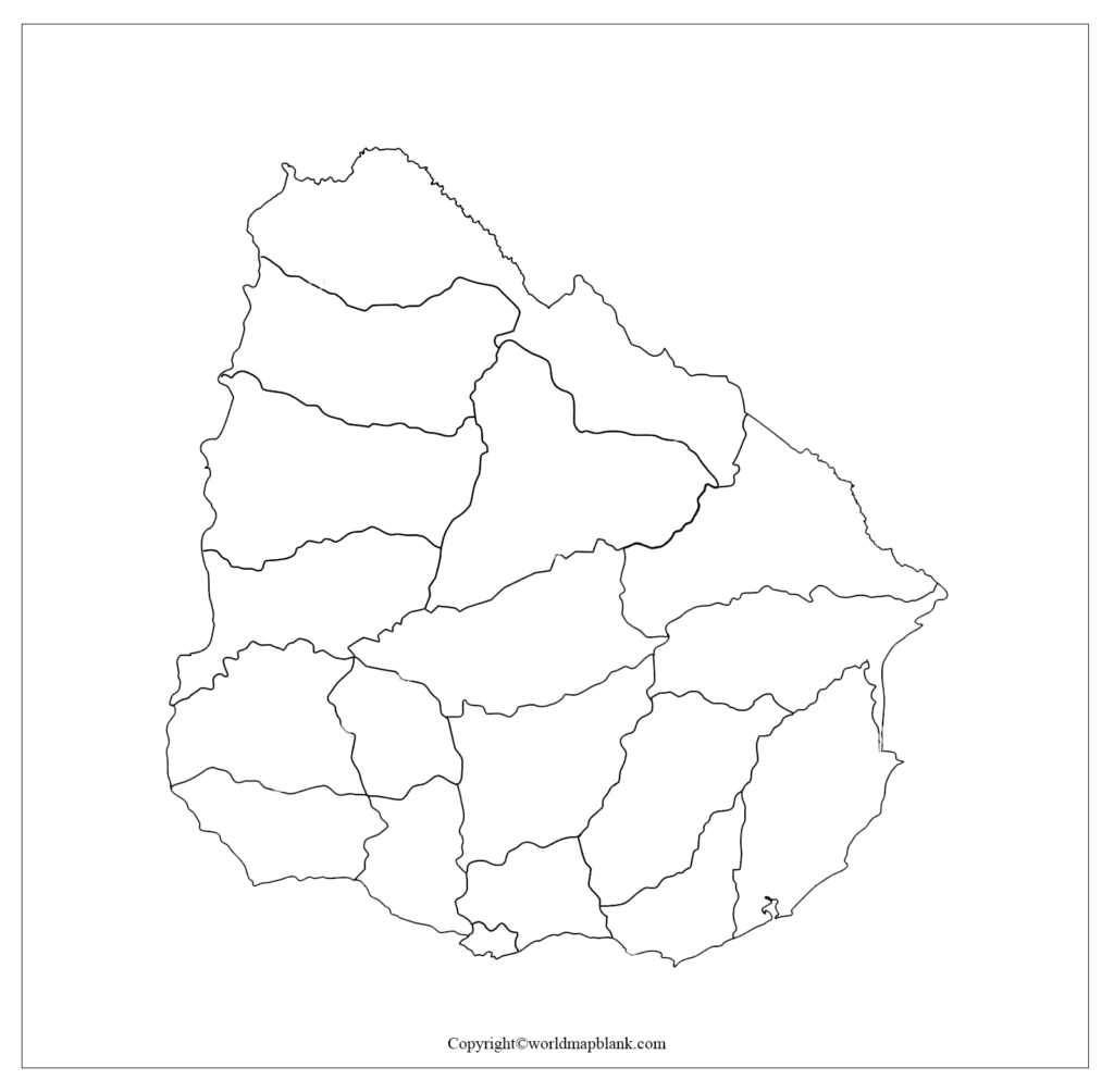
The transparent PNG version of the blank map of Uruguay can be useful when creating presentations, worksheets, educational graphics, and geography projects.
Because the background is transparent, the map can be placed over another background or combined with labels, symbols, photographs, and other educational elements.
For digital projects, users should check the image dimensions and intended usage before incorporating the map into presentations or published materials.
Uruguay Map Blank Worksheet
A Uruguay map worksheet gives students an opportunity to practice geography instead of simply viewing a completed map.
A worksheet can be used to test knowledge of:
- Uruguay’s location in South America
- Neighboring countries
- Montevideo
- Department boundaries
- Major rivers
- Río de la Plata
- Atlantic coastline
- Physical geography
- Map orientation and labeling
Teachers can also use blank maps as assessment materials by asking students to identify geographic features without providing labels.
Uruguay Geography Facts
The blank map of Uruguay becomes more useful when combined with a few verified geographic facts.
| Fact | Information |
|---|---|
| Country | Uruguay |
| Region | South America |
| Capital | Montevideo |
| Land area | 175,016 km² |
| Administrative divisions | 19 departments |
| Northern / northeastern border | Brazil |
| Western border | Argentina |
| Southern boundary | Río de la Plata |
| Eastern / southeastern coast | Atlantic Ocean |
| Highest point | Cerro Catedral, 513.6 m |
| Approx. latitude | 30°–35° S |
| Approx. longitude | 53°–58° W |
The geographic boundaries and highest point are documented by Uruguay’s official geographic authorities, while the area and administrative information are reported by the country’s statistical and government institutions.
Uruguay’s 19 Departments
Uruguay is administratively divided into 19 departments. These divisions are useful to study when using a labeled or blank administrative map.
The departments are:
Artigas, Canelones, Cerro Largo, Colonia, Durazno, Flores, Florida, Lavalleja, Maldonado, Montevideo, Paysandú, Río Negro, Rivera, Rocha, Salto, San José, Soriano, Tacuarembó, and Treinta y Tres.
According to Uruguay’s 2025 National Statistical Yearbook, Montevideo had an estimated 2024 population of 1,288,788, while Canelones was the second-largest department by population at 614,183.
This makes an unlabeled departmental map particularly useful for geography exercises.
Rivers and Physical Geography of Uruguay
Uruguay has a dense and highly branched river network. Important drainage systems include the Río Uruguay, Río Negro, Río de la Plata, and Laguna Merín basins.
The country’s landscape is generally characterized by gently rolling terrain rather than extensive high mountains. Cerro Catedral, at approximately 513.6 metres, is identified by Uruguay’s Military Geographic Institute as the country’s highest point.
These physical features make a blank map of Uruguay useful for lessons involving rivers, watersheds, relief, and coastal geography.
Why Use a Blank Map of Uruguay?
A blank map encourages active learning because students have to recall and identify geographic information rather than simply reading labels.
It can be used for:
Students: geography revision, homework, quizzes, and map-labeling practice.
Teachers: classroom exercises, worksheets, assessments, and interactive lessons.
Researchers: basic geographic reference and presentation material.
Designers: educational graphics and presentations when permitted by the relevant image license.
Parents and homeschool educators: geography practice and South America learning activities.
How to Use a Blank Uruguay Map for Study
For an effective geography exercise, print an outline map and complete the following tasks:
- Mark Montevideo, the capital.
- Label Brazil to the north and northeast.
- Label Argentina to the west.
- Identify the Río de la Plata.
- Mark the Atlantic Ocean coastline.
- Add Uruguay’s 19 departments.
- Identify major rivers.
- Mark important physical features.
- Use a second copy to check your answers.
This approach turns a simple map into a reusable geography study tool.
Uruguay Map: Printable, Outline, PNG or Worksheet?
Different map formats serve different purposes.
| Map Type | Best Use |
|---|---|
| Outline map | Drawing and labeling |
| Printable map | Classroom and home study |
| Transparent PNG | Digital projects and presentations |
| Blank worksheet | Tests and geography practice |
| Department map | Administrative geography |
| Physical map | Rivers, terrain and landforms |
For basic geography practice, an outline blank map of Uruguay is usually the most versatile option because students can add their own labels and geographic information.
Frequently Asked Questions
What is a blank map of Uruguay used for?
A blank map of Uruguay can be used for geography practice, classroom activities, map-labeling exercises, homework, quizzes, presentations, and independent study.
Where is Uruguay located?
Uruguay is located in southeastern South America. It borders Brazil to the north and northeast, Argentina to the west, the Río de la Plata to the south, and the Atlantic Ocean to the east and southeast.
What is the capital of Uruguay?
The capital of Uruguay is Montevideo, which is also the country’s most populous department. INE reported an estimated 2024 population of 1,288,788 for Montevideo.
How many departments does Uruguay have?
Uruguay has 19 departments.
What is the area of Uruguay?
Uruguay’s land area is approximately 175,016 km², according to Uruguay’s National Institute of Statistics.
What countries border Uruguay?
Uruguay has two land-border neighbors: Brazil and Argentina. Its southern and southeastern boundaries include the Río de la Plata and Atlantic Ocean.
What is the highest point in Uruguay?
The highest point is Cerro Catedral, which the Military Geographic Institute gives as approximately 513.6 metres above sea level.
Can I use a blank Uruguay map for school?
Yes. Blank maps are useful for school geography assignments, labeling exercises, revision, quizzes, and map-drawing activities. Check the specific image or PDF licensing terms before redistributing or republishing the files.
Is Uruguay the smallest country in South America?
No. The original content’s statement that Uruguay is the second-smallest country in South America after Suriname should be removed. Suriname is smaller by area, while Uruguay is larger; comparisons also depend on whether land area or total area is being measured.
Reference Links
https://www.gub.uy/ministerio-economia-finanzas/institucional/uruguay/ubicacion-geografica









