


Categories
Latest Articles
Join Our Email List
Sign up to receive the latest articles right in your inbox.
email address
*Replace this mock form with your preferred form plugin

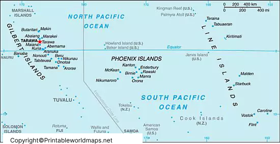
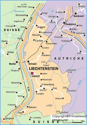
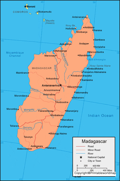
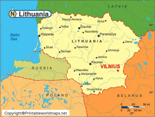
Explore our collection of Labeled Maps to identify countries, continents, oceans, capital cities, and other geographical features. These maps are useful for students, teachers, parents, and geography enthusiasts who want to understand the world’s geography more easily. Whether you are preparing for a school assignment, planning a classroom activity, or improving your geographical knowledge, labeled maps provide a helpful visual reference for learning and revision.
Our labeled map collection may include world maps, country maps, and continent maps featuring geographical names and boundaries, depending on the available resources. Use these printable maps for educational projects, geography lessons, and independent study. For additional geographical information, consult reliable resources such as National Geographic Education and Natural Earth. Always check the labels, geographical details, and publication date of each map, particularly when using it for research or educational reference.
Categories
Latest Articles
Join Our Email List
Sign up to receive the latest articles right in your inbox.
email address
*Replace this mock form with your preferred form plugin