
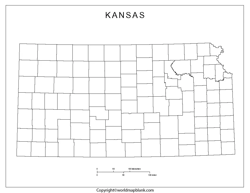
Blank Map of Kansas resources are useful for students, teachers, homeschoolers, researchers, and anyone studying the geography of the Sunflower State. This collection includes printable outline maps, transparent PNG maps, and practice worksheets that can be used for labeling, classroom activities, geography projects, and personal study.
Kansas is located in the Midwestern United States. Its capital is Topeka, while Wichita is the state’s largest city by population. Kansas shares borders with Nebraska to the north, Missouri to the east, Oklahoma to the south, and Colorado to the west.
The maps below provide simple, uncluttered outlines that can be printed or used digitally for geography practice.
Blank Map of Kansas – Outline
A Blank Map of Kansas is useful when you need an uncluttered state outline for labeling cities, counties, rivers, neighboring states, geographic regions, or other features.
Kansas covers approximately 82,278 square miles (213,100 square kilometers). The state is generally characterized by broad plains and prairie landscapes, although its terrain varies from the eastern part of the state to the western High Plains.
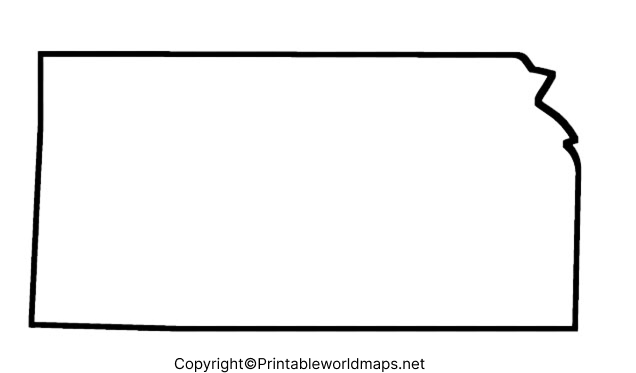
How to Use the Kansas Outline Map
Students can use the outline to:
- Label the four neighboring states
- Mark Topeka and Wichita
- Identify major rivers
- Practice locating Kansas counties
- Draw geographic regions
- Create school geography projects
- Test their knowledge without seeing labels
For teachers, an outline map can also be used as a printable classroom worksheet or geography assessment.
Printable Map of Kansas
A Printable Map of Kansas provides a convenient way to study the state’s location, shape, and geography on paper. A printable map can be particularly useful for classroom exercises, homeschool lessons, geography assignments, and educational activities.
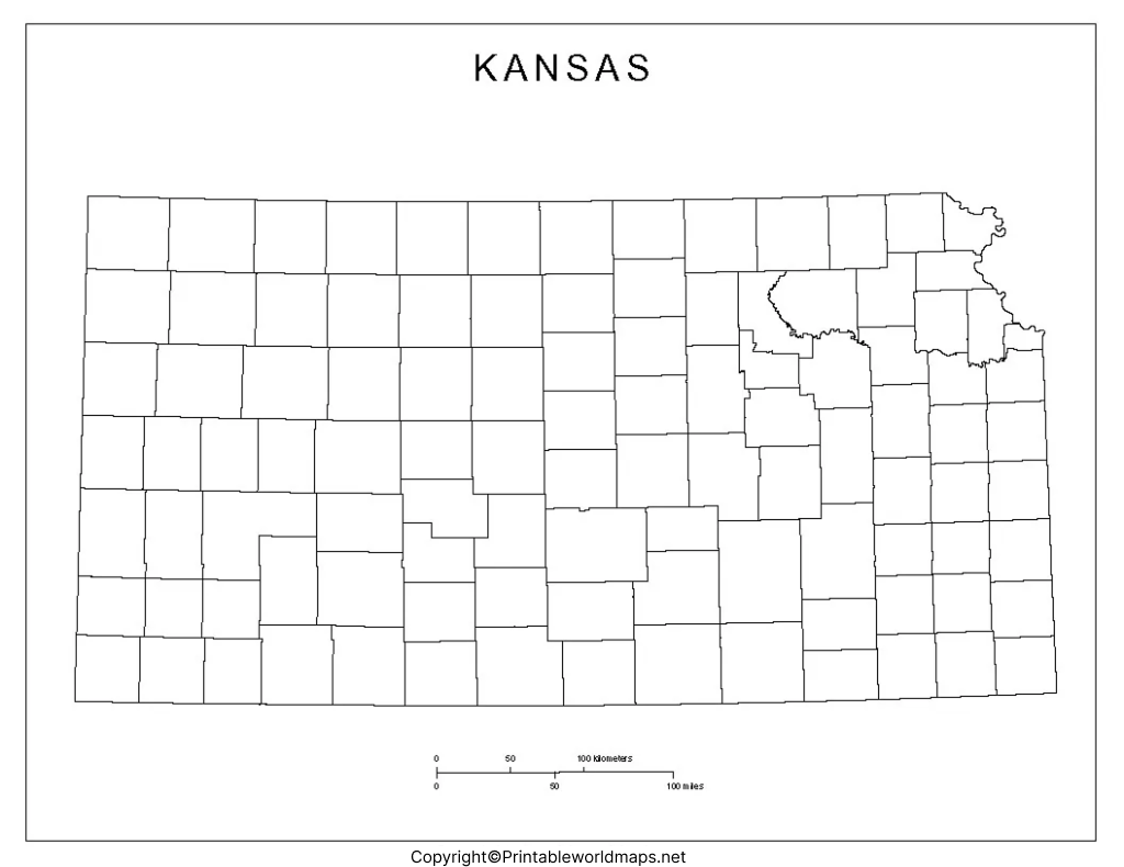
For best printing results, choose the PDF version when a printer-friendly document is available. PNG files are useful when you want to place the map into a presentation, worksheet, document, or digital lesson.
Transparent PNG Kansas Map
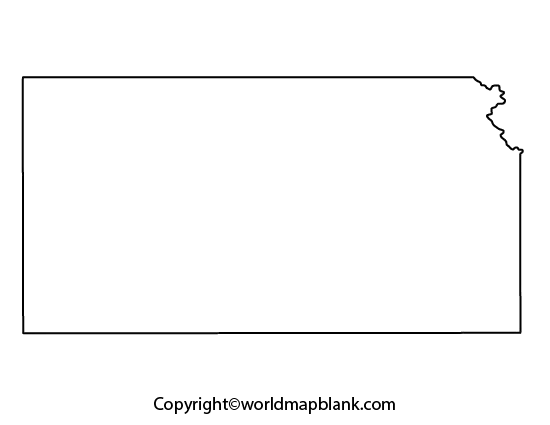
A Transparent PNG Kansas Map can be useful for digital projects because the transparent background makes it easier to place the Kansas outline over another background or design.
Transparent PNG maps can be useful for:
- Presentations
- Educational worksheets
- Website graphics
- Geography projects
- Digital classroom materials
- Infographics
- Map-labeling activities
Blank Map of Kansas worksheet
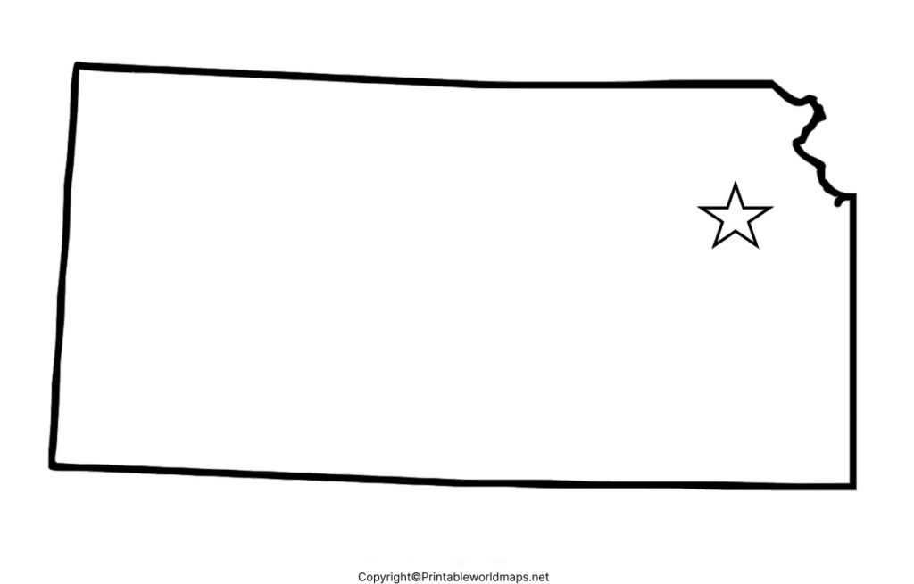
A Blank Map of Kansas Worksheet gives students a practical way to reinforce geographic knowledge through repeated labeling and map exercises.
Kansas Geography Facts
The Blank Map of Kansas becomes more useful when paired with basic geographic facts.
| Fact | Information |
|---|---|
| State | Kansas |
| Region | Midwestern United States |
| Capital | Topeka |
| Largest city | Wichita |
| Area | About 82,278 sq mi / 213,100 km² |
| Northern border | Nebraska |
| Eastern border | Missouri |
| Southern border | Oklahoma |
| Western border | Colorado |
| Statehood | January 29, 1861 |
| State nickname | The Sunflower State |
Kansas was admitted to the Union as the 34th state on January 29, 1861.
Where Is Kansas Located?
Kansas occupies a central position in the contiguous United States. It borders Nebraska, Missouri, Oklahoma, and Colorado, making a blank outline map particularly useful for learning its position relative to surrounding states.
Kansas is also associated with the Great Plains, and much of the state’s landscape consists of prairie and agricultural land.
Major Cities to Locate on a Kansas Map
A useful map activity is to identify some of Kansas’s major population centers.
- Wichita
- Overland Park
- Kansas City
- Olathe
- Topeka
- Lawrence
- Shawnee
- Manhattan
- Salina
- Hutchinson
When using a blank map, students can mark these locations themselves and compare their completed work with a labeled reference map.
Kansas Rivers and Geographic Features
A more advanced worksheet can include Kansas’s important rivers and physical geography.
Some notable rivers associated with Kansas include:
- Kansas River
- Missouri River
- Arkansas River
- Republican River
- Smoky Hill River
- Solomon River
Kansas also contains portions of the Great Plains and High Plains, while the eastern part of the state has more varied terrain and greater tree cover than the western plains.
Kansas Map Activities for Students
A blank state map can be adapted for different grade levels.
Elementary Students
Students can identify:
- Kansas
- Neighboring states
- Topeka
- Wichita
- Basic directions
Middle School Students
Students can add:
- Major cities
- Rivers
- Counties
- Geographic regions
- Agricultural areas
High School and College Students
A blank map can be used for more detailed exercises involving:
- Population distribution
- Physical geography
- Transportation
- Agricultural regions
- Historical geography
- Regional analysis
This makes the same map resource useful for several levels of geography education.
Why Use a Blank Kansas Map?
A blank map removes many visual distractions and allows learners to actively recall geographic information.
It can be used for:
- Geography lessons
- School assignments
- Homeschool activities
- Classroom quizzes
- State studies
- Printable worksheets
- Geography competitions
- Research projects
- Digital presentations
Instead of simply reading a labeled map, students can actively identify locations themselves, which makes the resource useful for practice and assessment.
Frequently Asked Questions About the Blank Map of Kansas
What is a Blank Map of Kansas?
A Blank Map of Kansas is an unlabeled outline of the state that can be printed or used digitally for geography practice, labeling exercises, educational projects, and map activities.
Where is Kansas located?
Kansas is located in the Midwestern United States. It borders Nebraska to the north, Missouri to the east, Oklahoma to the south, and Colorado to the west.
What is the capital of Kansas?
Topeka is the capital of Kansas.
What is the largest city in Kansas?
Wichita is the largest city in Kansas by population.
What is the area of Kansas?
Kansas covers approximately 82,278 square miles (213,100 square kilometers).
When did Kansas become a state?
Kansas became the 34th U.S. state on January 29, 1861.
What is Kansas’s nickname?
Kansas is commonly known as the Sunflower State.
Can I print the Kansas blank map?
Yes. The PNG and PDF resources on this page can be used for printing, depending on the specific file and its intended use.
What can students label on a blank Kansas map?
Students can label neighboring states, cities, rivers, counties, geographic regions, and other features depending on the learning objective.
Is a Kansas blank map useful for homeschooling?
Yes. An outline map can be incorporated into homeschool geography lessons, state studies, quizzes, and map-labeling activities.
Reference Links
https://www.census.gov/quickfacts/fact/table/KS/PST045225
https://www2.census.gov/geo/pdfs/maps-data/maps/reference/us_regdiv.pdf









