
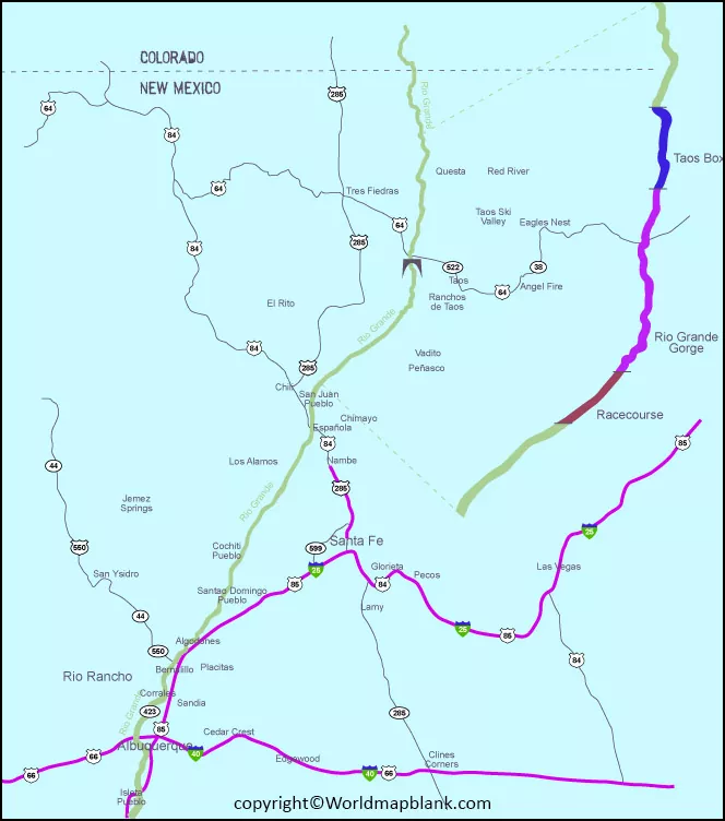
The Rio Grande River Map shows the course of one of the most important rivers in the southwestern United States and northern Mexico. The river begins in the Rocky Mountains of Colorado, flows through New Mexico, reaches Texas, and eventually empties into the Gulf of Mexico. Along part of its course, it forms the international boundary between the United States and Mexico.
The Rio Grande is approximately 1,896 miles (3,051 km) long. Its basin covers roughly 335,000 square miles across the United States and Mexico, although basin measurements can vary depending on the geographic definition used. The basin includes parts of Colorado, New Mexico, and Texas in the United States, as well as Chihuahua, Durango, Coahuila, Nuevo León, and Tamaulipas in Mexico according to different basin delineations.
This page provides printable Rio Grande maps, information about the river’s route, major tributaries, the U.S.-Mexico border section, important geographic locations, and reliable resources for students, teachers, researchers, and geography enthusiasts.
Rio Grande River Map
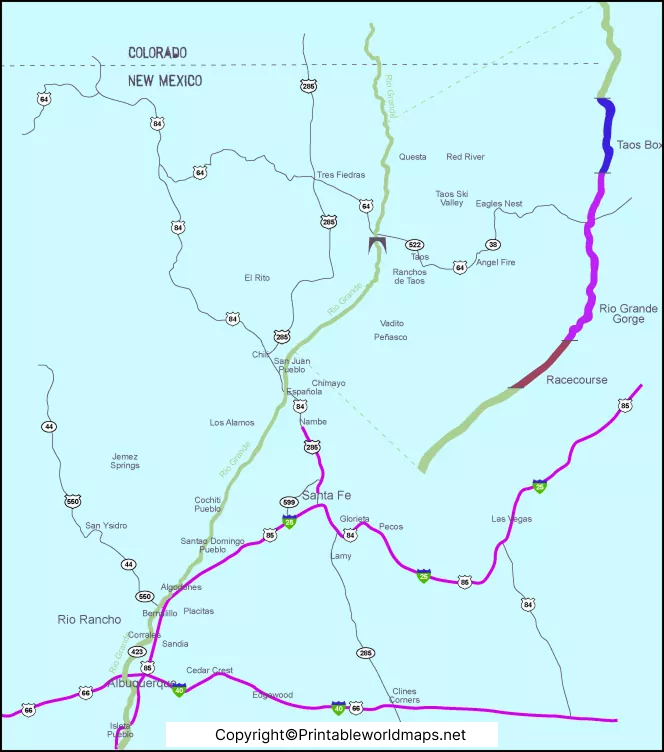
The Rio Grande’s headwaters are in south-central Colorado within the Rio Grande National Forest. The U.S. Forest Service identifies the Rio Grande National Forest as the location of the river’s headwaters. From Colorado, the river flows south through New Mexico before continuing into Texas.
The river then flows through landscapes ranging from mountain valleys and high desert to canyons and irrigated agricultural areas. Near El Paso, Texas, the Rio Grande becomes the international boundary between the United States and Mexico for approximately 1,250 miles before reaching the Gulf of Mexico. The exact boundary distance varies slightly among official sources and measurement methods.
The river is particularly important because its water supports communities, agriculture, ecosystems, recreation, and international water management.
Rio Grande River on US map
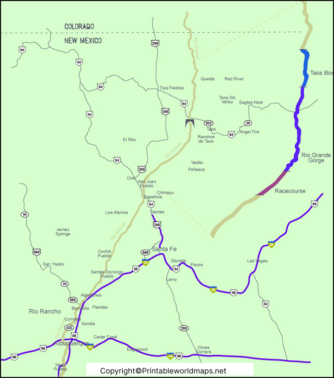
The Rio Grande passes through Colorado, New Mexico, and Texas in the United States. It is one of the defining geographic features of the Southwest and is especially significant in Texas, where a long section of the river forms the international boundary with Mexico.
Important places associated with the river include:
- Rio Grande National Forest, Colorado – associated with the river’s headwaters.
- San Luis Valley, Colorado – an important upper-basin landscape.
- New Mexico – the river flows south through much of the state.
- El Paso, Texas / Ciudad Juárez, Chihuahua – a major international border region.
- Big Bend National Park, Texas – the Rio Grande forms the park’s southern boundary.
- Presidio, Texas / Ojinaga, Chihuahua – the Rio Conchos joins the Rio Grande in this region.
- Amistad Reservoir and Falcon Reservoir – important international water-storage facilities.
- Gulf of Mexico – the river’s downstream destination.
The International Boundary and Water Commission (IBWC) manages and monitors many aspects of the river’s international boundary and water resources. Its water-data resources include streamflow, reservoir, and water-delivery information.
Rio Grande River Texas Map
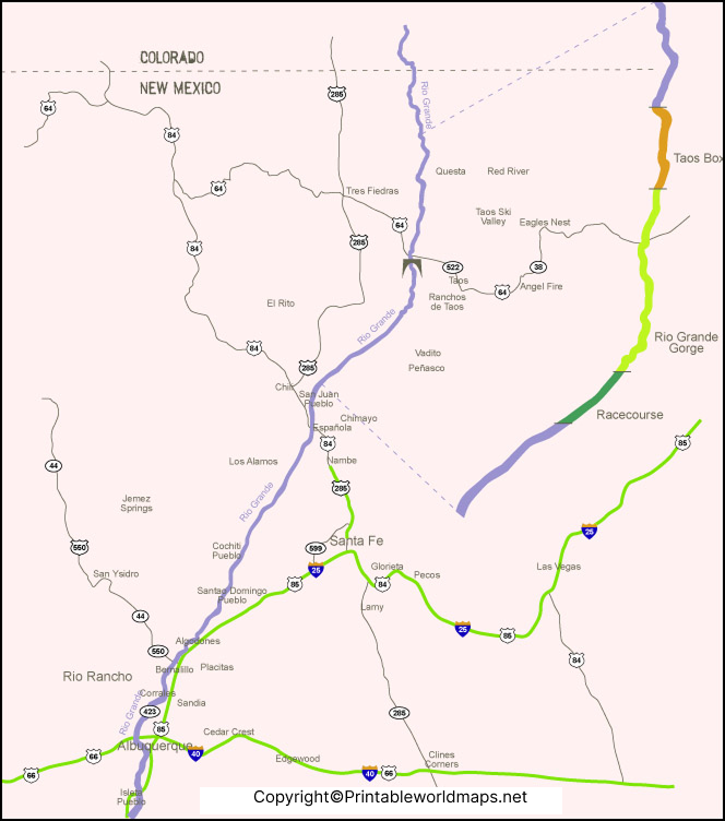
Texas contains a major portion of the Rio Grande’s international-border reach. The river forms the boundary between Texas and Mexico from the El Paso area toward the Gulf of Mexico. The IBWC describes the Texas portion of the international boundary as approximately 1,255 miles.
Several important tributaries contribute water to the Rio Grande in Texas and the surrounding basin. The Rio Conchos is one of the most important Mexican tributaries. It joins the Rio Grande near Presidio, Texas, and Ojinaga, Chihuahua. The IBWC notes that the Rio Conchos can substantially increase the river’s flow in this area.
The Pecos River is the largest major U.S. tributary of the Rio Grande. It rises in New Mexico, flows through Texas, and eventually joins the Rio Grande in southwestern Texas. Other tributaries include the Devils River and several smaller streams and arroyos.
The Rio Grande is also important for agriculture and municipal water supplies. Because the basin is largely arid or semi-arid, water allocation and conservation are major issues throughout the river system.
Rio Grande River Map Printable
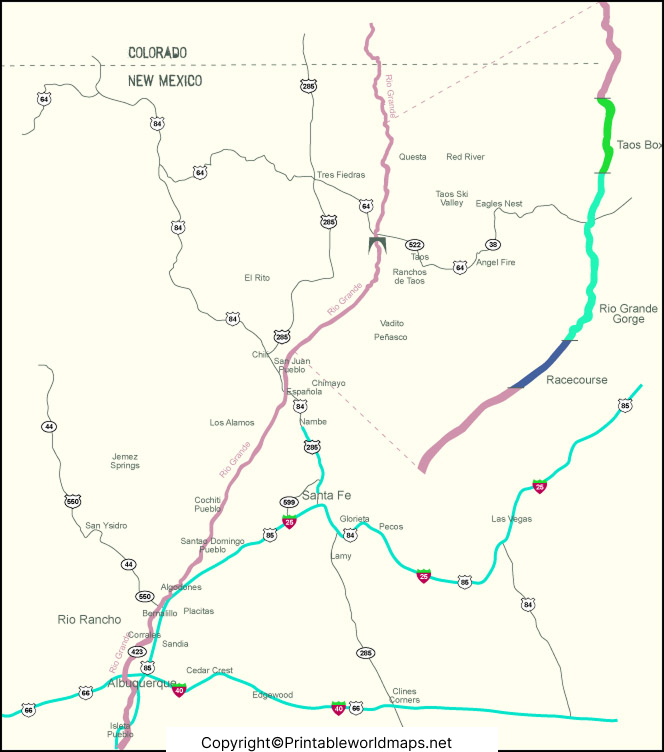
A printable Rio Grande map can be useful for geography lessons, classroom assignments, research projects, travel planning, and general reference. A map can help users identify the river’s headwaters, major cities, tributaries, border region, and route toward the Gulf of Mexico.
For educational use, it is helpful to compare a general river map with official geographic and water-resource data. The IBWC provides basin maps, GIS resources, monitoring information, and water data for the Rio Grande system.
Rio Grande River Headwaters and Route
The Rio Grande begins in the mountains of Colorado. The Rio Grande National Forest is located in south-central Colorado and contains the river’s headwaters. From the high country, the river travels through the San Luis Valley before continuing into New Mexico.
In New Mexico, the Rio Grande passes through several important geographic areas, including the Rio Grande Gorge region and the Middle Rio Grande Valley. It then continues south toward Texas.
At El Paso, the river enters an important international-border section. From there, it generally flows southeast along the Texas-Mexico border before reaching the Gulf of Mexico.
Major Rio Grande River Tributaries
The Rio Grande receives water from numerous tributaries throughout its basin. Some of the best-known
tributaries include:
- Rio Conchos – a major tributary entering from Mexico near Presidio, Texas.
- Pecos River – the largest major U.S. tributary of the Rio Grande.
- Devils River – a Texas tributary that enters the Rio Grande upstream of Amistad Reservoir.
- Rio Chama – an important tributary in northern New Mexico.
- Conejos River – part of the upper Rio Grande system in Colorado.
- Santa Fe River – a tributary associated with the Rio Grande system in New Mexico.
Tributary importance can vary depending on whether the measurement is based on drainage area, average flow, length, or another hydrologic characteristic.
Rio Grande River and the US-Mexico Border
One of the most important geographic characteristics of the Rio Grande is its role as an international boundary.
The river forms the U.S.-Mexico boundary for approximately 1,250 miles, according to the National Park Service and IBWC. The boundary follows the river through much of Texas and separates communities on opposite sides of the river.
The IBWC administers and applies treaties and agreements concerning the international boundary and water resources. Important agreements include the 1906 Convention, the 1933 Rectification Convention, and the 1944 Water Treaty.
The 1944 treaty established important rules for the allocation and management of Rio Grande waters between the United States and Mexico.
Rio Grande River at Big Bend
The Rio Grande is also an important natural feature of Big Bend National Park in Texas. The river forms the park’s southern boundary and flows through dramatic desert landscapes and canyons.
The National Park Service manages the Rio Grande Wild & Scenic River, a 196-mile free-flowing section associated with Big Bend National Park. The area is known for its canyons, desert scenery, wildlife habitat, and recreational opportunities.
This section demonstrates that the Rio Grande is more than an international boundary and water resource. It is also an important ecological, geological, recreational, and cultural landscape.
Rio Grande River Map: Important Facts
| Feature | Fact |
|---|---|
| River | Rio Grande |
| Approximate length | 1,896 miles (3,051 km) |
| Headwaters | Colorado Rocky Mountains |
| U.S. states in main basin | Colorado, New Mexico, Texas |
| International boundary | U.S.-Mexico border |
| Major Mexican tributary | Rio Conchos |
| Major U.S. tributary | Pecos River |
| Major protected landscape | Big Bend National Park |
| Downstream destination | Gulf of Mexico |
| Major international agency | International Boundary and Water Commission |
The exact measurements of the river and basin can differ among sources because hydrologic boundaries and measurement methods are not always identical. For authoritative research, official agencies such as the USIBWC, U.S. Geological Survey, U.S. Forest Service, and National Park Service are preferable primary sources.
Why the Rio Grande River Map Is Useful
A Rio Grande map is useful for understanding the geography of the southwestern United States and northern Mexico. Students can use it to identify the river’s route, tributaries, border communities, and relationship with surrounding physical features.
Researchers and educators can also use maps together with official water-quality, streamflow, GIS, and basin data to study the river system in greater detail. The IBWC provides basin maps and GIS resources for the Texas portion of the Rio Grande Basin.
Uses for a Rio Grande Map
- Geography and social studies assignments
- Classroom presentations
- River and watershed research
- U.S.-Mexico border studies
- Environmental research
- Agriculture and water-resource studies
- Travel and regional planning
- Printable geography reference
Frequently Asked Questions About the Rio Grande River
Where does the Rio Grande begin?
The Rio Grande begins in the Rocky Mountains of Colorado. Its headwaters are associated with the Rio Grande National Forest in south-central Colorado.
How long is the Rio Grande River?
The Rio Grande is approximately 1,896 miles (3,051 km) long.
Which states does the Rio Grande flow through?
The Rio Grande flows through or forms an important part of the river system in Colorado, New Mexico, and Texas in the United States.
Does the Rio Grande form the US-Mexico border?
Yes. The Rio Grande forms the international boundary between the United States and Mexico for approximately 1,250 miles, primarily along Texas.
Where does the Rio Grande end?
The Rio Grande flows into the Gulf of Mexico near the southern Texas coast.
What is the largest tributary of the Rio Grande?
The Pecos River is the largest major tributary on the U.S. side. The Rio Conchos is a major tributary entering from Mexico and has a substantial influence on flow near Presidio.
Why is the Rio Grande important?
The Rio Grande is important for water supply, agriculture, ecosystems, recreation, geography, and the international boundary between the United States and Mexico.
Is there a printable Rio Grande River Map?
Yes. The maps above are available as PNG and PDF files and can be used for educational and reference purposes.
Is the Rio Grande the same as the Rio Bravo?
Yes. Rio Grande is the name commonly used in the United States, while Río Bravo del Norte or Río Bravo is commonly used in Mexico.
Reference Links
https://www.ibwc.gov/wp-content/uploads/2024/09/Rio-Grande-Basin-Summary-Report-Final_IBWC.pdf
https://www.ibwc.gov/water-data
https://www.fs.usda.gov/media/70466
https://www.nps.gov/rigr/index.htm
https://home.nps.gov/rigr/learn/index.htm
https://water.usgs.gov/watercensus/file/Vol_4_Rio_Grande.pdf









