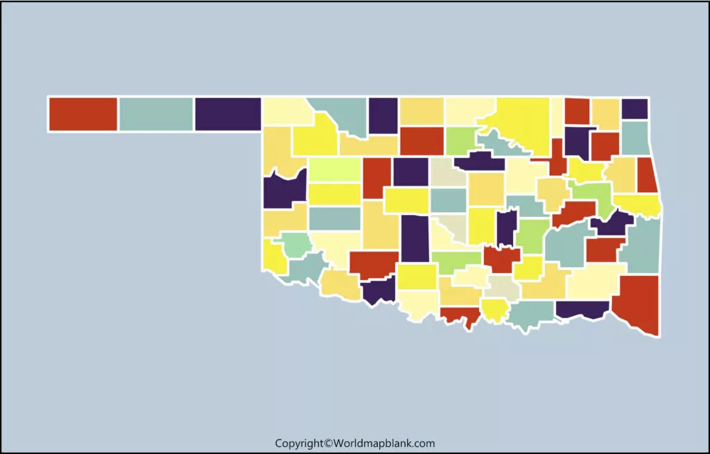
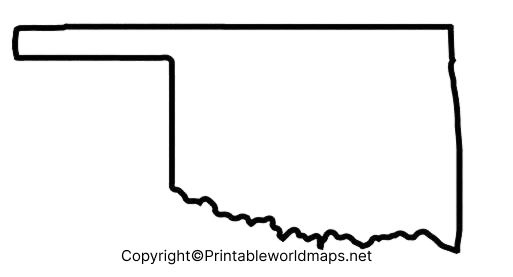
By viewing a Blank Map of Oklahoma, the greatest advantage that anyone can gain is that the user will be able to understand the location of this state, in the US. Besides, the map also provides an insight into the details of Oklahoma, like the area occupied by the state, boundaries and bordering states, climate, regions of history as well as geographical importance, capital city location, major cities, lakes, and rivers. Out of the fifty federal states based in the US, Oklahoma is recognized as one among them.
Contents
Blank Map of Oklahoma – Outline
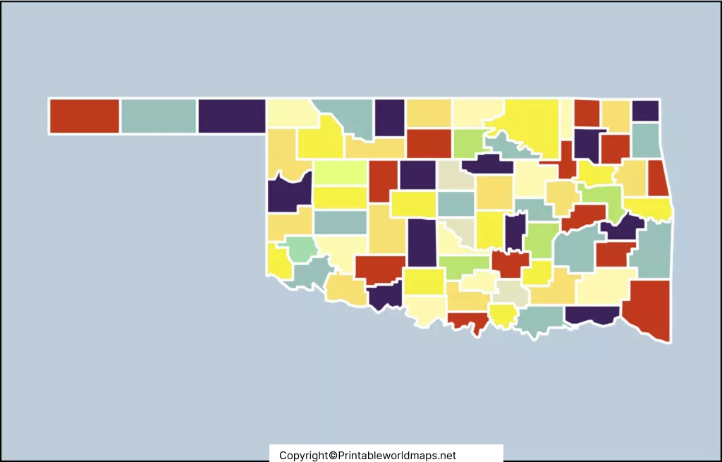
Situated in between the Great Plains and Ozark Mountains, Oklahoma is considered a land-locked state. Nearer to the geographical center of forty-eight adjoining states, this state is located, and has borders with Colorado, in the northwest. It has borders with Kansas in the north, and with Missouri, in the northeast. With Arkansas and Texas, Oklahoma has borders in the south. Oklahoma shares a border with New Mexico at the western end region of the panhandle.
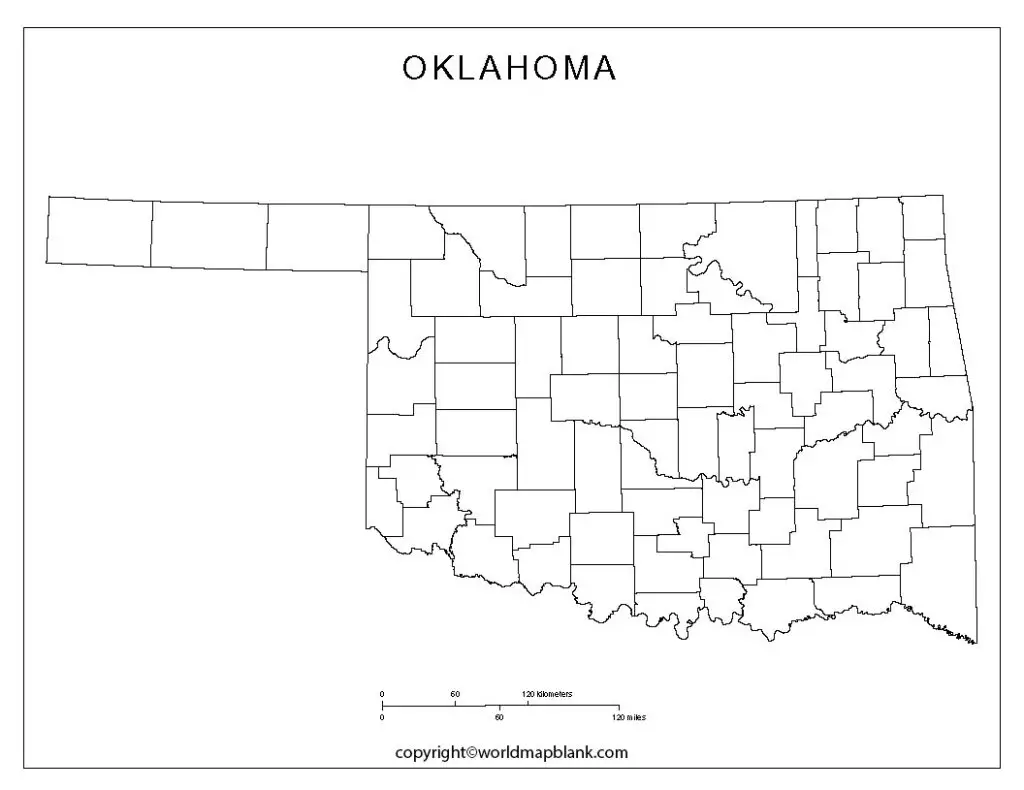
The land area covered by Oklahoma state in the US is 181,195 square kilometers or 69,898 square miles. This area, when compared is found to be somewhat lesser than twice the size of Portugal. It can be said that the area of Oklahoma is found to be eight times larger than that of New Jersey when compared with that of other US states. The blank map version of the Oklahoma outline helps users in discovering the topographic regions of the state and allows them to draw an accurate map.
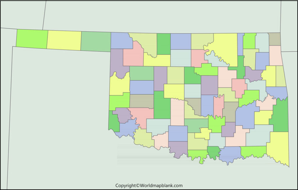
Printable Map of Oklahoma
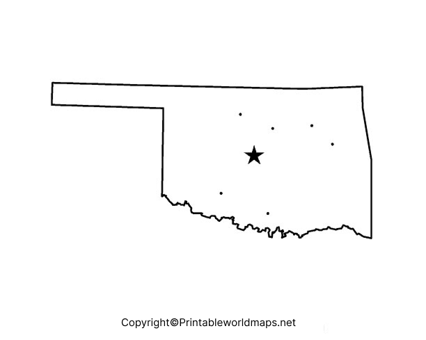
The users can gain access to a printable map of Oklahoma state and start learning about the geography of this US state. This printable map of Oklahoma is made available to them in a very high-resolution format by providing maximum clarity to learners. This is a fully printable map that offers easy learning of the US state of Oklahoma, and its geographical details. Users can use it in their school or for personal home learning.
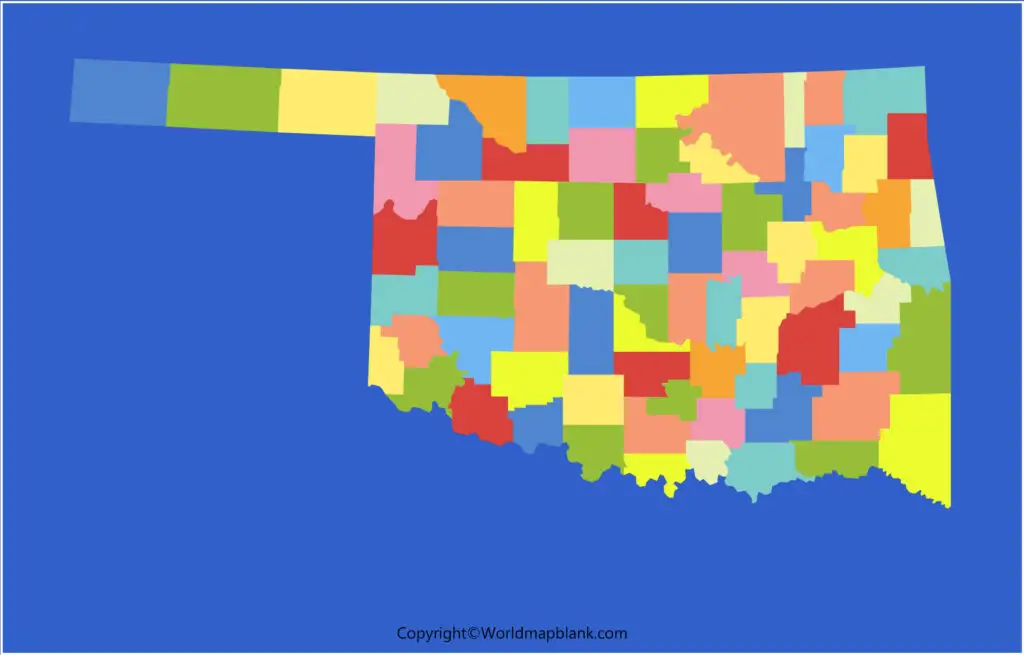
Transparent PNG Blank Map of Oklahoma
A transparent PNG Oklahoma state map is easily accessible online for geographic enthusiasts. The transparent map offers a clear picture of the regions of Oklahoma state. The users can visualize the geographical structure of the state. If the user is a scholar, he or she can use this transparent map for performing a detailed research analysis of the state. They can also prepare a PowerPoint presentation of the Oklahoma printable map and present it in the class as a part of a homework assignment.
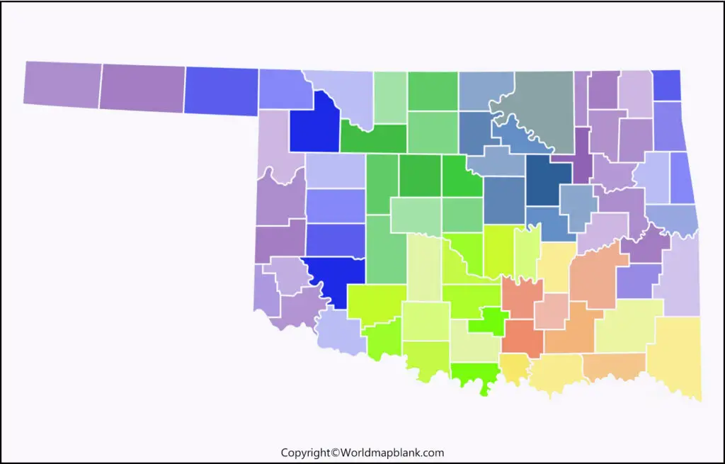
Blank Oklahoma Map worksheet
Importance is given to practice learning as it helps anyone to memorize the geographical details of Oklahoma state. With this idea in mind, the student should cultivate the habit of continuous practice of working on the Oklahoma map worksheet. This enables one to remember the details for a longer period. Users can refer to the Oklahoma map worksheet document and practice answering all the questions in a given time frame accordingly and prepare to face any examination as it helps them.

