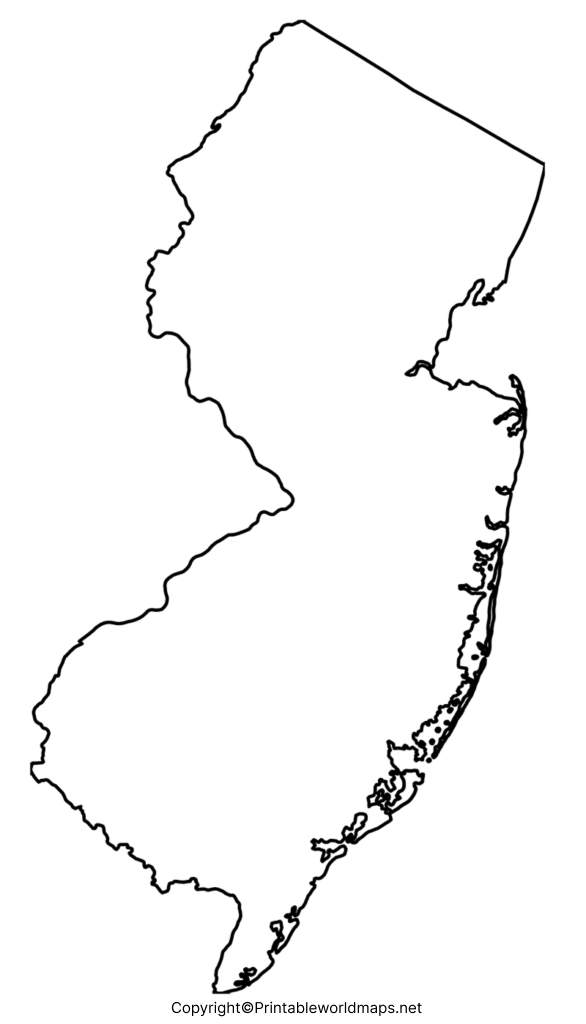
A blank map of New Jersey can be referred to by students and researchers of geography to find out, learn and gather correct information about this state, in the US. Besides, it is possible to find out the exact location of New Jersey state, which is one of the fifty federal states in the US. This state is situated in the northeastern US mainland and has borders with the State of New York in the northeast and north.
Contents
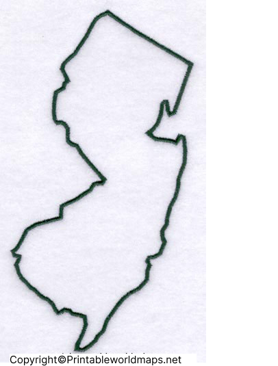
Blank Map of New Jersey – Outline

In the south and southwest, it borders Delaware, and in the west across the Delaware River. It has borders with Pennsylvania. New Jersey is bounded by the Atlantic Ocean in the east. New Jersey state is the fourth-smallest state, occupies an area of 8,721 square miles or 22,608 square kilometers. Compared with the other US states, the area of New Jersey would fit into Texas thirty-one times.

The nickname of New Jersey state is known as, Garden State. This is the most densely populated with an estimated population of approximately 9.4 million. An outlined blank map of New Jersey can be used as a reference guide to drawing the actual map of the state without errors. It is possible to print a blank map of New Jersey on a single sheet of paper. From which the user can identify each county that is not labeled.
Printable Map of New Jersey

A printable map of New Jersey that is easily available on the internet. It can be printed by any user with a single click, using the print option. This is a map that is fully capable of substituting the textbook maps. That can be seen in the geography books. For personalized learning of geography details. The user can effectively use this printable map of New Jersey. It will provide accurate and comprehensive details of the geography of New Jersey state for all learners.

Transparent PNG Blank Map New Jersey

A transparent PNG map of New Jersey is widely recommended for users to explore the details of the geography of this state. It provides a transparent view of the country’s geography enabling the users to gain maximum knowledge about the state and its demographic details. Learners can easily explore all the historical objects. Other details in a transparent way. This map is highly useful for scholars and other explorers who wish to learn and assimilate information with respect to the state’s geography.

Blank New Jersey Map worksheet

Students and researchers can refer to a New Jersey map worksheet, which they consider as the most efficient way of gaining knowledge of the geography of the state. They will be able to download this important worksheet document and use it accordingly. This worksheet includes all the aspects of the US state of New Jersey and its geographical details.

It is designed to cover the questions for practicing and answering within a given time schedule. Working on this important New Jersey map worksheet will enable the user to prepare for geography examination or execute projects as a part of homework assignments.


