Students of geography and other learners can understand the exact location of New Hampshire in the US, by viewing a Blank Map of New Hampshire. This can be easily downloaded to their system by clicking on the option free download. It can be printed from a home-based printer for a detailed study of its geographical boundaries. Other important demographic details can also be gathered about this important US state for the evaluation of projects.
Contents
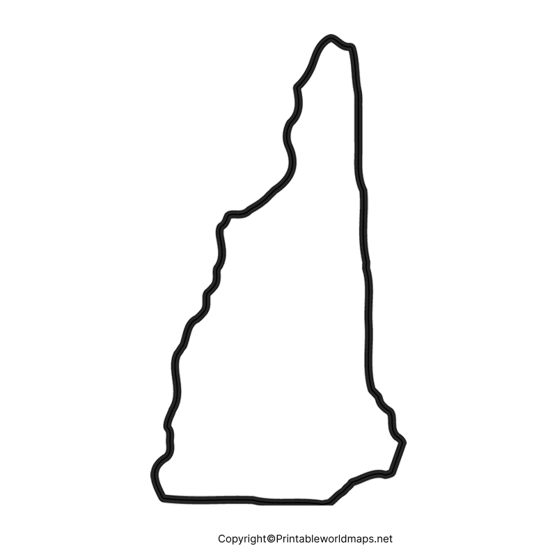
Blank Map of New Hampshire – Outline
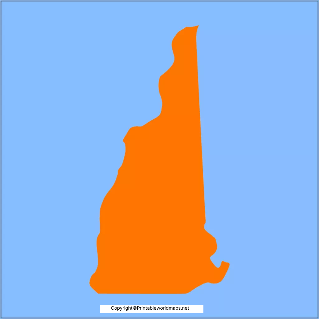
New Hampshire is considered as the US state; among one of the six states of New England, situated in the northeastern part of the US. This state has borders with the Quebec province of Canada in the northwest and north, and in the east, it has borders with the US state of Maine and Massachusetts. Further, the River Connecticut forms its border of New Hampshire with Vermont in the west. The land area covered by New Hampshire is 9,349 square miles or 24,214 square kilometers.
The estimated population of New Hampshire is expected to be 1.38 million and is considered the forty-first most populous state in the US. An outline map of the US state of New Hampshire shows its outer geographical boundary only. From this, the user can have an idea about the area covered by the country, and use it to locate places in New Hampshire state. This will help him or her in improving their knowledge about the state.
It is also possible for the user to draw manually the blank map of New Hampshire outline by using the printed version of the blank map of New Hampshire as a guiding tool. The user can color by marking all the other geographical details as a part of the classroom assignment.
Printable Map of New Hampshire
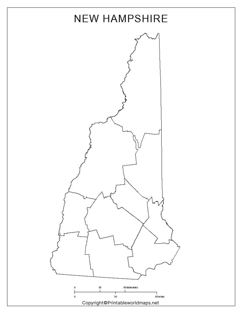
Students and researchers can go for a printable map of New Hampshire as it is considered as an important map reading tool enabling to gain a good knowledge of the geography of the state. It will assist them to know more about the state and its surrounding regions. A printable map of New Hampshire can be browsed through the internet and accessed easily. Copies of the map can be printed in a hassle-free way without incurring any cost.
Transparent PNG Blank Map of New Hampshire
It can be observed by many users that a transparent PNG New Hampshire map is very handy, more attractive, and found useful in their geographical studies. By clicking the download button on the website, they can access a PNG New Hampshire map within a few seconds. They can use this format for preparing the desired PowerPoint presentation needed for completing school assignments.
New Hampshire Map worksheet
Researchers, students, and school-going children find that the New Hampshire map worksheet is a great document enabling them to gain knowledge of the geography of the state. They can freely download this worksheet document as it covers all the aspects of New Hampshire state. Its geographical details in the form of questions for practicing and answering questions, within a time schedule.


