
Blank Map of Nevada provides a simple outline of the state for students, teachers, researchers, presentations, and geography practice. Nevada is located in the western United States and shares borders with Oregon and Idaho to the north, Utah to the east, Arizona to the southeast, and California to the west and southwest.
The state is known for its basin-and-range landscape, extensive desert regions, mountain ranges, and important geographic features including the Colorado River and Lake Tahoe. The U.S. Census Bureau lists Nevada’s 2025 population estimate at 3,282,188 and its 2020 land area at 109,860.46 square miles.
Use this Blank Map of Nevada to study state boundaries, practice labeling cities and geographic features, create classroom worksheets, or prepare educational presentations.
Blank Map of Nevada – Outline
The Blank Map of Nevada – Outline shows the external shape and state boundary without adding unnecessary geographic labels. It can be useful for students who need to practice identifying Nevada’s neighboring states, major cities, mountain ranges, rivers, and other features.
Nevada borders California, Oregon, Idaho, Utah, and Arizona. Its southeastern boundary also follows the Colorado River in part, separating Nevada from Arizona. The U.S. Geological Survey confirms that the Colorado River forms the border between southeastern Nevada and northwestern Arizona.
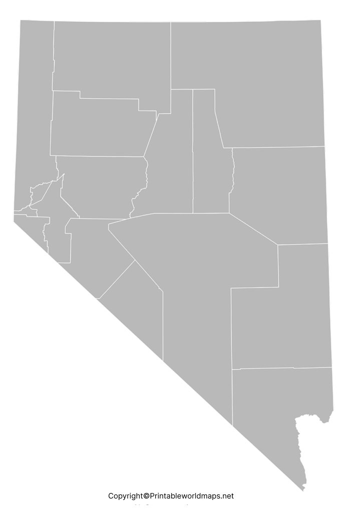
An outline map can be used to:
- Practice drawing and labeling Nevada.
- Identify neighboring states.
- Mark major cities and counties.
- Add mountain ranges and rivers.
- Create geography worksheets.
- Prepare school assignments and presentations.
- Study U.S. state geography.
Nevada Map Facts and Geography
Nevada covers approximately 109,860 square miles of land, according to the U.S. Census Bureau’s 2020 geographic data. Its population was estimated at 3,282,188 on July 1, 2025, compared with 3,104,614 recorded in the 2020 Census.
Quick Nevada Facts
| Fact | Information |
|---|---|
| State | Nevada |
| Region | Western United States |
| Capital | Carson City |
| Largest city | Las Vegas |
| FIPS code | 32 |
| 2025 population estimate | 3,282,188 |
| 2020 Census population | 3,104,614 |
| 2020 land area | 109,860.46 sq mi |
| Highest point | Boundary Peak |
| Major geographic region | Great Basin / Basin and Range |
| Statehood | October 31, 1864 |
| Nickname | The Silver State |
Nevada’s landscape is strongly associated with the Great Basin and Basin and Range Province, where long mountain ranges are separated by broad valleys. The National Park Service describes the Great Basin as a large internally draining region covering most of Nevada and extending into surrounding states.
Printable Map of Nevada
A Printable Map of Nevada can be useful when a physical map is easier to study than an interactive map. Students can print the outline and add labels by hand, while teachers can use the map as a classroom geography activity.
The printable Nevada map can be used for:
- Geography lessons
- State identification exercises
- Classroom quizzes
- Homeschool activities
- Travel planning
- Geography presentations
- Map-labeling practice
- Educational worksheets
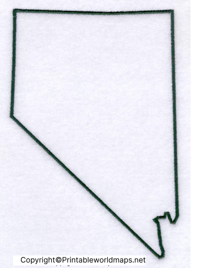
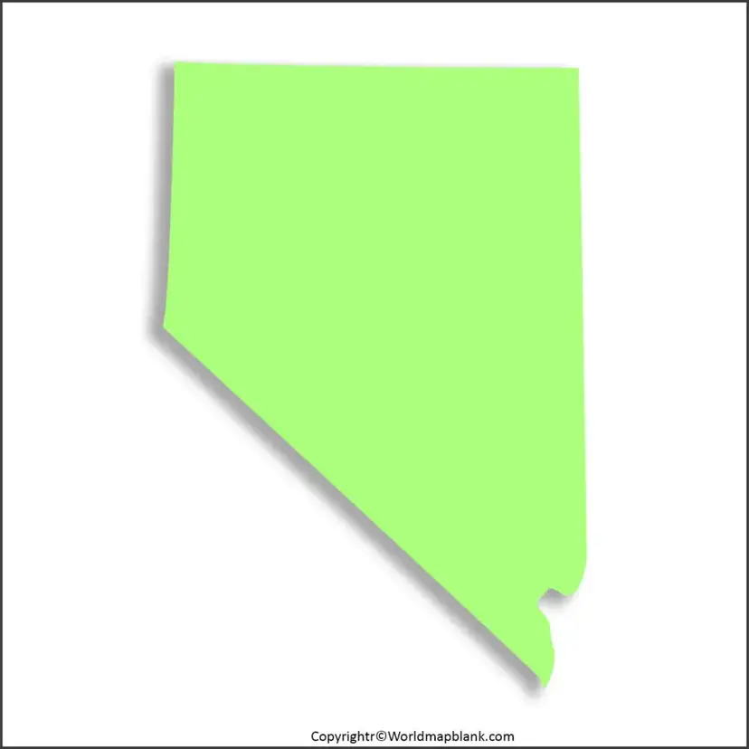
Transparent PNG Blank Map of Nevada
A Transparent PNG Blank Map of Nevada is particularly useful when the state outline needs to be placed over another design or document.
For example, users can add the transparent map to:
- Microsoft PowerPoint presentations
- Google Slides
- Classroom worksheets
- Educational websites
- Geography projects
- Infographics
- Digital study materials
The transparent background makes it easier to combine the Nevada outline with text, colors, labels, symbols, or other geographic information.
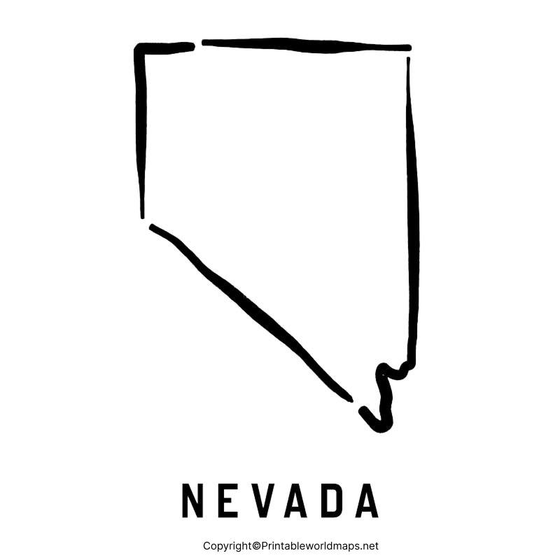
Blank Nevada Map worksheet
A Blank Nevada Map worksheet gives students an easy way to practice state geography. A teacher can provide an unlabelled outline and ask students to identify neighboring states, cities, rivers, mountain ranges, or other geographic features.
A worksheet can include activities such as:
- Label Nevada’s neighboring states.
- Mark Carson City, the state capital.
- Locate Las Vegas and Reno.
- Identify the Colorado River.
- Mark Lake Tahoe.
- Add major mountain ranges.
- Identify northern, central, and southern Nevada.
- Color different geographic regions.
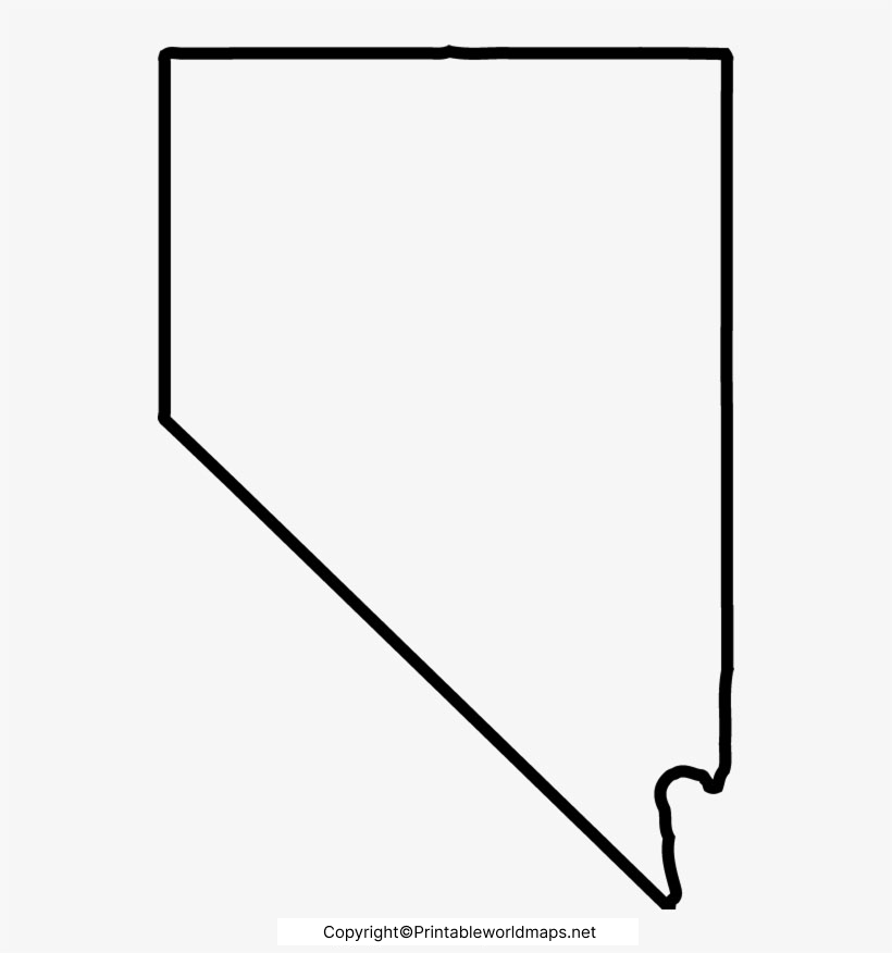
Major Geographic Features of Nevada
Nevada’s geography is more varied than its desert reputation may suggest. Much of the state lies within the Great Basin, characterized by mountain ranges separated by valleys. The National Park Service notes that the Great Basin is an internally draining region where precipitation does not flow to the ocean.
Great Basin
The Great Basin covers most of Nevada and includes numerous mountain ranges and closed drainage basins. Its landscape is part of the larger Basin and Range Province.
Colorado River
The Colorado River forms part of Nevada’s southeastern boundary with Arizona. Hoover Dam and Davis Dam control sections of the river in Nevada and create Lake Mead and Lake Mohave.
Lake Tahoe
Lake Tahoe lies on the Nevada-California border and is one of the most recognizable geographic features associated with the state.
Mountain Ranges
Nevada contains numerous mountain ranges separated by valleys. The state’s mountainous landscape is a defining feature of the Basin and Range Province.
Boundary Peak
Boundary Peak in Esmeralda County is Nevada’s highest point, at approximately 13,143 feet. The Nevada Legislature’s educational material identifies Boundary Peak as the state’s highest point.
Major Cities to Mark on a Blank Nevada Map
For classroom or geography practice, these cities are useful locations to add to a Blank Map of Nevada:
- Las Vegas
- Henderson
- Reno
- North Las Vegas
- Carson City
- Sparks
- Elko
- Mesquite
- Boulder City
- Winnemucca
- Ely
- Fallon
- Pahrump
Carson City is Nevada’s capital, while Las Vegas is the state’s largest city.
Nevada Bordering States
A useful exercise with a Blank Map of Nevada is to label the five states surrounding Nevada:
- Oregon – north/northwest
- Idaho – north
- Utah – east
- Arizona – southeast
- California – west and southwest
This makes the outline map useful for teaching both state location and regional geography.
Interesting Facts About Nevada
Here are several additional facts that can increase the educational value of the page without unnecessary keyword repetition:
- Nevada became a U.S. state on October 31, 1864.
- Nevada is officially known as the Silver State.
- Nevada’s official state colors are silver and blue.
- Sandstone is Nevada’s official state rock.
- Turquoise is the official state semiprecious gemstone.
- Neon became Nevada’s official state element in 2019.
- Great Basin National Park protects part of Nevada’s distinctive mountain-and-desert landscape.
- Nevada’s geography includes desert valleys, mountain ranges, alpine environments, and dry lake basins.
Why Use a Blank Map of Nevada?
A blank state map is useful because it allows learners to actively identify geographic locations rather than simply reading labels from a completed map.
It can be used by:
- Students for geography practice
- Teachers for classroom exercises
- Parents and homeschoolers for learning activities
- Researchers for basic geographic reference
- Designers for educational graphics
- Presenters for PowerPoint and slide presentations
- Travel planners for marking destinations and routes
How to Use the Nevada Map
For Students
Print the outline and label the capital, major cities, neighboring states, rivers, and mountain ranges.
For Teachers
Turn the map into a quiz by removing labels and asking students to identify important geographic features.
For Presentations
The transparent PNG version can be placed over a colored background or combined with other graphics.
For Worksheets
Use the printable PDF to create physical classroom activities and map-labeling exercises.
Frequently Asked Questions
What is a Blank Map of Nevada?
A Blank Map of Nevada is an unlabelled outline map showing the state’s general shape and boundaries. It can be used for geography practice, worksheets, education, and presentations.
Can I print the Blank Map of Nevada?
Yes. The printable Nevada map can be downloaded and printed for geography activities, classroom exercises, and personal study.
Which states border Nevada?
Nevada borders Oregon, Idaho, Utah, Arizona, and California.
What is the capital of Nevada?
Carson City is the capital of Nevada.
What is the largest city in Nevada?
Las Vegas is Nevada’s largest city by population.
What is the population of Nevada?
The U.S. Census Bureau estimated Nevada’s population at 3,282,188 on July 1, 2025.
How large is Nevada?
The U.S. Census Bureau reports Nevada’s 2020 land area as 109,860.46 square miles.
What is the highest point in Nevada?
Boundary Peak is Nevada’s highest point, at approximately 13,143 feet above sea level.
What geographic region covers most of Nevada?
Much of Nevada lies within the Great Basin, which is part of the larger Basin and Range Province.
Why is a blank Nevada map useful?
It can be used for state geography lessons, map-labeling exercises, classroom worksheets, homeschool activities, presentations, and study materials.
Reference Links
https://www.census.gov/quickfacts/fact/table/NV/BZA115223
https://www.usgs.gov/centers/nevada-water-science-center/science/science-colorado-river-basin
https://www.nps.gov/grba/learn/nature/mountains.htm
https://www.nps.gov/grba/planyourvisit/the-great-basin.htm
https://www.nps.gov/articles/basinrange.htm
https://www.leg.state.nv.us/assembly/wp-content/uploads/2024/05/Assembly-vocab-cards-Elementary.pdf









