

A Printable Blank Map of Malta is a useful resource for students, teachers, geography enthusiasts, and anyone learning about the Maltese Islands. A blank outline map can help you identify the islands, practise geographical labeling, complete classroom activities, and understand Malta’s location in the Mediterranean Sea.
Malta is a small island country in Southern Europe, south of Sicily, Italy. The Maltese archipelago includes three principal inhabited islands: Malta, Gozo, and Comino. The islands have distinctive coastlines and a landscape shaped largely by limestone.
On this page, you can access a blank outline map of Malta, a printable map, a transparent PNG map, and a practice worksheet. Choose the format that best suits your educational or reference needs.
Blank Map of Malta – Outline
A blank map of Malta shows the island’s outline without the full set of labels and geographical details found on a political or physical map. It is useful for drawing, coloring, labeling, and practising the identification of geographical features.
Malta lies in the central Mediterranean Sea, approximately 93 km south of Sicily. Its principal islands are Malta, Gozo, and Comino. Malta is the largest island and the country’s main administrative and commercial centre, while Gozo is the second-largest island.
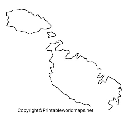
Use the outline to practise identifying the island shapes, marking the surrounding Mediterranean Sea, or preparing a geography assignment. Because a blank outline may not include place names, use an authoritative reference map when checking the accuracy of labels.
Printable Map of Malta
A printable map of Malta is convenient for school projects, worksheets, geography lessons, and personal reference. A PDF is generally suitable for printing, while a JPG or PNG image can be inserted into a document or displayed on a digital screen.
Before printing, check the page orientation, image clarity, and scale. For a classroom activity, print the map at a size that leaves enough room for students to write labels and notes.
A blank map is best for practice and learning. For navigation, travel planning, or locating exact addresses, use a current, detailed map instead.
Transparent PNG Malta Map
A transparent PNG Malta map can be useful when creating school presentations, geography posters, digital worksheets, or educational graphics. Unlike a standard image with an opaque background, a PNG file may preserve transparency, allowing it to be placed over a colored background or another design.
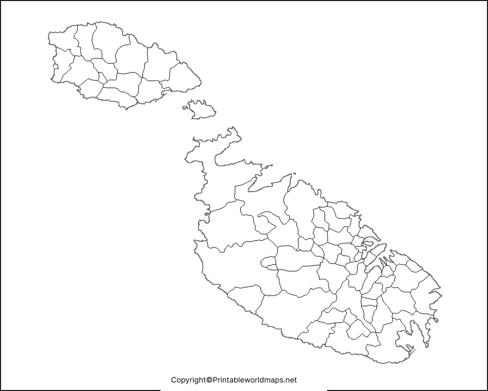
The PNG format is suitable for many digital projects, while PDF is often more convenient for printing. However, transparency depends on the actual image file, and some PDF viewers or export settings may display a transparent background as white.
Malta’s landscape is characterized by limestone terrain and a varied coastline. A simple outline map is useful for studying island shapes, but it does not provide enough information to assess geology, elevation, climate, or other physical characteristics. Consult a specialist map or official geographical source when you need those details.
Blank Map of Malta for Practice Worksheet
A blank map of Malta for a practice worksheet helps learners test their geographical knowledge without relying on printed labels. Teachers can use it for classroom exercises, while students can practise independently before a geography test.
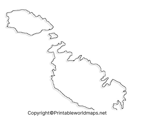
Practice Activities Using a Blank Malta Map
Try these activities to make the most of your worksheet:
- Identify the main islands: Mark Malta, Gozo, and Comino if the map includes enough geographical detail.
- Add geographical labels: Locate Valletta, Malta’s capital, using a reliable reference map.
- Study the location: Mark the Mediterranean Sea and indicate the approximate direction of Sicily.
- Compare island shapes: Observe the differences between Malta and Gozo and identify Comino’s position between them.
- Create a revision exercise: Hide your reference map and label the features you remember, then check your answers.
These exercises can support map-reading skills, spatial awareness, and geographical recall. The exact activities possible will depend on the detail and scale of the selected map.
Important Geographical Facts About Malta
Use these verified facts as a quick reference when completing your map activities:
- Region: Southern Europe, in the Mediterranean Sea.
- Capital city: Valletta.
- Largest island: Malta.
- Second-largest island: Gozo.
- Smallest of the three principal inhabited islands: Comino.
- Approximate total area of the Maltese Islands: 316 square kilometres.
- Nearby European landmass: Sicily, Italy, approximately 93 km to the north.
These figures are rounded reference values. Distances can vary depending on the points measured, and area figures can vary slightly by source and measurement method. For more detailed information, consult the Government of Malta or official European geographical resources.
How to Use and Print a Blank Malta Map
Follow these steps to use the map for learning or a school project:
- Choose the outline, printable PDF, transparent PNG, or practice worksheet.
- Open the file and check that the image is complete and legible.
- Print the PDF on A4 paper or adjust the page size to suit your activity.
- Label the islands and other features using a reliable reference map.
- Review your answers and correct any misplaced labels.
For digital projects, insert the PNG into a document or presentation. If you need a map with administrative boundaries, town names, roads, or coordinates, choose a detailed reference map rather than relying on a blank outline.
Frequently Asked Questions About the Blank Map of Malta
1. What is a blank map of Malta used for?
A blank map of Malta is used for geography lessons, labeling exercises, school assignments, map-reading practice, and educational presentations. It allows learners to identify and label geographical features themselves.
2. Can I download a printable blank map of Malta as a PDF?
Yes. PDF versions are provided for the outline map, printable map, transparent-map resource, and practice worksheet where available. Open the relevant PDF link above to view or print the file.
3. What are the three main inhabited islands of Malta?
The three principal inhabited islands are Malta, Gozo, and Comino. Malta is the largest, Gozo is the second-largest, and Comino is the smallest of these three.
4. Where is Malta located?
Malta is an island country in the Mediterranean Sea, south of Sicily, Italy. Its position places it between Southern Europe and North Africa.
5. What is the capital of Malta?
Valletta is the capital of Malta. You can practise marking its approximate location on a detailed map before transferring the label to a blank worksheet.
6. What is the difference between a PNG map and a PDF map?
PNG is an image format suitable for digital documents, presentations, and graphics. PDF is a document format that is generally convenient for printing and maintaining page layout. A PNG file supports transparency, but the background is transparent only if the image was created with an alpha channel.
No. A blank outline map is intended primarily for educational and reference purposes. For navigation, driving directions, exact locations, or current road information, use an appropriate detailed map.
8. How can teachers use a Malta outline map in class?
Teachers can ask students to identify the main islands, label the capital, mark the surrounding sea, compare island shapes, and complete short map-based quizzes. The activity should match the level of detail available in the worksheet.
Reference links
https://govcms.gov.mt/en/About%20Malta/Pages/The%20Maltese%20Islands.aspx
https://clean-energy-islands.ec.europa.eu/countries/malta
https://clean-energy-islands.ec.europa.eu/malta-regulatory-introduction
