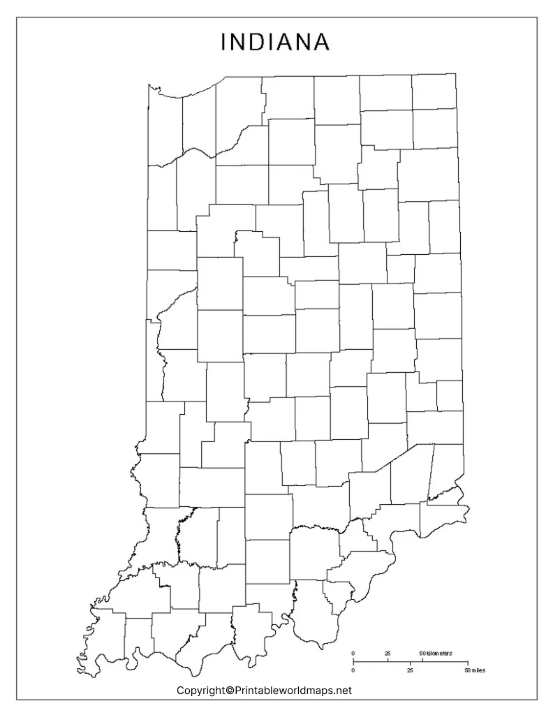
Blank Map of Indiana can be easily accessed for free from the web by students, researchers, school-going children, or teachers. They can click the print button and the map gets downloaded to the system to take a printout. This hard copy of the blank map of Indiana can be used for all study purposes, enabling the user to compile the statistical geographical data of Indiana state, in the US. It is possible for the user to learn and memorize the locations of cities, rivers, mountains, and forests.
Contents
Blank Map of Indiana – Outline

The user can also learn about the other US states bordering Indiana state. Through the blank map Indiana outline, the user will learn that Indiana is a Midwestern US state, situated at the ‘Crossroads of America.’ In the east, Indiana has borders with Ohio, in the west, the River Wabash forms the southern section of its border with Illinois.

In the south, the Ohio river that flows through Indiana creates a natural border with Kentucky state. In the north, Indiana shares a state line with the state of Michigan. In the northwest, this state has a short coastline border with the Lake of Michigan.

The US state of Indiana is smaller in size when compared to other US states, and occupies a land area of 94,321 square kilometers or 36,418 square miles. School teachers can access and take out a number of prints of the blank Map of Indiana outline formats.

They can distribute among all the students attending class room sessions of geography. The blank outline map of Indiana can be used as a guiding tool to draw state boundaries and county boundaries of the state of Indiana, manually.
Printable Map of Indiana

Printable blank map of Indiana can be selected as an essential tool for school students to understand the geographical details of Indiana state.

It will also help them to know more about the country and its boundaries. Some of the tourists visiting Indiana state can get the print of a printable blank map of Indiana, and use to fill the blank map once the place of interest like cities, monuments, architectural buildings are visited during their tour program.
Transparent PNG Indiana Map

Many users find that a transparent PNG Indiana state map is very handy, more attractive and useful in their geographical studies. A transparent PNG map of Indiana state is available by clicking the download button. This map format will be very efficient in preparing a PowerPoint presentation as a part of a school assignment. Other benefits of transparent PNG Indiana map are that they are illustrious and are available in HD form with 3D effects.
Blank Map of Indiana worksheet

Students and other users find that referring to the worksheet map of Indiana is the most efficient way to gain knowledge of the geography of the state. They can download this wonderful worksheet document. It covers all the aspects of Indiana state and its geographical details in the form of questions for practicing and answering questions, within a time schedule.


