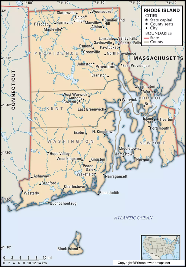
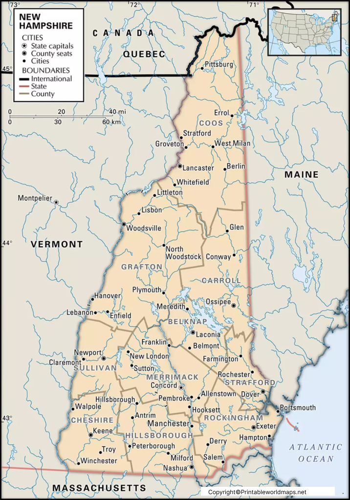
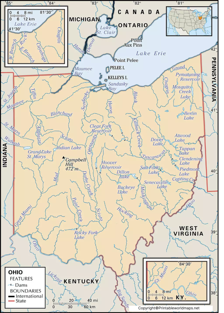
Explore our collection of USA Maps to learn about the 50 states, state capitals, major cities, and geographical regions of the United States. These maps are useful for students, teachers, parents, and geography enthusiasts who want to understand the country’s political divisions, geographical locations, and physical features. Whether you are preparing a school assignment, creating classroom activities, or improving your knowledge of American geography, USA maps provide a helpful visual resource for learning and reference.
Our USA map collection may include printable state maps, political maps, physical maps, blank outline maps, and labeled maps, depending on the available resources. Use these maps to identify state boundaries, locate capitals, explore major geographical features, and practice map-labeling activities. For reliable geographical information, consult resources such as the United States Geological Survey (USGS) and the U.S. Census Bureau. Check each map’s labels, geographical coverage, and publication details to ensure it meets your educational or research needs.