
Printable Map Resources
Printable World Maps for Learning, Teaching and Geography
Explore printable world maps, country maps, and continent maps for geography learning, classroom activities, and personal study. Discover blank maps for labeling practice and labeled maps to help identify countries, continents, oceans, and other geographical features.
Explore Our Resources
Explore Our Printable Map Collections
Discover printable maps for geography learning, classroom activities, and personal study. Explore different map collections to find resources suited to your needs.

World Maps
Explore maps of the world showing countries, continents, oceans, and geographical features.
Explore World Maps
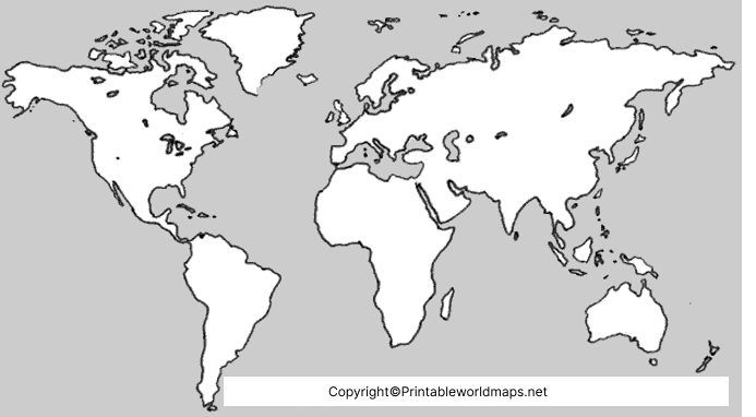
Blank Maps
Find outline maps for labeling practice, geography exercises, and educational activities.
Browse Blank Maps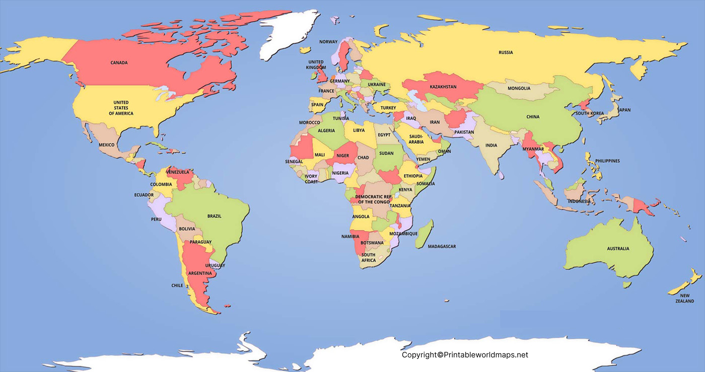
Labeled Maps
Explore maps with geographical names to help identify countries, continents, and locations.
View Labeled Maps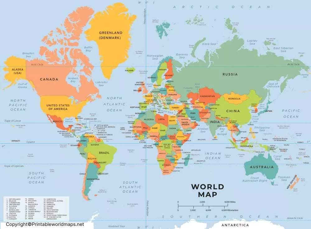
Political Maps
Discover maps showing countries, national boundaries, and political divisions.
View Political Maps
Physical Maps
Explore natural features such as mountains, plains, rivers, and other landforms.
Explore Physical Maps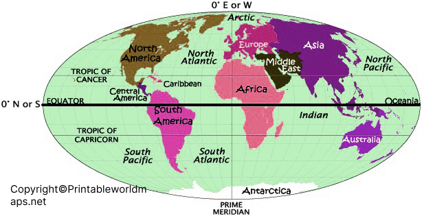
Continent Maps
Browse maps of the world's continents and explore their geographical locations.
Explore Continents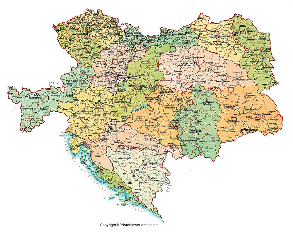
Country Maps
Find maps organized by country for geography lessons, reference, and personal study.
Browse Countries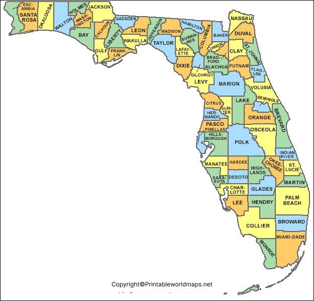
USA Maps
Explore maps of the United States for learning about states and geography.
Explore USA MapsLatest Articles
Don't miss out on our latest articles
Sign up to receive the latest articles right in your inbox.
email address
*Replace this mock form with your preferred form plugin
Discover Our Maps
Some Printable Maps
Explore individual map resources for geography learning, classroom activities, and personal study. Choose a map to discover its features and available printable formats.
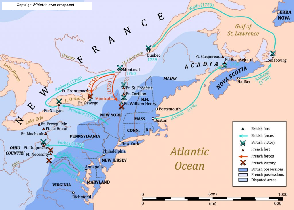
Appalachian Mountains Map
This detailed Appalachian Mountains Map helps students, travelers, teachers, and geography enthusiasts locate one of the world’s oldest mountain ranges on a global map.
View Appalachian Mountains Map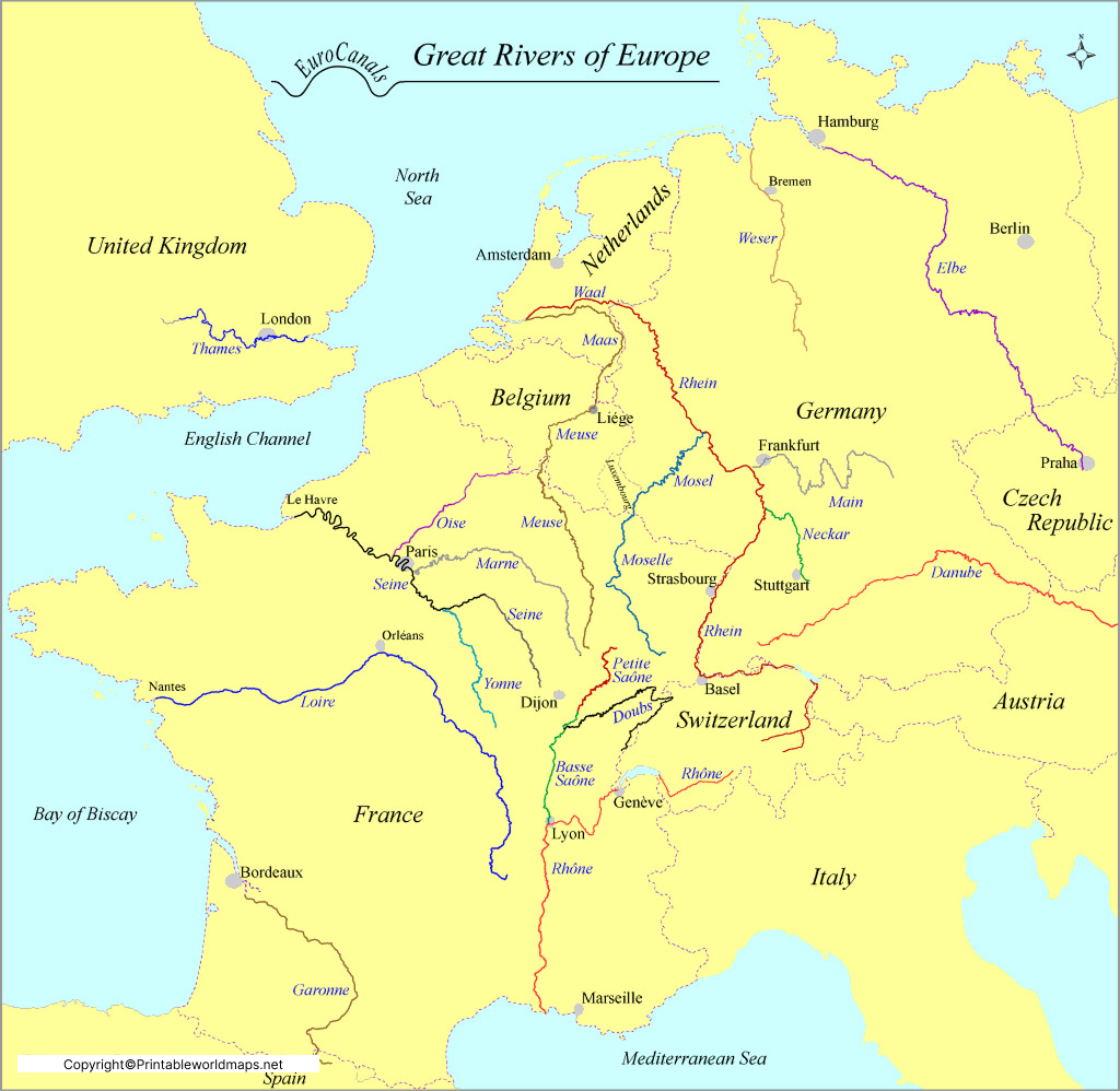
Europe Rivers Map
The Europe Rivers Map is one of the most useful educational resources for understanding the physical geography of Europe.
View Europe Rivers Map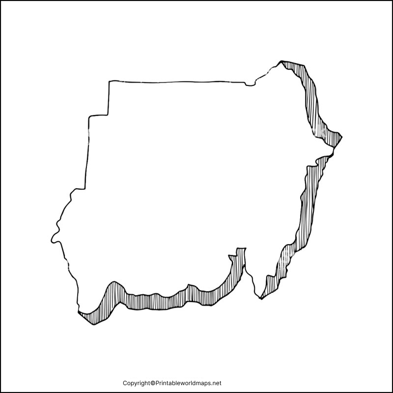
Blank Map of Sudan
If you are a scholar and learning the geography of Sudan then our printable blank map of Sudan can be a decent source of learning for you.
View Blank Map of Sudan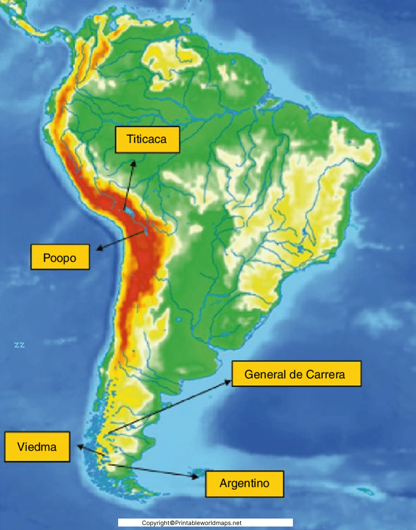
South America Mountains Map
Looking forward to exploring the physical geography of South America? Check out our South America Mountains Map and explore the best from the geography of the continent.
View South America Mountains Map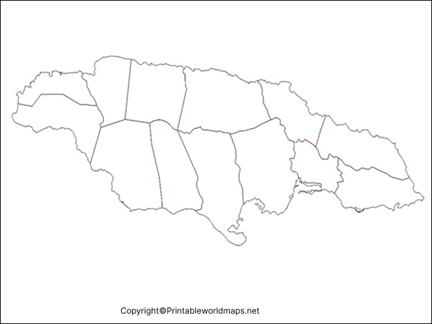
Blank Map of Jamaica
Blank Map of Jamaica can guide the geographical scholars in drawing the most accurate map of the country.
View Blank Map of Jamaica
Blank Map of Vanuatu
A Blank Map of Vanuatu is one of the best educational resources for students, teachers, travelers, researchers, and geography enthusiasts.
View Blank Map of VanuatuSimple Printing Guide
How to Use and Print Our Maps
Follow these simple steps to find a suitable map, access its available file, and prepare it for printing at home, school, or the office.
Choose Your Map
Browse our world maps, country maps, continent maps, and other collections. Choose a blank, labeled, political, or physical map based on your requirements.
Open the Map Page
Open the relevant map page to review its geographical features, labels, description, and available file formats before choosing a resource.
Select the Available File
Choose an available image or document format that suits your needs. Check the file's dimensions and readability before sending it to your printer.
Print Your Map
Open the file and check the print preview. Select the appropriate paper size, orientation, and scaling before printing your map.
Choose the Right Paper Settings
Check whether the map is better suited to portrait or landscape orientation. Use the print preview to confirm that important geographical details are visible and that the map fits the page.
Check Map Quality Before Printing
Fine labels and boundary lines may become difficult to read when an image is enlarged. Use a suitable file resolution and avoid scaling the map beyond its intended size.
About Printable World Maps
Printable World Maps is an online resource for people looking for maps to support learning, teaching, research, presentations, and general reference. Our website brings together different types of printable maps so visitors can find resources suited to their needs.
Our collections cover world maps, country maps, continent maps, blank maps, labeled maps, political maps, and physical maps. Depending on the resource, a map may be useful for classroom activities, geography practice, personal projects, or reference purposes.
We focus on making map resources easy to browse and practical to use. We also aim to provide clear page descriptions and useful printing guidance so visitors can understand what a map contains before using it.
Our Approach to Map Resources
We aim to describe each map accurately, including its subject, intended use, and available format wherever that information is known.
We provide practical guidance to help visitors choose suitable maps and check page size, orientation, and print quality.
We aim to respect applicable usage rights and provide attribution where required. Visitors should check the terms attached to individual resources before reusing or redistributing them.
We work to improve the website's organization, descriptions, accessibility, and overall browsing experience over time.
Frequently Asked Questions
Have questions about printable world maps? Find helpful information about choosing, viewing, downloading, and printing map resources on our website.
What can I find on Printable World Maps?
Printable World Maps provides map resources covering subjects such as world maps, country maps, continent maps, blank maps, labeled maps, political maps, and physical maps. Available resources and formats may vary by page.
How do I find the map I need?
Start by exploring the relevant collection on our website. For example, choose blank maps if you need an outline for labeling practice, or labeled maps if you want place names to be visible.
You can begin with our World Maps collection and explore related categories from there.
Can I print these maps at home?
If a map page provides a printable file or a print-friendly image, you can generally use your browser or compatible image viewer to print it. Available options depend on the individual resource.
Before printing, check the paper size, page orientation, margins, and print preview to help prevent important parts of the map from being cut off.
What is the difference between blank and labeled maps?
A blank map generally shows geographic outlines without some or all place names, making it useful for labeling exercises and practice. A labeled map includes names such as countries, regions, cities, or other geographic features, depending on the map.
The exact information shown varies by map.
What is the difference between political and physical maps?
Political maps emphasize boundaries and administrative divisions, such as countries or states. Physical maps focus on natural geographic features, such as mountains, plains, rivers, and elevation.
Some maps combine political boundaries with physical features.
Are these maps suitable for students and teachers?
Many printable maps can support geography lessons, classroom activities, revision, and map-labeling exercises. Teachers and students should choose a resource that matches the lesson and check the map's labels, scale, and geographic details before relying on it for an assignment.
Can I use the maps for commercial purposes?
Usage rights can differ from one map to another. Being able to view or download a resource does not automatically mean it can be republished, resold, redistributed, or used commercially.
Check the license or usage terms associated with the specific map and obtain permission where required.
What should I do if a map does not print correctly?
Open the print preview and check the paper size, orientation, scaling, and margins. If the map looks cropped, try a suitable landscape or portrait orientation and adjust the scaling options.
If the original file is available, try opening it in a compatible viewer and printing from there.
How can I report an issue or ask a question?
If you notice an incorrect link, a problem with a map, or information that needs clarification, please contact us through our Contact Us page. Include the relevant map page and a description of the issue so it is easier to identify.
Still Have a Question?
Contact us if you need help finding a map or want to report an issue with a page on our website.
Contact UsFind the Right Printable Map for Your Needs
Explore our collections of world maps, country maps, continent maps, and different map types. Find a resource that suits your learning, teaching, or reference needs.
Choose a map, review its details, and check the available format and usage terms before printing or reusing it.